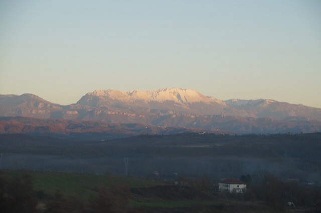
Massif montagneux · Bjeshkët e Nemuna
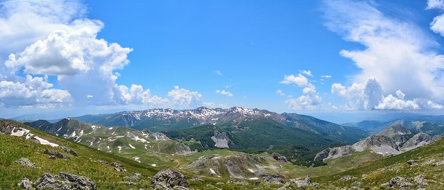
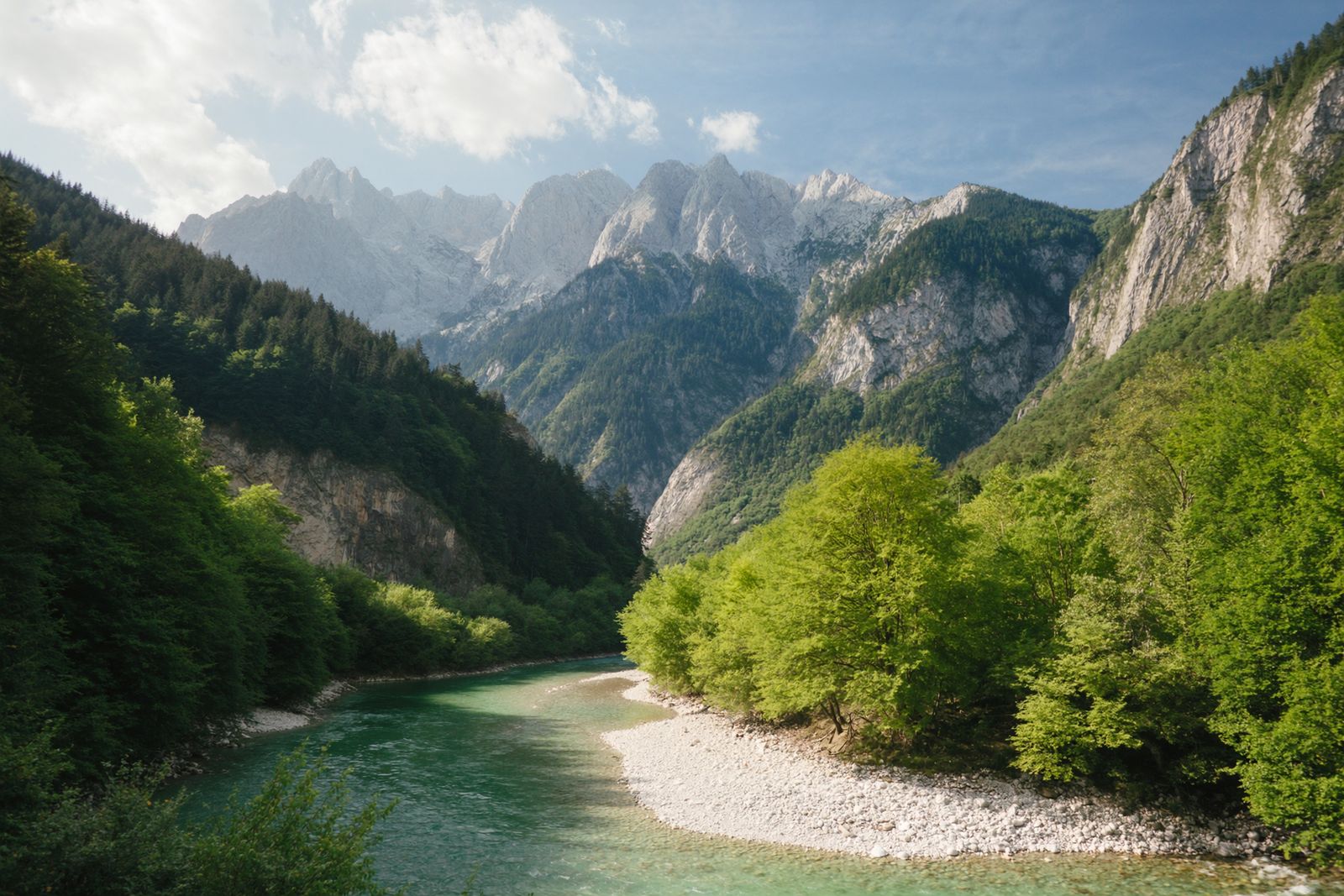
The Albanian Alps
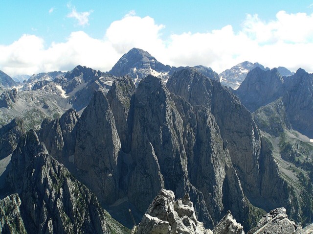
The limestone wall of the far north — locally the Accursed Mountains — shared with Montenegro and Kosovo.
Chaque comté, chaque côte, chaque siècle
Vue guidée
Nouveau en Albanie ? Chaque page s'ouvre sur une explication en langage clair, accessible à un enfant de dix ans, avant d'entrer dans le détail.
Vue expert
Vous connaissez déjà les bases. Directement à l'essentiel, les explications simples étant masquées. Il s'agit du réglage par défaut.
Mountains, rivers, lakes, canyons, springs and the fifteen protected areas.
This section covers Albania's landscape: the mountains, rivers, lakes and national parks.
Massif montagneux · Bjeshkët e Nemuna
The limestone wall of the far north — locally the Accursed Mountains — shared with Montenegro and Kosovo.
Montagne · Shkodër
At 2,694 m the highest peak entirely inside the Dinaric Alps, deep in the Albanian Alps.
Montagne · Dibër
At 2,764 m the highest point in both Albania and North Macedonia, on the border ridge.
Massif montagneux · Vlorë
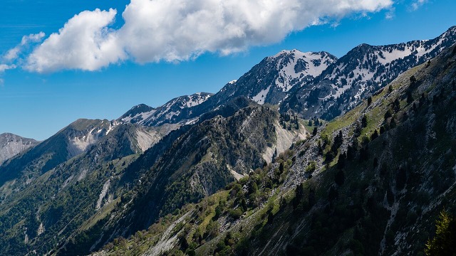
The coastal ridge that makes the Riviera: 2,000 m peaks rising directly out of the Ionian.
Montagne · Berat
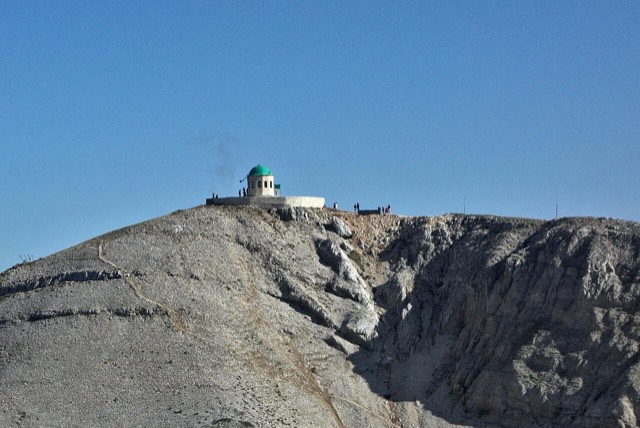
A 2,416 m massif above Berat, and the site of an annual Bektashi pilgrimage each August.
Montagne · Vlorë
The 2,045 m high point of the Ceraunian ridge, directly above the Riviera coast.
Montagne · Tiranë
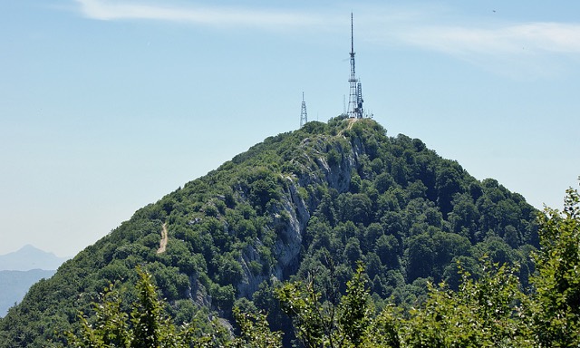
Tirana's own mountain: 1,613 m, a national park, and a 4.2 km cable car from the city edge.
Espace protégé · Kukës
A broad U-shaped glacial valley of white gravel and beech forest under the Alps' highest peaks.
Espace protégé · Shkodër
The glacial valley park at the heart of the Albanian Alps, merged into a wider protected complex in 2022.
Espace protégé · Vlorë
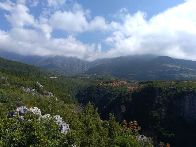
A pine-forested pass at 1,027 m where the road drops from mountain forest to the Ionian in a few kilometres.
Espace protégé · Vlorë
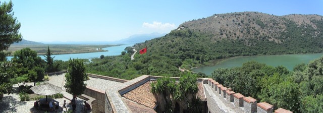
A wetland and forest park wrapped around the archaeological city, on the Vivari channel.
Espace protégé · Vlorë
Albania's only marine national park: sea caves, wrecks and the country's clearest water.
Espace protégé · Gjirokastër
Declared in March 2023, Europe's first national park built around a whole free-flowing river system.
Espace protégé · Fier
Coastal pine forest, dunes and lagoon protecting the region's Dalmatian pelican colony.
Espace protégé · Elbasan
Old-growth beech forest on the North Macedonian border, part of a UNESCO-listed primeval forest network.
Espace protégé · Dibër
A cluster of small glacial lakes among black pine on the Lurë ridge, badly damaged by logging and slowly recovering.
Espace protégé · Lezhë
Lagoons, pine and one of Albania's few surviving coastal alluvial forests, beside Shëngjin.
Espace protégé · Korçë
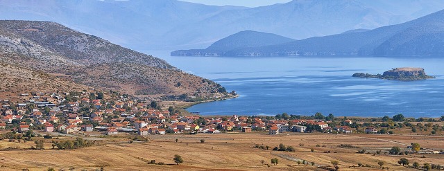
The Albanian share of a three-country park around the Great and Small Prespa lakes.
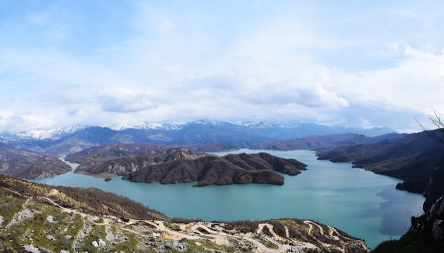
Lac · Shkodër
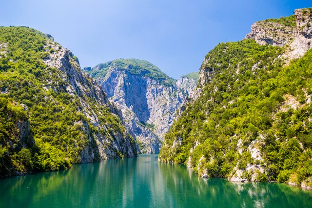
A 34 km reservoir in a gorge so narrow the ferry crossing is treated as a scenic journey in its own right.
Lac · Korçë
One of Europe's oldest and deepest lakes, UNESCO-listed and home to species found nowhere else.
Lac · Shkodër
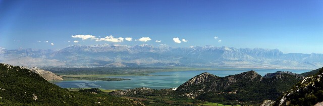
The largest lake in southern Europe, shared with Montenegro and a major bird wintering ground.
Lac · Korçë
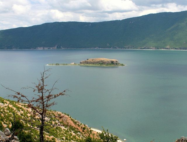
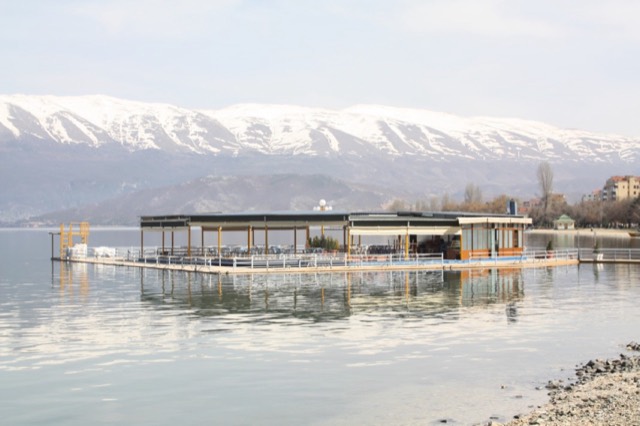
A high tectonic lake where Albania, Greece and North Macedonia meet, draining underground into Ohrid.
Lac · Fier
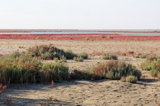
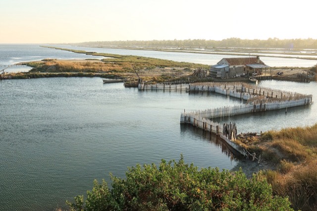
The largest lagoon in Albania and the western Balkans' main breeding site for the Dalmatian pelican.
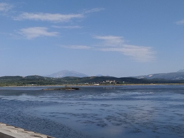
Lac · Vlorë
Albania's second-largest lagoon, with working saltpans and the island monastery of Zvërnec.
Lac · Tiranë
Tirana's drinking-water reservoir, ringed by limestone cliffs half an hour from the capital.
Fleuve/Rivière · Gjirokastër
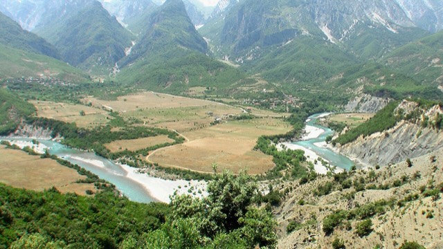
One of the last large free-flowing rivers in Europe, declared a Wild River National Park in March 2023.
Fleuve/Rivière · Shkodër
A tributary of the Drin above Koman, reached by boat and often called Albania's Thailand.
Fleuve/Rivière · Berat
The river that carved the Osum canyon and runs through the middle of Berat.
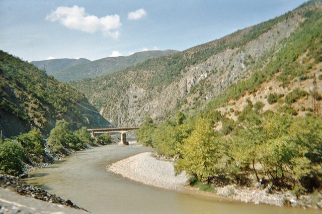
Fleuve/Rivière · Shkodër
Albania's longest river and the backbone of its electricity system, dammed three times in the north.
Fleuve/Rivière · Shkodër
The short outflow of Lake Shkodër, and Albania's only navigable river.
Fleuve/Rivière · Elbasan
The river that splits Albania in two — the historic dividing line between Gheg and Tosk.
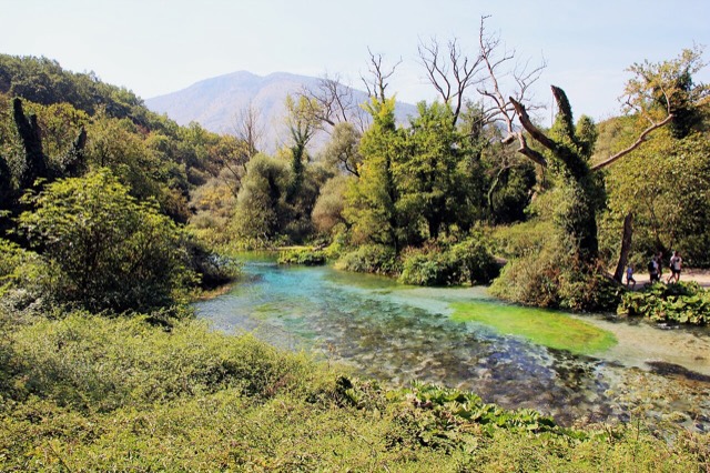
Source · Vlorë
A karst spring of extraordinary clarity whose bottom has never been definitively reached.
Canyon · Berat
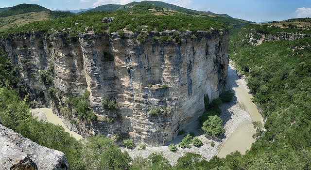
A 26 km limestone gorge up to 80 m deep, run by raft in spring and walked in late summer.
Canyon · Vlorë
A narrow limestone slot that meets the sea at Gjipe beach — the Riviera's one true canyon.
Source · Gjirokastër
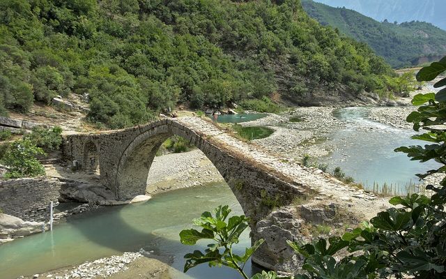
Sulphur pools beside the Ottoman Katiu bridge, at the mouth of the Lengarica canyon.
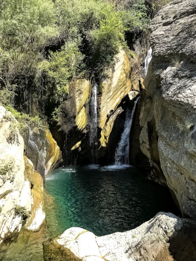
Cascade · Shkodër
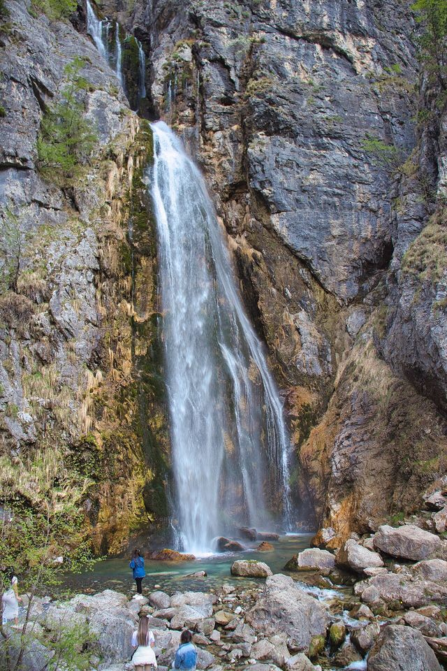
A 25–30 m fall in the Theth valley, and a declared natural monument.
Cascade · Berat
A cold spring-fed fall and pool in the Tomorr foothills near Berat.