سلسلة جبلية · Bjeshkët e Nemuna
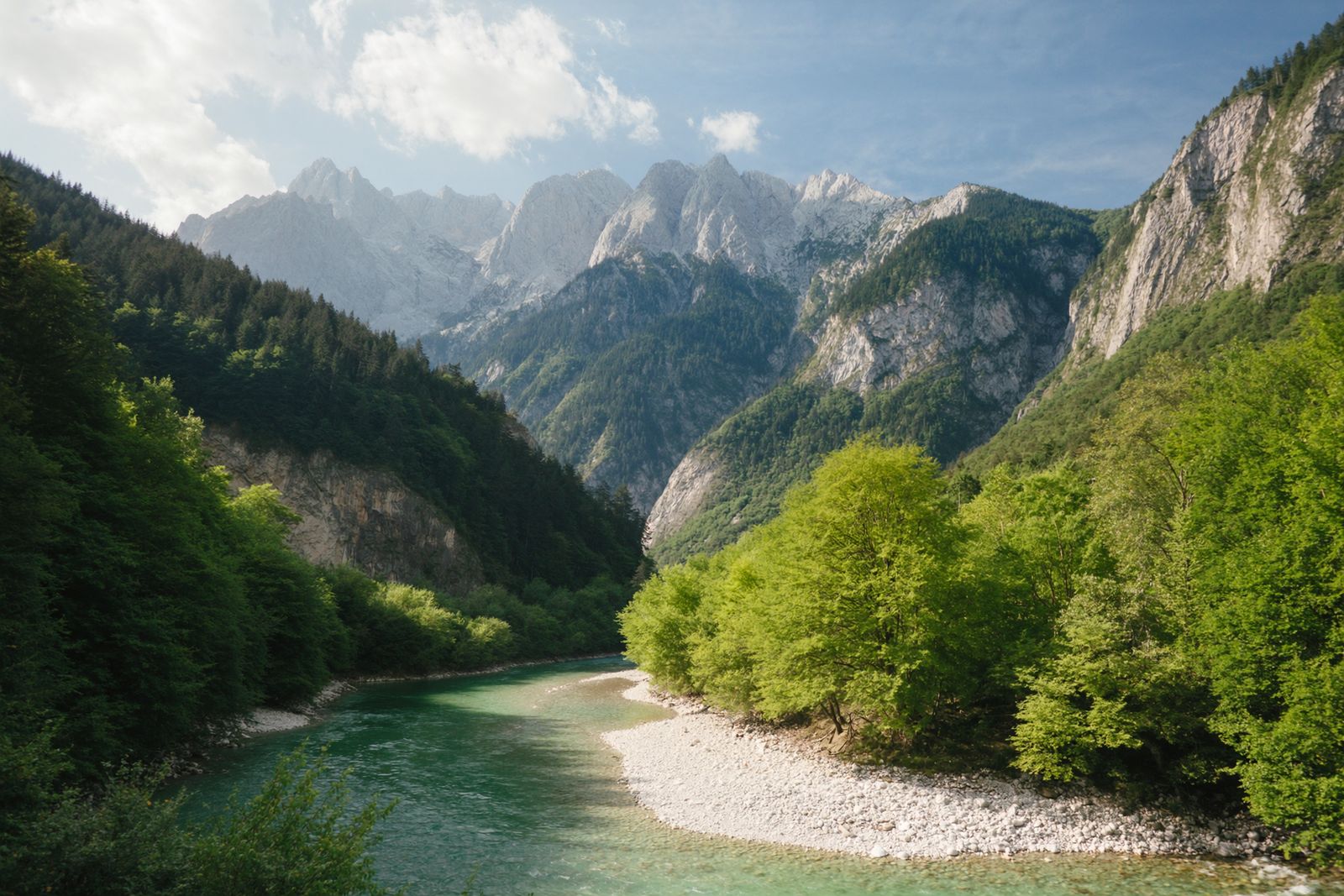
The Albanian Alps
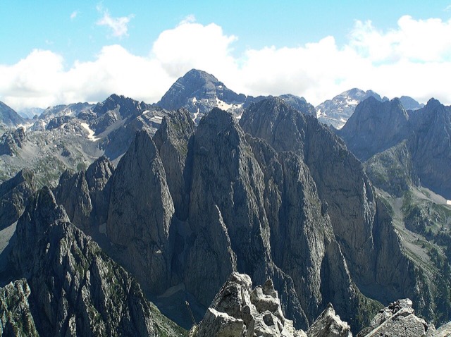
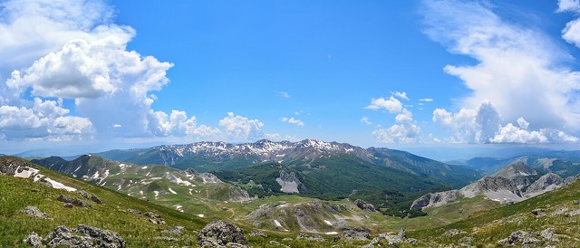
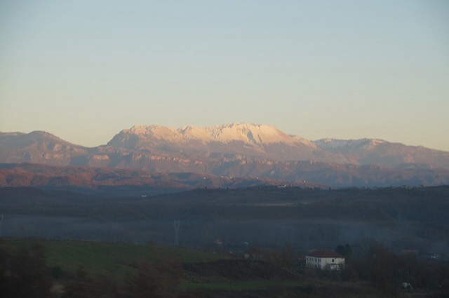
The limestone wall of the far north — locally the Accursed Mountains — shared with Montenegro and Kosovo.
كل مقاطعة، كل ساحل، كل قرن
عرض إرشادي
هل أنت جديد على ألبانيا؟ تفتتح كل صفحة بشرح مبسّط يمكن قراءته لطفل في العاشرة من عمره، قبل أن تبدأ التفاصيل.
عرض للمتخصصين
أنت تعرف الأساسيات بالفعل. مباشرةً إلى الجوهر، مع إخفاء الشروح المبسّطة. هذا هو الوضع الافتراضي.
Mountains, rivers, lakes, canyons, springs and the fifteen protected areas.
This section covers Albania's landscape: the mountains, rivers, lakes and national parks.
سلسلة جبلية · Bjeshkët e Nemuna
The limestone wall of the far north — locally the Accursed Mountains — shared with Montenegro and Kosovo.
جبل · Shkodër
At 2,694 m the highest peak entirely inside the Dinaric Alps, deep in the Albanian Alps.
جبل · Dibër
At 2,764 m the highest point in both Albania and North Macedonia, on the border ridge.
سلسلة جبلية · Vlorë
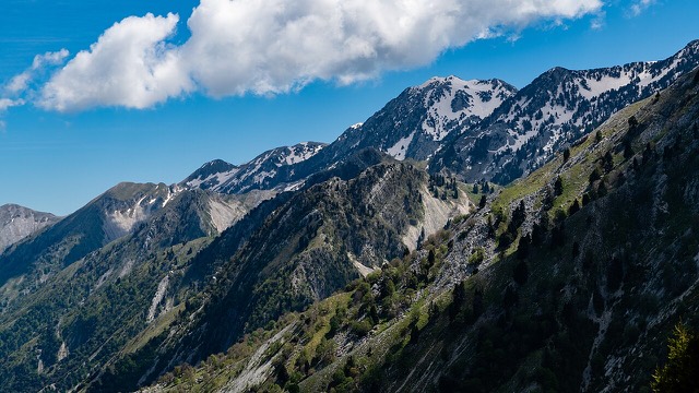
The coastal ridge that makes the Riviera: 2,000 m peaks rising directly out of the Ionian.
جبل · Berat
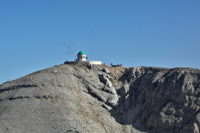
A 2,416 m massif above Berat, and the site of an annual Bektashi pilgrimage each August.
جبل · Vlorë
The 2,045 m high point of the Ceraunian ridge, directly above the Riviera coast.
جبل · Tiranë
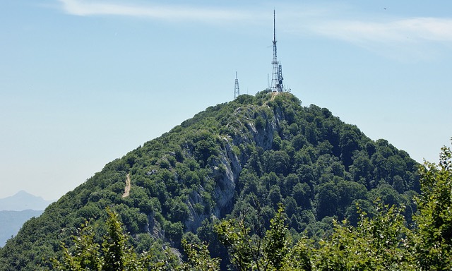
Tirana's own mountain: 1,613 m, a national park, and a 4.2 km cable car from the city edge.
منطقة محمية · Kukës
A broad U-shaped glacial valley of white gravel and beech forest under the Alps' highest peaks.
منطقة محمية · Shkodër
The glacial valley park at the heart of the Albanian Alps, merged into a wider protected complex in 2022.
منطقة محمية · Vlorë
A pine-forested pass at 1,027 m where the road drops from mountain forest to the Ionian in a few kilometres.
منطقة محمية · Vlorë
A wetland and forest park wrapped around the archaeological city, on the Vivari channel.
منطقة محمية · Vlorë
Albania's only marine national park: sea caves, wrecks and the country's clearest water.
منطقة محمية · Gjirokastër
Declared in March 2023, Europe's first national park built around a whole free-flowing river system.
منطقة محمية · Fier
Coastal pine forest, dunes and lagoon protecting the region's Dalmatian pelican colony.
منطقة محمية · Elbasan
Old-growth beech forest on the North Macedonian border, part of a UNESCO-listed primeval forest network.
منطقة محمية · Dibër
A cluster of small glacial lakes among black pine on the Lurë ridge, badly damaged by logging and slowly recovering.
منطقة محمية · Lezhë
Lagoons, pine and one of Albania's few surviving coastal alluvial forests, beside Shëngjin.
منطقة محمية · Korçë
The Albanian share of a three-country park around the Great and Small Prespa lakes.
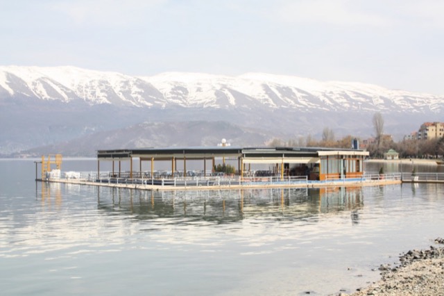
بحيرة · Shkodër
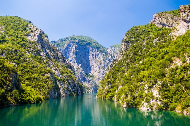
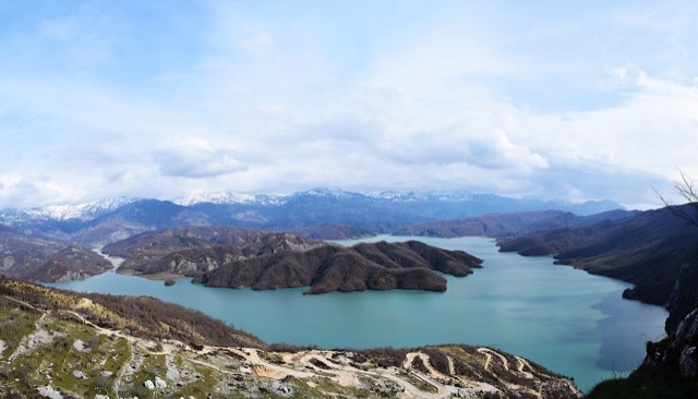
A 34 km reservoir in a gorge so narrow the ferry crossing is treated as a scenic journey in its own right.
بحيرة · Korçë
One of Europe's oldest and deepest lakes, UNESCO-listed and home to species found nowhere else.
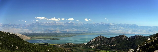
بحيرة · Shkodër
The largest lake in southern Europe, shared with Montenegro and a major bird wintering ground.
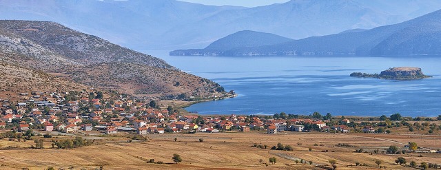
بحيرة · Korçë
A high tectonic lake where Albania, Greece and North Macedonia meet, draining underground into Ohrid.
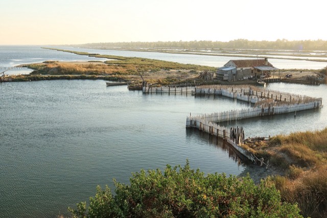
بحيرة · Fier
The largest lagoon in Albania and the western Balkans' main breeding site for the Dalmatian pelican.
بحيرة · Vlorë
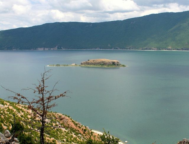
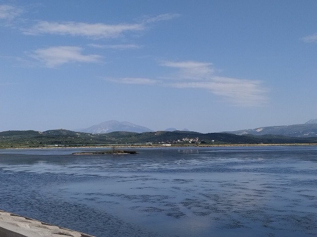
Albania's second-largest lagoon, with working saltpans and the island monastery of Zvërnec.
بحيرة · Tiranë
Tirana's drinking-water reservoir, ringed by limestone cliffs half an hour from the capital.
نهر · Gjirokastër
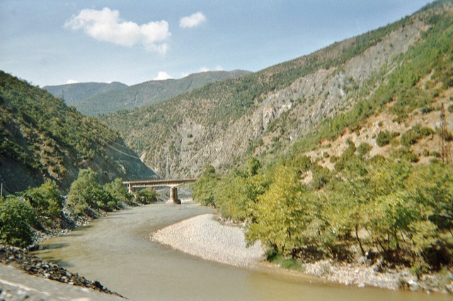
One of the last large free-flowing rivers in Europe, declared a Wild River National Park in March 2023.
نهر · Shkodër
A tributary of the Drin above Koman, reached by boat and often called Albania's Thailand.
نهر · Shkodër
Albania's longest river and the backbone of its electricity system, dammed three times in the north.
نهر · Elbasan
The river that splits Albania in two — the historic dividing line between Gheg and Tosk.
ينبوع · Vlorë
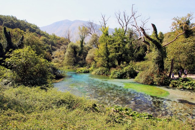
A karst spring of extraordinary clarity whose bottom has never been definitively reached.
وادٍ · Berat
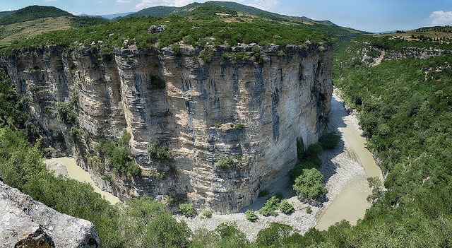
A 26 km limestone gorge up to 80 m deep, run by raft in spring and walked in late summer.
وادٍ · Vlorë
A narrow limestone slot that meets the sea at Gjipe beach — the Riviera's one true canyon.
ينبوع · Gjirokastër
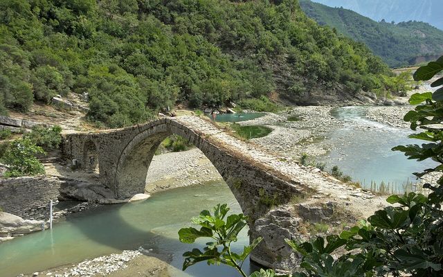
Sulphur pools beside the Ottoman Katiu bridge, at the mouth of the Lengarica canyon.
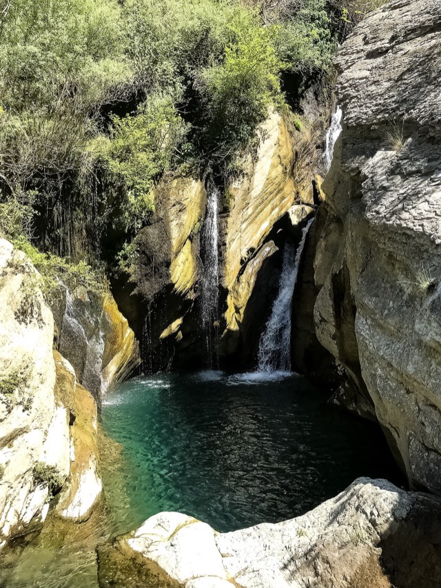
شلال · Shkodër
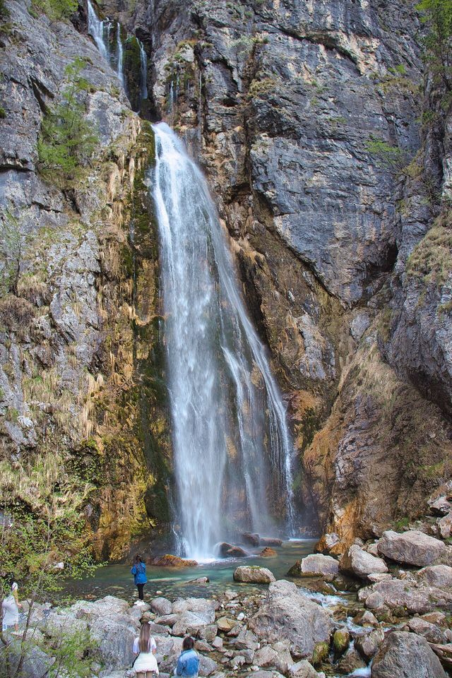
A 25–30 m fall in the Theth valley, and a declared natural monument.