Ville · Shkodër
Shkodër
The cultural capital of the north: a lake, a fortress, a bicycle city and a Catholic heartland.
Chaque comté, chaque côte, chaque siècle
Vue guidée
Nouveau en Albanie ? Chaque page s'ouvre sur une explication en langage clair, accessible à un enfant de dix ans, avant d'entrer dans le détail.
Vue expert
Vous connaissez déjà les bases. Directement à l'essentiel, les explications simples étant masquées. Il s'agit du réglage par défaut.
Liaison maritime · Shkodër County
A working transport link through a gorge that has become one of Albania's best-known journeys.
Enregistrer
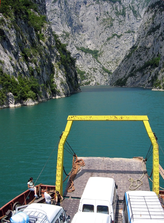
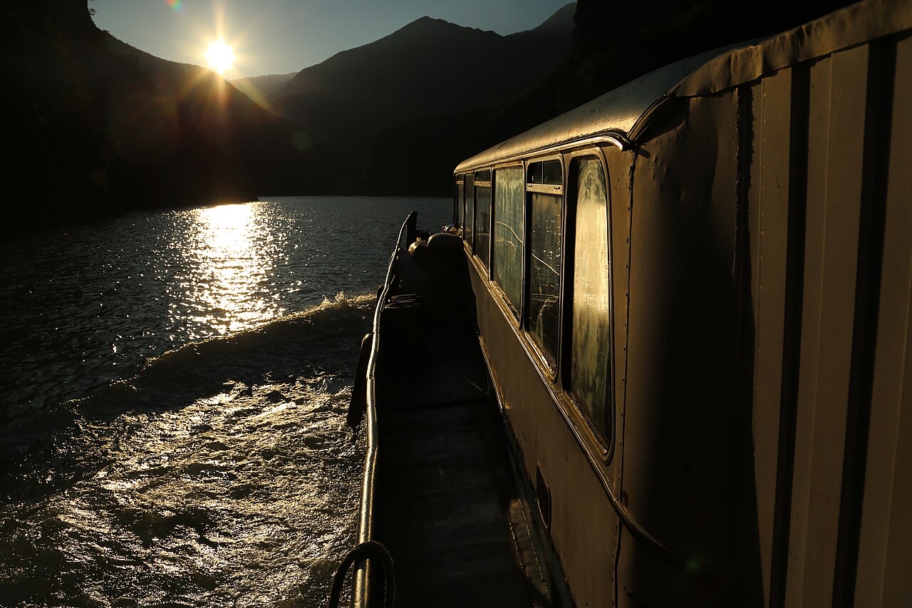
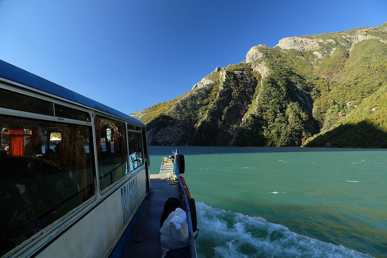
A small ferry sails along a narrow lake between very steep cliffs. It exists so that people in the mountains can travel, but visitors take it for the scenery on the way to Valbonë.
A small ferry sails along a narrow lake between very steep cliffs. It exists so that people in the mountains can travel, but visitors take it for the scenery on the way to Valbonë.
Ville · Shkodër
The cultural capital of the north: a lake, a fortress, a bicycle city and a Catholic heartland.
Bourg · Kukës
The road head for the Valbona valley, named after a guerrilla leader of the 1920s.
Village · Kukës
A wide white riverbed under 2,500 m peaks; the eastern end of the Theth trek.
Lac · Shkodër
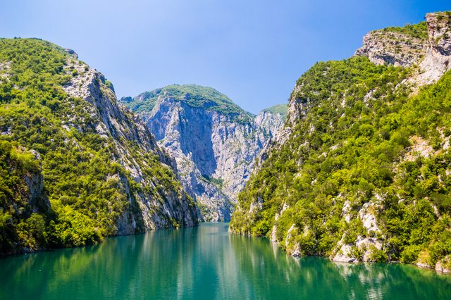
A 34 km reservoir in a gorge so narrow the ferry crossing is treated as a scenic journey in its own right.
Fleuve/Rivière · Shkodër
A tributary of the Drin above Koman, reached by boat and often called Albania's Thailand.
Site énergétique · Shkodër
The middle station of the Drin cascade, and the dam that created Lake Koman.
Guide
The Alps, the Koman ferry and the Shkodër lake country: the part of Albania least like the coast.
Guide
Albania's best-known walk: roughly 17 km over a 1,795 m pass, six to eight hours, June to October.
Fleuve/Rivière · Shkodër
Albania's longest river and the backbone of its electricity system, dammed three times in the north.
Une erreur sur cette page ? Les corrections sont les bienvenues et sont vérifiées par rapport au document source. Indiquer ce qui est erroné et, si possible, d'où provient le chiffre correct.