历史遗址 · Vlorë
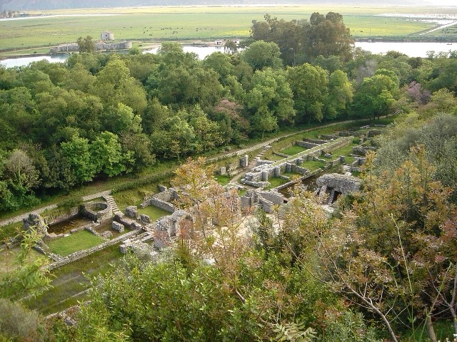
Butrint
A Greek, Roman, Byzantine, Venetian and Ottoman city layered on one wooded peninsula — Albania's first UNESCO site.
每个县、每段海岸、每个世纪
引导视图
初次了解阿尔巴尼亚?每个页面均以通俗易懂的说明开篇——即便是十岁的孩子也能读懂——随后再展开详细内容。
专业视图
您已掌握基础知识。直接进入正题,简明解释默认隐藏。此为默认模式。
渡轮航线 · Vlorë County
The busiest sea crossing into southern Albania, and the usual day-trip link with Greece.
保存
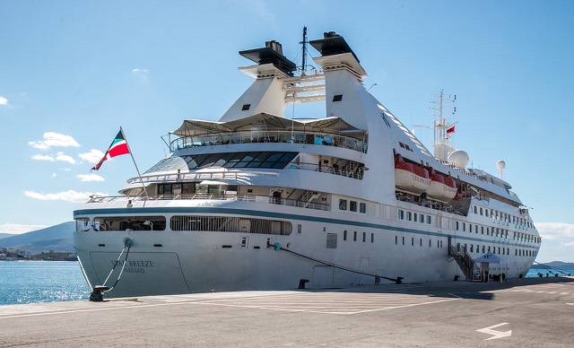
Boats cross between Sarandë and the Greek island of Corfu several times a day in summer. The fast boat takes about half an hour. You need your passport, because it is an international border crossing.
Boats cross between Sarandë and the Greek island of Corfu several times a day in summer. The fast boat takes about half an hour. You need your passport, because it is an international border crossing.
历史遗址 · Vlorë
A Greek, Roman, Byzantine, Venetian and Ottoman city layered on one wooded peninsula — Albania's first UNESCO site.
城市 · Vlorë
The Ionian resort town facing Corfu, and the arrival point for most visitors to southern Albania.
城镇 · Vlorë
Four small islands and very clear shallow water; the most photographed and most crowded stretch of the Albanian coast.
港口 · Vlorë
A small passenger port whose Corfu crossings are the busiest sea route into southern Albania.
指南
One main airport, four ferry corridors, and four land borders that all behave differently.
比较
Neighbouring Ionian coasts with very different levels of development, price and predictability.
本页内容有误? 欢迎提交更正意见,所有意见均会与原始记录核对。请告知错误所在,如能提供正确数据的出处,请一并注明。