史跡 · Vlorë
Butrint
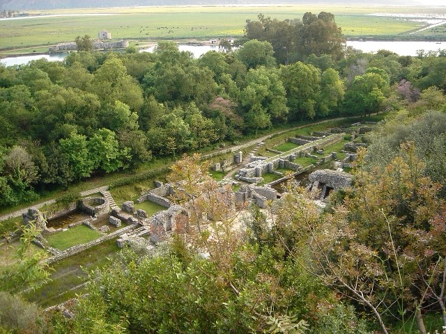
A Greek, Roman, Byzantine, Venetian and Ottoman city layered on one wooded peninsula — Albania's first UNESCO site.
すべての県、すべての海岸、すべての世紀
ガイドビュー
アルバニアを初めて知る方へ。各ページは、詳細に入る前に、10歳の子どもにも読み聞かせられる平易な説明から始まります。
エキスパートビュー
基本知識はすでにお持ちの方向け。平易な説明を非表示にし、内容を直接表示します。これがデフォルトです。
フェリー航路 · Vlorë County
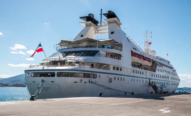
The busiest sea crossing into southern Albania, and the usual day-trip link with Greece.
保存
Boats cross between Sarandë and the Greek island of Corfu several times a day in summer. The fast boat takes about half an hour. You need your passport, because it is an international border crossing.
Boats cross between Sarandë and the Greek island of Corfu several times a day in summer. The fast boat takes about half an hour. You need your passport, because it is an international border crossing.
史跡 · Vlorë
A Greek, Roman, Byzantine, Venetian and Ottoman city layered on one wooded peninsula — Albania's first UNESCO site.
都市 · Vlorë
The Ionian resort town facing Corfu, and the arrival point for most visitors to southern Albania.
町 · Vlorë
Four small islands and very clear shallow water; the most photographed and most crowded stretch of the Albanian coast.
港 · Vlorë
A small passenger port whose Corfu crossings are the busiest sea route into southern Albania.
ガイド
One main airport, four ferry corridors, and four land borders that all behave differently.
比較
Neighbouring Ionian coasts with very different levels of development, price and predictability.
このページに誤りがありますか? 修正は歓迎しており、原典記録と照合して確認します。何が誤っているか、また可能であれば正しい数値の出典をお知らせください。