保護区域 · Lezhë
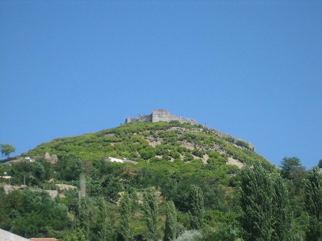
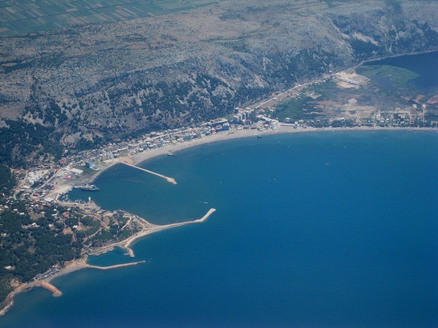
Kune-Vain Nature Reserve
Lagoons, pine and one of Albania's few surviving coastal alluvial forests, beside Shëngjin.
すべての県、すべての海岸、すべての世紀
ガイドビュー
アルバニアを初めて知る方へ。各ページは、詳細に入る前に、10歳の子どもにも読み聞かせられる平易な説明から始まります。
エキスパートビュー
基本知識はすでにお持ちの方向け。平易な説明を非表示にし、内容を直接表示します。これがデフォルトです。
県
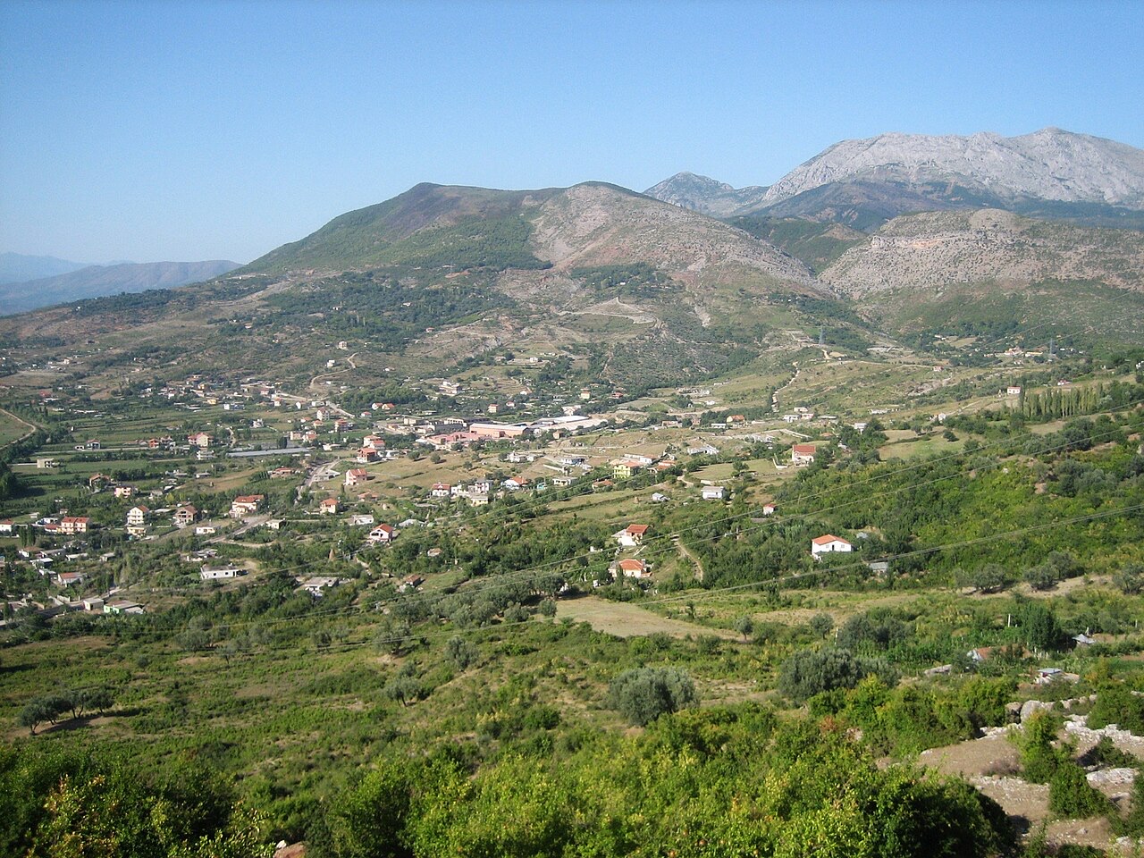
A short northern coast of lagoons and pine, backed by the copper country of Mirditë.
保存
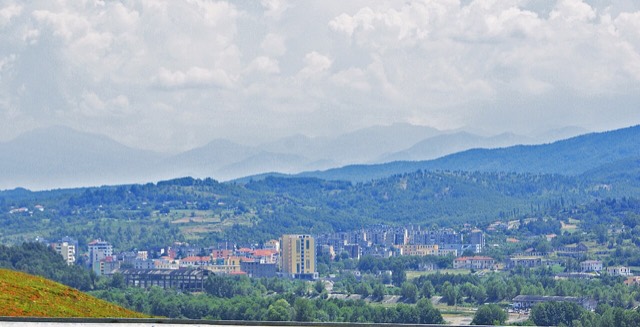
Lezhë County is on the northern coast. It has wide beaches, pine forests and lagoons where birds live. Inland there are hills where copper used to be mined. Skanderbeg, Albania's national hero, is buried in the town of Lezhë.
Lezhë County is on the northern coast. It has wide beaches, pine forests and lagoons where birds live. Inland there are hills where copper used to be mined. Skanderbeg, Albania's national hero, is buried in the town of Lezhë.
Lezhë County takes its name from the city of Lezhë, which serves as both the county seat and the seat of Lezhë Municipality. The city lies in the Republic of Albania and is considered one of the country's oldest continuously inhabited urban centres, with approximately 2,400 years of recorded history. The county falls within the Northern Region of Albania.
Lezhë Municipality, which sits within the county, covers an area of 509.1 square kilometres. It encompasses the administrative units of Balldren, Blinisht, Dajç, Kallmet, Kolsh, Shëngjin, Shënkoll, Ungrej, and Zejmen, with the city of Lezhë as the municipal seat. The municipality is bounded by the Plain of Zadrima to the north, the Pukë-Mirditë Highlands to the east, the mouth of the Mat River to the south, and the Albanian Adriatic Sea Coast to the west.
Ancient sources record the city as Lissós in Ancient Greek (Λισσός) and as Lissus or Lissum in Latin. The name also appears in numismatic material: the ethnicon ΛΙΣΣΙΤΑΝ (Lissitan) is found on coin inscriptions of the Hellenistic era. The name is considered a Greek toponym, derived from the Greek word lissós, meaning 'smooth, smooth rock, gruff'.
Stephanus of Byzantium records that the city was known both as Lissos and as Akrolissos (Ἀκρόλισσος). Strabo, however, treated Lissos and Akrolissos as distinct places, identifying Akrolissos as a fortress near Lissos rather than an alternative name for the same settlement.
The Greek name Lissós evolved into the modern Albanian form Lezhë — archaic form Lesh — through Albanian sound changes. In Turkish the town is known as Leş or Eşim, and in Italian as Alessio. Additional attested forms include Alise, Alexiensis, Eschenderari, and Mrtav.
Various swords of C and D type unearthed at Lezhë are attributed to a free exchange pattern between the local population and the centres of Mycenaean Greece during the early Mycenaean period, dated to approximately 1600–1450 BC. The earliest human constructions on the site have an Illyrian character and appear from the Late Bronze Age and Early Iron Age.
The fortified settlement was built on a mountain called Mal i Shëlbuemit, 413 metres in height, from at least the 8th century BC, positioned near the mouth of the Drin river. In antiquity the surrounding area was described as the territory of the Illyrii tribe, referred to in ancient sources as the 'Illyrians proper' (Ancient Greek: Ἰλλυριοί; Latin: Illyrii propriae dicti).
The earliest fortification walls of the proto-urban settlement are of typical Illyrian construction and are dated to the late 4th century BC. The transition from the Iron Age fortification of Acrolissus on the 413-metre Shëlbuem mountain to the proper Illyrian city of Lissus was continuous. The city was subsequently built on a lower hill, 172 metres in height, near the older fortification. It was surrounded by ramparts facing the low valley of the Drin river and the sea coast, serving to guard the route inland, defend against seaborne attack, and provide a secure anchorage for Illyrian ships.
Diodorus, writing in his Library (15.1, approximately 1st century BC), states that Dionysius of Syracuse founded 'a city called Lissos' in 385 BC as part of a strategy to secure Syracusan trade routes along the Adriatic. Diodorus describes it as a polis.
Some modern scholars interpreted this Syracusan colony as having been established at the site of present-day Lezhë, but more recent scholarship considers it more likely to have been established at Issa, near the island of Pharos, because Lissus was too distant from the events Diodorus describes. Issa is independently known from other evidence to be a Syracusan foundation. According to historian Pierre Cabanes, even if Diodorus' account is accepted as accurate, it is very likely that any colony at Lissos had a short life. No evidence aside from Diodorus' account connects the ancient site of Lezhë with Syracuse.
By the 3rd century BC, Lissus was one of the main cities of the Illyrian kingdom under the Ardiaean and Labeatan dynasties. The 228 BC peace treaty with Rome required the Illyrian queen Teuta not to sail south of Lissus at the mouth of the Drin river with more than two lembi — Illyrian light ships — and even those had to be unarmed.
While Rome was engaged against Celtic peoples of the Po Valley around 225–222 BC, the Illyrian commander Demetrius detached the Atintani tribe from their alliance with Rome and sailed south of Lissus, engaging in piracy in breach of the 228 BC treaty. In the summer of 221 BC, Demetrius and Scerdilaidas sailed south of Lissus with 90 lembi. After a failed assault on Pylos in the western Peloponnese, the two commanders separated: Scerdilaidas returned north with 40 ships, while Demetrius plundered the Cyclades with 50.
In 211 BC, Philip V of Macedon captured Acrolissus, the citadel of Lissus, whereupon Lissos surrendered to him and became the Macedonian outlet to the Adriatic Sea. The city was later recovered by the Illyrians. It was at Lissus that Perseus of Macedon negotiated an alliance against Rome with the Illyrian king Gentius, and it was from Lissus that Gentius organised his army against the Romans. Lissus maintained a large degree of municipal autonomy under both Macedonian and Illyrian rule, as evidenced by coins minted there; during the reign of Gentius in the first half of the 2nd century BC, Lissus minted coins for the Illyrian ruler.
Lissus was subjected to Rome following the Roman-Illyrian wars and the fall of Gentius' realm. In Roman times, the city was located in territory inhabited by the Labeatae, though ancient sources do not directly associate it with that tribe. Scholars consider that Lissus was founded in a Labeatan context but was organised on a Greek model as a polis by at least the time of Teuta's fall at the end of the 3rd century BC, dissociating from its ethnic context.
The city held strategic significance in the Roman Civil War: it was taken by Marc Antony and subsequently remained loyal to Caesar. Under Roman administration, Lissus was part of the province of Epirus Nova.
During the reign of Justinian I (527–565), the local fortress was possibly recorded as Alistion in the Synecdemus of Hierocles, though this identification is not certain. In the early 590s, Lissus was captured by Slavic populations; Byzantine control was re-established during the early 9th century.
Albanian lord Vladislav Jonima of the Jonima family was acknowledged by the Pope as ruler of a territory around Lezhë in 1319, holding the title of Count of Dioclea and of the seaside Albania. At the end of the 14th century, Albanian lord Dhimitër Jonima was lord of territory between Mat and Lezhë. In the Middle Ages, Lezhë — known in Italian as Alessio — changed hands repeatedly before the Venetians took possession of it in 1386.
Because Lezhë was under Venetian control, it was selected in 1444 by Gjergj Kastrioti Skanderbeg as a neutral location for a convention of Albanian nobles and lords aimed at organising a common defence against the Ottomans. This assembly is known as the League of Lezhë. Skanderbeg died and was buried in the cathedral of Lezhë, which was dedicated to Saint Nicholas and was later converted into the Selimie Mosque. In 1478, Lezhë fell to Ottoman forces during the siege of Shkodra, except for a brief return to Venetian control from 1501 to 1506.
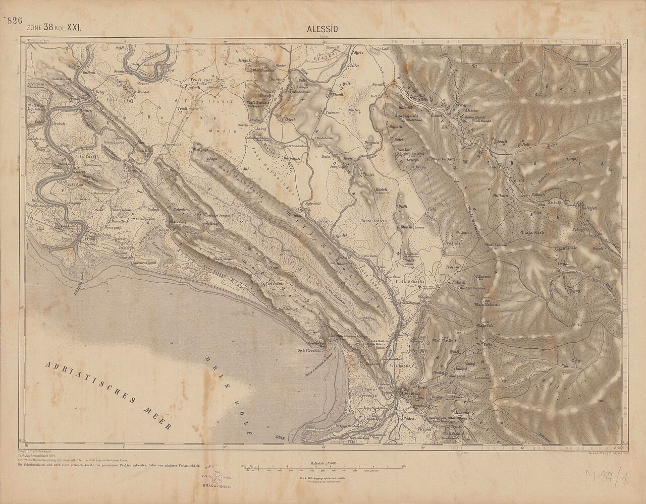
Lezhë Municipality covers 509.1 square kilometres and spans several distinct geographical zones: the Plain of Zadrima to the north, the Pukë-Mirditë Highlands to the east, the mouth of the Mat River to the south, and the Albanian Adriatic Sea Coast to the west. The city's proximity to the port of Shëngjin and its position on the national road connecting the Montenegrin border to the north with Tirana to the south are noted as factors in its commercial and industrial development.
Under the Köppen climate classification, Lezhë falls within the periphery of the hot-summer Mediterranean climate zone, designated Csa. The average annual temperature is 14.6 °C (58.3 °F).
According to the 2023 census, the population of Lezhë Municipality stands at 51,354, of whom 14,687 reside in the city proper.
From 2004, excavations around the ancient Acropolis of Lissos and the Skanderbeg Memorial have uncovered Hellenistic, Roman, and Early Byzantine buildings, tombs, and other archaeological material. These findings reflect the city's successive occupations across more than two millennia.
The association football club KS Besëlidhja Lezhë represents the city in football. Although primarily focused on football and basketball, the club also participates in sports including wrestling and beach volleyball.
保護区域 · Lezhë
Lagoons, pine and one of Albania's few surviving coastal alluvial forests, beside Shëngjin.
ビーチ · Lezhë
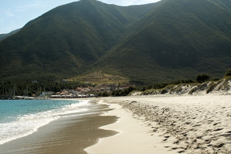
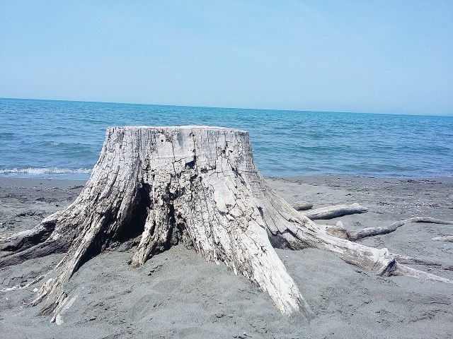
The main northern resort beach, with the Kune-Vain pine and lagoon reserve alongside.
町 · Lezhë
A northern beach resort and small commercial port backed by the Kune-Vain pine lagoons.
町 · Lezhë
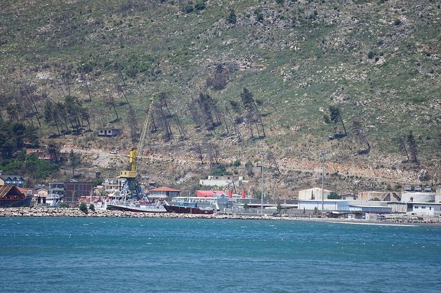
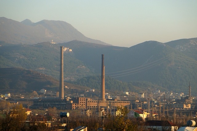
An industrial town and the site of the Saint Anthony pilgrimage church at Shëngjin i Vogël.
このページに誤りがありますか? 修正は歓迎しており、原典記録と照合して確認します。何が誤っているか、また可能であれば正しい数値の出典をお知らせください。