Schutzgebiet · Dibër
Lurë-Dejë Mountain National Park
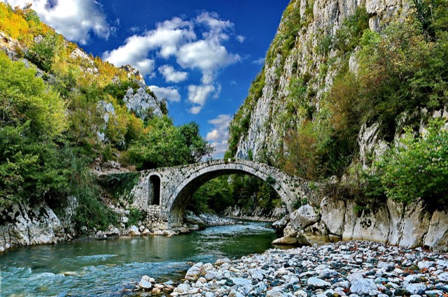
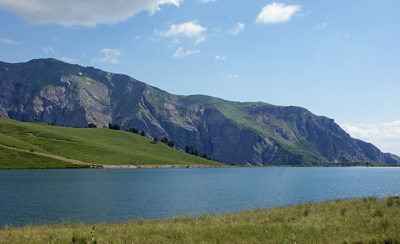
A cluster of small glacial lakes among black pine on the Lurë ridge, badly damaged by logging and slowly recovering.
Jeder Kreis, jede Küste, jedes Jahrhundert
Geführte Ansicht
Neu in Albanien? Jede Seite beginnt mit einer einfachen Erklärung, die auch ein Zehnjähriger verstehen würde – bevor es ins Detail geht.
Expertenansicht
Sie kennen die Grundlagen bereits. Direkt zur Substanz, ohne die vereinfachten Erklärungen. Dies ist die Standardeinstellung.
Landkreis
Albania's mountain interior on the North Macedonian border, containing Mount Korab.
Speichern
Dibër County is high in the mountains next to North Macedonia. Albania's tallest mountain, Korab, is here. There are hot springs at Peshkopi and old chrome mines around Bulqizë.
Dibër County is high in the mountains next to North Macedonia. Albania's tallest mountain, Korab, is here. There are hot springs at Peshkopi and old chrome mines around Bulqizë.
Dibër County (Albanian: Qarku i Dibrës) is one of the 12 counties of the Republic of Albania. It covers a surface area of 2,586 square kilometres (998 sq mi), making it the sixth largest county by area in Albania and the second largest within the Northern Region. Its capital is Peshkopi. The county lies between approximately latitude 42° N and longitude 20° E, situated in the interior of Albania in the south and southeast of the Northern Region.
The county borders six Albanian counties: Kukës to the north and northeast, Lezhë to the northwest, Durrës to the east, Tirana to the southwest, and Elbasan to the southeast. It also shares an international border with North Macedonia to the west. Internally, Dibër County is divided into four municipalities — Bulqizë, Dibër, Klos, and Mat — which are further subdivided into a total of 290 towns and villages.
Human activity in the territory that now constitutes Dibër County can be traced back to the Neolithic period. The region was later inhabited by the ancient Illyrian tribe known as the Penestae, who are considered the first people to leave lasting archaeological traces across the area.
Physical evidence of successive Bronze Age occupations has been identified at several sites within the county: Early Bronze Age settlements at Manasdren, Middle Bronze Age remains at Çetush, and Late Bronze Age material at Pesjakë, among others. These sites indicate continuous habitation and cultural development across distinct prehistoric phases.
During the Middle Ages, Dibër formed part of the Principality of Kastrioti, ruled by the Kastrioti royal family under Gjon Kastrioti. Following Gjon Kastrioti's death in 1437, the eastern portion of the region was annexed by the Ottoman Empire and became the seat of the Sanjak of Dibra.
The comprising territories were subsequently associated with Gjon Kastrioti's son, Gjergj Kastriot Skanderbeg, who reconquered his father's lands and united Albanian forces in 1444. During the fifteenth century, through the period of the Albanian wars against Ottoman expansion, the Dibër region functioned as a frontier zone between the Ottomans and the League of Lezhë.
In the nineteenth century, the Congress of Dibër took place in the region and declared the Albanian language an official language within the Ottoman Empire. This event marked a significant moment in the development of Albanian national and linguistic identity under Ottoman administration.
Following the Balkan Wars and the collapse of the Ottoman Empire, the great powers determined the borders of the Balkan states at the Conference of London. The Dibër Valley was divided: its western portion was assigned to Albania, while the eastern portion went to the Kingdom of Serbia, a territory that today forms part of North Macedonia.
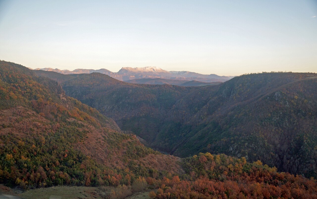
The topography of Dibër County is dominated by mountainous and high terrain. Elevations within the county range from approximately 380 metres to 2,700 metres above sea level. The mountainous area accounts for 56.3% of the county's territory, with plains and hills making up the remaining 43.7%.
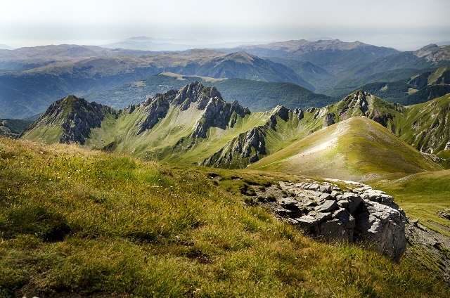
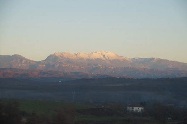
Three major mountain ranges define the county's landscape. The Korab mountains lie in the east, containing Mali i Gramës and Korab, the latter standing at 2,764 metres (9,068 ft) — the highest peak both in the county and in Albania as a whole. The Lura mountains are also located in the east. The Skanderbeg mountains run along the west, separating the Central Mountain Range from the Western Lowlands. Dejë mountain, rising to 2,245 metres (7,365 ft), stands in the centre of the county.
The landscape was shaped significantly by prehistoric glaciers, which produced a varied topography that includes valleys, canyons, gorges, and glacial lakes. The county is described as water-rich, with a dense river network, a substantial aquifer system, and significant karst underground watercourses.
The Mat river, one of the most important waterways in the county, has its source in Martanesh. From there it flows westward through deep gorges and canyons before turning northwest through the towns of Klos and Burrel.
The Black Drin is the other principal river. It flows out from Lake Ohrid, passing through Peshkopi and Maqellara before joining the White Drin near Kukës to form the Drin river. The broader Drin river system thus has its origins partly within or adjacent to the county's territory.
Dibër County spans four distinct climatic types under the Köppen climate classification: oceanic, continental, Mediterranean, and subarctic. The overall character of the climate, given the county's inland position, is Mediterranean with continental influences.
Mean monthly temperatures range from as low as −20 °C (−4 °F) in January to between 25 °C and 30 °C (77–86 °F) in July. Mean annual precipitation varies between 600 millimetres (24 inches) and 1,000 millimetres (39 inches), depending on the geographic subregion and its prevailing climate type.
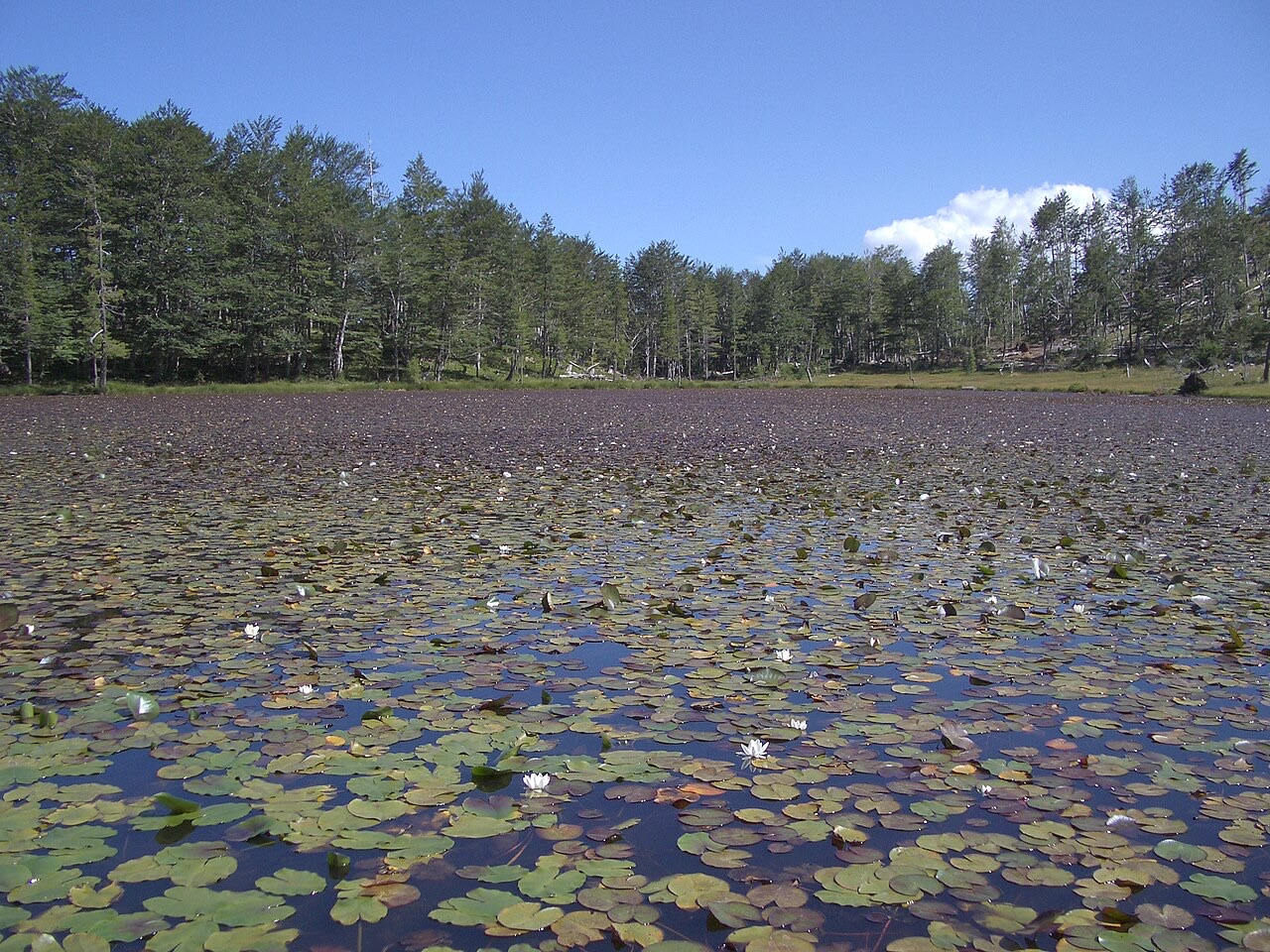
Phytogeographically, Dibër County falls within two terrestrial ecoregions of the Palearctic temperate broadleaf and mixed forest biome: the Dinaric Mountains mixed forests and the Balkan mixed forests. The county's forests contain diverse species of both deciduous and coniferous trees, as well as a wide range of wildflowers.
The county contains two national parks — Lurë National Park and Zall-Gjoçaj National Park — and one nature park, Korab-Koritnik Nature Park. The eastern boundary of the county forms part of the European Green Belt, a corridor that serves as a refuge for endangered mammal and plant species. The county is noted for significant biological diversity.
According to the 2023 census, Dibër County had a total population of approximately 107,178 people, with a population density of 41 inhabitants per square kilometre — among the lowest of any Albanian county. Remote mountainous areas are described as almost unpopulated. The largest cities are Peshkopi, Burrel, Bulqizë, and Klos.
The 2023 census recorded the county as 81.5% Albanian, 1.61% Bulgarian, 0.20% Macedonian, and 0.48% Roma or Balkan Egyptian; 15.93% did not specify an ethnicity. Religiously, the county shifted between 2011 and 2023: Sunni Muslims declined from 81.4% to 62.7%, Bektashi Muslims increased from 3.8% to 5.9%, Catholic Christians fell from 2.0% to 0.1%, and those identifying as believers without denomination rose from 4.4% to 9.0%. The category of 'Not stated/other' increased from 1.4% to 15.9%.
The county's economy has historically rested on agriculture and shepherding. The collapse of communism and subsequent lack of employment drove significant emigration abroad. Dibër County is ranked the second least economically developed county in Albania, with only Kukës County ranked lower. Despite possessing natural resources including chromium, sulfur, and marble, the county remains predominantly agricultural. Tourism is identified as a sector with significant potential given the county's natural and cultural heritage, though agriculture remains the dominant economic activity.
Der wärmste Monat ist August (mittleres tägliches Maximum 28°C), der kälteste ist January (mittleres tägliches Minimum -2°C), und der regenreichste ist December (153 mm). Der mittlere jährliche Gesamtniederschlag beträgt 1,268 mm.
| Monat | Maximum | Minimum | Niederschlag | Regentage | Sonne/Tag |
|---|---|---|---|---|---|
| January | 6°C | -2°C | 133 mm | 12 | 6.7 h |
| February | 7°C | -1°C | 116 mm | 11 | 7.7 h |
| March | 11°C | 2°C | 121 mm | 13 | 9.2 h |
| April | 16°C | 6°C | 121 mm | 15 | 10.3 h |
| May | 21°C | 11°C | 108 mm | 15 | 11.7 h |
| June | 25°C | 15°C | 67 mm | 11 | 13.4 h |
| July | 28°C | 17°C | 50 mm | 8 | 13.6 h |
| August | 28°C | 18°C | 48 mm | 7 | 12.7 h |
| September | 23°C | 14°C | 97 mm | 10 | 10.4 h |
| October | 18°C | 9°C | 106 mm | 10 | 8.8 h |
| November | 13°C | 5°C | 148 mm | 12 | 7.0 h |
| December | 8°C | -0°C | 153 mm | 13 | 6.2 h |
Quelle: ERA5 reanalysis via Open-Meteo, 1994–2023 · „Maximum" und „Minimum" sind das mittlere tägliche Temperaturmaximum bzw. -minimum. „Regentage" zählt Tage mit mindestens 1 mm Niederschlag.
Schutzgebiet · Dibër
A cluster of small glacial lakes among black pine on the Lurë ridge, badly damaged by logging and slowly recovering.
Kleinstadt · Dibër
The seat of Mat municipality in the central highlands, near the Mat river dams.
Berg · Dibër
At 2,764 m the highest point in both Albania and North Macedonia, on the border ridge.
Kleinstadt · Dibër
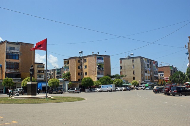
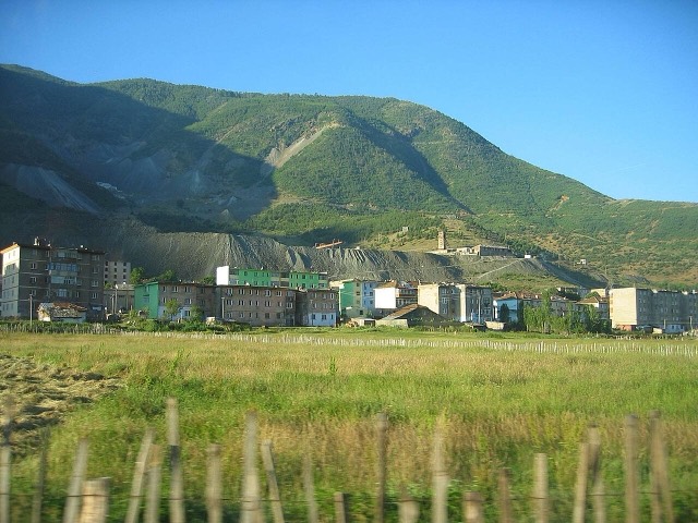
A chromium mining town — Albania is among the world's larger chrome producers.
Kleinstadt · Dibër
The seat of Dibër County, known for thermal springs and the high pastures below Mount Korab.
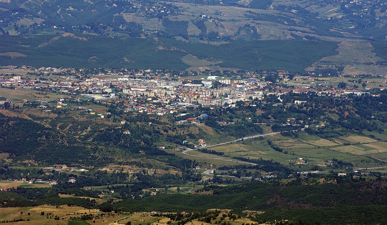
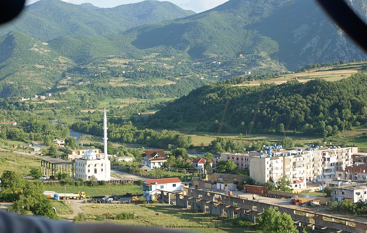
Stadt · Elbasan
A central industrial city inside an Ottoman fortress wall, on the old Via Egnatia.
Stadt · Korçë
The highland city of serenades, the first Albanian-language school, and the country's oldest brewery.
Landkreis
The capital county: roughly a third of the country's people, its jobs and its universities.
Berg · Dibër
At 2,764 m the highest point in both Albania and North Macedonia, on the border ridge.
Kleinstadt · Lezhë
Where the Albanian princes swore their 1444 league, and where Skanderbeg is buried.
Kleinstadt · Kukës
A town rebuilt above a reservoir in the 1970s, and the northern end of the Nation's Road.
Industrie
Chromium above all — Albania has long been among the larger world producers — plus copper and nickel.
Etwas falsch auf dieser Seite? Korrekturen sind willkommen und werden gegen den Quelldatensatz geprüft. Bitte mitteilen, was falsch ist und, wenn möglich, woher die richtige Angabe stammt.