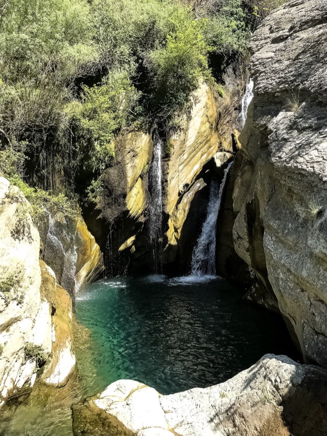
शहर · Berat
Berat
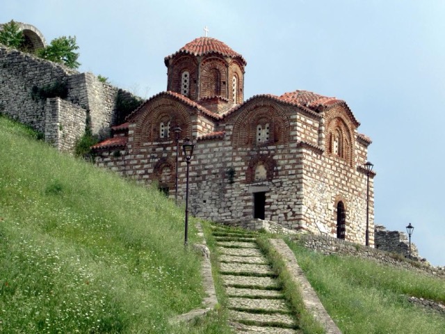
The 'city of a thousand windows': an Ottoman hill town under a still-inhabited castle, UNESCO-listed since 2008.
हर काउंटी, हर तट, हर सदी
निर्देशित दृश्य
Albania में नए हैं? हर पृष्ठ एक सरल-भाषा स्पष्टीकरण के साथ खुलता है जिसे आप किसी दस वर्षीय बच्चे को पढ़ कर सुना सकते हैं, इससे पहले कि विस्तृत जानकारी शुरू हो।
विशेषज्ञ दृश्य
आप मूल बातें पहले से जानते हैं। सीधे मूल विषय पर, सरल स्पष्टीकरण छिपे हुए। यह डिफ़ॉल्ट है।
घाटी · Berat County
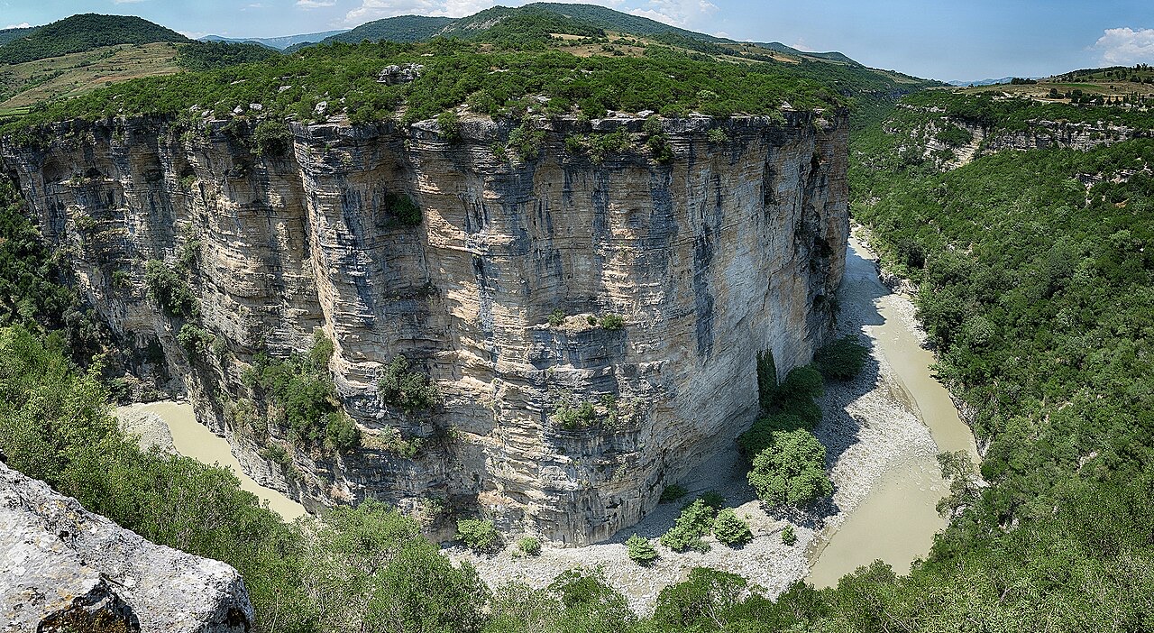
A 26 km limestone gorge up to 80 m deep, run by raft in spring and walked in late summer.
सहेजें
The Osum Canyon is a long, narrow gorge with walls up to 80 metres high. In spring there is enough water to go rafting; by late summer people walk through parts of it.
The Osum Canyon is a long, narrow gorge with walls up to 80 metres high. In spring there is enough water to go rafting; by late summer people walk through parts of it.
The Osum Canyon (Albanian: Kanioni i Osumit) is a river gorge in southern Albania, situated near the town of Çorovodë. The River Osum, which also passes through the town of Berat, is the waterway that carved and continues to flow through the canyon.
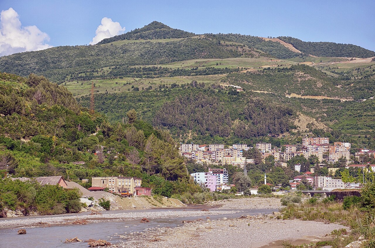
The gorge extends for 26 kilometres (16 miles) and sits at an altitude of 450 metres. It contains six narrow sections, with widths ranging from as little as 1.5 metres at the riverbed level to as much as 35 metres further up the canyon walls.
The Osum Canyon is thought to have been formed approximately 2 to 3 million years ago by water erosion, though this estimate is not stated with certainty. The prevailing view is that the river originally flowed underground, and that the rock above it gradually disappeared over time, producing the open gorge visible today.
Erosion has continued to shape the canyon walls, creating heavily pockmarked surfaces with small caves and cave systems. The gorge contains many underground passages and unexplored caves along its full length. Outflows from various surrounding villages drain into the gorge along both sides of the river, passing through what is described as a rock chain — a feature noted as one of the rarest found in Albanian gorges.
The canyon's navigability changes significantly with the seasons. In spring, snowmelt raises the water level sufficiently to allow the entire length of the gorge to be explored by boat. The rapids within the gorge are rated Class II, meaning prior white-water experience is not required to navigate them.
By the end of summer, lower water levels render the full length of the gorge unnavigable by boat. At that time, visitors can instead walk sections of the canyon and swim in pools and streams along its course. Spring is also identified as the period when the gorge's waterfalls are most active.
The edges of the gorge support an ecosystem that, according to the available description, maintains greenery on both sides year-round. Mediterranean plant species, including heath and briar, grow along the canyon walls alongside a broader range of flora and fauna described as rich.
The unusual local conditions that sustain this vegetation have not been specified in detail in the source material, but the year-round character of the greenery is presented as ecologically distinctive for the area.
Several rock formations within the gorge have acquired informal names based on their shapes or character. Among those recorded are the Cathedral, the Eye, and the Demon's Door. These names reflect local descriptive tradition rather than any official designation.
The canyon walls' pockmarked surface, produced by erosion, creates the varied and irregular textures from which such formations are distinguished. No systematic survey or inventory of named formations is referenced in the available source material.
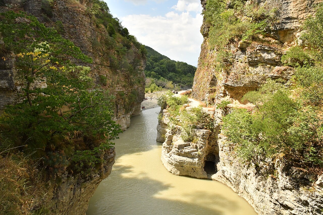
The gorge has accumulated a body of local oral tradition. Inhabitants of the area recount legends connected to the canyon, among them those associated with Mulliri i Babait, Vrima e Nuses, and a figure named Saint Abaz Ali. The content of these legends is not detailed in the source material.
The canyon is also noted in relation to tourism in Albania more broadly and is situated in proximity to Tomorr National Park, though no administrative relationship between the gorge and the national park is specified in the available text.
सबसे गर्म महीना है August (औसत दैनिक अधिकतम 31°C), सबसे ठंडा है January (औसत दैनिक न्यूनतम 1°C), और सबसे अधिक वर्षा वाला है December (126 mm). कुल वार्षिक वर्षा का औसत है 1,023 mm.
| माह | अधिकतम | न्यूनतम | वर्षा | वर्षा के दिन | धूप/दिन |
|---|---|---|---|---|---|
| January | 9°C | 1°C | 104 mm | 11 | 6.7 h |
| February | 11°C | 2°C | 94 mm | 10 | 7.7 h |
| March | 14°C | 4°C | 103 mm | 12 | 9.1 h |
| April | 18°C | 8°C | 96 mm | 14 | 10.4 h |
| May | 23°C | 12°C | 82 mm | 12 | 11.7 h |
| June | 27°C | 16°C | 54 mm | 9 | 13.5 h |
| July | 30°C | 19°C | 32 mm | 6 | 13.7 h |
| August | 31°C | 19°C | 31 mm | 6 | 12.7 h |
| September | 25°C | 15°C | 81 mm | 9 | 10.5 h |
| October | 21°C | 11°C | 95 mm | 8 | 9.0 h |
| November | 15°C | 7°C | 124 mm | 12 | 6.9 h |
| December | 10°C | 3°C | 126 mm | 12 | 6.2 h |
स्रोत: ERA5 reanalysis via Open-Meteo, 1994–2023 · "अधिकतम" और "न्यूनतम" क्रमशः औसत दैनिक अधिकतम और न्यूनतम वायु तापमान हैं। "वर्षा के दिन" उन दिनों की गणना करता है जिनमें कम से कम 1 मिमी वर्षण हुई हो।
शहर · Berat
The 'city of a thousand windows': an Ottoman hill town under a still-inhabited castle, UNESCO-listed since 2008.
ऐतिहासिक स्थल · Berat
A fortress people still live inside, holding some twenty churches and the Onufri icon museum.
पर्वत · Berat
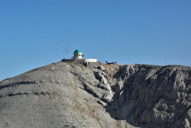
A 2,416 m massif above Berat, and the site of an annual Bektashi pilgrimage each August.
जलप्रपात · Berat
A cold spring-fed fall and pool in the Tomorr foothills near Berat.
इस पृष्ठ पर कुछ गलत है? सुधार स्वागतयोग्य हैं और स्रोत अभिलेख के विरुद्ध जाँचे जाते हैं। हमें बताएँ क्या गलत है और, यदि संभव हो, तो सही आँकड़ा कहाँ से आता है।