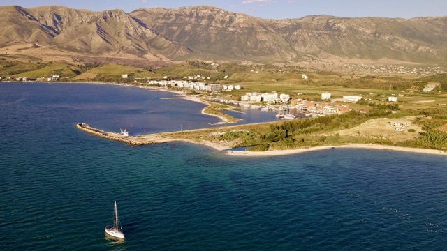
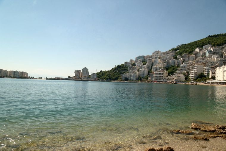
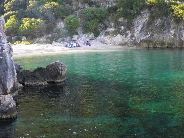
도시 · Vlorë
Vlorë
Where the Adriatic meets the Ionian, and where Albanian independence was declared in 1912.
모든 주, 모든 해안, 모든 세기
안내 보기
알바니아가 처음이신가요? 모든 페이지는 세부 내용이 시작되기 전에, 열 살짜리 아이도 이해할 수 있는 평이한 설명으로 시작됩니다.
전문가 보기
기본 내용은 이미 알고 계신가요? 간단한 설명은 숨기고 핵심 내용만 바로 확인하세요. 이것이 기본 설정입니다.
해변 · Vlorë County
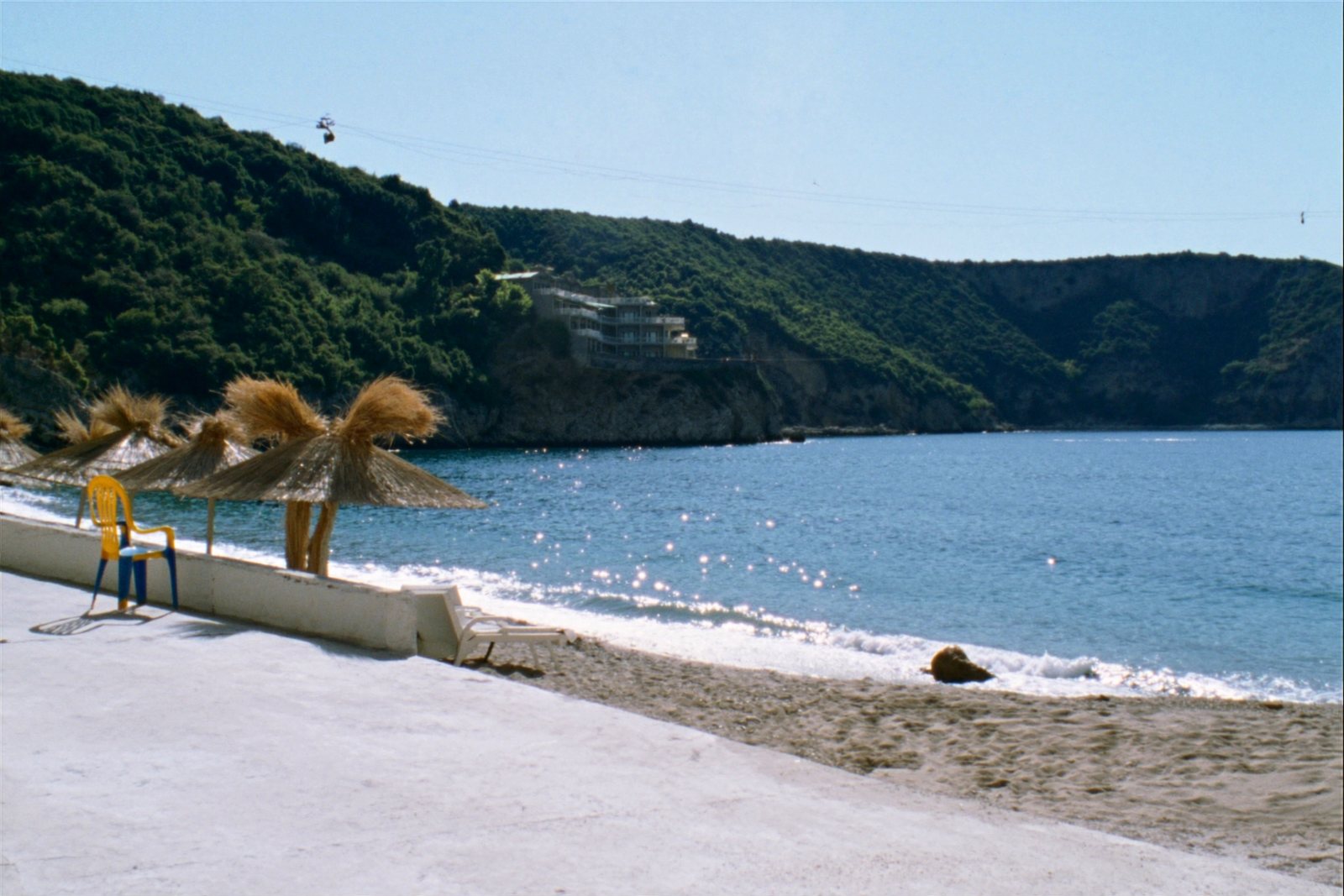
The sheltered eastern shore of the Bay of Vlorë, facing the Karaburun peninsula.
저장
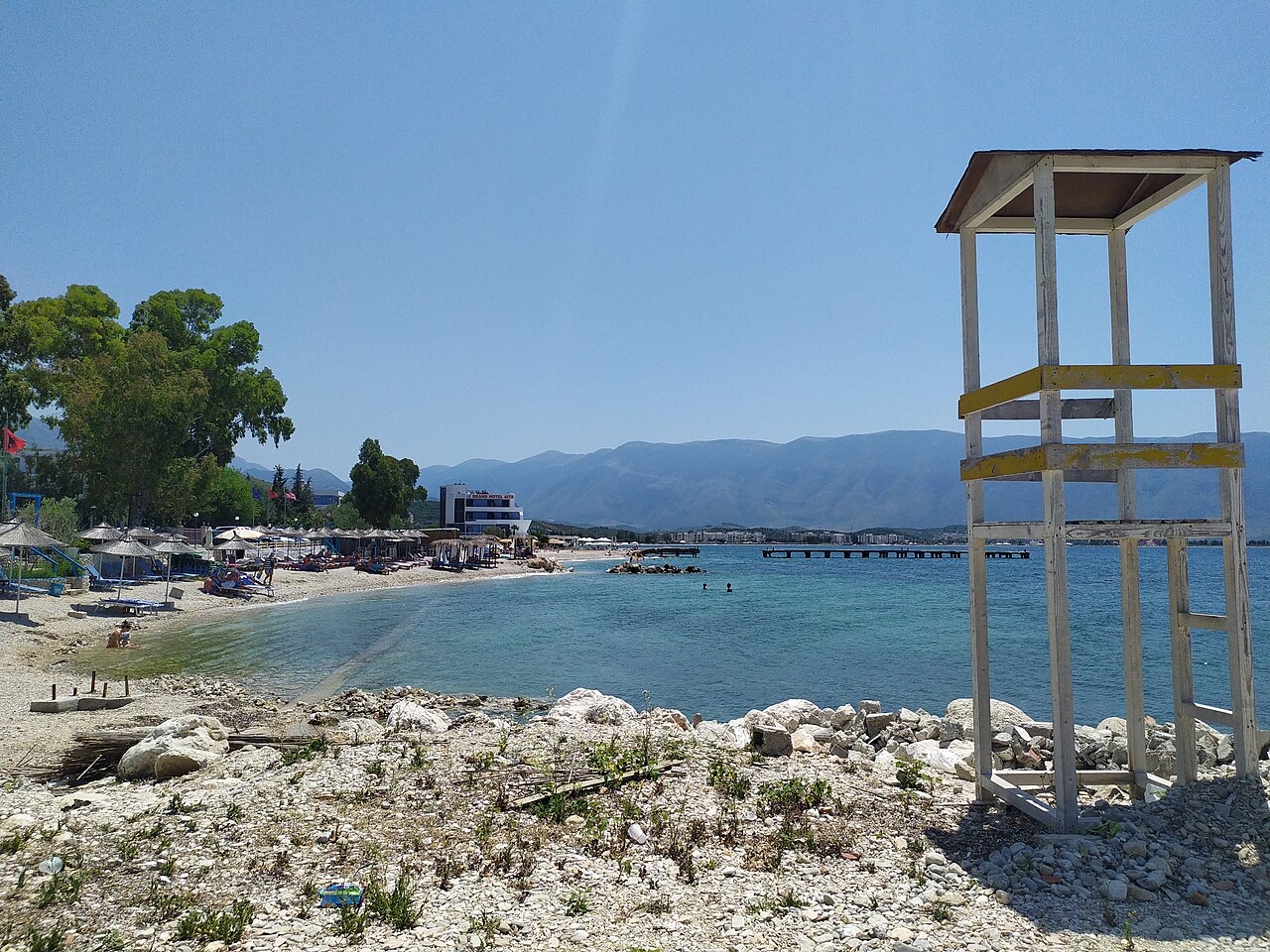
Radhimë is a pebble beach on the road south from Vlorë, looking across the bay to a big empty peninsula.
Radhimë is a pebble beach on the road south from Vlorë, looking across the bay to a big empty peninsula.
Radhimë (also spelled Radhima) is a village in the municipality of Orikum, Vlorë County, in southern Albania. It sits on the western slopes of the Llogara Mountain, on the coastal plain and hills along the Ionian Sea, south of the city of Vlorë. The village lies at an elevation of between 150 and 180 metres above sea level.
The traditional village territory covers approximately 20 square kilometres (2,000 hectares), with a maximum north–south length of 7.5 km and an east–west width of 4.5 km. The coastline runs for approximately 7.45 km, from Ura e Vrizit in the north to the mouth of the Izvor River in the south. Historically, the area was considered part of the Labëria region and was administered under the Kanina Vilayet and later the Sanjak of Vlorë.
Archaeological finds in the Radhimë area date back to the 3rd–2nd centuries BCE. The first recorded archaeological discovery took place during World War I, when construction works in the Mavro Nero area uncovered large ceramic blocks believed to have formed part of an ancient wall. These finds are now held in the Archaeological Museum of Vlorë and the National Museum in Tirana.
The earliest known appearance of the name 'Radhimë' on a map dates to 1118. Slavic toponyms such as Sello and Dremicë are also present in the area, attributed to later periods. Until the Ottoman period, the village population was predominantly Catholic and Orthodox. Local place names and family names are said to reflect a historical connection to Albanian migration to southern Italy, believed to have occurred after the death of Skanderbeg, though the article notes this is a belief rather than a documented certainty.
In 1956, a collective agricultural cooperative was established in Radhimë, which was subsequently merged with cooperatives in the neighbouring settlements of Tragjas and Dukat. Between 1968 and 1970, hillside terracing and deforestation took place in the area between Jonufër and Nisi, followed by the creation of the 'Rinia' agricultural enterprise.
Vineyards were planted across large areas that had previously been oak forest. This period also brought new settlers to the village, particularly from the Mesaplik area. By 1975, Radhimë had approximately 80 households; subsequent decades saw further expansion of residential areas.
Radhimë has a Mediterranean climate, characterised by mild winters and sunny, relatively cool summers. This climate pattern is consistent with the broader Ionian coastal zone of southern Albania.
The village is known for agricultural production, with citrus fruits, olives, and viticulture identified as its principal outputs. The presence of vineyards reflects both the natural conditions of the area and the deliberate replanting carried out during the cooperative period of the 1960s and 1970s.
Coastal tourism is also recorded as an economic activity at Radhimë, consistent with its position on the Ionian Sea with a coastline of nearly 7.5 km. The article does not provide figures for visitor numbers or tourism infrastructure.
Radhimë's coastline extends for approximately 7.45 km along the Ionian Sea, running from Ura e Vrizit to the mouth of the Izvor River. The coast forms part of the broader Vlorë Bay area on the Albanian Riviera in southern Albania.
The article identifies coastal tourism as one of the settlement's known activities but does not provide detailed description of beach facilities, water quality measurements, or access infrastructure. The village's position on the western slopes of the Llogara Mountain places the coastline at the foot of terrain that rises to between 150 and 180 metres above sea level in the settled area.
가장 더운 달은 August (일 최고 기온 평균 27°C), 가장 추운 달은 January (일 최저 기온 평균 10°C), 가장 강수량이 많은 달은 November (210 mm). 연평균 강수량은 1,174 mm. 해수 온도는 8월에 약 26°C.
| 월 | 최고 | 최저 | 강수량 | 강수일 | 일조 시간 | 해수 온도 |
|---|---|---|---|---|---|---|
| January | 12°C | 10°C | 146 mm | 14 | 7.5 h | 17°C |
| February | 13°C | 10°C | 123 mm | 12 | 8.4 h | 16°C |
| March | 14°C | 11°C | 105 mm | 11 | 10.0 h | 15°C |
| April | 16°C | 14°C | 67 mm | 9 | 11.1 h | 16°C |
| May | 20°C | 17°C | 42 mm | 6 | 12.4 h | 18°C |
| June | 24°C | 21°C | 22 mm | 4 | 13.7 h | 22°C |
| July | 26°C | 23°C | 12 mm | 2 | 13.8 h | 25°C |
| August | 27°C | 24°C | 24 mm | 3 | 13.0 h | 26°C |
| September | 24°C | 21°C | 91 mm | 8 | 10.8 h | 25°C |
| October | 21°C | 18°C | 143 mm | 10 | 9.4 h | 24°C |
| November | 17°C | 15°C | 210 mm | 14 | 7.4 h | 20°C |
| December | 14°C | 12°C | 190 mm | 14 | 7.0 h | 18°C |
출처: ERA5 reanalysis via Open-Meteo, 1994–2023 · "최고" 및 "최저"는 일 최고·최저 기온의 평균값입니다. "강수일"은 강수량이 1mm 이상인 날의 수입니다.
도시 · Vlorë
Where the Adriatic meets the Ionian, and where Albanian independence was declared in 1912.
제목 · Vlorë
Albania's largest uninhabited peninsula, closed to the public for most of the 20th century and now a marine park.
이 페이지에 오류가 있습니까? 수정 제안을 환영하며, 출처 기록과 대조하여 검토합니다. 잘못된 내용과 가능하다면 올바른 수치의 출처를 알려 주십시오.