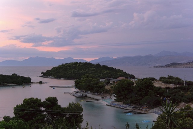
历史遗址
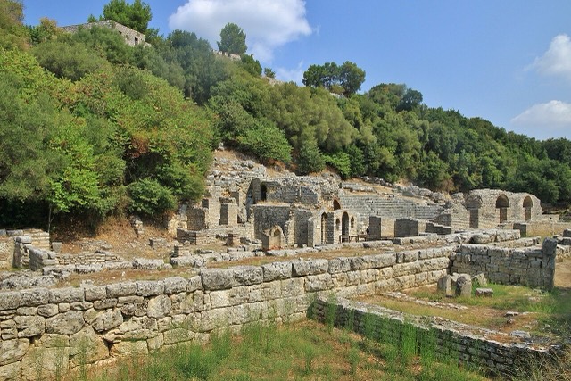
Butrint
A Greek, Roman, Byzantine, Venetian and Ottoman city layered on one wooded peninsula — Albania's first UNESCO site.
🧭 引导视图
初次了解阿尔巴尼亚?每个页面均以通俗易懂的说明开篇——即便是十岁的孩子也能读懂——随后再展开详细内容。
⚡ 专业视图
您已掌握基础知识。直接进入正题,简明解释默认隐藏。此为默认模式。
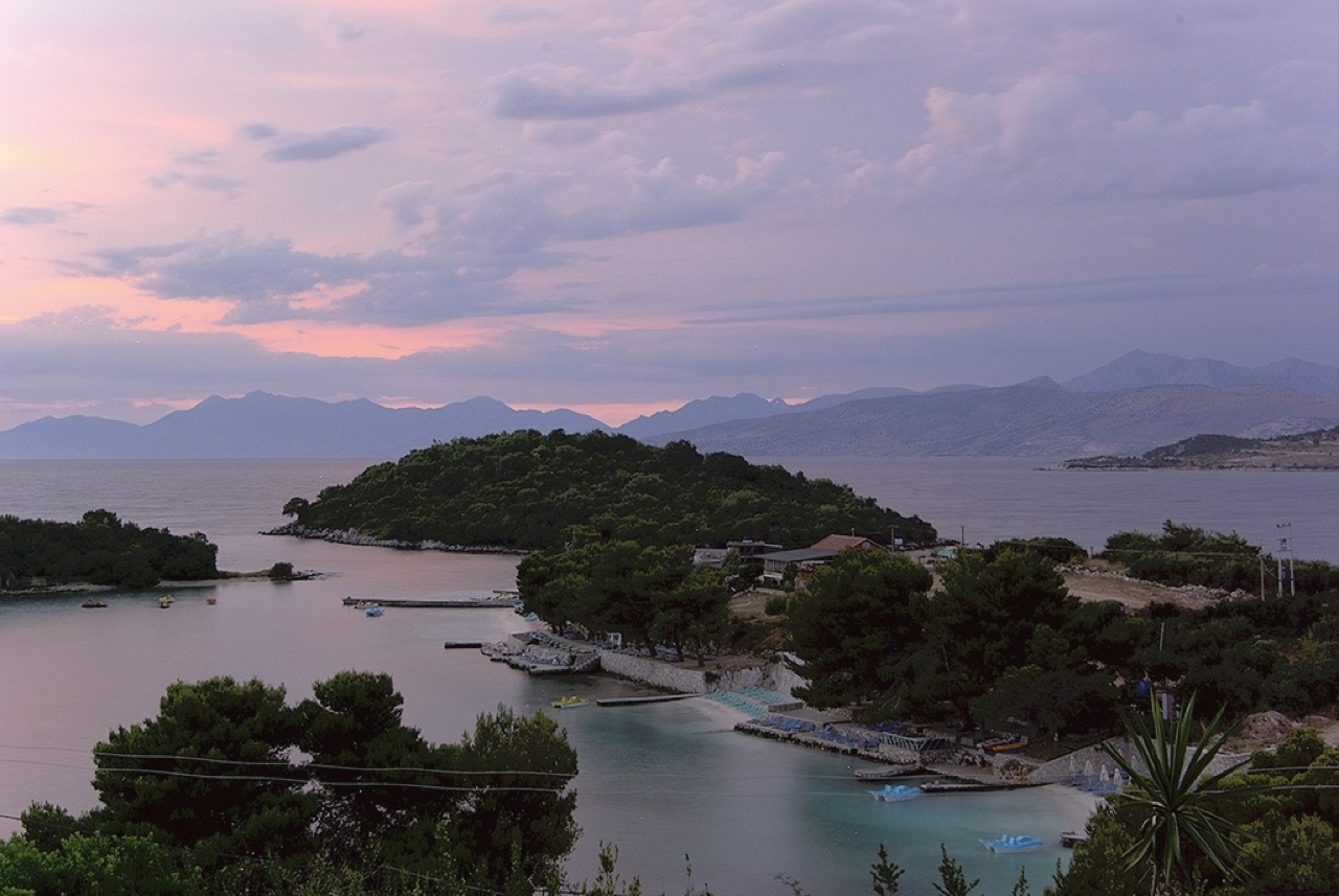
Ksamil has several small beaches with very clear, shallow water and four little islands just offshore. In summer it is one of the busiest places on the whole Albanian coast.
Ksamil has several small beaches with very clear, shallow water and four little islands just offshore. In summer it is one of the busiest places on the whole Albanian coast.
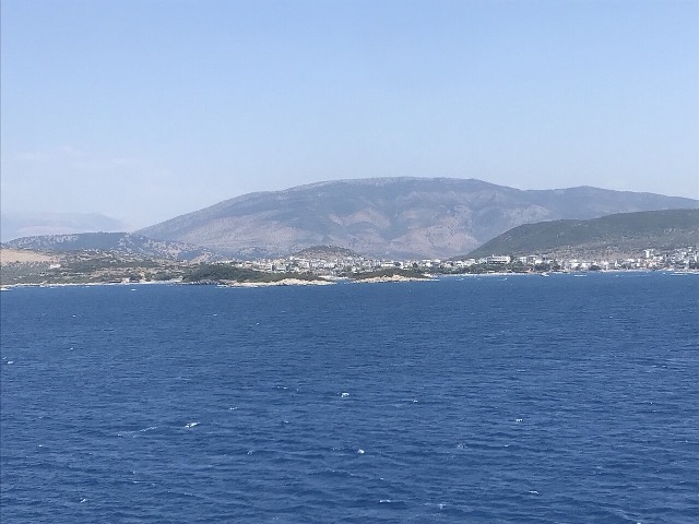
Ksamil is a coastal village in the riviera of southern Albania, situated south of Sarandë on the road to Butrint. It falls within the boundaries of Butrint National Park and sits on Albania's Ionian coast.
Ksamil was formerly a municipality in its own right. Following Albania's 2015 local government reform, it became a subdivision of the municipality of Sarandë. The municipal unit comprises two villages: Ksamil and Manastir.
The coastal village of Ksamil was established during the communist period, founded in 1966. Its planned origin distinguishes it from older settlements in the region, and its layout reflects the organised village construction programmes carried out under Albania's communist government.
Despite its relatively recent founding, the surrounding area — including the adjacent national park and nearby archaeological site of Butrint — gives the village a historically layered context that predates it considerably.
The population of Ksamil has been recorded inconsistently across different sources. The 2023 census recorded 2,731 residents, while Civil Office records from 2018 placed the figure at 9,137 — a substantial discrepancy that the available data does not fully explain.
Official estimates from 2014 put the population of the commune of Ksamil at 9,215. Of these, 4,207 were identified as Greeks, seven as Aromanians, and the remainder as Albanians.
Earlier demographic data from 1992 recorded the village as having a mixed population: 1,125 Muslim Albanians, 520 Greeks, and 210 Orthodox Albanians — reflecting the ethnic and religious diversity present in the area at that time.
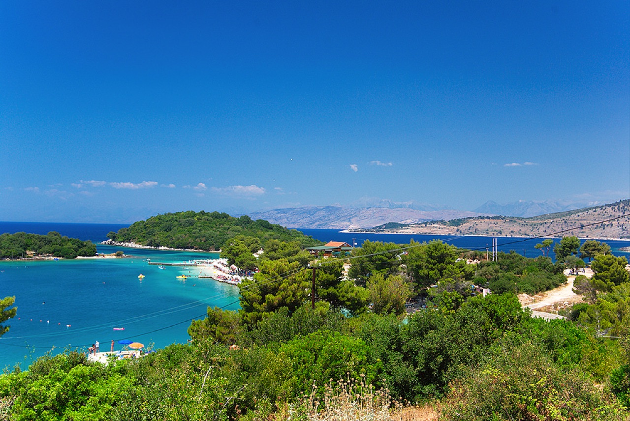
The principal natural attraction in the area is the Ksamil Islands, a group of small islands located close to the village. The beaches are noted for their white sand, which has been compared in character to Caribbean shorelines.
Ksamil Beach and Albania's broader Ionian coast to the north were included in The Guardian's list of 20 of the best bargain beach holidays for 2013, a recognition that contributed to increased international awareness of the area.
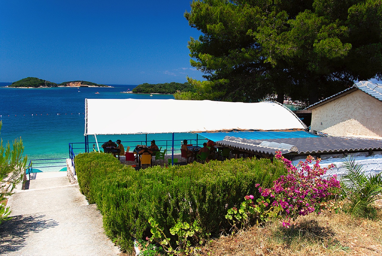
Ksamil is described as one of the most frequented coastal resorts in Albania, drawing both domestic and international visitors. In recent years, Albanians from Kosovo and other Albanian-speaking areas have been among the prominent visitor groups, alongside a growing number of international tourists.
The increase in visitor numbers has had tangible consequences: new hotel facilities have been constructed to accommodate demand, and the cost of services and accommodation has risen as a result. The area's tourism profile has therefore shifted from a budget destination toward one with higher price points, even as it retains its reputation for value relative to other Mediterranean destinations.
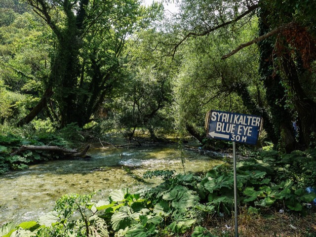
Beyond the beaches and islands, visitors to the Ksamil area have access to several other sites. These include the Blue Eye (Syri i Kaltër) in Muzinë, a natural water spring, as well as Butrint National Park and the nearby town of Sarandë.
A number of smaller beaches lie to the north of Ksamil along the coast. The village's position adjacent to Butrint National Park also places it within reach of the UNESCO-listed archaeological site of Butrint, which is managed as part of the wider national park.
三十年气候平均值,地点: Ksamil Beaches, 由本 Atlas 依据 1994—2023 年 ERA5 逐日再分析数据计算得出。以上为长期平均值,并非预报;任何单一年份均可能存在较大偏差。
最热月份为 August (日最高气温均值 31°C), 最冷月份为 January (日最低气温均值 6°C), 降水最多的月份为 November (205 mm). 年均降雨总量为 1,204 mm. 海水温度在八月达到峰值,约为 26°C.
| 月份 | 最高气温 | 最低气温 | 降雨量 | 降雨天数 | 日照时长 | 海水温度 |
|---|---|---|---|---|---|---|
| January | 12°C | 6°C | 139 mm | 12 | 7.2 h | 16°C |
| February | 13°C | 6°C | 120 mm | 11 | 8.0 h | 16°C |
| March | 15°C | 7°C | 109 mm | 11 | 9.6 h | 16°C |
| April | 18°C | 10°C | 75 mm | 10 | 10.9 h | 16°C |
| May | 23°C | 15°C | 51 mm | 7 | 12.1 h | 19°C |
| June | 27°C | 19°C | 27 mm | 4 | 13.6 h | 24°C |
| July | 30°C | 22°C | 13 mm | 2 | 13.8 h | 26°C |
| August | 31°C | 22°C | 21 mm | 3 | 12.9 h | 26°C |
| September | 26°C | 19°C | 110 mm | 8 | 10.6 h | 26°C |
| October | 22°C | 15°C | 146 mm | 10 | 9.1 h | 25°C |
| November | 17°C | 11°C | 205 mm | 13 | 7.1 h | 21°C |
| December | 13°C | 7°C | 187 mm | 13 | 6.5 h | 18°C |
数据来源: ERA5 reanalysis via Open-Meteo, 1994–2023 · "最高气温"与"最低气温"分别为日最高和日最低气温均值。"降雨天数"统计降水量不低于 1 毫米的天数。 获取 JSON 数据
以下均为本 Atlas 中真实存在的关联关系——与本地点邻近的地点,以及本条目实际所属的主题类别。本栏目不包含任何通用推荐内容。
A Greek, Roman, Byzantine, Venetian and Ottoman city layered on one wooded peninsula — Albania's first UNESCO site.
The Ionian resort town facing Corfu, and the arrival point for most visitors to southern Albania.
A small cove between Sarandë and Ksamil, reached by a rough track.
Rock shelves and a small pebble strip where the water is unusually still.
Four small islands and very clear shallow water; the most photographed and most crowded stretch of the Albanian coast.
Sand in the north and centre, pebble in the south — the single most useful distinction on the coast.
The clearest water in Albania against the most liveable town on the Riviera.
上文标注"深度解析"的章节,系本 Atlas 依据以下来源文章全文阅读后撰写而成 (1,791 字符). 以上内容为基于该文献的 AI 辅助研究成果,并已与本页精选事实核对。如涉及重要事项,请务必核对原始来源。
本页内容有误? 欢迎提交更正意见,所有意见均会与原始记录核对。请告知错误所在,如能提供正确数据的出处,请一并注明。