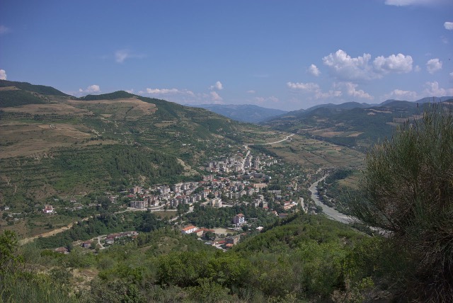
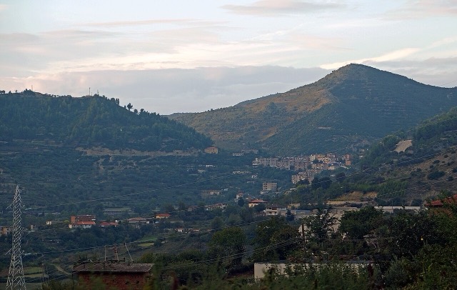
City · Berat
Berat
The 'city of a thousand windows': an Ottoman hill town under a still-inhabited castle, UNESCO-listed since 2008.
Every county, coast and century
Guided view
New to Albania? Every page opens with a plain-language explanation you could read to a ten-year-old, before the detail begins.
Expert view
You already know the basics. Straight to the substance, with the simple explanations hidden. This is the default.
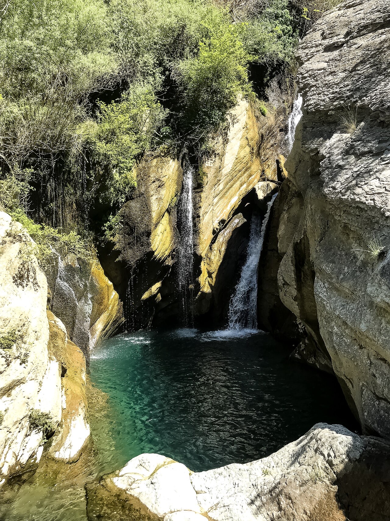
Waterfall · Berat County
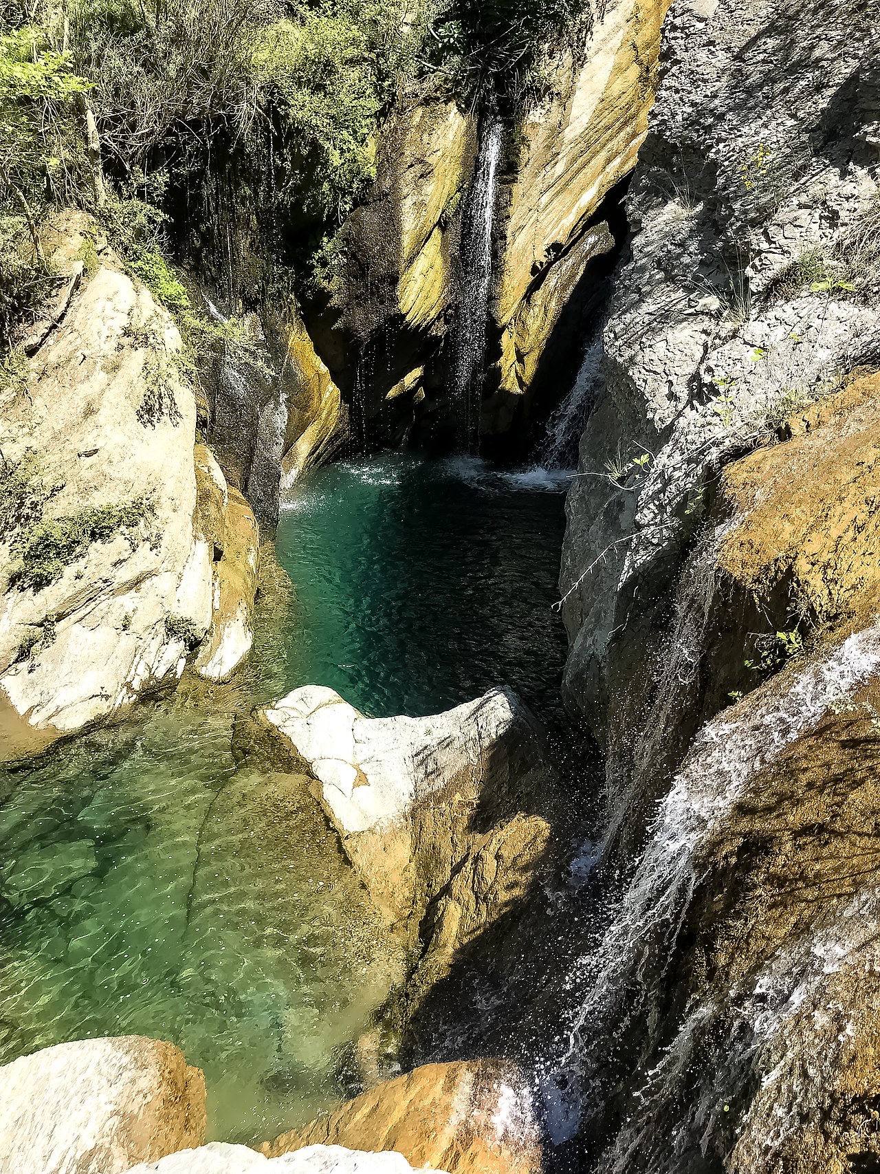
A cold spring-fed fall and pool in the Tomorr foothills near Berat.
Save
Bogovë is a waterfall near Berat where very cold spring water drops into a green pool.
Bogovë is a waterfall near Berat where very cold spring water drops into a green pool.
The warmest month is August (mean daily high 30°C), the coldest is January (mean daily low 1°C), and the wettest is December (123 mm). Total annual rainfall averages 1,016 mm.
| Month | High | Low | Rain | Wet days | Sun/day |
|---|---|---|---|---|---|
| January | 10°C | 1°C | 103 mm | 11 | 6.7 h |
| February | 11°C | 2°C | 93 mm | 10 | 7.6 h |
| March | 14°C | 4°C | 103 mm | 12 | 9.1 h |
| April | 18°C | 7°C | 94 mm | 14 | 10.4 h |
| May | 22°C | 11°C | 82 mm | 12 | 11.6 h |
| June | 27°C | 15°C | 54 mm | 9 | 13.4 h |
| July | 30°C | 18°C | 32 mm | 6 | 13.7 h |
| August | 30°C | 18°C | 32 mm | 6 | 12.7 h |
| September | 25°C | 14°C | 82 mm | 9 | 10.5 h |
| October | 21°C | 10°C | 96 mm | 8 | 8.9 h |
| November | 15°C | 6°C | 121 mm | 12 | 6.9 h |
| December | 11°C | 3°C | 123 mm | 12 | 6.2 h |
Source: ERA5 reanalysis via Open-Meteo, 1994–2023 · “High” and “Low” are mean daily maximum and minimum air temperature. “Wet days” counts days with at least 1 mm of precipitation.
City · Berat
The 'city of a thousand windows': an Ottoman hill town under a still-inhabited castle, UNESCO-listed since 2008.
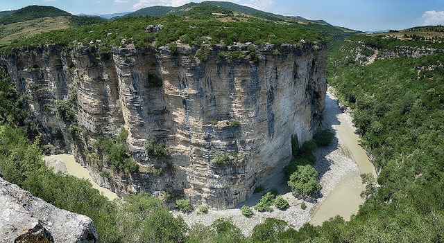
Canyon · Berat
A 26 km limestone gorge up to 80 m deep, run by raft in spring and walked in late summer.
Something wrong on this page? Corrections are welcome and are checked against the source record. Tell us what is wrong and, if you can, where the right figure comes from.