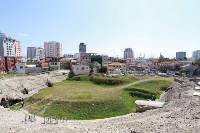
Città · Durrës
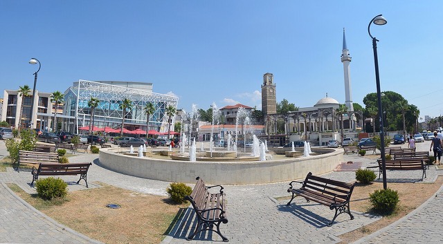
Durrës
Albania's principal port and its oldest continuously inhabited city, founded as Epidamnos in 627 BC.
Ogni contea, ogni costa, ogni secolo
Vista guidata
Non conosci l'Albania? Ogni pagina si apre con una spiegazione in linguaggio semplice, comprensibile anche a un bambino di dieci anni, prima di entrare nei dettagli.
Vista per esperti
Conosci già le basi. Direttamente alla sostanza, con le spiegazioni elementari nascoste. Questa è l'impostazione predefinita.
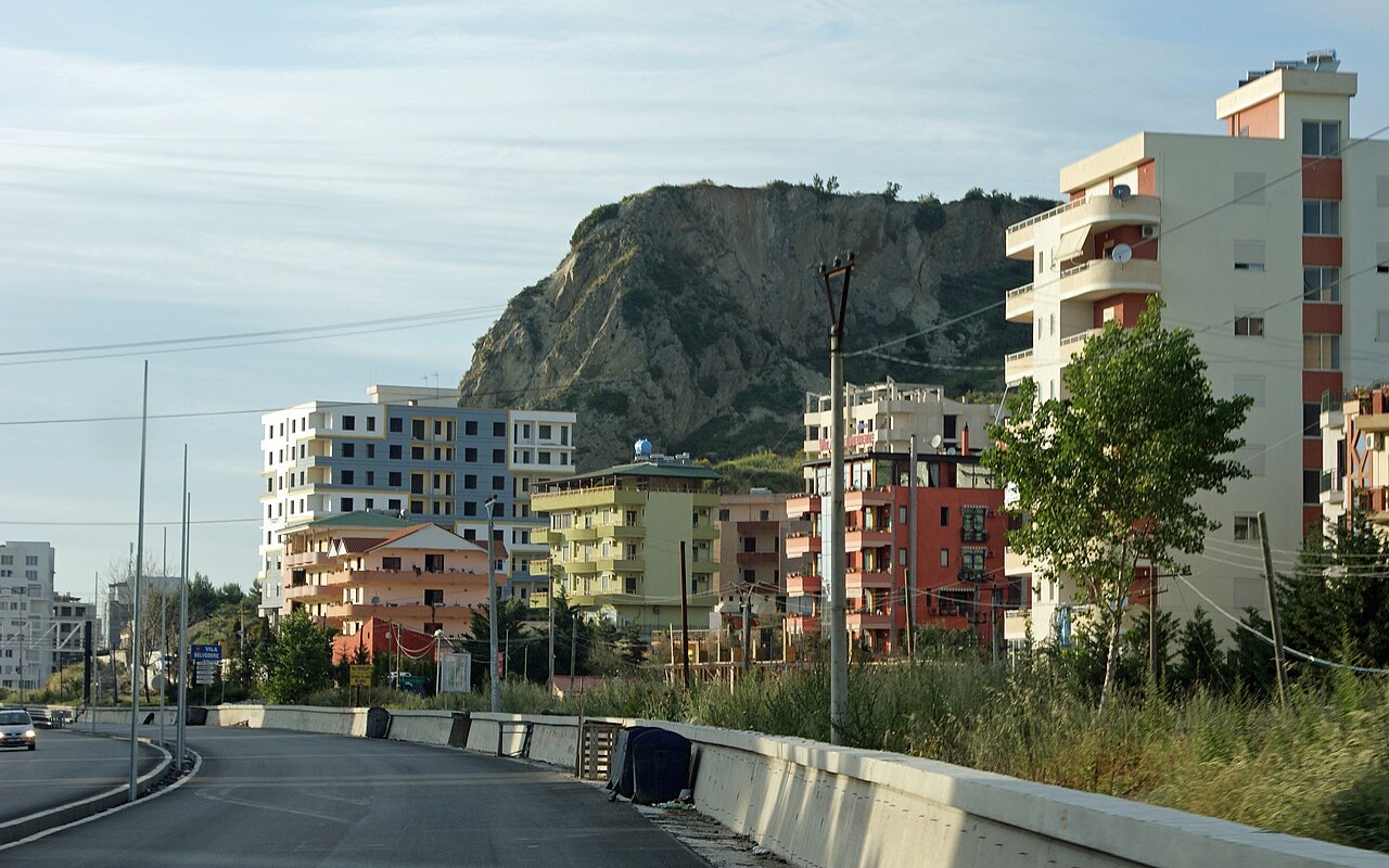
Villaggio · Tiranë County
The busiest stretch of the central sandy coast, immediately south of Durrës.
Salva
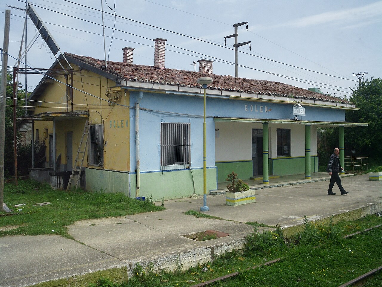
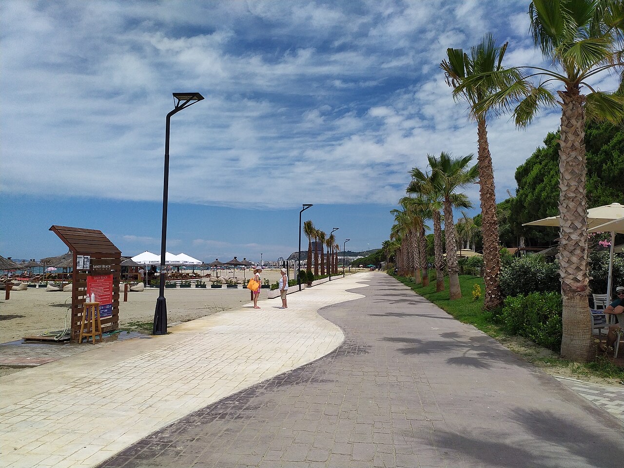
Golem is a long sandy beach south of Durrës with a lot of hotels. It is one of the busiest beach areas in the country in summer.
Golem is a long sandy beach south of Durrës with a lot of hotels. It is one of the busiest beach areas in the country in summer.
Città · Durrës
Albania's principal port and its oldest continuously inhabited city, founded as Epidamnos in 627 BC.
Città di medie dimensioni · Tiranë
A market town behind the Adriatic dunes, near the wide beaches of Golem and Spille.
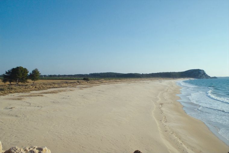
Spiaggia · Tiranë
A quieter sand beach south of Kavajë, backed by farmland rather than hotels.
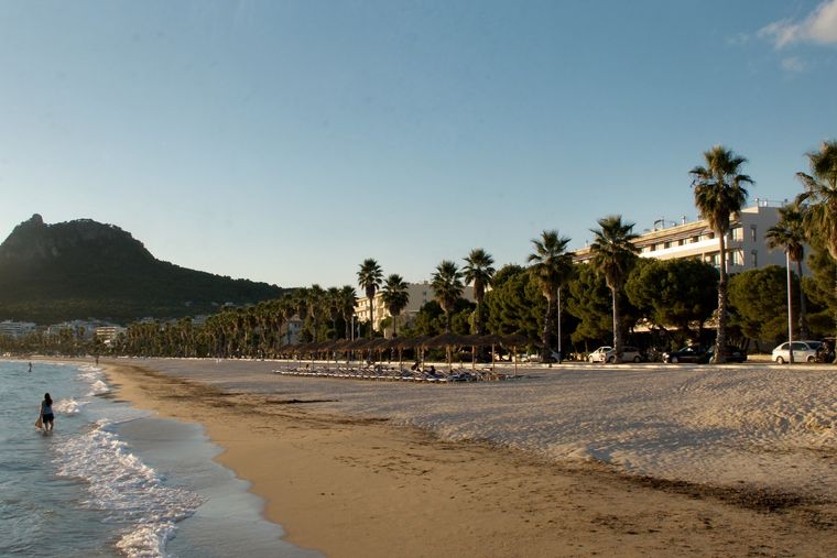
Spiaggia · Tiranë
The continuation of the Durrës sand south past Qerret and Mali i Robit.
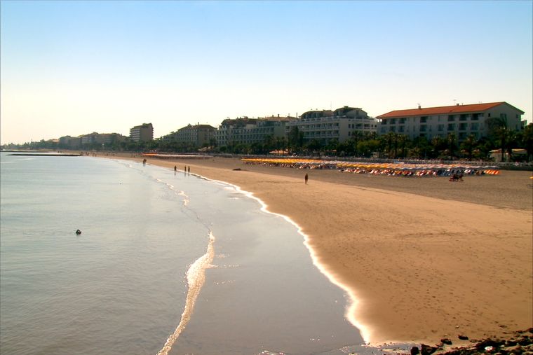
Spiaggia · Durrës
A continuous sand strip running south from the city — the busiest beach in Albania by visitor numbers.
Hai notato un errore in questa pagina? Le correzioni sono benvenute e vengono verificate rispetto al record di fonte. Indica cosa è sbagliato e, se possibile, da dove proviene il dato corretto.