城市 · Durrës
Durrës
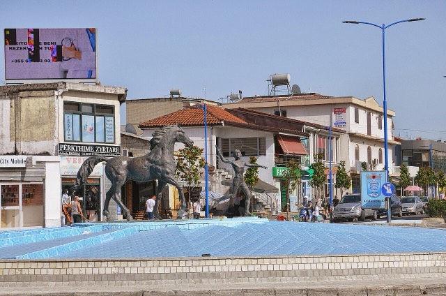
Albania's principal port and its oldest continuously inhabited city, founded as Epidamnos in 627 BC.
每个县、每段海岸、每个世纪
引导视图
初次了解阿尔巴尼亚?每个页面均以通俗易懂的说明开篇——即便是十岁的孩子也能读懂——随后再展开详细内容。
专业视图
您已掌握基础知识。直接进入正题,简明解释默认隐藏。此为默认模式。
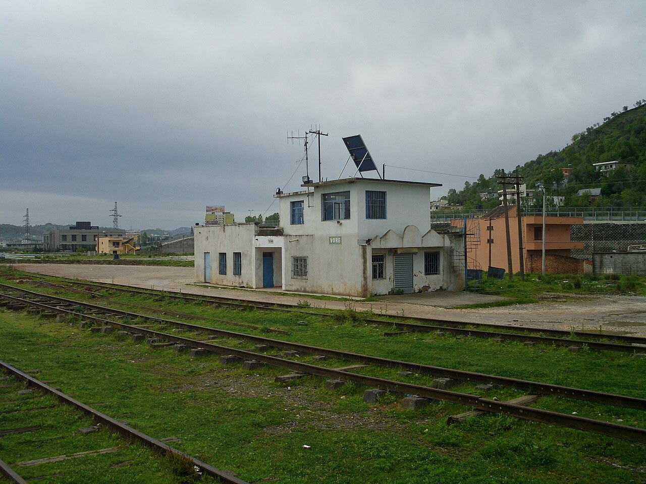
城镇 · Tiranë County
A road and rail junction between Tirana, Durrës and the airport.
保存
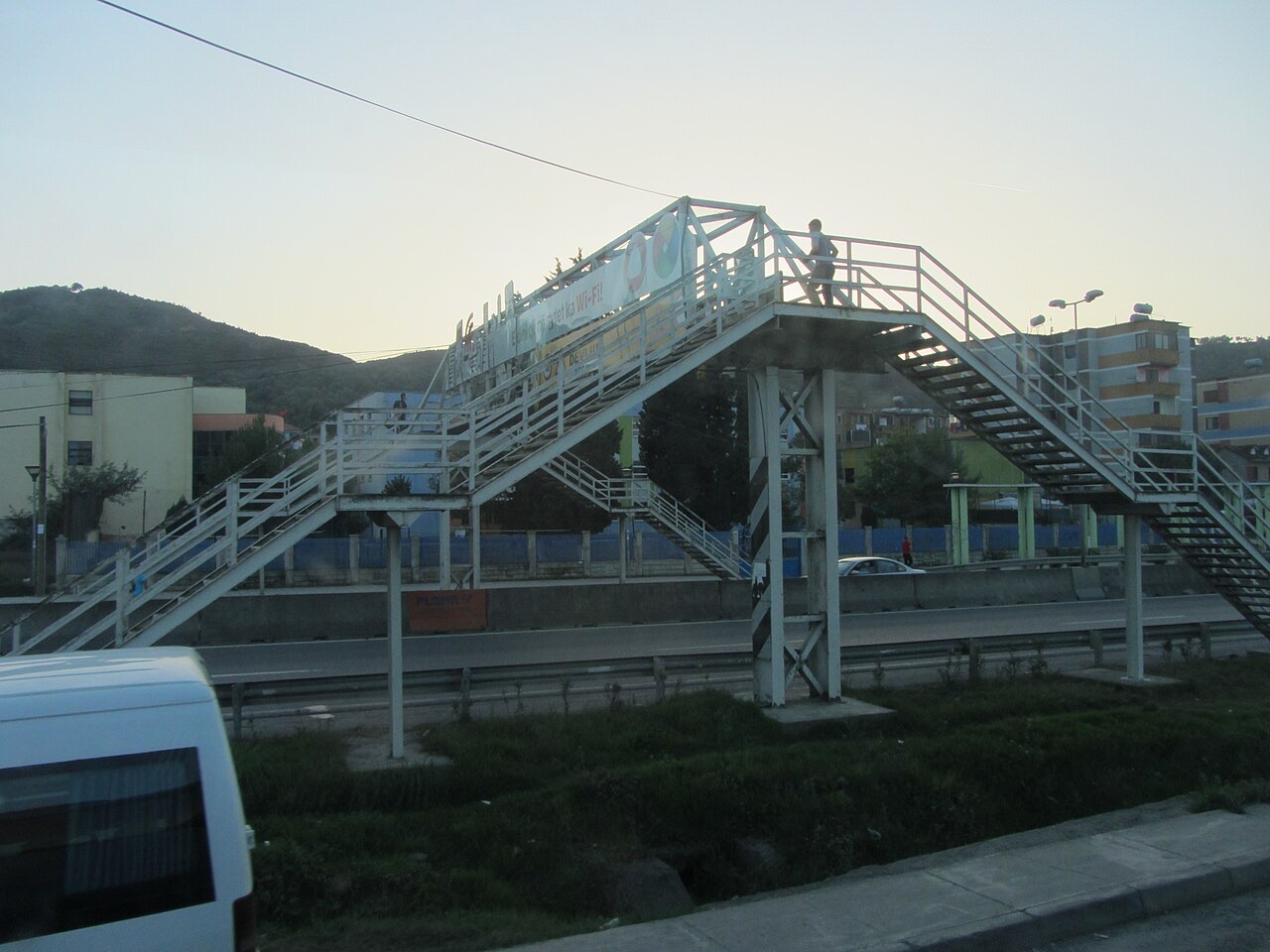
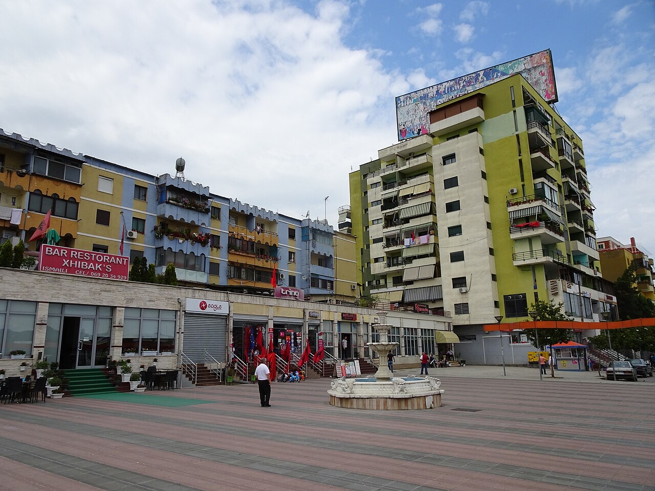
Vorë is a small town where the roads between Tirana, Durrës and the airport meet.
Vorë is a small town where the roads between Tirana, Durrës and the airport meet.
城市 · Durrës
Albania's principal port and its oldest continuously inhabited city, founded as Epidamnos in 627 BC.
城市 · Tiranë
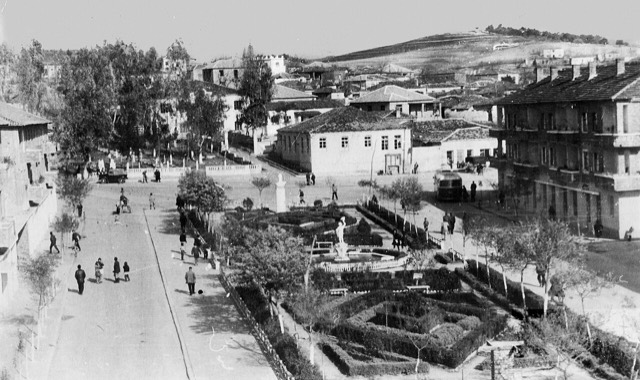
The capital: a fast-changing city of painted blocks, Ottoman survivals and new towers, under Mount Dajti.
机场 · Tiranë
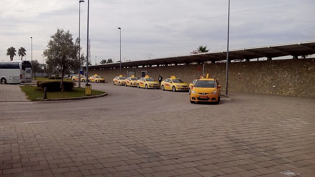
Albania's principal airport, 17 km north-west of Tirana — for years the country's only functioning civil airport.
城镇 · Tiranë
A city on Tirana's northern edge that grew almost entirely from internal migration after 1991.
历史遗址 · Tiranë
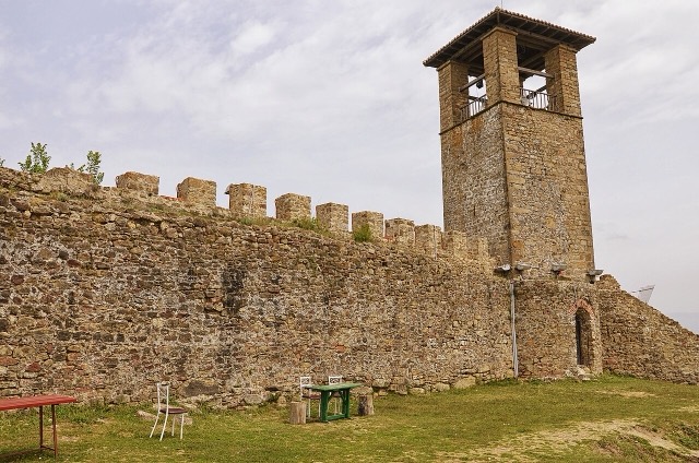
A compact hill castle between Tirana and the airport, with a view over the whole plain.
城镇 · Durrës
A market town between Durrës and Tirana with a long-established Roma and Egyptian community.
本页内容有误? 欢迎提交更正意见,所有意见均会与原始记录核对。请告知错误所在,如能提供正确数据的出处,请一并注明。