Thành phố · Durrës
Durrës
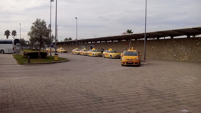
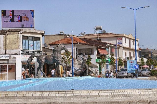
Albania's principal port and its oldest continuously inhabited city, founded as Epidamnos in 627 BC.
Mọi hạt, mọi bờ biển, mọi thế kỷ
Chế độ hướng dẫn
Mới tìm hiểu về Albania? Mỗi trang mở đầu bằng một giải thích ngôn ngữ đơn giản mà bạn có thể đọc cho một đứa trẻ mười tuổi, trước khi đi vào chi tiết.
Chế độ chuyên gia
Bạn đã nắm được những điều cơ bản. Đi thẳng vào nội dung, với các giải thích đơn giản được ẩn đi. Đây là chế độ mặc định.
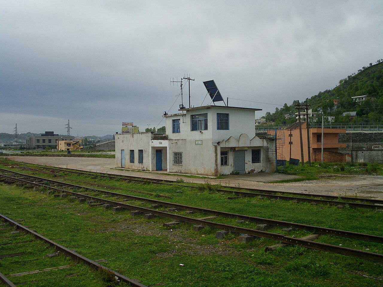
Thị trấn · Tiranë County
A road and rail junction between Tirana, Durrës and the airport.
Lưu
Vorë is a small town where the roads between Tirana, Durrës and the airport meet.
Vorë is a small town where the roads between Tirana, Durrës and the airport meet.
Thành phố · Durrës
Albania's principal port and its oldest continuously inhabited city, founded as Epidamnos in 627 BC.
Thành phố · Tiranë
The capital: a fast-changing city of painted blocks, Ottoman survivals and new towers, under Mount Dajti.
Sân bay · Tiranë
Albania's principal airport, 17 km north-west of Tirana — for years the country's only functioning civil airport.
Thị trấn · Tiranë
A city on Tirana's northern edge that grew almost entirely from internal migration after 1991.
Di tích lịch sử · Tiranë
A compact hill castle between Tirana and the airport, with a view over the whole plain.
Thị trấn · Durrës
A market town between Durrës and Tirana with a long-established Roma and Egyptian community.
Có thông tin sai trên trang này? Chúng tôi hoan nghênh các đề nghị đính chính và sẽ đối chiếu với hồ sơ nguồn. Hãy cho chúng tôi biết điều gì sai và, nếu có thể, nguồn số liệu chính xác là ở đâu.