Cidade · Durrës
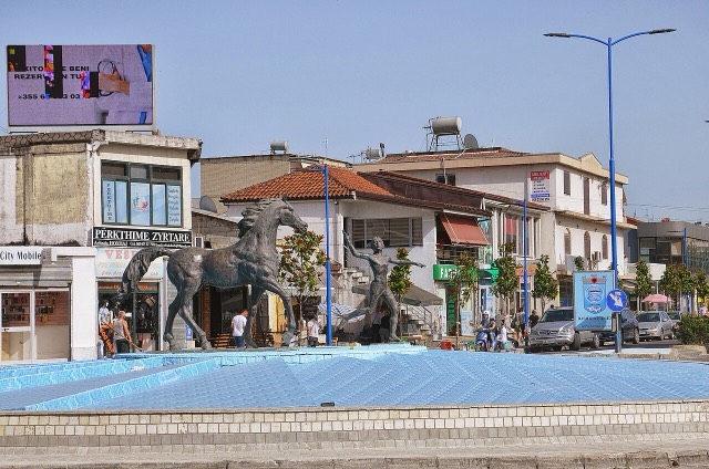
Durrës
Albania's principal port and its oldest continuously inhabited city, founded as Epidamnos in 627 BC.
Cada condado, cada costa, cada século
Vista guiada
Novo na Albânia? Cada página começa com uma explicação em linguagem simples, acessível a uma criança de dez anos, antes de entrar em pormenor.
Vista para especialistas
Já conhece o essencial. Direto ao conteúdo, com as explicações simples ocultadas. Esta é a vista predefinida.
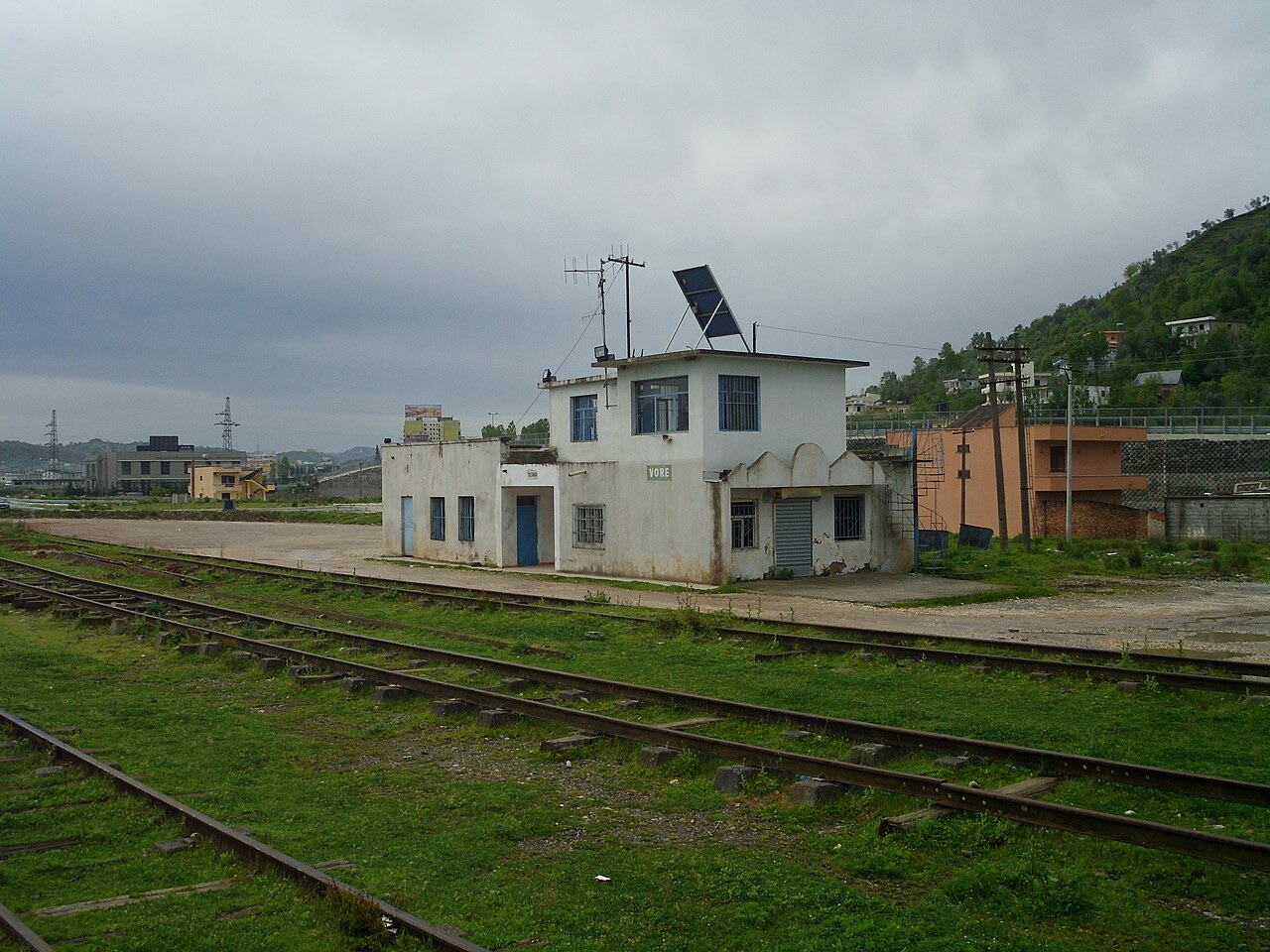
Vila · Tiranë County
A road and rail junction between Tirana, Durrës and the airport.
Guardar
Vorë is a small town where the roads between Tirana, Durrës and the airport meet.
Vorë is a small town where the roads between Tirana, Durrës and the airport meet.
Cidade · Durrës
Albania's principal port and its oldest continuously inhabited city, founded as Epidamnos in 627 BC.
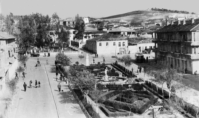
Cidade · Tiranë
The capital: a fast-changing city of painted blocks, Ottoman survivals and new towers, under Mount Dajti.
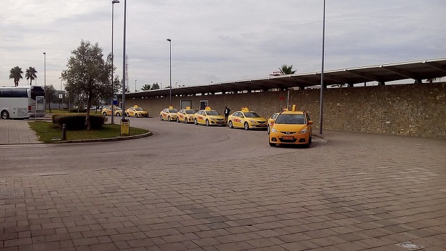
Aeroporto · Tiranë
Albania's principal airport, 17 km north-west of Tirana — for years the country's only functioning civil airport.
Vila · Tiranë
A city on Tirana's northern edge that grew almost entirely from internal migration after 1991.
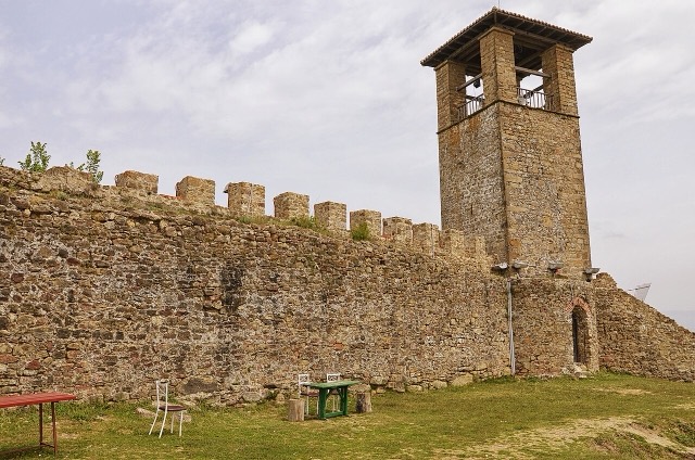
Sítio histórico · Tiranë
A compact hill castle between Tirana and the airport, with a view over the whole plain.
Vila · Durrës
A market town between Durrës and Tirana with a long-established Roma and Egyptian community.
Algo errado nesta página? As correções são bem-vindas e verificadas em confronto com o registo de origem. Indique o que está errado e, se possível, de onde provém o valor correto.