Kota besar · Durrës
Durrës
Albania's principal port and its oldest continuously inhabited city, founded as Epidamnos in 627 BC.
Setiap kabupaten, pantai, dan abad
Tampilan terpandu
Baru mengenal Albania? Setiap halaman dibuka dengan penjelasan dalam bahasa sederhana yang dapat dibaca oleh anak usia sepuluh tahun, sebelum detail lebih lanjut dimulai.
Tampilan ahli
Anda sudah mengetahui dasar-dasarnya. Langsung ke inti pembahasan, dengan penjelasan sederhana yang disembunyikan. Ini adalah tampilan default.
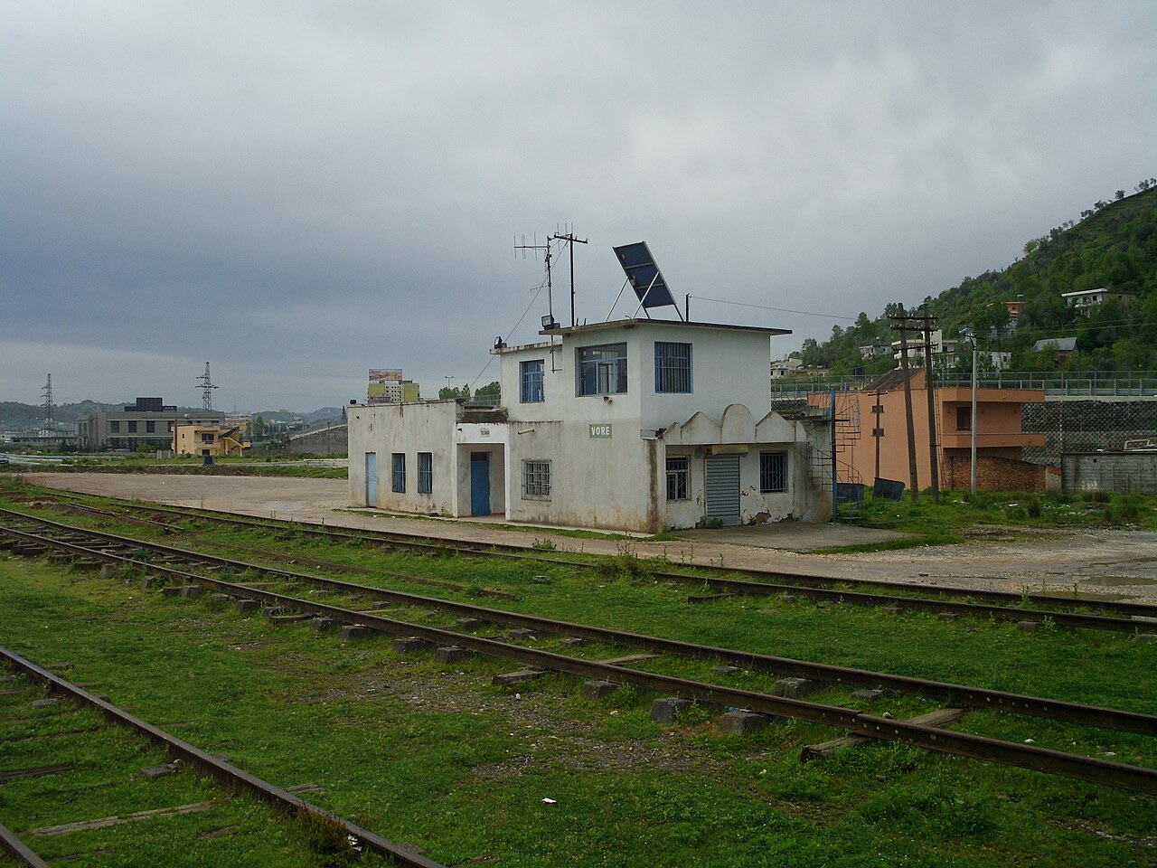
Kota · Tiranë County
A road and rail junction between Tirana, Durrës and the airport.
Simpan
Vorë is a small town where the roads between Tirana, Durrës and the airport meet.
Vorë is a small town where the roads between Tirana, Durrës and the airport meet.
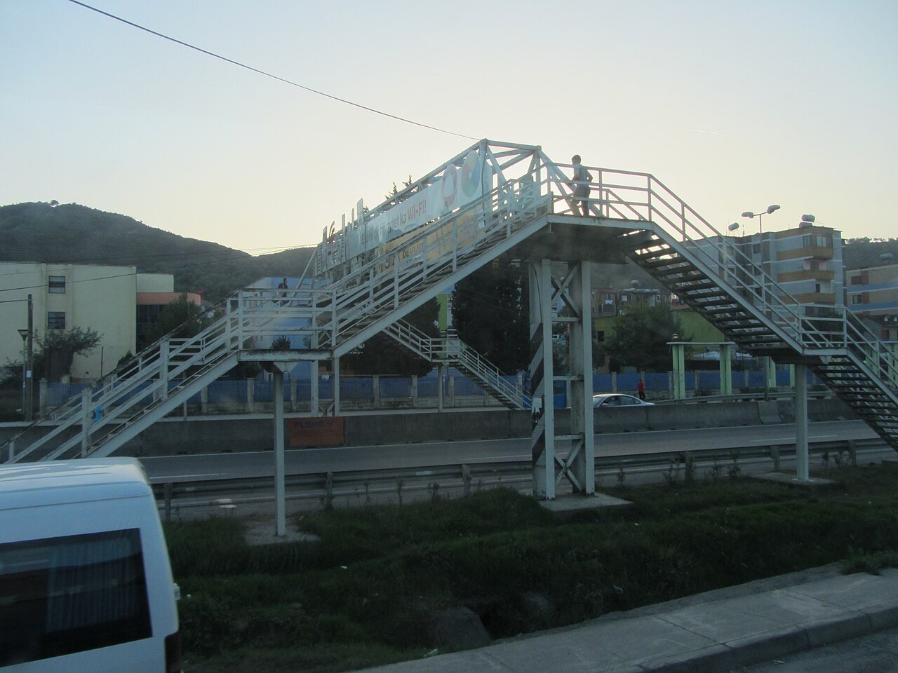
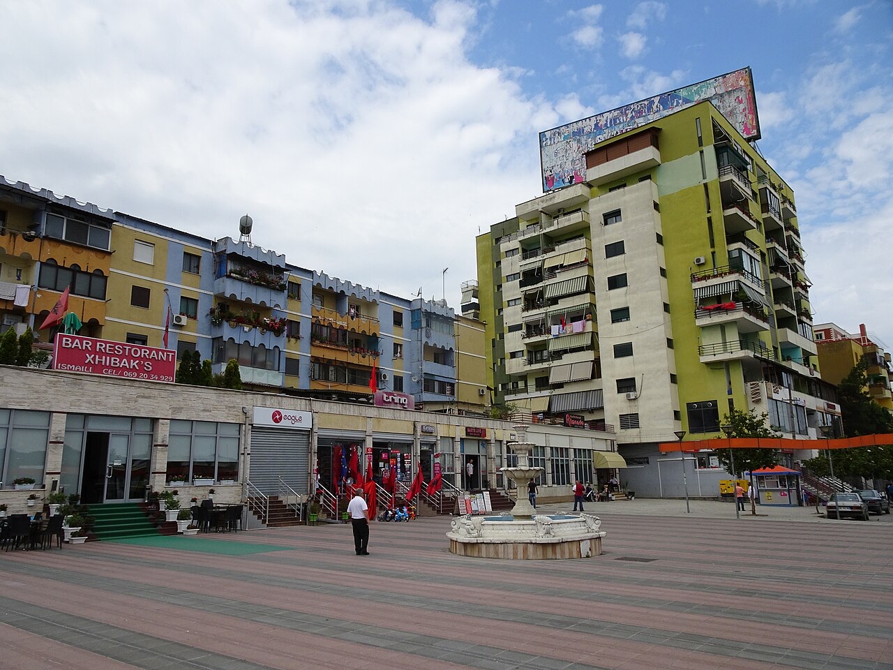
Kota besar · Durrës
Albania's principal port and its oldest continuously inhabited city, founded as Epidamnos in 627 BC.
Kota besar · Tiranë
The capital: a fast-changing city of painted blocks, Ottoman survivals and new towers, under Mount Dajti.
Bandara · Tiranë
Albania's principal airport, 17 km north-west of Tirana — for years the country's only functioning civil airport.
Kota · Tiranë
A city on Tirana's northern edge that grew almost entirely from internal migration after 1991.
Situs bersejarah · Tiranë
A compact hill castle between Tirana and the airport, with a view over the whole plain.
Kota · Durrës
A market town between Durrës and Tirana with a long-established Roma and Egyptian community.
Ada yang salah di halaman ini? Koreksi sangat disambut dan akan diperiksa terhadap catatan sumber. Beri tahu kami apa yang salah dan, jika memungkinkan, dari mana angka yang benar berasal.