Stadt · Durrës
Durrës
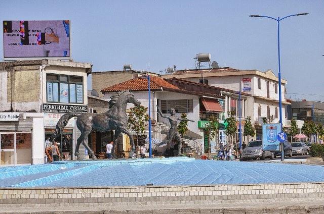
Albania's principal port and its oldest continuously inhabited city, founded as Epidamnos in 627 BC.
Jeder Kreis, jede Küste, jedes Jahrhundert
Geführte Ansicht
Neu in Albanien? Jede Seite beginnt mit einer einfachen Erklärung, die auch ein Zehnjähriger verstehen würde – bevor es ins Detail geht.
Expertenansicht
Sie kennen die Grundlagen bereits. Direkt zur Substanz, ohne die vereinfachten Erklärungen. Dies ist die Standardeinstellung.
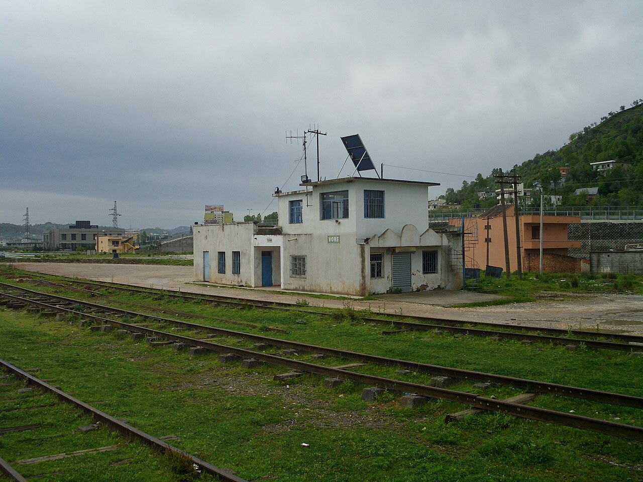
Kleinstadt · Tiranë County
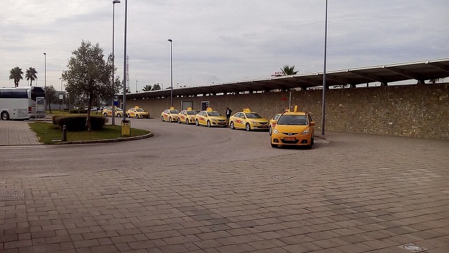
A road and rail junction between Tirana, Durrës and the airport.
Speichern
Vorë is a small town where the roads between Tirana, Durrës and the airport meet.
Vorë is a small town where the roads between Tirana, Durrës and the airport meet.
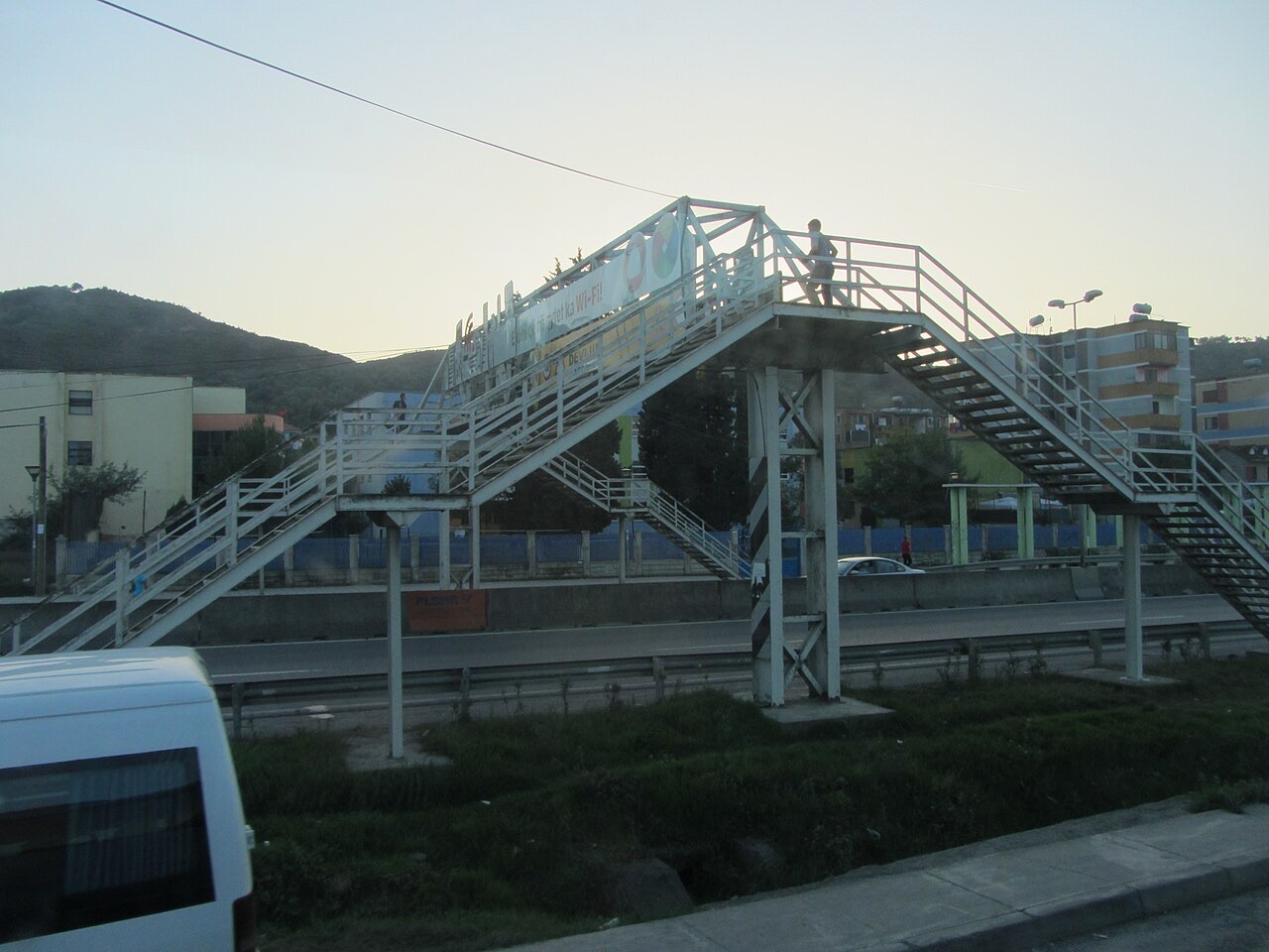
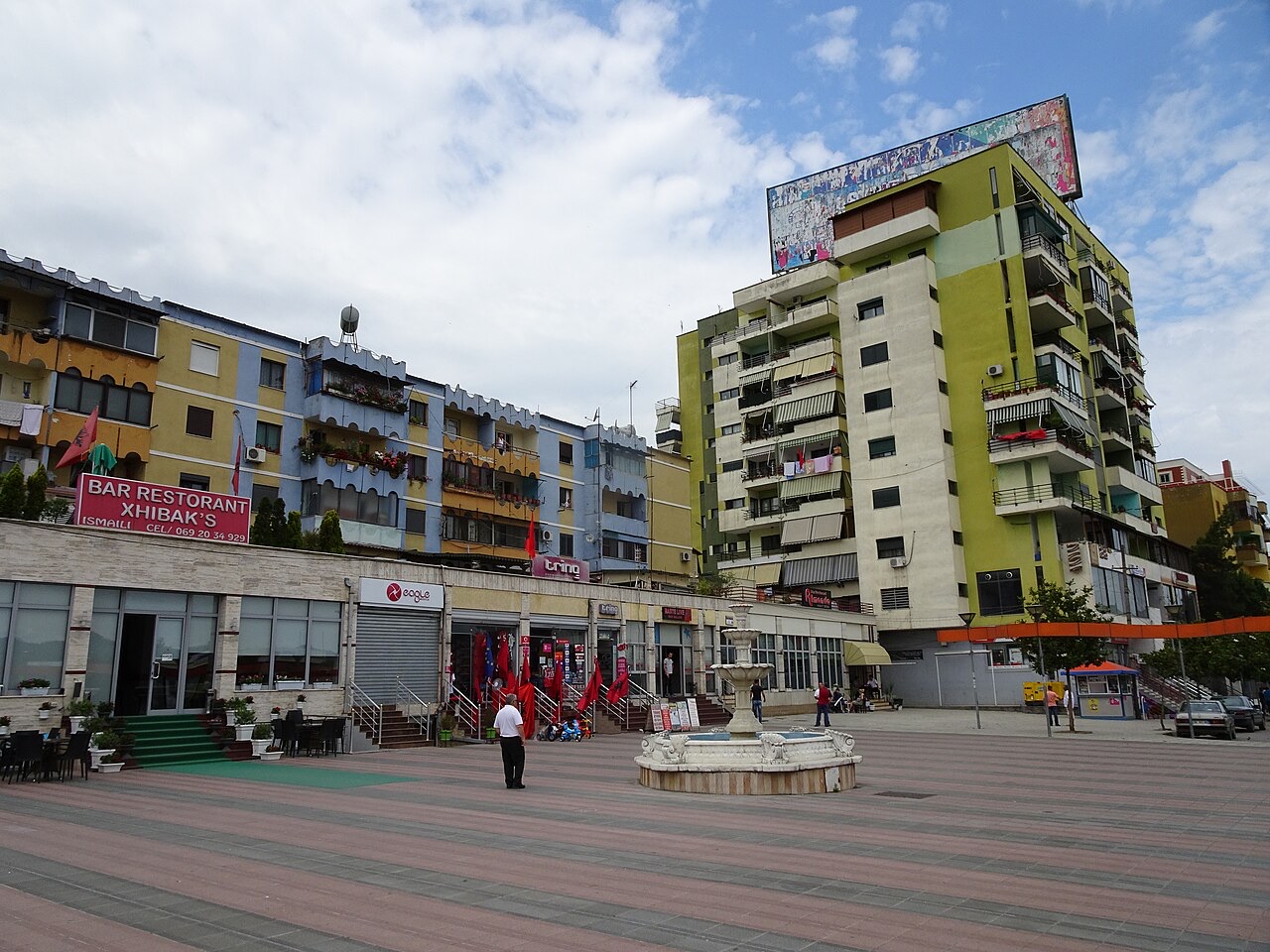
Stadt · Durrës
Albania's principal port and its oldest continuously inhabited city, founded as Epidamnos in 627 BC.
Stadt · Tiranë
The capital: a fast-changing city of painted blocks, Ottoman survivals and new towers, under Mount Dajti.
Flughafen · Tiranë
Albania's principal airport, 17 km north-west of Tirana — for years the country's only functioning civil airport.
Kleinstadt · Tiranë
A city on Tirana's northern edge that grew almost entirely from internal migration after 1991.
Historische Stätte · Tiranë
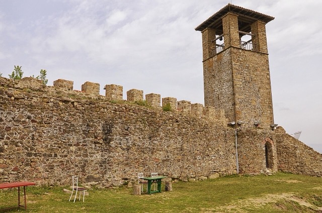
A compact hill castle between Tirana and the airport, with a view over the whole plain.
Kleinstadt · Durrës
A market town between Durrës and Tirana with a long-established Roma and Egyptian community.
Etwas falsch auf dieser Seite? Korrekturen sind willkommen und werden gegen den Quelldatensatz geprüft. Bitte mitteilen, was falsch ist und, wenn möglich, woher die richtige Angabe stammt.