शहर
Korçë
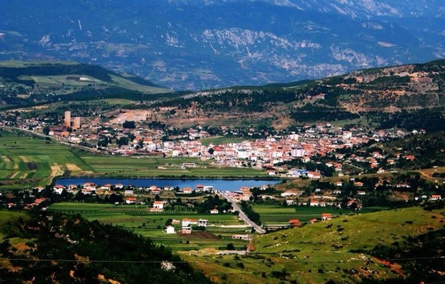
The highland city of serenades, the first Albanian-language school, and the country's oldest brewery.
🧭 निर्देशित दृश्य
Albania में नए हैं? हर पृष्ठ एक सरल-भाषा स्पष्टीकरण के साथ खुलता है जिसे आप किसी दस वर्षीय बच्चे को पढ़ कर सुना सकते हैं, इससे पहले कि विस्तृत जानकारी शुरू हो।
⚡ विशेषज्ञ दृश्य
आप मूल बातें पहले से जानते हैं। सीधे मूल विषय पर, सरल स्पष्टीकरण छिपे हुए। यह डिफ़ॉल्ट है।
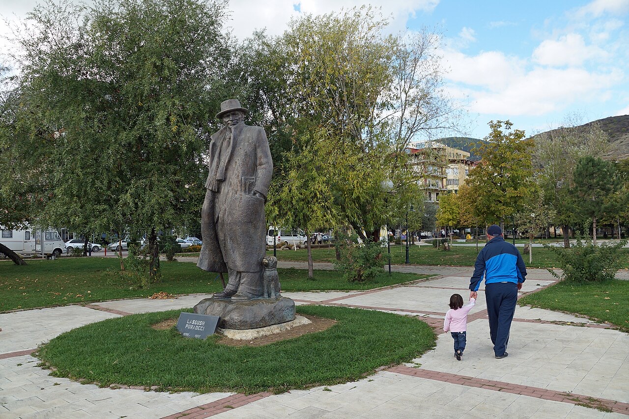
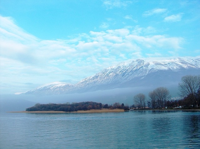
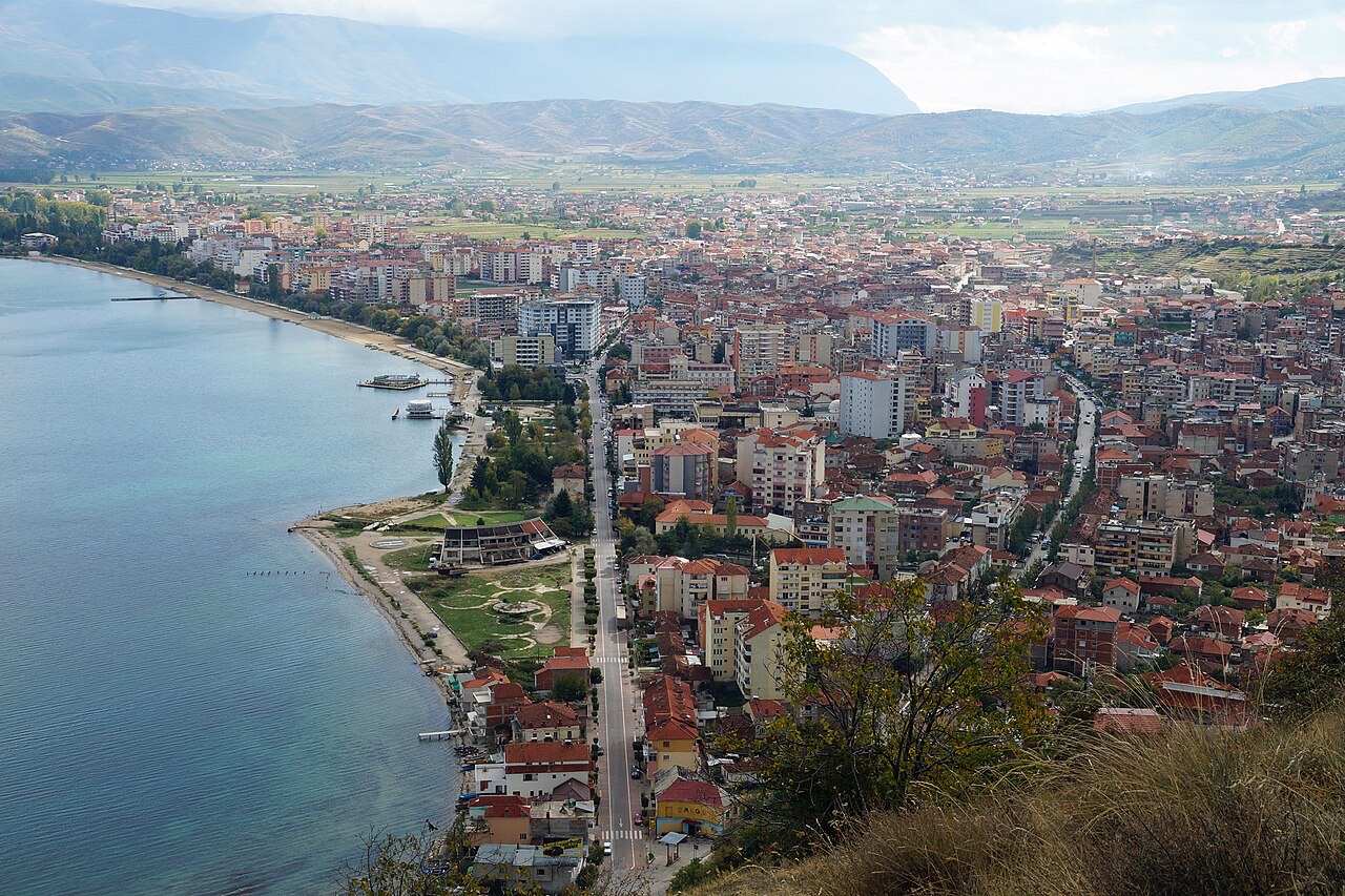
Pogradec sits on the shore of Lake Ohrid, one of the oldest and deepest lakes in Europe. People swim in it in summer and eat a fish called koran that lives only there. The lake is shared with North Macedonia.
Pogradec sits on the shore of Lake Ohrid, one of the oldest and deepest lakes in Europe. People swim in it in summer and eat a fish called koran that lives only there. The lake is shared with North Macedonia.
तीस-वर्षीय सामान्य औसत — Pogradec, इस Atlas के लिए 1994–2023 के दैनिक ERA5 पुनर्विश्लेषण से संगणित। ये दीर्घकालिक औसत हैं, कोई पूर्वानुमान नहीं: कोई भी व्यक्तिगत वर्ष इनसे काफ़ी भिन्न हो सकता है।
सबसे गर्म महीना है August (औसत दैनिक अधिकतम 27°C), सबसे ठंडा है January (औसत दैनिक न्यूनतम -1°C), और सबसे अधिक वर्षा वाला है December (96 mm). कुल वार्षिक वर्षा का औसत है 835 mm.
| माह | अधिकतम | न्यूनतम | वर्षा | वर्षा के दिन | धूप/दिन |
|---|---|---|---|---|---|
| January | 5°C | -1°C | 90 mm | 11 | 6.5 h |
| February | 7°C | -0°C | 75 mm | 10 | 7.7 h |
| March | 10°C | 2°C | 83 mm | 12 | 9.0 h |
| April | 15°C | 6°C | 78 mm | 13 | 10.4 h |
| May | 20°C | 10°C | 67 mm | 12 | 11.6 h |
| June | 24°C | 15°C | 44 mm | 8 | 13.4 h |
| July | 27°C | 18°C | 34 mm | 6 | 13.5 h |
| August | 27°C | 18°C | 33 mm | 6 | 12.6 h |
| September | 22°C | 14°C | 64 mm | 9 | 10.4 h |
| October | 18°C | 10°C | 78 mm | 9 | 8.6 h |
| November | 12°C | 5°C | 93 mm | 11 | 6.6 h |
| December | 7°C | 1°C | 96 mm | 12 | 6.0 h |
स्रोत: ERA5 reanalysis via Open-Meteo, 1994–2023 · "अधिकतम" और "न्यूनतम" क्रमशः औसत दैनिक अधिकतम और न्यूनतम वायु तापमान हैं। "वर्षा के दिन" उन दिनों की गणना करता है जिनमें कम से कम 1 मिमी वर्षण हुई हो। इसे JSON के रूप में प्राप्त करें
ये Atlas में वास्तविक संबंध हैं — वे स्थान जो इसके निकट हैं, और वे विषय जिनसे यह वास्तव में संबंधित है। यहाँ कुछ भी सामान्य अनुशंसा नहीं है।
The highland city of serenades, the first Albanian-language school, and the country's oldest brewery.
One of Europe's oldest and deepest lakes, UNESCO-listed and home to species found nowhere else.
Floor mosaics of birds and vines from a hilltop basilica above Lake Ohrid.
A peninsula village on Lake Ohrid with a 6th-century basilica floor mosaic and a prehistoric pile settlement.
A town on a drained marsh plain, built around a sugar refinery in the 1950s.
A former nickel-mining town on the road to Lake Ohrid.
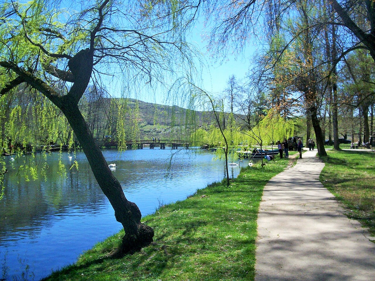
Spring-fed canals and plane trees on the Ohrid shore east of Pogradec.
One of Europe's oldest and deepest lakes, UNESCO-listed and home to species found nowhere else.
The highland city and the lake town, 40 km apart in Albania's south-east.
Spring-fed canals and plane trees on the Ohrid shore east of Pogradec.
इस पृष्ठ पर कुछ गलत है? सुधार स्वागतयोग्य हैं और स्रोत अभिलेख के विरुद्ध जाँचे जाते हैं। हमें बताएँ क्या गलत है और, यदि संभव हो, तो सही आँकड़ा कहाँ से आता है।