City · Korçë
Korçë
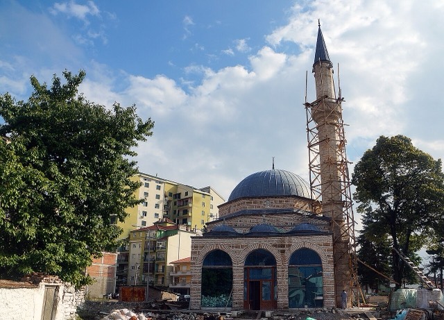
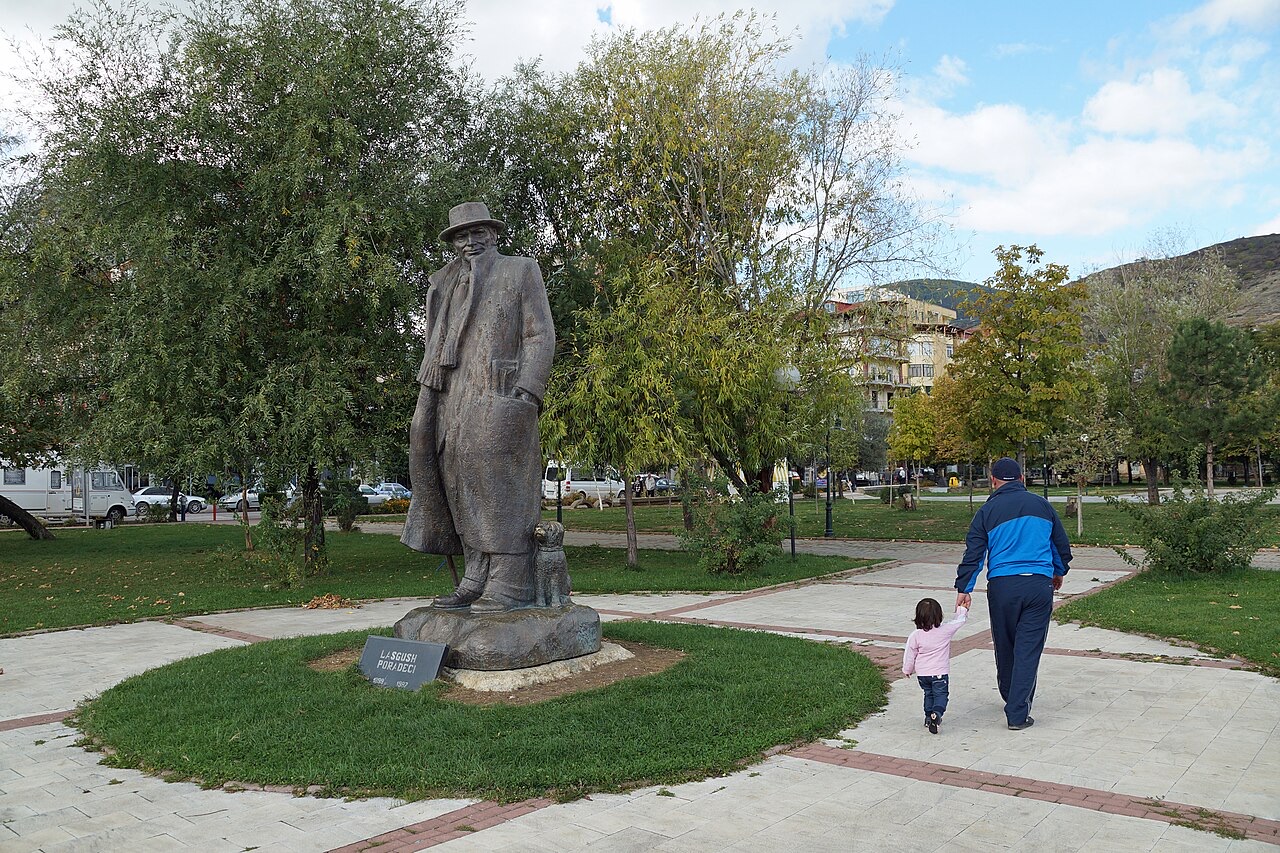
The highland city of serenades, the first Albanian-language school, and the country's oldest brewery.
Every county, coast and century
Guided view
New to Albania? Every page opens with a plain-language explanation you could read to a ten-year-old, before the detail begins.
Expert view
You already know the basics. Straight to the substance, with the simple explanations hidden. This is the default.
Town · Korçë County
A lakeside town on Ohrid, a UNESCO natural and cultural site shared with North Macedonia.
Save
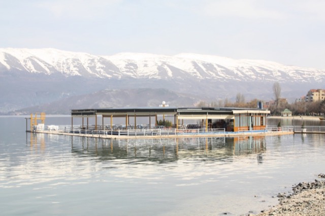
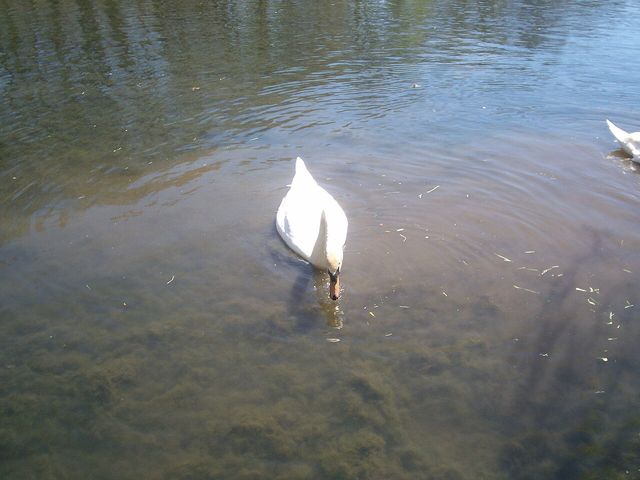
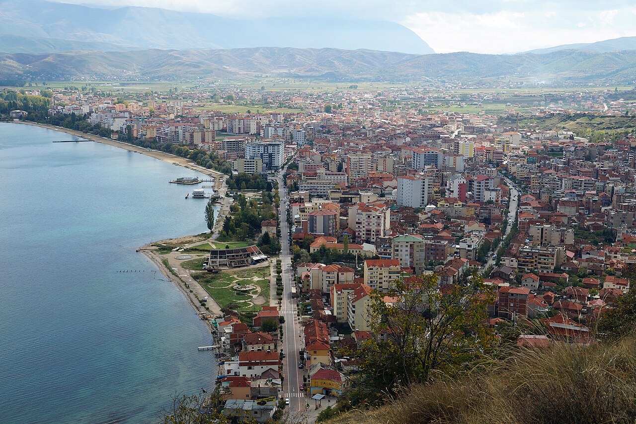
Pogradec sits on the shore of Lake Ohrid, one of the oldest and deepest lakes in Europe. People swim in it in summer and eat a fish called koran that lives only there. The lake is shared with North Macedonia.
Pogradec sits on the shore of Lake Ohrid, one of the oldest and deepest lakes in Europe. People swim in it in summer and eat a fish called koran that lives only there. The lake is shared with North Macedonia.
The warmest month is August (mean daily high 27°C), the coldest is January (mean daily low -1°C), and the wettest is December (96 mm). Total annual rainfall averages 835 mm.
| Month | High | Low | Rain | Wet days | Sun/day |
|---|---|---|---|---|---|
| January | 5°C | -1°C | 90 mm | 11 | 6.5 h |
| February | 7°C | -0°C | 75 mm | 10 | 7.7 h |
| March | 10°C | 2°C | 83 mm | 12 | 9.0 h |
| April | 15°C | 6°C | 78 mm | 13 | 10.4 h |
| May | 20°C | 10°C | 67 mm | 12 | 11.6 h |
| June | 24°C | 15°C | 44 mm | 8 | 13.4 h |
| July | 27°C | 18°C | 34 mm | 6 | 13.5 h |
| August | 27°C | 18°C | 33 mm | 6 | 12.6 h |
| September | 22°C | 14°C | 64 mm | 9 | 10.4 h |
| October | 18°C | 10°C | 78 mm | 9 | 8.6 h |
| November | 12°C | 5°C | 93 mm | 11 | 6.6 h |
| December | 7°C | 1°C | 96 mm | 12 | 6.0 h |
Source: ERA5 reanalysis via Open-Meteo, 1994–2023 · “High” and “Low” are mean daily maximum and minimum air temperature. “Wet days” counts days with at least 1 mm of precipitation.
City · Korçë
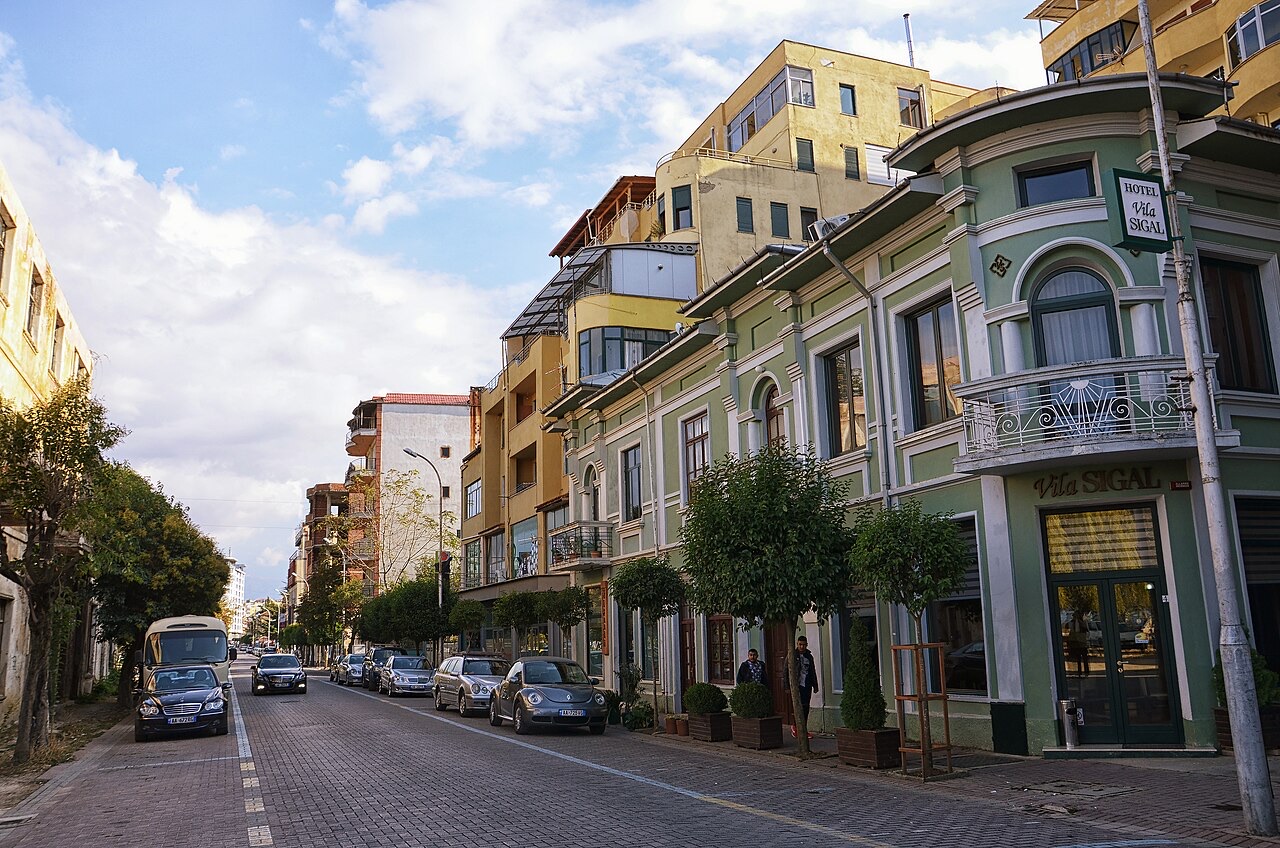
The highland city of serenades, the first Albanian-language school, and the country's oldest brewery.
Lake · Korçë
One of Europe's oldest and deepest lakes, UNESCO-listed and home to species found nowhere else.
Historic site · Korçë
Floor mosaics of birds and vines from a hilltop basilica above Lake Ohrid.
Village · Korçë
A peninsula village on Lake Ohrid with a 6th-century basilica floor mosaic and a prehistoric pile settlement.
Subject · Korçë
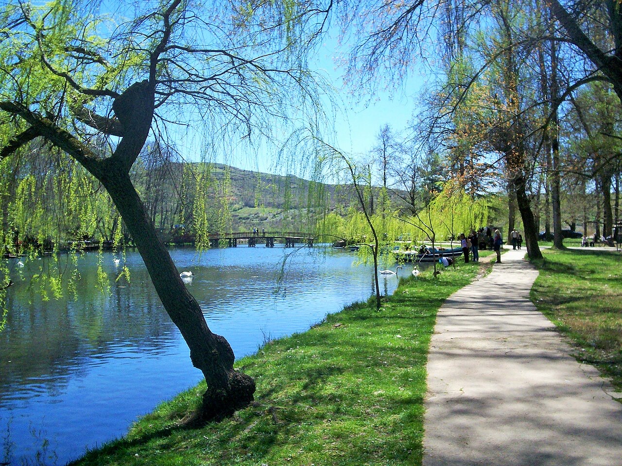
Spring-fed canals and plane trees on the Ohrid shore east of Pogradec.
Comparison
The highland city and the lake town, 40 km apart in Albania's south-east.
Something wrong on this page? Corrections are welcome and are checked against the source record. Tell us what is wrong and, if you can, where the right figure comes from.