Area protetta · Dibër
Lurë-Dejë Mountain National Park
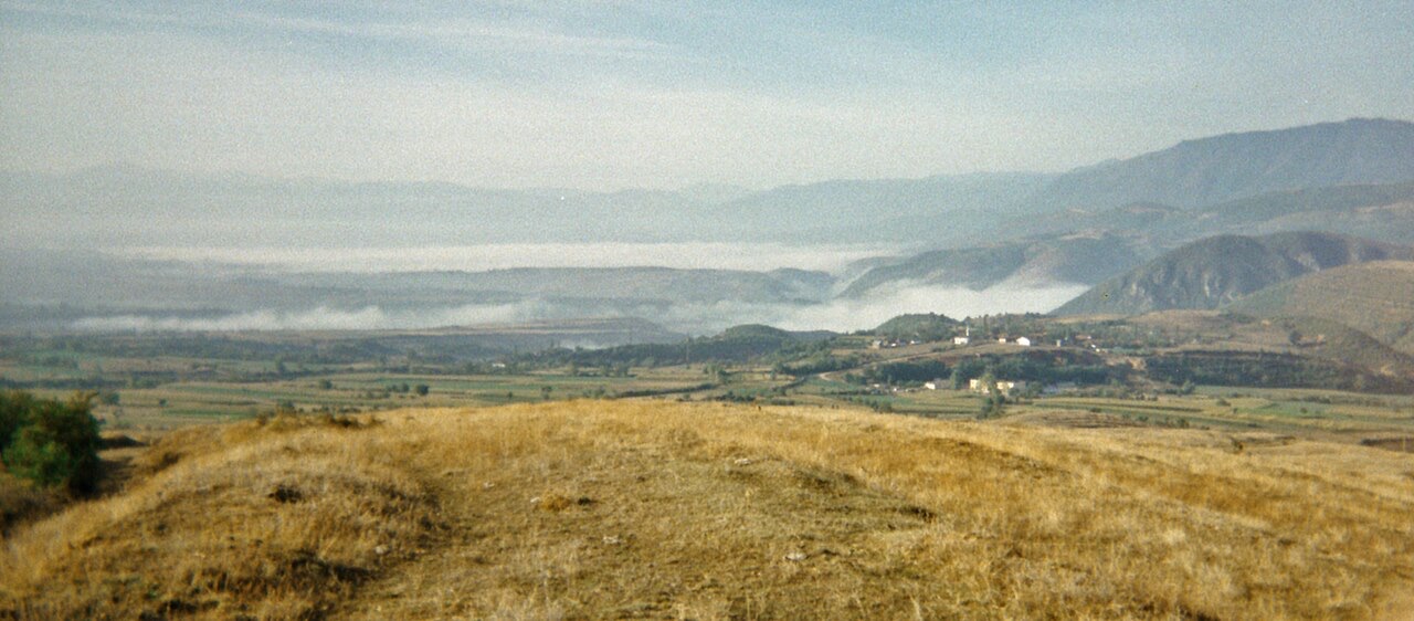
A cluster of small glacial lakes among black pine on the Lurë ridge, badly damaged by logging and slowly recovering.
Ogni contea, ogni costa, ogni secolo
Vista guidata
Non conosci l'Albania? Ogni pagina si apre con una spiegazione in linguaggio semplice, comprensibile anche a un bambino di dieci anni, prima di entrare nei dettagli.
Vista per esperti
Conosci già le basi. Direttamente alla sostanza, con le spiegazioni elementari nascoste. Questa è l'impostazione predefinita.
Città di medie dimensioni · Dibër County
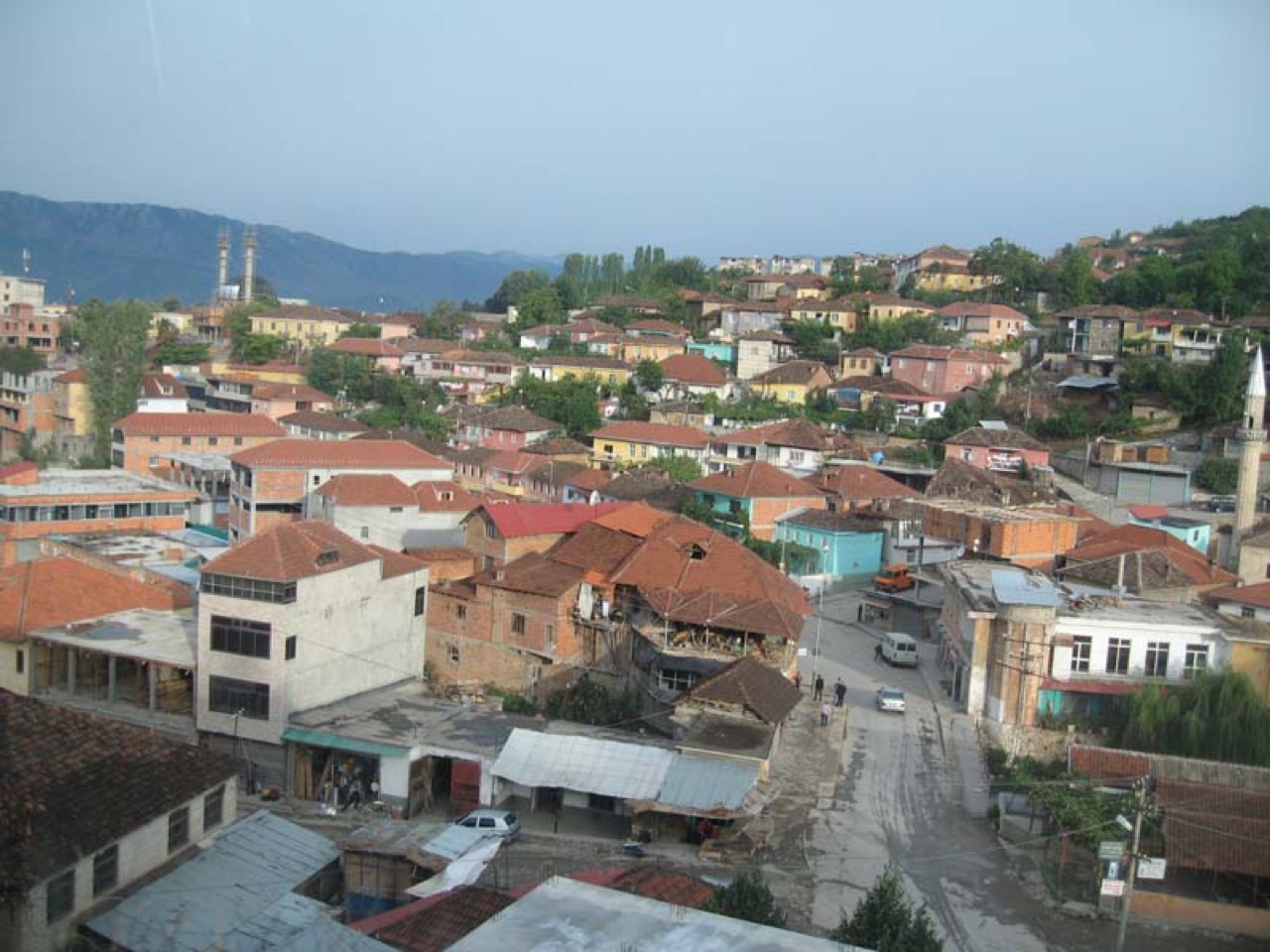
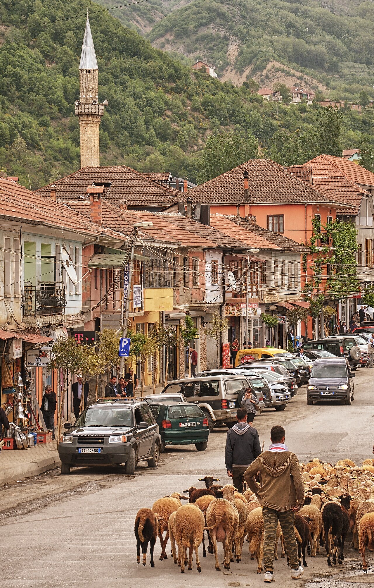
The seat of Dibër County, known for thermal springs and the high pastures below Mount Korab.
Salva
Peshkopi is a town in the eastern mountains. It has hot springs that people bathe in for their health. Albania's highest mountain, Korab, is nearby on the border with North Macedonia.
Peshkopi is a town in the eastern mountains. It has hot springs that people bathe in for their health. Albania's highest mountain, Korab, is nearby on the border with North Macedonia.
Il mese più caldo è August (massima giornaliera media 28°C), il più freddo è January (minima giornaliera media -3°C), e il più piovoso è December (131 mm). La precipitazione annua totale è in media 1,110 mm.
| Mese | Massima | Minima | Pioggia | Giorni piovosi | Sole/giorno |
|---|---|---|---|---|---|
| January | 5°C | -3°C | 116 mm | 11 | 6.5 h |
| February | 6°C | -2°C | 99 mm | 11 | 7.6 h |
| March | 10°C | 1°C | 104 mm | 12 | 9.0 h |
| April | 15°C | 6°C | 105 mm | 15 | 10.1 h |
| May | 20°C | 11°C | 100 mm | 15 | 11.4 h |
| June | 24°C | 15°C | 64 mm | 11 | 13.3 h |
| July | 27°C | 17°C | 50 mm | 8 | 13.4 h |
| August | 28°C | 17°C | 45 mm | 8 | 12.5 h |
| September | 22°C | 13°C | 83 mm | 10 | 10.2 h |
| October | 18°C | 9°C | 87 mm | 9 | 8.5 h |
| November | 12°C | 4°C | 126 mm | 11 | 6.7 h |
| December | 6°C | -1°C | 131 mm | 12 | 5.9 h |
Fonte: ERA5 reanalysis via Open-Meteo, 1994–2023 · «Massima» e «Minima» sono la temperatura dell'aria massima e minima giornaliera media. «Giorni piovosi» conta i giorni con almeno 1 mm di precipitazione.
Area protetta · Dibër
A cluster of small glacial lakes among black pine on the Lurë ridge, badly damaged by logging and slowly recovering.
Città di medie dimensioni · Dibër
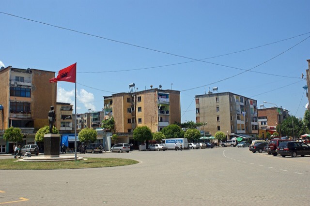
The seat of Mat municipality in the central highlands, near the Mat river dams.
Montagna · Dibër
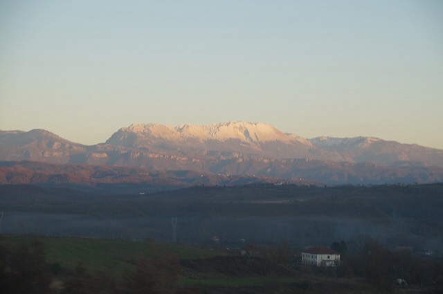
At 2,764 m the highest point in both Albania and North Macedonia, on the border ridge.
Città di medie dimensioni · Dibër
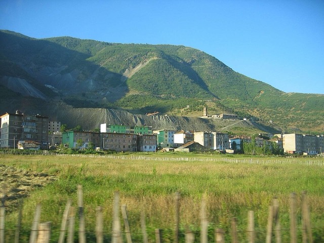
A chromium mining town — Albania is among the world's larger chrome producers.
Catena montuosa · Shkodër
The limestone wall of the far north — locally the Accursed Mountains — shared with Montenegro and Kosovo.
Hai notato un errore in questa pagina? Le correzioni sono benvenute e vengono verificate rispetto al record di fonte. Indica cosa è sbagliato e, se possibile, da dove proviene il dato corretto.