Kawasan lindung · Dibër
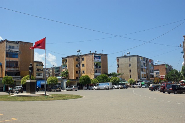
Lurë-Dejë Mountain National Park
A cluster of small glacial lakes among black pine on the Lurë ridge, badly damaged by logging and slowly recovering.
Setiap kabupaten, pantai, dan abad
Tampilan terpandu
Baru mengenal Albania? Setiap halaman dibuka dengan penjelasan dalam bahasa sederhana yang dapat dibaca oleh anak usia sepuluh tahun, sebelum detail lebih lanjut dimulai.
Tampilan ahli
Anda sudah mengetahui dasar-dasarnya. Langsung ke inti pembahasan, dengan penjelasan sederhana yang disembunyikan. Ini adalah tampilan default.
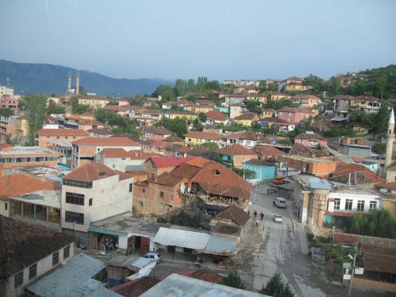
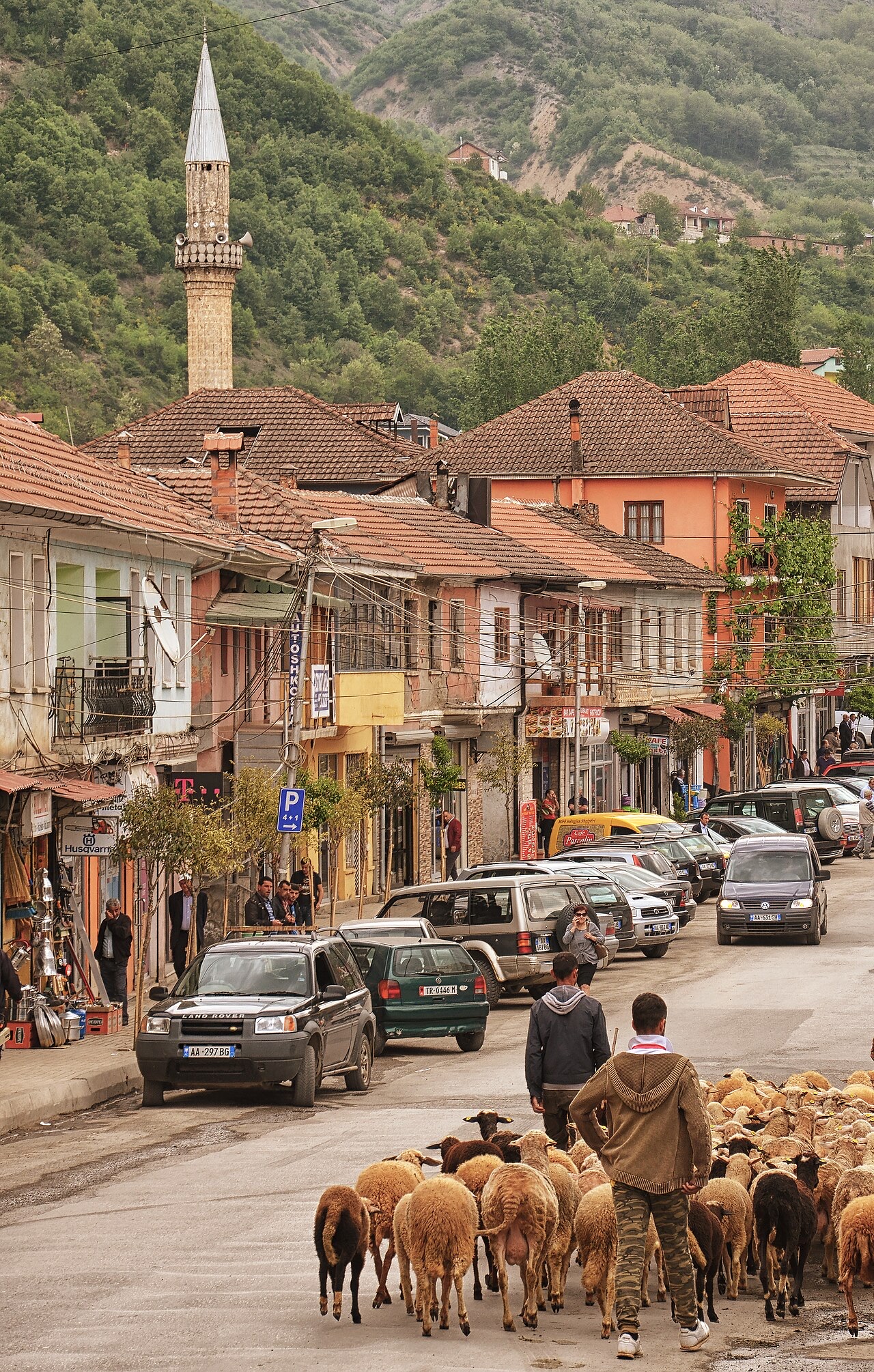
Kota · Dibër County
The seat of Dibër County, known for thermal springs and the high pastures below Mount Korab.
Simpan
Peshkopi is a town in the eastern mountains. It has hot springs that people bathe in for their health. Albania's highest mountain, Korab, is nearby on the border with North Macedonia.
Peshkopi is a town in the eastern mountains. It has hot springs that people bathe in for their health. Albania's highest mountain, Korab, is nearby on the border with North Macedonia.
Bulan terhangat adalah August (rata-rata suhu harian tertinggi 28°C), yang terdingin adalah January (rata-rata suhu harian terendah -3°C), dan yang terbasah adalah December (131 mm). Total curah hujan tahunan rata-rata 1,110 mm.
| Bulan | Tertinggi | Terendah | Hujan | Hari hujan | Matahari/hari |
|---|---|---|---|---|---|
| January | 5°C | -3°C | 116 mm | 11 | 6.5 h |
| February | 6°C | -2°C | 99 mm | 11 | 7.6 h |
| March | 10°C | 1°C | 104 mm | 12 | 9.0 h |
| April | 15°C | 6°C | 105 mm | 15 | 10.1 h |
| May | 20°C | 11°C | 100 mm | 15 | 11.4 h |
| June | 24°C | 15°C | 64 mm | 11 | 13.3 h |
| July | 27°C | 17°C | 50 mm | 8 | 13.4 h |
| August | 28°C | 17°C | 45 mm | 8 | 12.5 h |
| September | 22°C | 13°C | 83 mm | 10 | 10.2 h |
| October | 18°C | 9°C | 87 mm | 9 | 8.5 h |
| November | 12°C | 4°C | 126 mm | 11 | 6.7 h |
| December | 6°C | -1°C | 131 mm | 12 | 5.9 h |
Sumber: ERA5 reanalysis via Open-Meteo, 1994–2023 · "Tertinggi" dan "Terendah" adalah rata-rata suhu udara harian maksimum dan minimum. "Hari hujan" menghitung hari dengan curah hujan minimal 1 mm.
Kawasan lindung · Dibër
A cluster of small glacial lakes among black pine on the Lurë ridge, badly damaged by logging and slowly recovering.
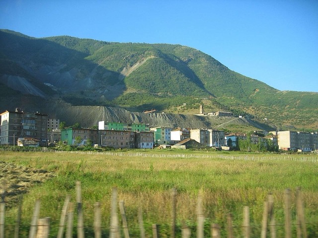
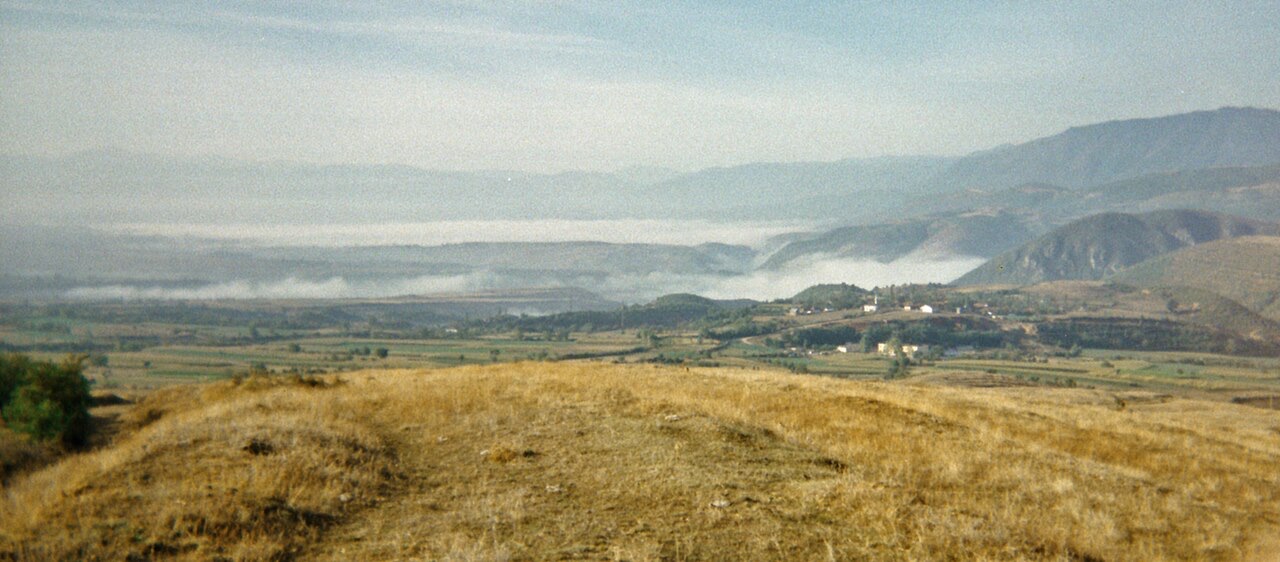
Gunung · Dibër
At 2,764 m the highest point in both Albania and North Macedonia, on the border ridge.
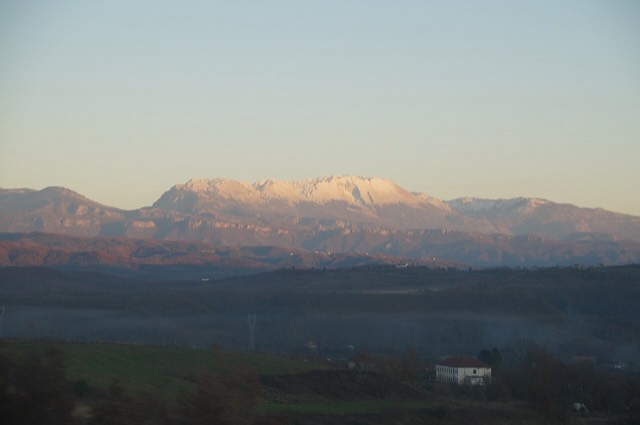
Pegunungan · Shkodër
The limestone wall of the far north — locally the Accursed Mountains — shared with Montenegro and Kosovo.
Ada yang salah di halaman ini? Koreksi sangat disambut dan akan diperiksa terhadap catatan sumber. Beri tahu kami apa yang salah dan, jika memungkinkan, dari mana angka yang benar berasal.