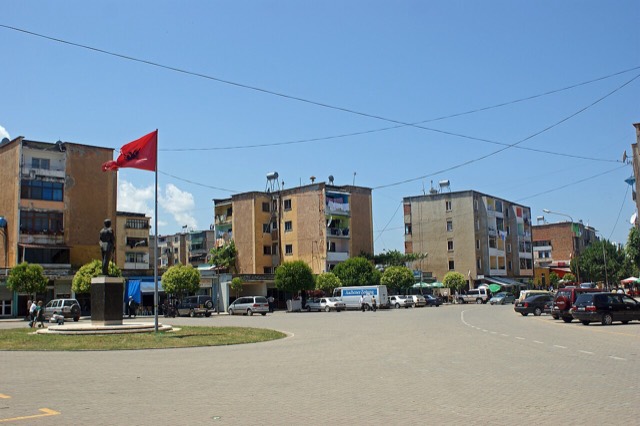
Área protegida · Dibër
Lurë-Dejë Mountain National Park
A cluster of small glacial lakes among black pine on the Lurë ridge, badly damaged by logging and slowly recovering.
Cada condado, cada costa, cada siglo
Vista guiada
¿Nuevo en Albania? Cada página comienza con una explicación en lenguaje sencillo que cualquiera podría entender, antes de entrar en los detalles.
Vista experta
Ya conoces los fundamentos. Directo al contenido, con las explicaciones básicas ocultas. Esta es la vista predeterminada.
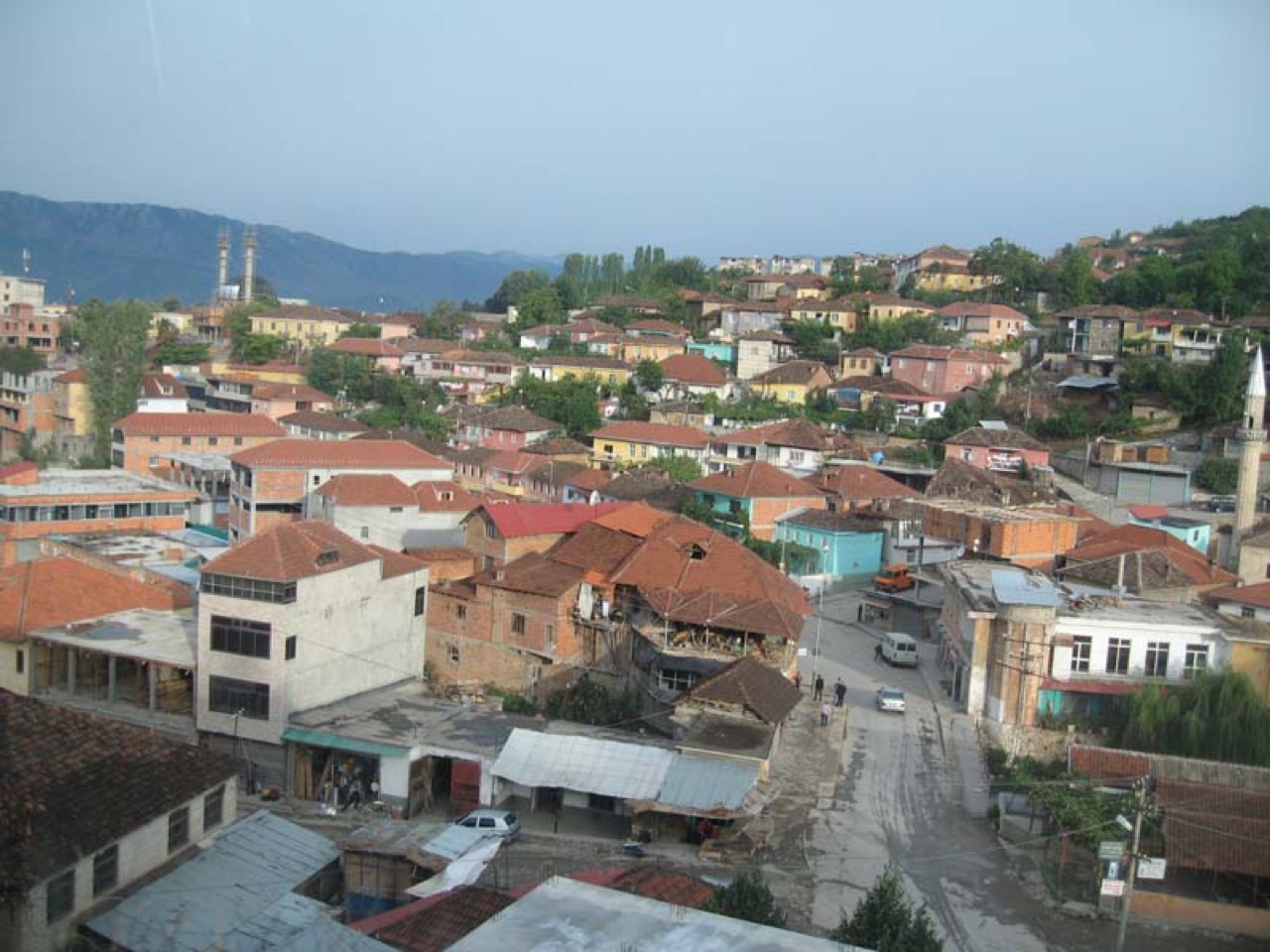
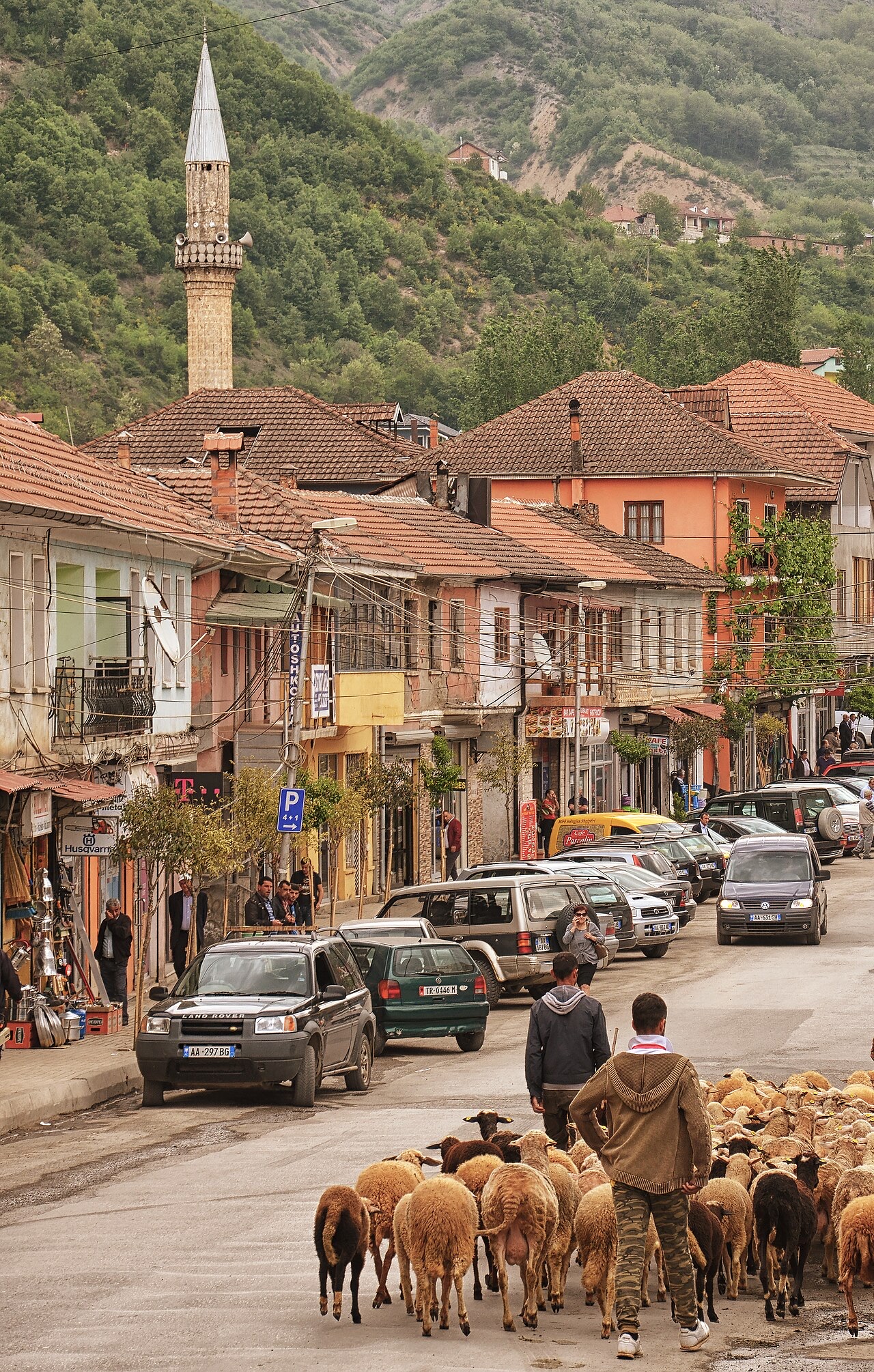
Localidad · Dibër County
The seat of Dibër County, known for thermal springs and the high pastures below Mount Korab.
Guardar
Peshkopi is a town in the eastern mountains. It has hot springs that people bathe in for their health. Albania's highest mountain, Korab, is nearby on the border with North Macedonia.
Peshkopi is a town in the eastern mountains. It has hot springs that people bathe in for their health. Albania's highest mountain, Korab, is nearby on the border with North Macedonia.
El mes más cálido es August (máxima diaria media 28°C), el más frío es January (mínima diaria media -3°C), y el más lluvioso es December (131 mm). La precipitación anual total promedia 1,110 mm.
| Mes | Máx. | Mín. | Lluvia | Días de lluvia | Sol/día |
|---|---|---|---|---|---|
| January | 5°C | -3°C | 116 mm | 11 | 6.5 h |
| February | 6°C | -2°C | 99 mm | 11 | 7.6 h |
| March | 10°C | 1°C | 104 mm | 12 | 9.0 h |
| April | 15°C | 6°C | 105 mm | 15 | 10.1 h |
| May | 20°C | 11°C | 100 mm | 15 | 11.4 h |
| June | 24°C | 15°C | 64 mm | 11 | 13.3 h |
| July | 27°C | 17°C | 50 mm | 8 | 13.4 h |
| August | 28°C | 17°C | 45 mm | 8 | 12.5 h |
| September | 22°C | 13°C | 83 mm | 10 | 10.2 h |
| October | 18°C | 9°C | 87 mm | 9 | 8.5 h |
| November | 12°C | 4°C | 126 mm | 11 | 6.7 h |
| December | 6°C | -1°C | 131 mm | 12 | 5.9 h |
Fuente: ERA5 reanalysis via Open-Meteo, 1994–2023 · «Máx.» y «Mín.» son la temperatura del aire máxima y mínima diaria media. «Días de lluvia» cuenta los días con al menos 1 mm de precipitación.
Área protegida · Dibër
A cluster of small glacial lakes among black pine on the Lurë ridge, badly damaged by logging and slowly recovering.
Localidad · Dibër
The seat of Mat municipality in the central highlands, near the Mat river dams.
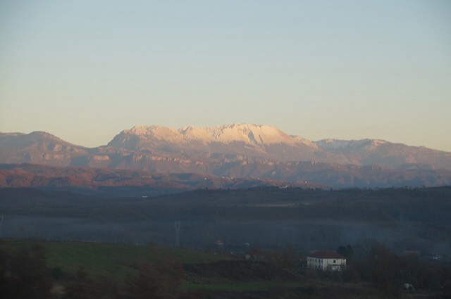
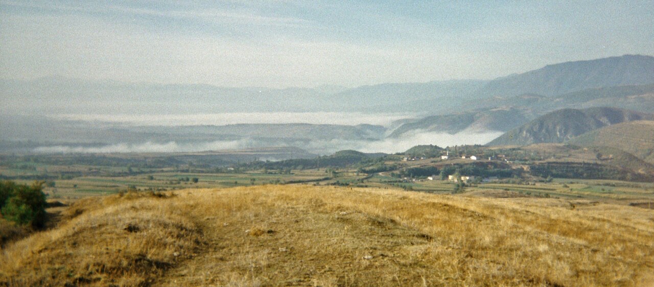
Montaña · Dibër
At 2,764 m the highest point in both Albania and North Macedonia, on the border ridge.
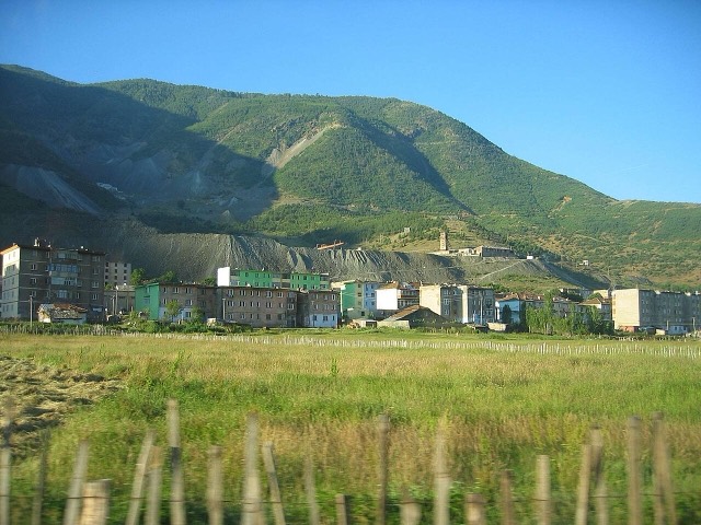
Localidad · Dibër
A chromium mining town — Albania is among the world's larger chrome producers.
Cordillera · Shkodër
The limestone wall of the far north — locally the Accursed Mountains — shared with Montenegro and Kosovo.
¿Algo incorrecto en esta página? Las correcciones son bienvenidas y se contrastan con el registro fuente. Indíquenos qué es incorrecto y, si puede, de dónde procede el dato correcto.