Schutzgebiet · Dibër
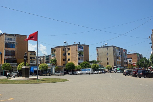
Lurë-Dejë Mountain National Park
A cluster of small glacial lakes among black pine on the Lurë ridge, badly damaged by logging and slowly recovering.
Jeder Kreis, jede Küste, jedes Jahrhundert
Geführte Ansicht
Neu in Albanien? Jede Seite beginnt mit einer einfachen Erklärung, die auch ein Zehnjähriger verstehen würde – bevor es ins Detail geht.
Expertenansicht
Sie kennen die Grundlagen bereits. Direkt zur Substanz, ohne die vereinfachten Erklärungen. Dies ist die Standardeinstellung.
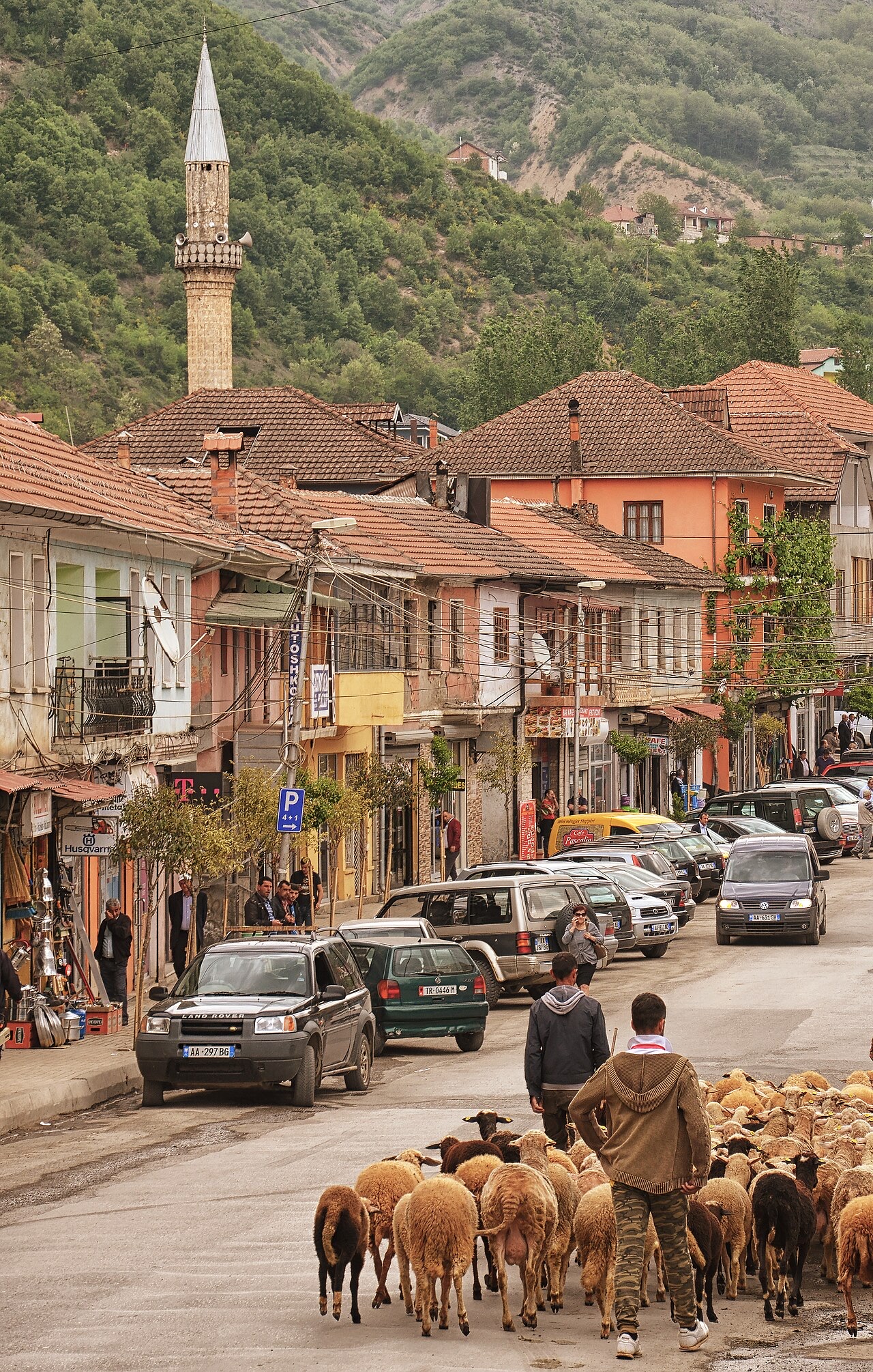
Kleinstadt · Dibër County
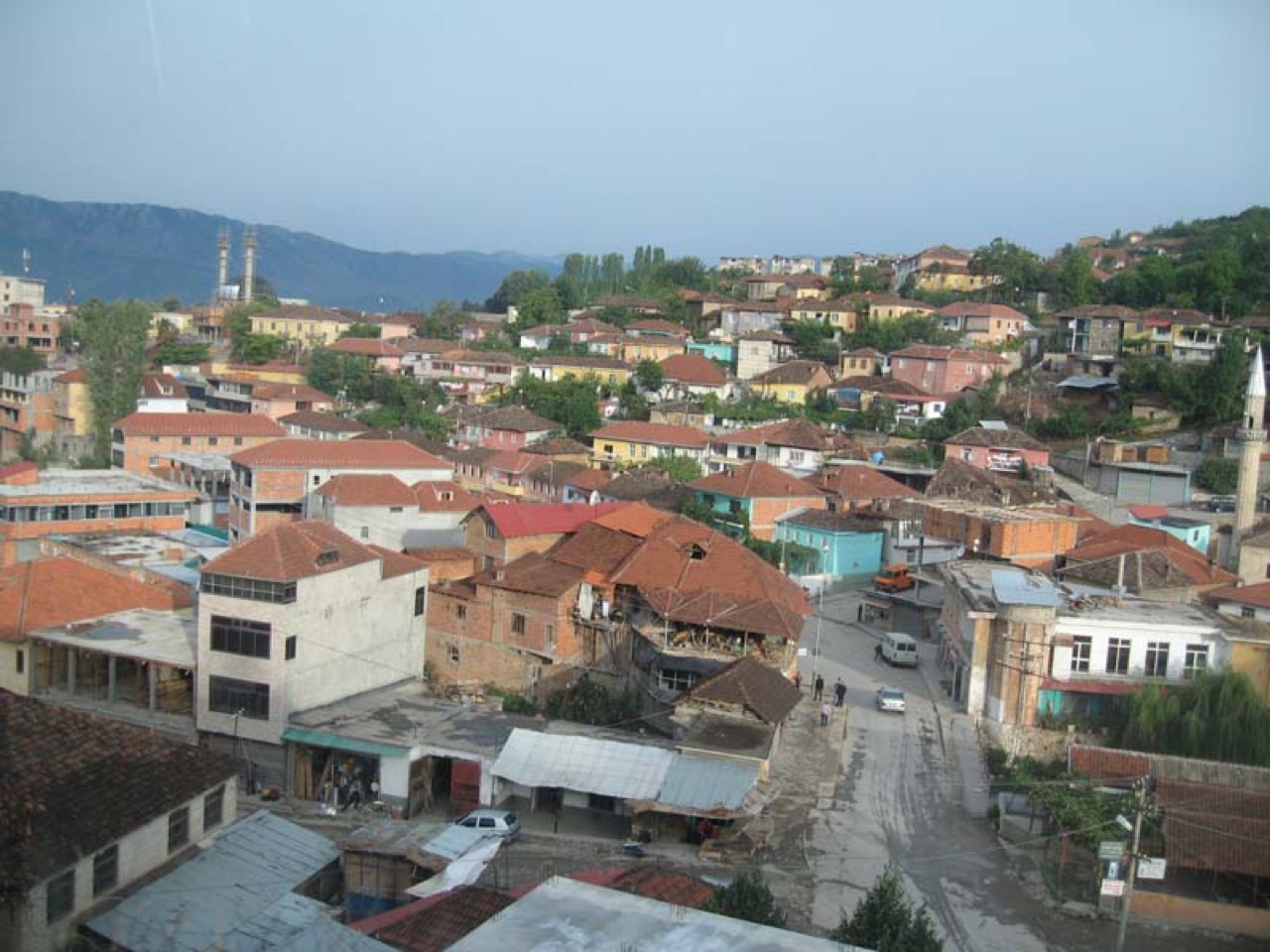
The seat of Dibër County, known for thermal springs and the high pastures below Mount Korab.
Speichern
Peshkopi is a town in the eastern mountains. It has hot springs that people bathe in for their health. Albania's highest mountain, Korab, is nearby on the border with North Macedonia.
Peshkopi is a town in the eastern mountains. It has hot springs that people bathe in for their health. Albania's highest mountain, Korab, is nearby on the border with North Macedonia.
Der wärmste Monat ist August (mittleres tägliches Maximum 28°C), der kälteste ist January (mittleres tägliches Minimum -3°C), und der regenreichste ist December (131 mm). Der mittlere jährliche Gesamtniederschlag beträgt 1,110 mm.
| Monat | Maximum | Minimum | Niederschlag | Regentage | Sonne/Tag |
|---|---|---|---|---|---|
| January | 5°C | -3°C | 116 mm | 11 | 6.5 h |
| February | 6°C | -2°C | 99 mm | 11 | 7.6 h |
| March | 10°C | 1°C | 104 mm | 12 | 9.0 h |
| April | 15°C | 6°C | 105 mm | 15 | 10.1 h |
| May | 20°C | 11°C | 100 mm | 15 | 11.4 h |
| June | 24°C | 15°C | 64 mm | 11 | 13.3 h |
| July | 27°C | 17°C | 50 mm | 8 | 13.4 h |
| August | 28°C | 17°C | 45 mm | 8 | 12.5 h |
| September | 22°C | 13°C | 83 mm | 10 | 10.2 h |
| October | 18°C | 9°C | 87 mm | 9 | 8.5 h |
| November | 12°C | 4°C | 126 mm | 11 | 6.7 h |
| December | 6°C | -1°C | 131 mm | 12 | 5.9 h |
Quelle: ERA5 reanalysis via Open-Meteo, 1994–2023 · „Maximum" und „Minimum" sind das mittlere tägliche Temperaturmaximum bzw. -minimum. „Regentage" zählt Tage mit mindestens 1 mm Niederschlag.
Schutzgebiet · Dibër
A cluster of small glacial lakes among black pine on the Lurë ridge, badly damaged by logging and slowly recovering.
Kleinstadt · Dibër
The seat of Mat municipality in the central highlands, near the Mat river dams.
Berg · Dibër
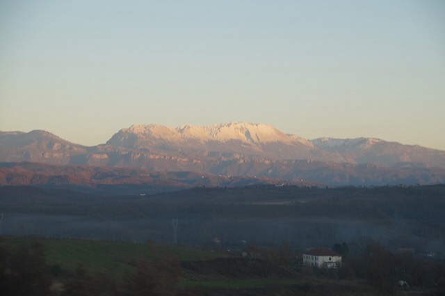
At 2,764 m the highest point in both Albania and North Macedonia, on the border ridge.
Kleinstadt · Dibër
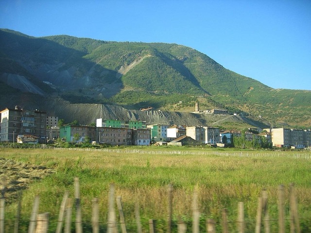
A chromium mining town — Albania is among the world's larger chrome producers.
Gebirge · Shkodër
The limestone wall of the far north — locally the Accursed Mountains — shared with Montenegro and Kosovo.
Etwas falsch auf dieser Seite? Korrekturen sind willkommen und werden gegen den Quelldatensatz geprüft. Bitte mitteilen, was falsch ist und, wenn möglich, woher die richtige Angabe stammt.