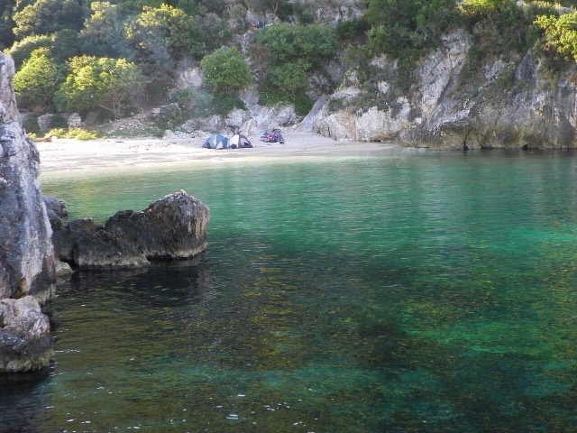
Stad · Vlorë
Vlorë
Where the Adriatic meets the Ionian, and where Albanian independence was declared in 1912.
Elke provincie, elke kust, elke eeuw
Begeleidende weergave
Nieuw in Albanië? Elke pagina begint met een uitleg in eenvoudige taal die u aan een tienjarige zou kunnen voorlezen, voordat de details beginnen.
Expertweergave
U kent de basis al. Meteen naar de kern, met de eenvoudige uitleg verborgen. Dit is de standaardinstelling.
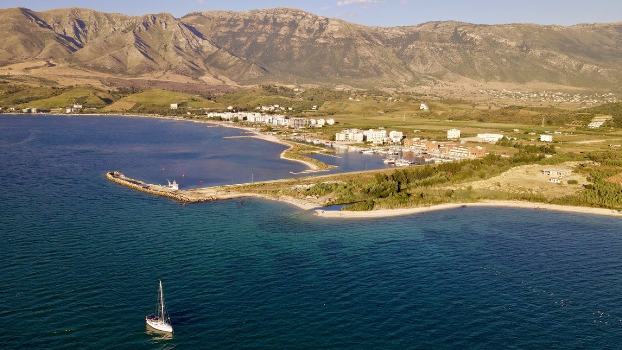
Plaats · Vlorë County
A marina town at the foot of Llogara, beside the ancient harbour of Oricum.
Opslaan
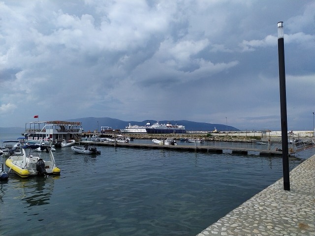
Orikum is a small town on the bay south of Vlorë, where the Riviera road starts climbing. There was an ancient port here that Julius Caesar used during a Roman civil war.
Orikum is a small town on the bay south of Vlorë, where the Riviera road starts climbing. There was an ancient port here that Julius Caesar used during a Roman civil war.
De warmste maand is August (gemiddeld dagelijks maximum 31°C), de koudste is January (gemiddeld dagelijks minimum 7°C), en de natste is November (156 mm). De gemiddelde jaarlijkse neerslag bedraagt 1,107 mm. De zeetemperatuur bereikt een piek in augustus van ongeveer 25°C.
| Maand | Maximum | Minimum | Neerslag | Natte dagen | Zon/dag | Zee |
|---|---|---|---|---|---|---|
| January | 12°C | 7°C | 113 mm | 12 | 7.4 h | 17°C |
| February | 13°C | 7°C | 103 mm | 11 | 8.3 h | 15°C |
| March | 16°C | 8°C | 104 mm | 11 | 9.8 h | 15°C |
| April | 19°C | 11°C | 86 mm | 12 | 11.0 h | 16°C |
| May | 23°C | 16°C | 67 mm | 9 | 12.2 h | 18°C |
| June | 28°C | 20°C | 42 mm | 6 | 13.6 h | 22°C |
| July | 31°C | 22°C | 26 mm | 5 | 13.8 h | 24°C |
| August | 31°C | 23°C | 32 mm | 6 | 12.9 h | 25°C |
| September | 26°C | 19°C | 104 mm | 10 | 10.8 h | 25°C |
| October | 22°C | 16°C | 127 mm | 10 | 9.3 h | 25°C |
| November | 18°C | 12°C | 156 mm | 13 | 7.4 h | 21°C |
| December | 14°C | 8°C | 146 mm | 13 | 6.8 h | 18°C |
Bron: ERA5 reanalysis via Open-Meteo, 1994–2023 · "Maximum" en "Minimum" zijn het gemiddelde dagelijkse maximum en minimum van de luchttemperatuur. "Natte dagen" telt dagen met ten minste 1 mm neerslag.
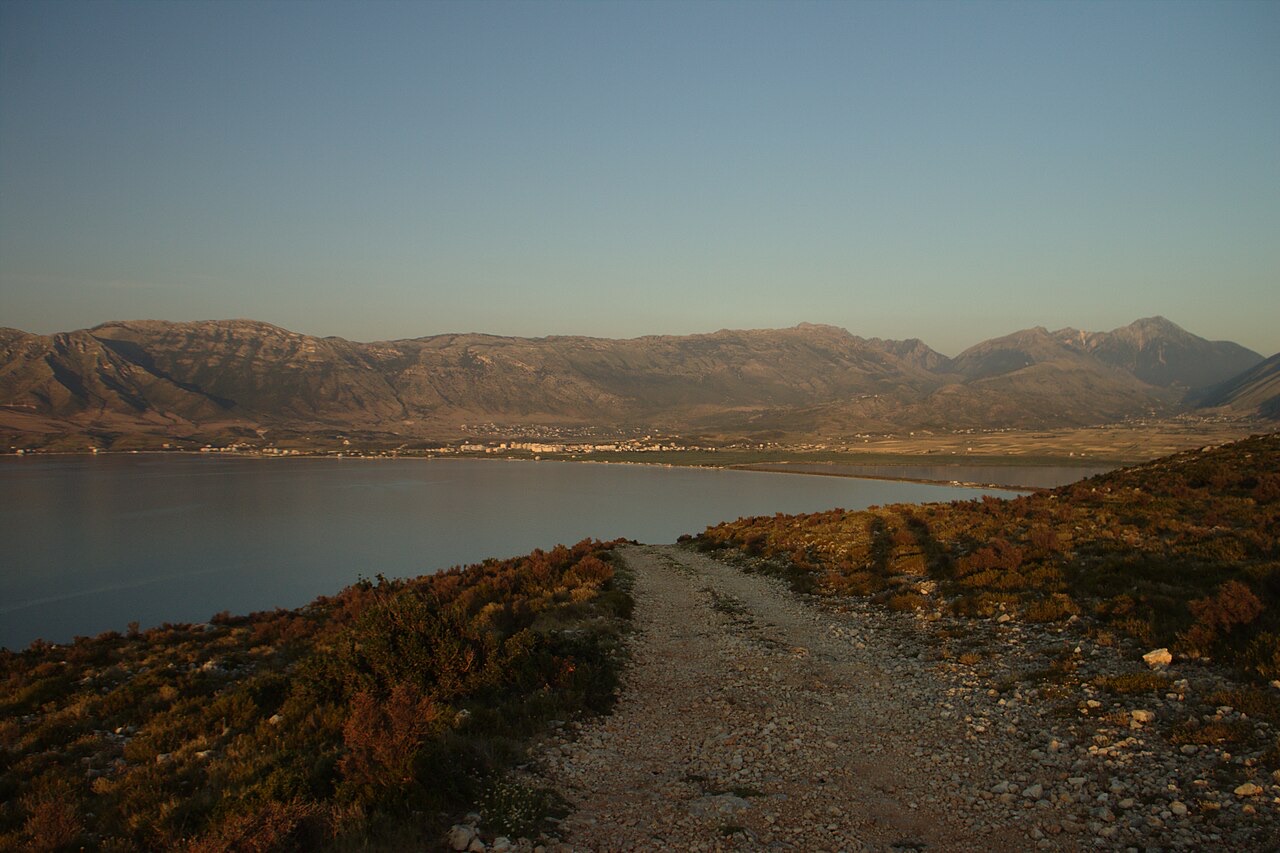
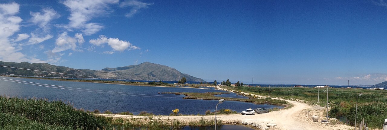
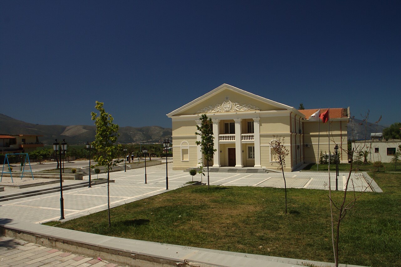
Stad · Vlorë
Where the Adriatic meets the Ionian, and where Albanian independence was declared in 1912.
Beschermd gebied · Vlorë
Albania's only marine national park: sea caves, wrecks and the country's clearest water.
Beschermd gebied · Vlorë
A pine-forested pass at 1,027 m where the road drops from mountain forest to the Ionian in a few kilometres.
Onderwerp · Vlorë
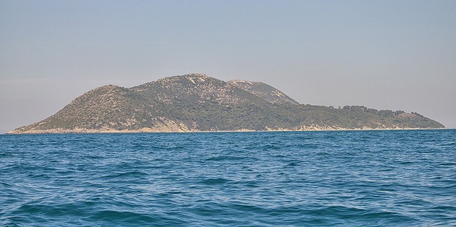
Albania's largest island: a former Italian and then Soviet-era military base at the mouth of the Bay of Vlorë.
Strand · Vlorë
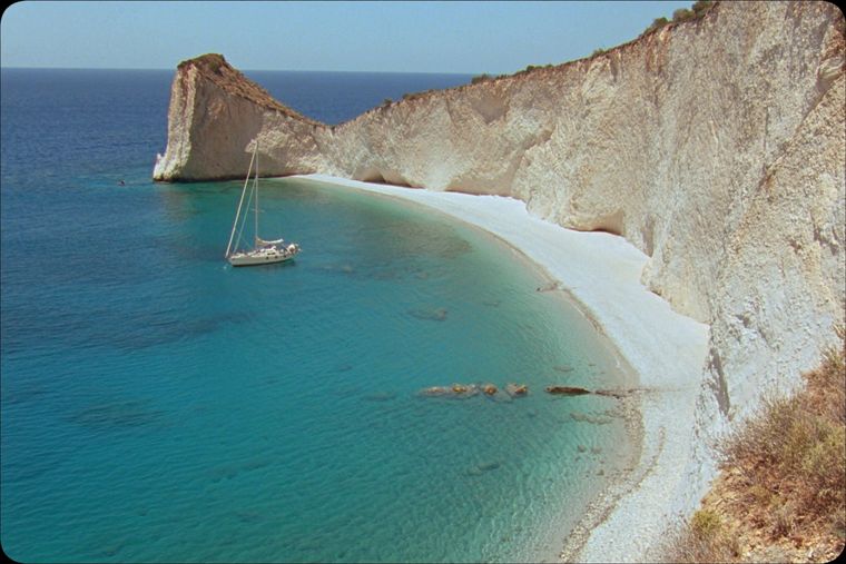
A remote bay on the Karaburun peninsula whose cliffs carry Greek and Latin inscriptions cut by ancient sailors.
Strand · Vlorë
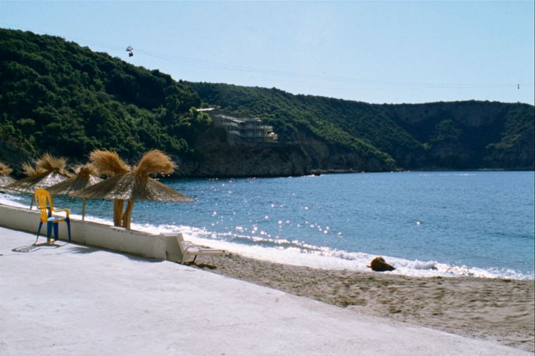
The sheltered eastern shore of the Bay of Vlorë, facing the Karaburun peninsula.
Onderwerp · Vlorë
Albania's largest uninhabited peninsula, closed to the public for most of the 20th century and now a marine park.
Historische periode
Corinthian and Corcyraean foundations at Epidamnos, Apollonia and Orikum along the coast.
Iets onjuist op deze pagina? Correcties zijn welkom en worden gecontroleerd aan de hand van de bronregistratie. Laat ons weten wat onjuist is en, indien mogelijk, waar het juiste cijfer vandaan komt.