도시 · Vlorë
Vlorë
Where the Adriatic meets the Ionian, and where Albanian independence was declared in 1912.
모든 주, 모든 해안, 모든 세기
안내 보기
알바니아가 처음이신가요? 모든 페이지는 세부 내용이 시작되기 전에, 열 살짜리 아이도 이해할 수 있는 평이한 설명으로 시작됩니다.
전문가 보기
기본 내용은 이미 알고 계신가요? 간단한 설명은 숨기고 핵심 내용만 바로 확인하세요. 이것이 기본 설정입니다.
소도시 · Vlorë County
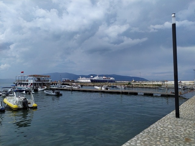
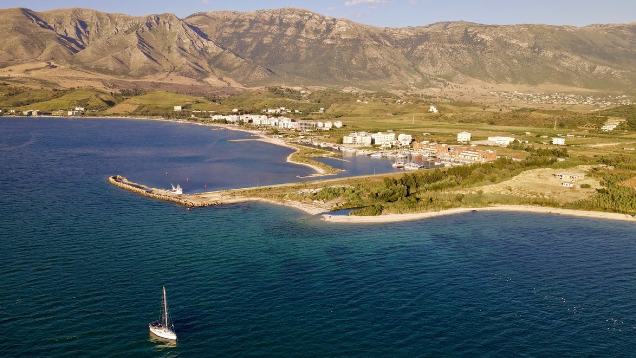
A marina town at the foot of Llogara, beside the ancient harbour of Oricum.
저장
Orikum is a small town on the bay south of Vlorë, where the Riviera road starts climbing. There was an ancient port here that Julius Caesar used during a Roman civil war.
Orikum is a small town on the bay south of Vlorë, where the Riviera road starts climbing. There was an ancient port here that Julius Caesar used during a Roman civil war.
가장 더운 달은 August (일 최고 기온 평균 31°C), 가장 추운 달은 January (일 최저 기온 평균 7°C), 가장 강수량이 많은 달은 November (156 mm). 연평균 강수량은 1,107 mm. 해수 온도는 8월에 약 25°C.
| 월 | 최고 | 최저 | 강수량 | 강수일 | 일조 시간 | 해수 온도 |
|---|---|---|---|---|---|---|
| January | 12°C | 7°C | 113 mm | 12 | 7.4 h | 17°C |
| February | 13°C | 7°C | 103 mm | 11 | 8.3 h | 15°C |
| March | 16°C | 8°C | 104 mm | 11 | 9.8 h | 15°C |
| April | 19°C | 11°C | 86 mm | 12 | 11.0 h | 16°C |
| May | 23°C | 16°C | 67 mm | 9 | 12.2 h | 18°C |
| June | 28°C | 20°C | 42 mm | 6 | 13.6 h | 22°C |
| July | 31°C | 22°C | 26 mm | 5 | 13.8 h | 24°C |
| August | 31°C | 23°C | 32 mm | 6 | 12.9 h | 25°C |
| September | 26°C | 19°C | 104 mm | 10 | 10.8 h | 25°C |
| October | 22°C | 16°C | 127 mm | 10 | 9.3 h | 25°C |
| November | 18°C | 12°C | 156 mm | 13 | 7.4 h | 21°C |
| December | 14°C | 8°C | 146 mm | 13 | 6.8 h | 18°C |
출처: ERA5 reanalysis via Open-Meteo, 1994–2023 · "최고" 및 "최저"는 일 최고·최저 기온의 평균값입니다. "강수일"은 강수량이 1mm 이상인 날의 수입니다.
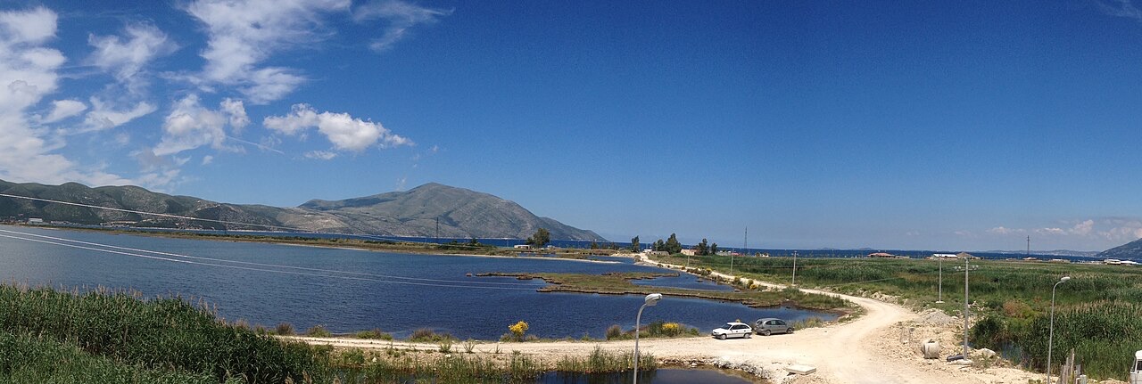
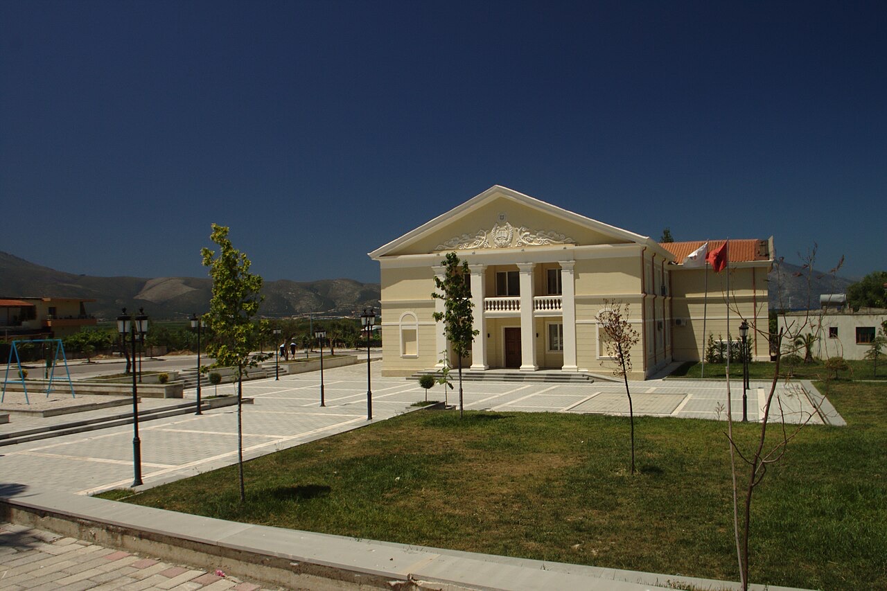
도시 · Vlorë
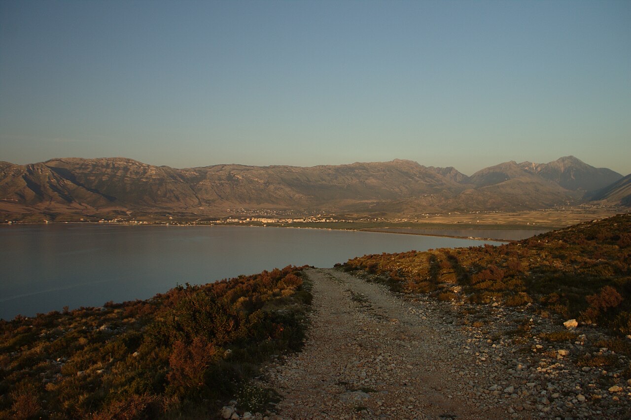
Where the Adriatic meets the Ionian, and where Albanian independence was declared in 1912.
보호 구역 · Vlorë
Albania's only marine national park: sea caves, wrecks and the country's clearest water.
보호 구역 · Vlorë
A pine-forested pass at 1,027 m where the road drops from mountain forest to the Ionian in a few kilometres.
제목 · Vlorë
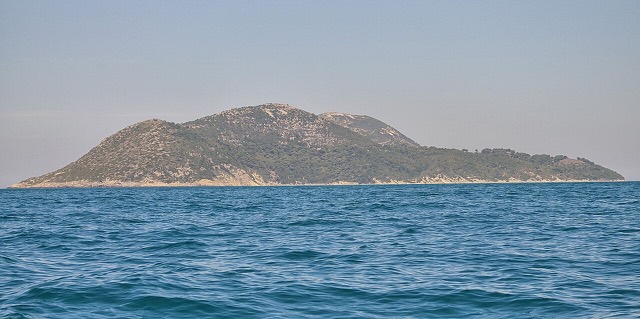
Albania's largest island: a former Italian and then Soviet-era military base at the mouth of the Bay of Vlorë.
해변 · Vlorë
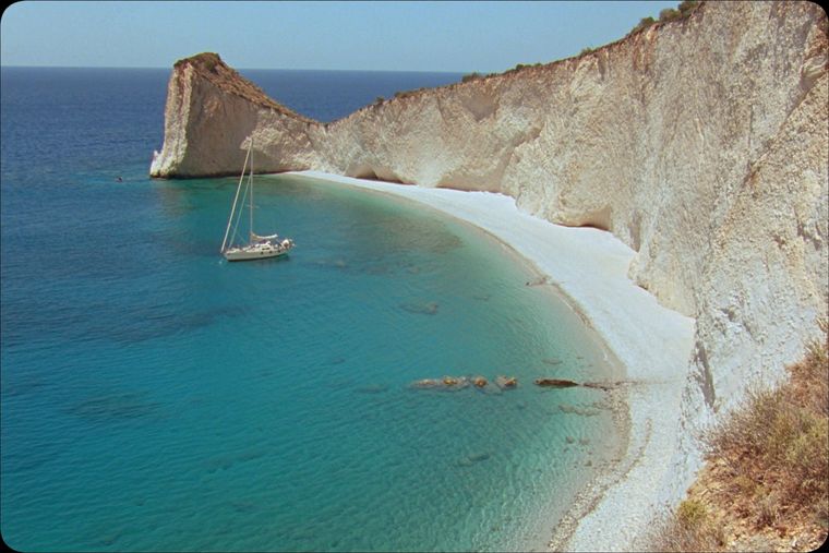
A remote bay on the Karaburun peninsula whose cliffs carry Greek and Latin inscriptions cut by ancient sailors.
해변 · Vlorë
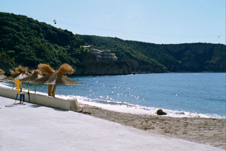
The sheltered eastern shore of the Bay of Vlorë, facing the Karaburun peninsula.
제목 · Vlorë
Albania's largest uninhabited peninsula, closed to the public for most of the 20th century and now a marine park.
역사적 시기
Corinthian and Corcyraean foundations at Epidamnos, Apollonia and Orikum along the coast.
이 페이지에 오류가 있습니까? 수정 제안을 환영하며, 출처 기록과 대조하여 검토합니다. 잘못된 내용과 가능하다면 올바른 수치의 출처를 알려 주십시오.