都市 · Vlorë
Vlorë
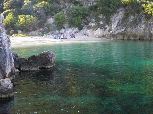
Where the Adriatic meets the Ionian, and where Albanian independence was declared in 1912.
すべての県、すべての海岸、すべての世紀
ガイドビュー
アルバニアを初めて知る方へ。各ページは、詳細に入る前に、10歳の子どもにも読み聞かせられる平易な説明から始まります。
エキスパートビュー
基本知識はすでにお持ちの方向け。平易な説明を非表示にし、内容を直接表示します。これがデフォルトです。
町 · Vlorë County
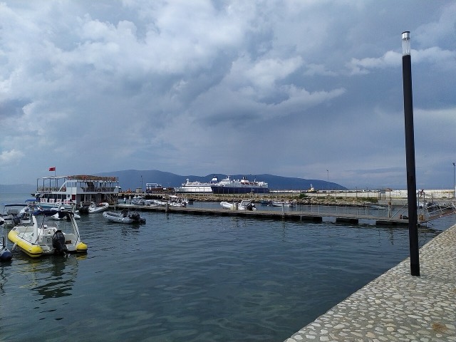
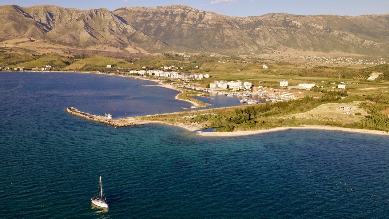
A marina town at the foot of Llogara, beside the ancient harbour of Oricum.
保存
Orikum is a small town on the bay south of Vlorë, where the Riviera road starts climbing. There was an ancient port here that Julius Caesar used during a Roman civil war.
Orikum is a small town on the bay south of Vlorë, where the Riviera road starts climbing. There was an ancient port here that Julius Caesar used during a Roman civil war.
最も暖かい月は August (日中の平均最高気温 31°C), 最も寒い月は January (夜間の平均最低気温 7°C), 最も雨が多い月は November (156 mm). 年間総降水量の平均は 1,107 mm. 海水温は8月にピークを迎え、約 25°C.
| 月 | 最高気温 | 最低気温 | 降水量 | 降水日数 | 日照時間/日 | 海水温 |
|---|---|---|---|---|---|---|
| January | 12°C | 7°C | 113 mm | 12 | 7.4 h | 17°C |
| February | 13°C | 7°C | 103 mm | 11 | 8.3 h | 15°C |
| March | 16°C | 8°C | 104 mm | 11 | 9.8 h | 15°C |
| April | 19°C | 11°C | 86 mm | 12 | 11.0 h | 16°C |
| May | 23°C | 16°C | 67 mm | 9 | 12.2 h | 18°C |
| June | 28°C | 20°C | 42 mm | 6 | 13.6 h | 22°C |
| July | 31°C | 22°C | 26 mm | 5 | 13.8 h | 24°C |
| August | 31°C | 23°C | 32 mm | 6 | 12.9 h | 25°C |
| September | 26°C | 19°C | 104 mm | 10 | 10.8 h | 25°C |
| October | 22°C | 16°C | 127 mm | 10 | 9.3 h | 25°C |
| November | 18°C | 12°C | 156 mm | 13 | 7.4 h | 21°C |
| December | 14°C | 8°C | 146 mm | 13 | 6.8 h | 18°C |
出典: ERA5 reanalysis via Open-Meteo, 1994–2023 · 「最高気温」および「最低気温」は日平均最高・最低気温です。「降水日数」は降水量が1mm以上の日数を計上しています。
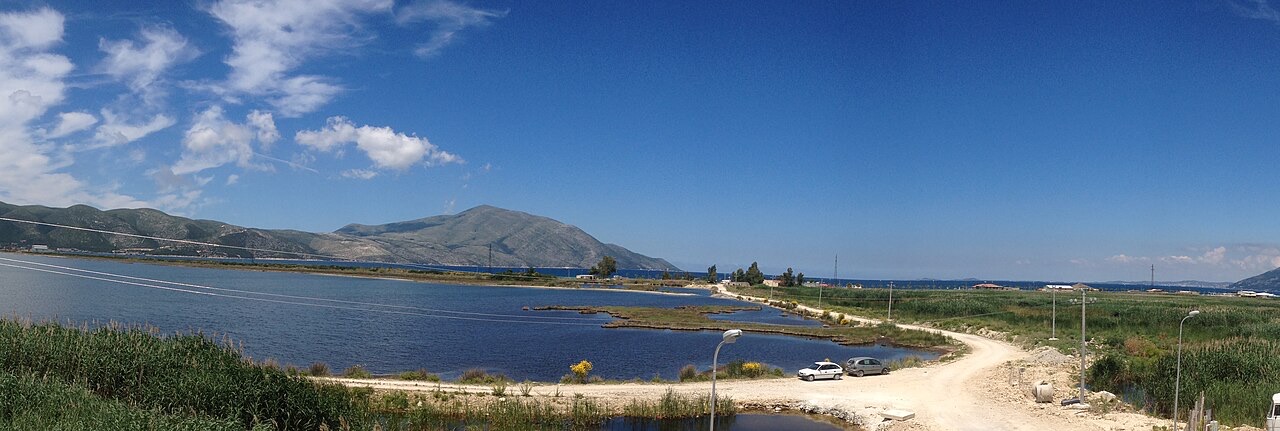
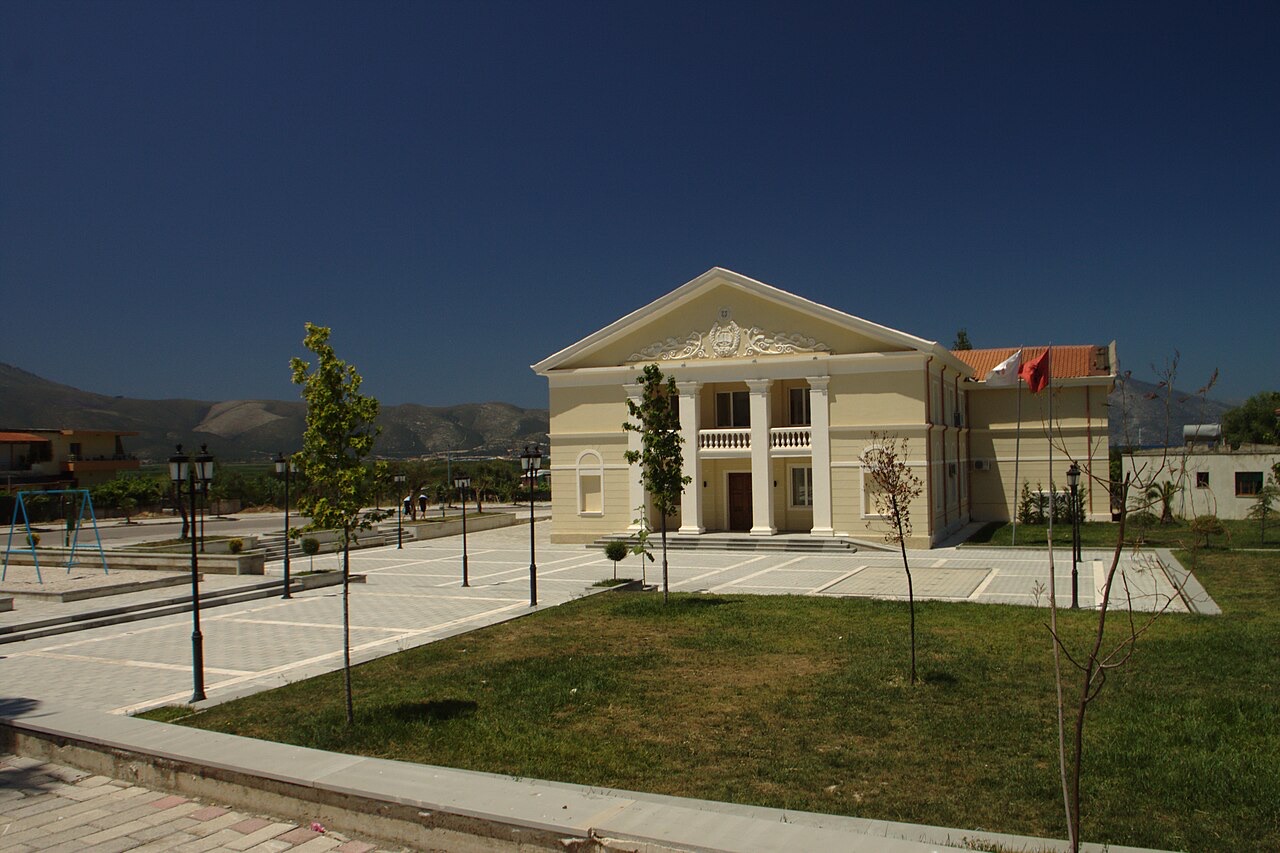
都市 · Vlorë
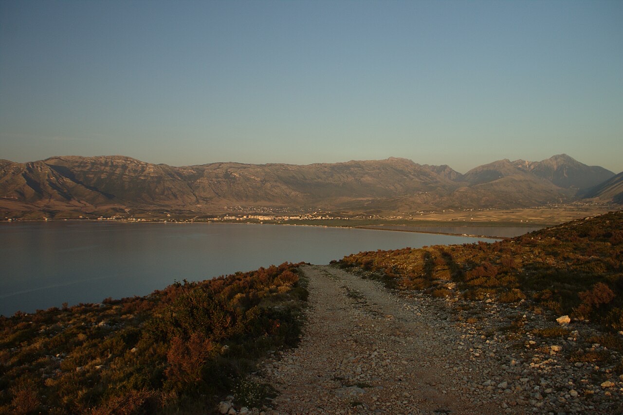
Where the Adriatic meets the Ionian, and where Albanian independence was declared in 1912.
保護区域 · Vlorë
Albania's only marine national park: sea caves, wrecks and the country's clearest water.
保護区域 · Vlorë
A pine-forested pass at 1,027 m where the road drops from mountain forest to the Ionian in a few kilometres.
件名 · Vlorë
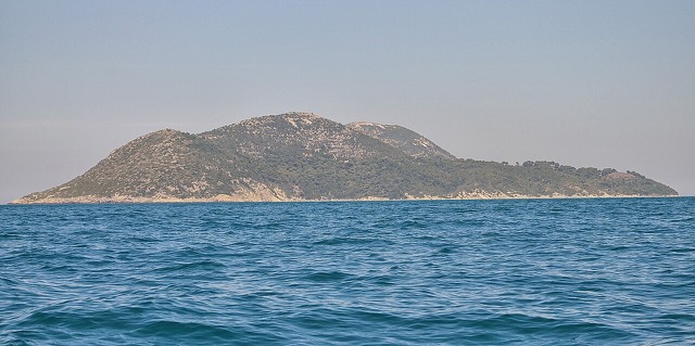
Albania's largest island: a former Italian and then Soviet-era military base at the mouth of the Bay of Vlorë.
ビーチ · Vlorë
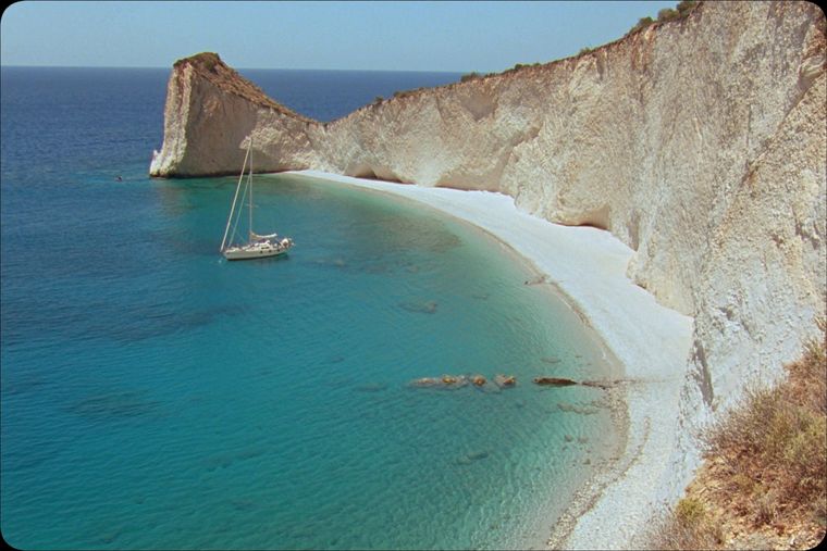
A remote bay on the Karaburun peninsula whose cliffs carry Greek and Latin inscriptions cut by ancient sailors.
ビーチ · Vlorë
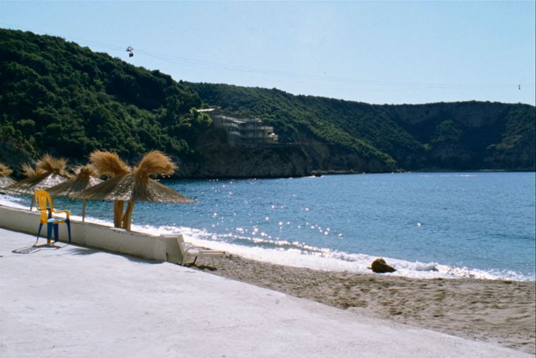
The sheltered eastern shore of the Bay of Vlorë, facing the Karaburun peninsula.
件名 · Vlorë
Albania's largest uninhabited peninsula, closed to the public for most of the 20th century and now a marine park.
歴史的時代
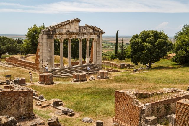
Corinthian and Corcyraean foundations at Epidamnos, Apollonia and Orikum along the coast.
このページに誤りがありますか? 修正は歓迎しており、原典記録と照合して確認します。何が誤っているか、また可能であれば正しい数値の出典をお知らせください。