Kota besar · Vlorë
Vlorë
Where the Adriatic meets the Ionian, and where Albanian independence was declared in 1912.
Setiap kabupaten, pantai, dan abad
Tampilan terpandu
Baru mengenal Albania? Setiap halaman dibuka dengan penjelasan dalam bahasa sederhana yang dapat dibaca oleh anak usia sepuluh tahun, sebelum detail lebih lanjut dimulai.
Tampilan ahli
Anda sudah mengetahui dasar-dasarnya. Langsung ke inti pembahasan, dengan penjelasan sederhana yang disembunyikan. Ini adalah tampilan default.
Kota · Vlorë County
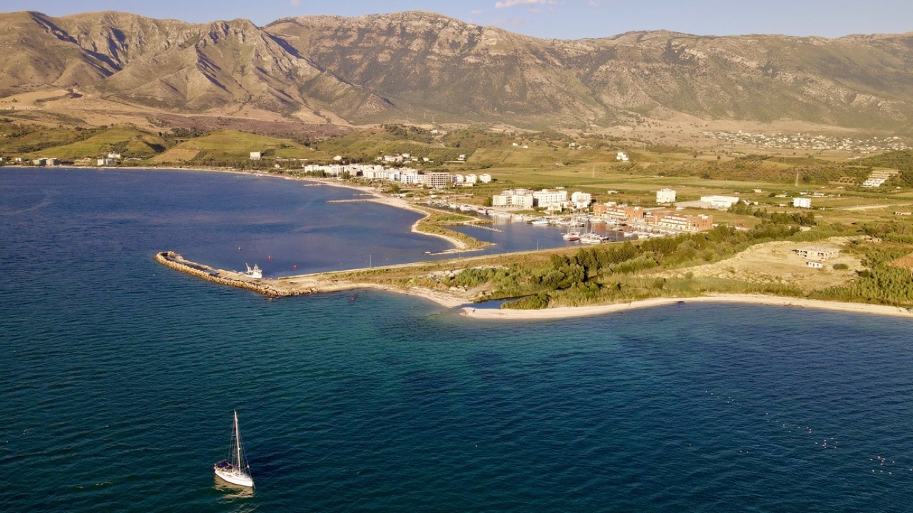
A marina town at the foot of Llogara, beside the ancient harbour of Oricum.
Simpan
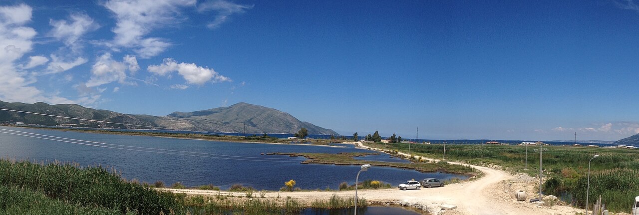
Orikum is a small town on the bay south of Vlorë, where the Riviera road starts climbing. There was an ancient port here that Julius Caesar used during a Roman civil war.
Orikum is a small town on the bay south of Vlorë, where the Riviera road starts climbing. There was an ancient port here that Julius Caesar used during a Roman civil war.
Bulan terhangat adalah August (rata-rata suhu harian tertinggi 31°C), yang terdingin adalah January (rata-rata suhu harian terendah 7°C), dan yang terbasah adalah November (156 mm). Total curah hujan tahunan rata-rata 1,107 mm. Suhu laut mencapai puncaknya pada bulan Agustus sekitar 25°C.
| Bulan | Tertinggi | Terendah | Hujan | Hari hujan | Matahari/hari | Laut |
|---|---|---|---|---|---|---|
| January | 12°C | 7°C | 113 mm | 12 | 7.4 h | 17°C |
| February | 13°C | 7°C | 103 mm | 11 | 8.3 h | 15°C |
| March | 16°C | 8°C | 104 mm | 11 | 9.8 h | 15°C |
| April | 19°C | 11°C | 86 mm | 12 | 11.0 h | 16°C |
| May | 23°C | 16°C | 67 mm | 9 | 12.2 h | 18°C |
| June | 28°C | 20°C | 42 mm | 6 | 13.6 h | 22°C |
| July | 31°C | 22°C | 26 mm | 5 | 13.8 h | 24°C |
| August | 31°C | 23°C | 32 mm | 6 | 12.9 h | 25°C |
| September | 26°C | 19°C | 104 mm | 10 | 10.8 h | 25°C |
| October | 22°C | 16°C | 127 mm | 10 | 9.3 h | 25°C |
| November | 18°C | 12°C | 156 mm | 13 | 7.4 h | 21°C |
| December | 14°C | 8°C | 146 mm | 13 | 6.8 h | 18°C |
Sumber: ERA5 reanalysis via Open-Meteo, 1994–2023 · "Tertinggi" dan "Terendah" adalah rata-rata suhu udara harian maksimum dan minimum. "Hari hujan" menghitung hari dengan curah hujan minimal 1 mm.
Kota besar · Vlorë
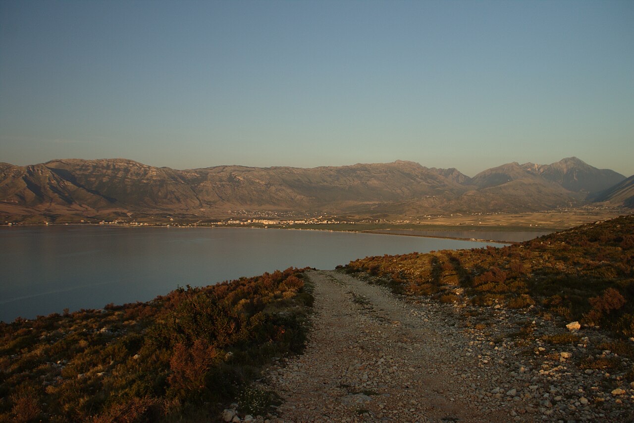
Where the Adriatic meets the Ionian, and where Albanian independence was declared in 1912.
Kawasan lindung · Vlorë
Albania's only marine national park: sea caves, wrecks and the country's clearest water.
Kawasan lindung · Vlorë
A pine-forested pass at 1,027 m where the road drops from mountain forest to the Ionian in a few kilometres.
Subjek · Vlorë
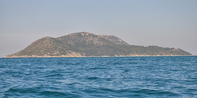
Albania's largest island: a former Italian and then Soviet-era military base at the mouth of the Bay of Vlorë.
Pantai · Vlorë
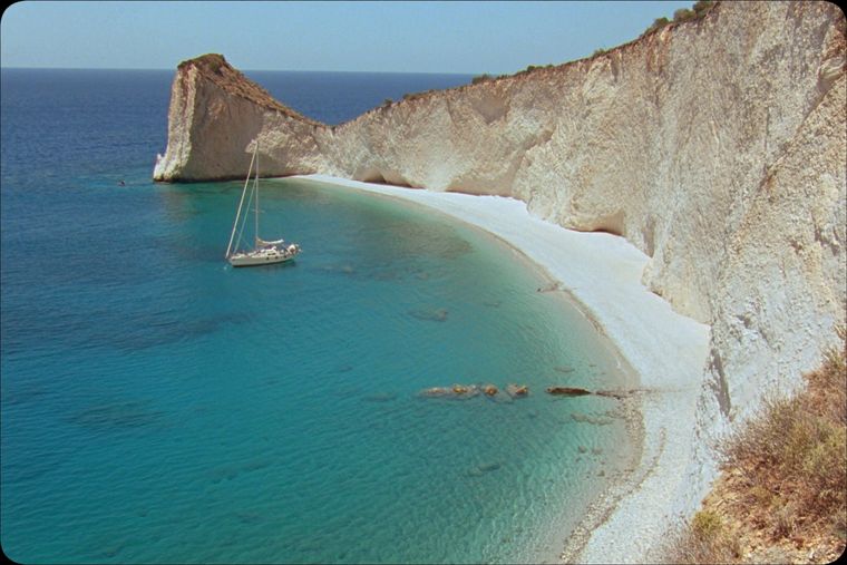
A remote bay on the Karaburun peninsula whose cliffs carry Greek and Latin inscriptions cut by ancient sailors.
Pantai · Vlorë
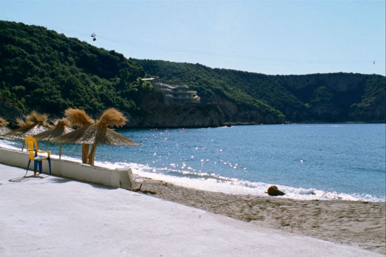
The sheltered eastern shore of the Bay of Vlorë, facing the Karaburun peninsula.
Pelabuhan · Vlorë
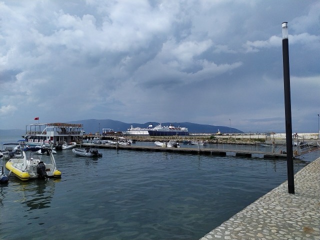
Albania's second passenger port, with a seasonal fast link to Brindisi.
Subjek · Vlorë
Albania's largest uninhabited peninsula, closed to the public for most of the 20th century and now a marine park.
Periode sejarah
Corinthian and Corcyraean foundations at Epidamnos, Apollonia and Orikum along the coast.
Ada yang salah di halaman ini? Koreksi sangat disambut dan akan diperiksa terhadap catatan sumber. Beri tahu kami apa yang salah dan, jika memungkinkan, dari mana angka yang benar berasal.