历史遗址 · Fier
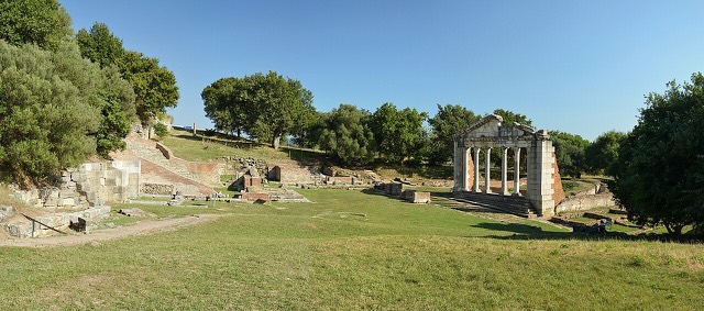
Apollonia
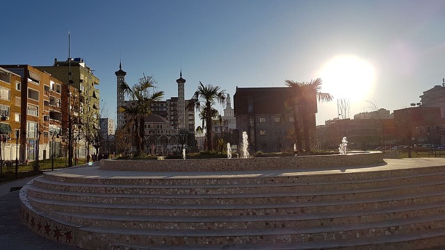
A Corinthian colony that became a Roman university town — Octavian was studying here when Caesar was killed.
每个县、每段海岸、每个世纪
引导视图
初次了解阿尔巴尼亚?每个页面均以通俗易懂的说明开篇——即便是十岁的孩子也能读懂——随后再展开详细内容。
专业视图
您已掌握基础知识。直接进入正题,简明解释默认隐藏。此为默认模式。
城镇 · Fier County
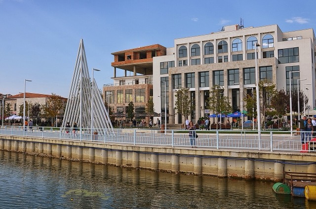
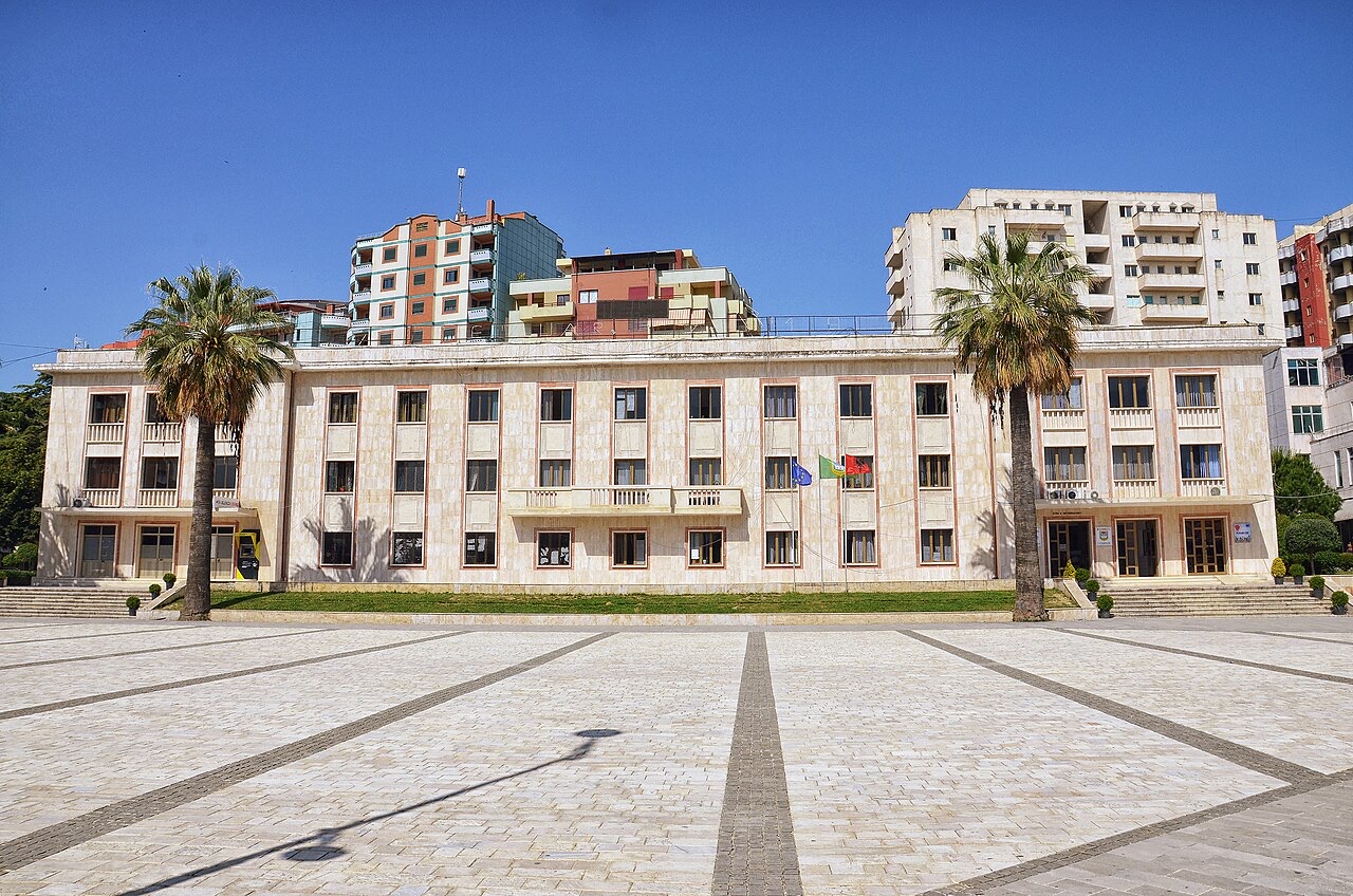
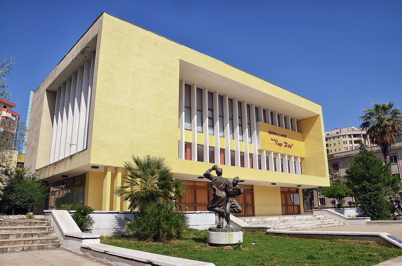
An agricultural centre on the Myzeqe plain, and the site of the 1920 congress that saved Albanian statehood.
保存
Lushnjë is a farming town on Albania's biggest flat plain. In 1920 politicians met here and decided to keep Albania independent and move the capital to Tirana.
Lushnjë is a farming town on Albania's biggest flat plain. In 1920 politicians met here and decided to keep Albania independent and move the capital to Tirana.
历史遗址 · Fier
A Corinthian colony that became a Roman university town — Octavian was studying here when Caesar was killed.
历史遗址 · Fier
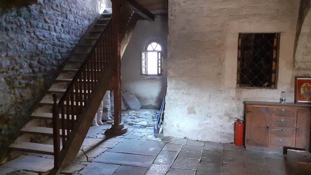
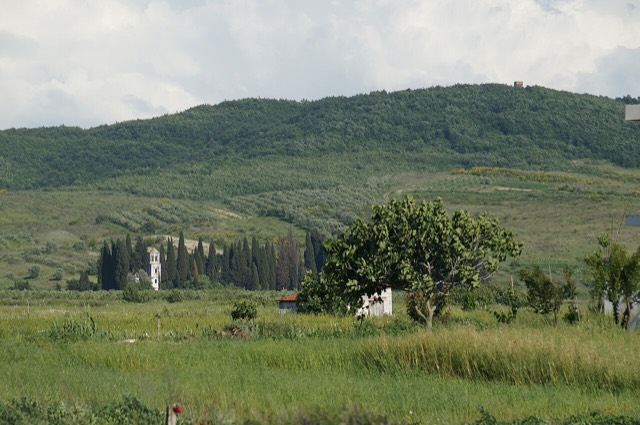
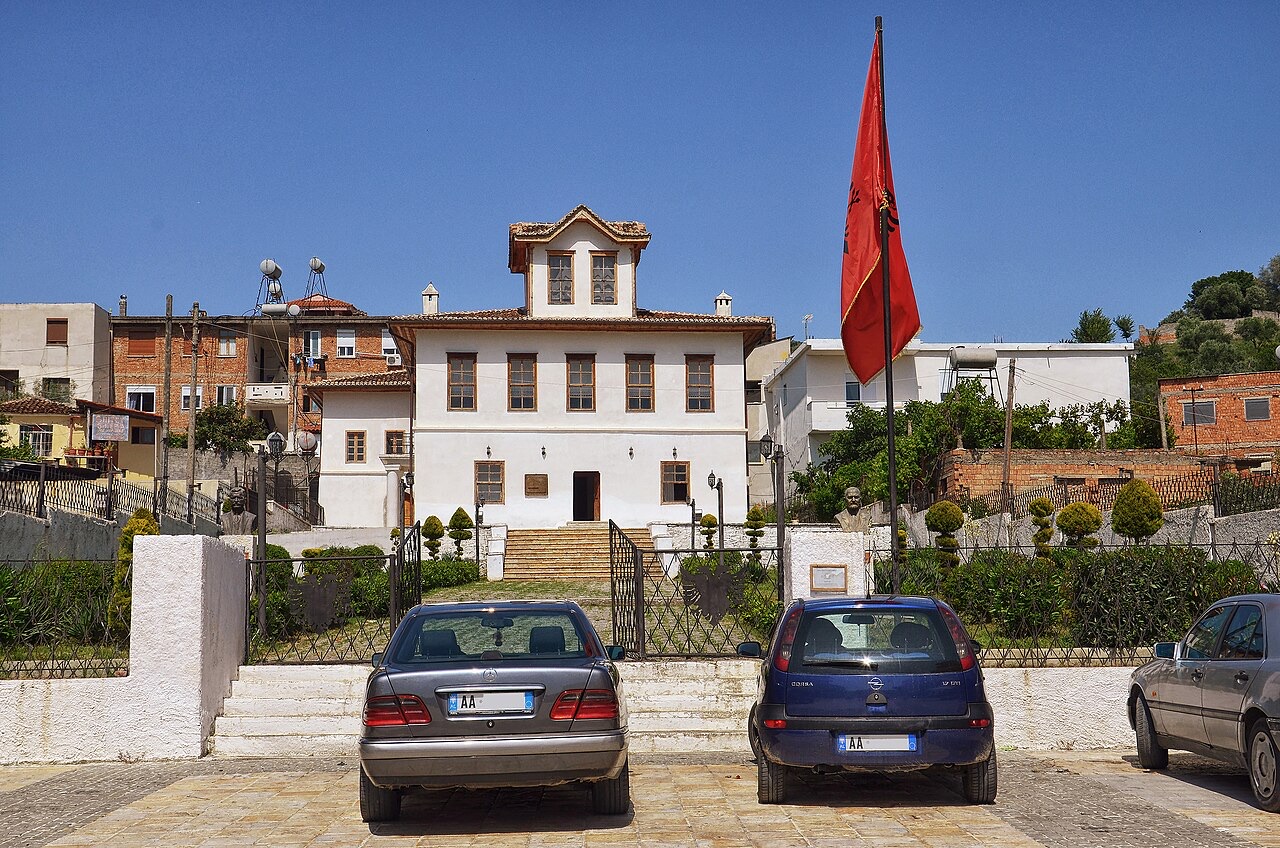
A hilltop monastery on the Myzeqe plain where, by tradition, Skanderbeg was married in 1451.
保护区 · Fier
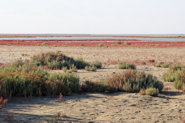
Coastal pine forest, dunes and lagoon protecting the region's Dalmatian pelican colony.
湖泊 · Fier
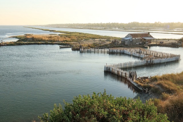
The largest lagoon in Albania and the western Balkans' main breeding site for the Dalmatian pelican.
城镇 · Elbasan
A hill town surrounded by more than eighty small lakes and extensive olive groves.
工业
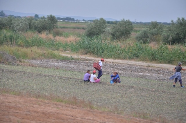
A large share of employment on very small holdings — the legacy of the 1991 land redistribution.
本页内容有误? 欢迎提交更正意见,所有意见均会与原始记录核对。请告知错误所在,如能提供正确数据的出处,请一并注明。