Город · Durrës
Durrës
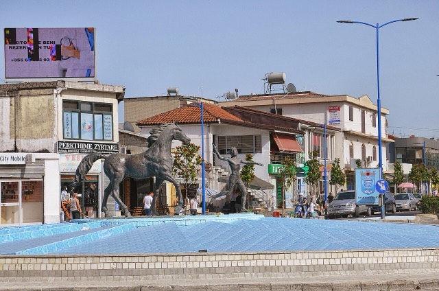
Albania's principal port and its oldest continuously inhabited city, founded as Epidamnos in 627 BC.
Каждый округ, каждый берег, каждый век
Режим с пояснениями
Впервые об Албании? Каждая страница начинается с доступного объяснения, понятного даже десятилетнему ребёнку, и лишь затем переходит к подробностям.
Режим эксперта
Основы вам уже известны. Сразу к существу вопроса, без простых пояснений. Это режим по умолчанию.
Городок · Durrës County
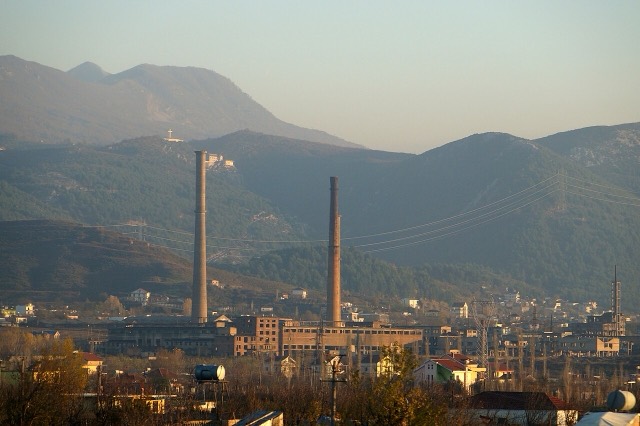
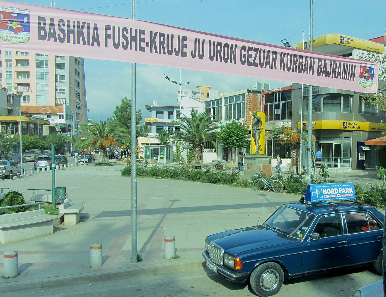
The industrial town on the plain below Krujë, and the site of Albania's largest cement works.
Сохранить
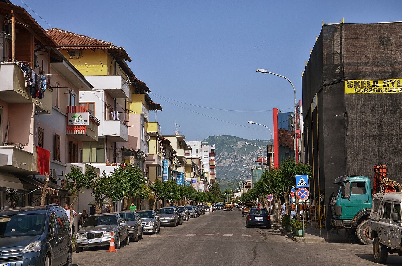
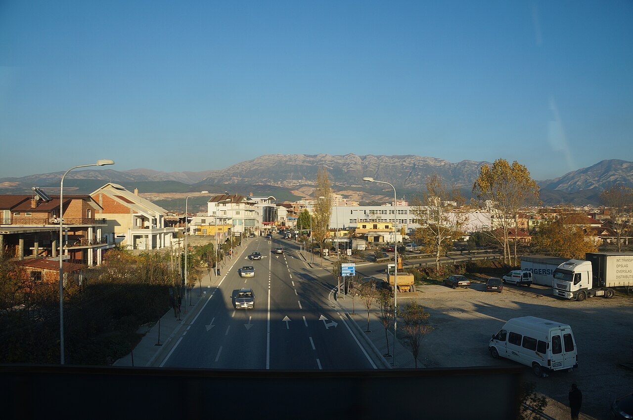
Fushë-Krujë is on the flat land below the castle town of Krujë. It has cement and other factories.
Fushë-Krujë is on the flat land below the castle town of Krujë. It has cement and other factories.
Город · Durrës
Albania's principal port and its oldest continuously inhabited city, founded as Epidamnos in 627 BC.
Городок · Durrës
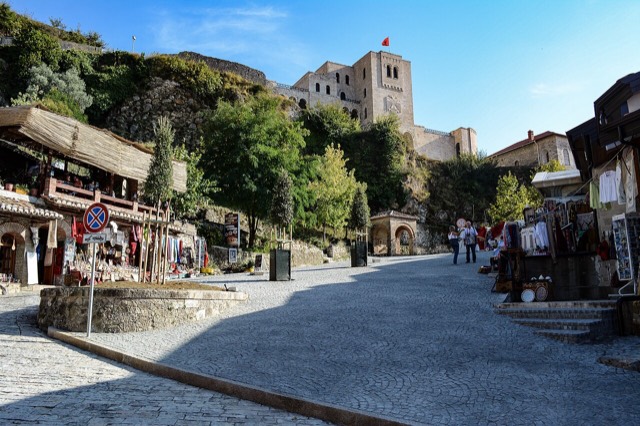
Skanderbeg's mountain stronghold, an old bazaar street, and the national museum of the resistance.
Город · Tiranë
The capital: a fast-changing city of painted blocks, Ottoman survivals and new towers, under Mount Dajti.
Городок · Tiranë
A city on Tirana's northern edge that grew almost entirely from internal migration after 1991.
Городок · Lezhë
An industrial town and the site of the Saint Anthony pilgrimage church at Shëngjin i Vogël.
Компания · Durrës
A large cement plant at Boka e Kuqe near Krujë, built by TITAN Cement.
Нашли ошибку на этой странице? Исправления приветствуются и проверяются по исходной записи. Сообщите нам, что именно неверно, и по возможности укажите, откуда взята правильная цифра.