Stad · Durrës
Durrës
Albania's principal port and its oldest continuously inhabited city, founded as Epidamnos in 627 BC.
Elke provincie, elke kust, elke eeuw
Begeleidende weergave
Nieuw in Albanië? Elke pagina begint met een uitleg in eenvoudige taal die u aan een tienjarige zou kunnen voorlezen, voordat de details beginnen.
Expertweergave
U kent de basis al. Meteen naar de kern, met de eenvoudige uitleg verborgen. Dit is de standaardinstelling.
Plaats · Durrës County
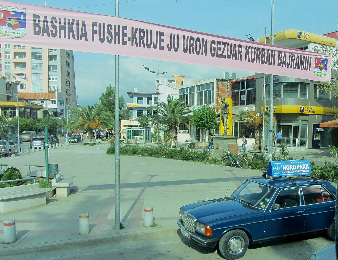
The industrial town on the plain below Krujë, and the site of Albania's largest cement works.
Opslaan
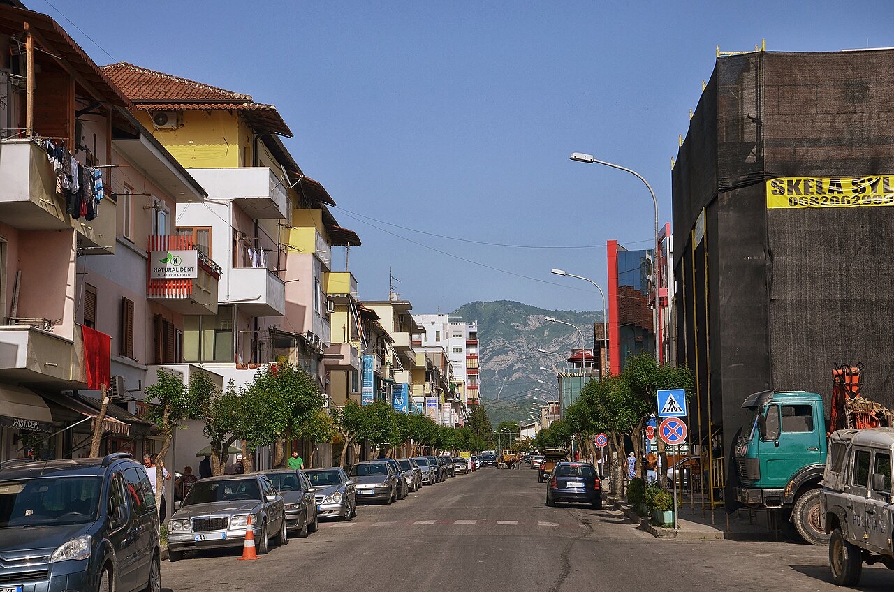
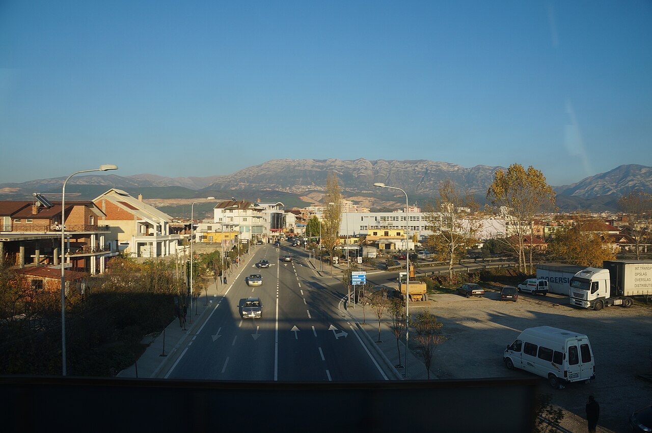
Fushë-Krujë is on the flat land below the castle town of Krujë. It has cement and other factories.
Fushë-Krujë is on the flat land below the castle town of Krujë. It has cement and other factories.
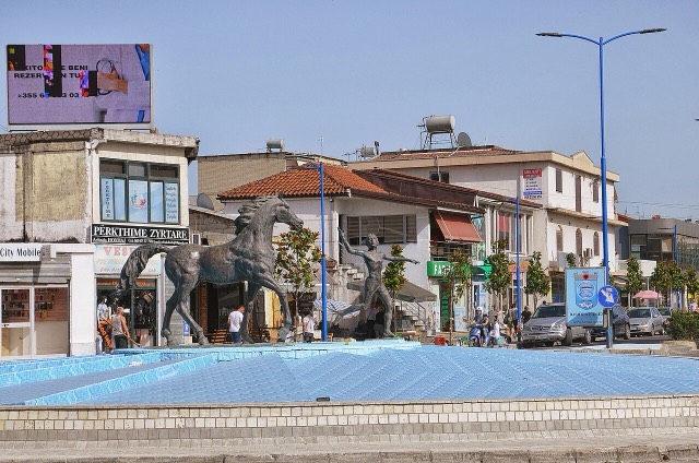
Stad · Durrës
Albania's principal port and its oldest continuously inhabited city, founded as Epidamnos in 627 BC.
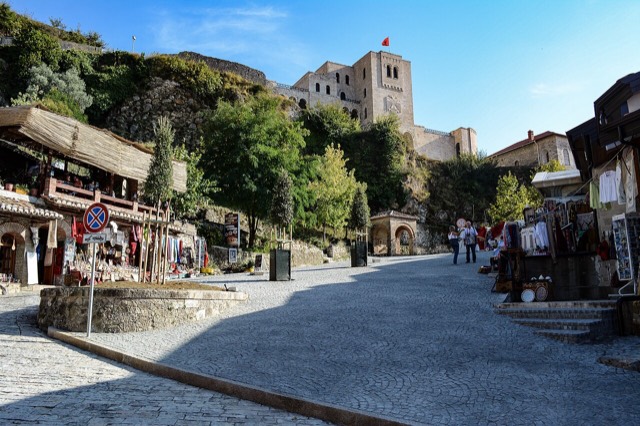
Plaats · Durrës
Skanderbeg's mountain stronghold, an old bazaar street, and the national museum of the resistance.
Stad · Tiranë
The capital: a fast-changing city of painted blocks, Ottoman survivals and new towers, under Mount Dajti.
Plaats · Tiranë
A city on Tirana's northern edge that grew almost entirely from internal migration after 1991.
Plaats · Lezhë
An industrial town and the site of the Saint Anthony pilgrimage church at Shëngjin i Vogël.
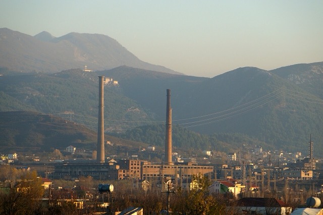
Bedrijf · Durrës
A large cement plant at Boka e Kuqe near Krujë, built by TITAN Cement.
Iets onjuist op deze pagina? Correcties zijn welkom en worden gecontroleerd aan de hand van de bronregistratie. Laat ons weten wat onjuist is en, indien mogelijk, waar het juiste cijfer vandaan komt.