도시 · Durrës
Durrës
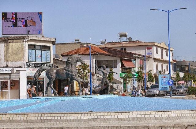
Albania's principal port and its oldest continuously inhabited city, founded as Epidamnos in 627 BC.
모든 주, 모든 해안, 모든 세기
안내 보기
알바니아가 처음이신가요? 모든 페이지는 세부 내용이 시작되기 전에, 열 살짜리 아이도 이해할 수 있는 평이한 설명으로 시작됩니다.
전문가 보기
기본 내용은 이미 알고 계신가요? 간단한 설명은 숨기고 핵심 내용만 바로 확인하세요. 이것이 기본 설정입니다.
소도시 · Durrës County
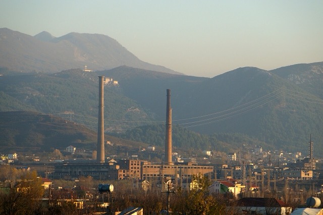
The industrial town on the plain below Krujë, and the site of Albania's largest cement works.
저장
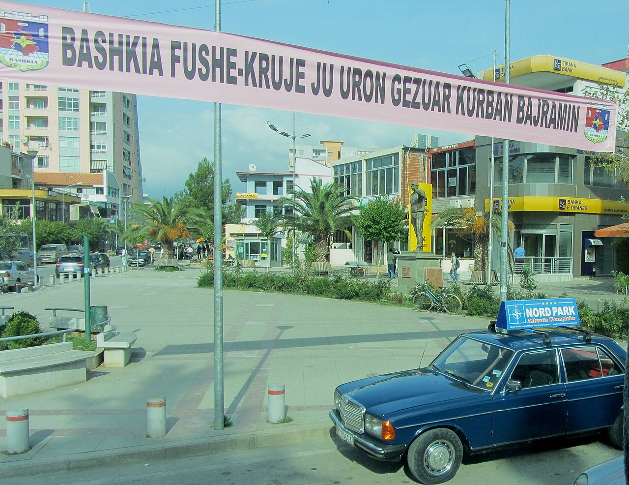
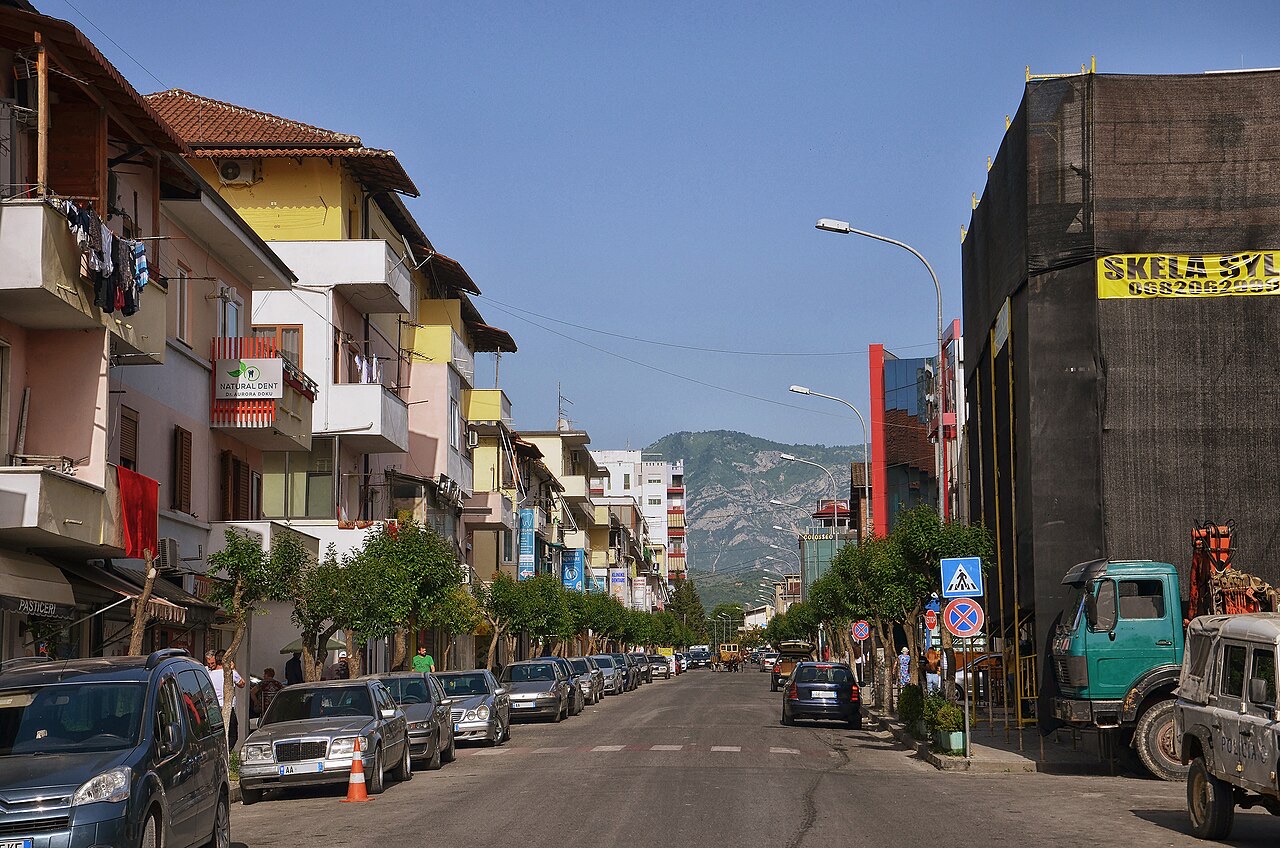
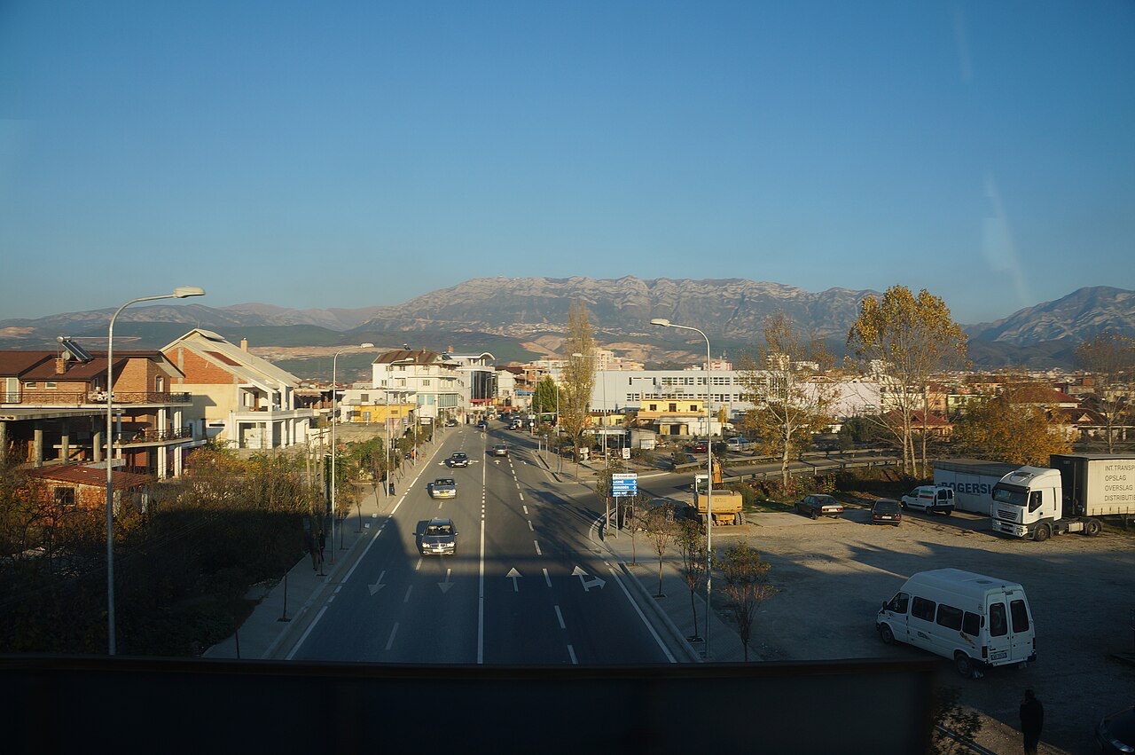
Fushë-Krujë is on the flat land below the castle town of Krujë. It has cement and other factories.
Fushë-Krujë is on the flat land below the castle town of Krujë. It has cement and other factories.
도시 · Durrës
Albania's principal port and its oldest continuously inhabited city, founded as Epidamnos in 627 BC.
소도시 · Durrës
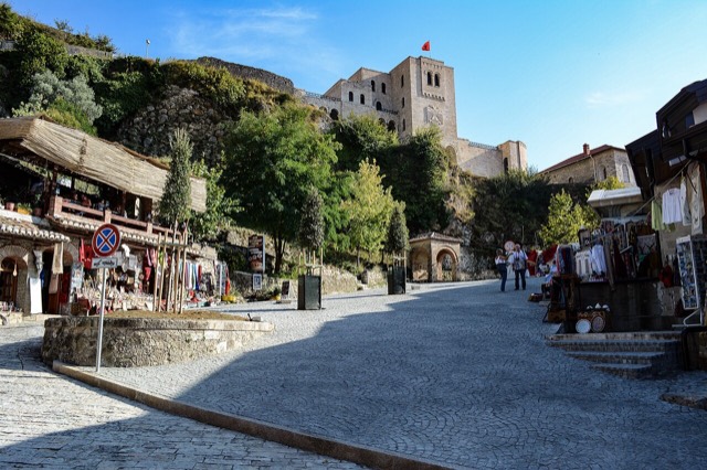
Skanderbeg's mountain stronghold, an old bazaar street, and the national museum of the resistance.
도시 · Tiranë
The capital: a fast-changing city of painted blocks, Ottoman survivals and new towers, under Mount Dajti.
소도시 · Tiranë
A city on Tirana's northern edge that grew almost entirely from internal migration after 1991.
소도시 · Lezhë
An industrial town and the site of the Saint Anthony pilgrimage church at Shëngjin i Vogël.
이 페이지에 오류가 있습니까? 수정 제안을 환영하며, 출처 기록과 대조하여 검토합니다. 잘못된 내용과 가능하다면 올바른 수치의 출처를 알려 주십시오.