City · Durrës
Durrës
Albania's principal port and its oldest continuously inhabited city, founded as Epidamnos in 627 BC.
Every county, coast and century
Guided view
New to Albania? Every page opens with a plain-language explanation you could read to a ten-year-old, before the detail begins.
Expert view
You already know the basics. Straight to the substance, with the simple explanations hidden. This is the default.
Town · Durrës County
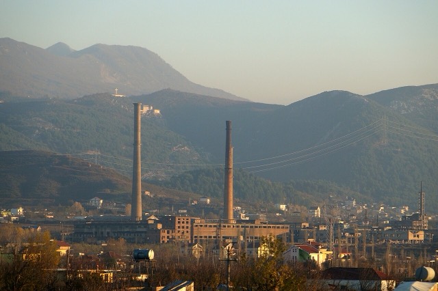
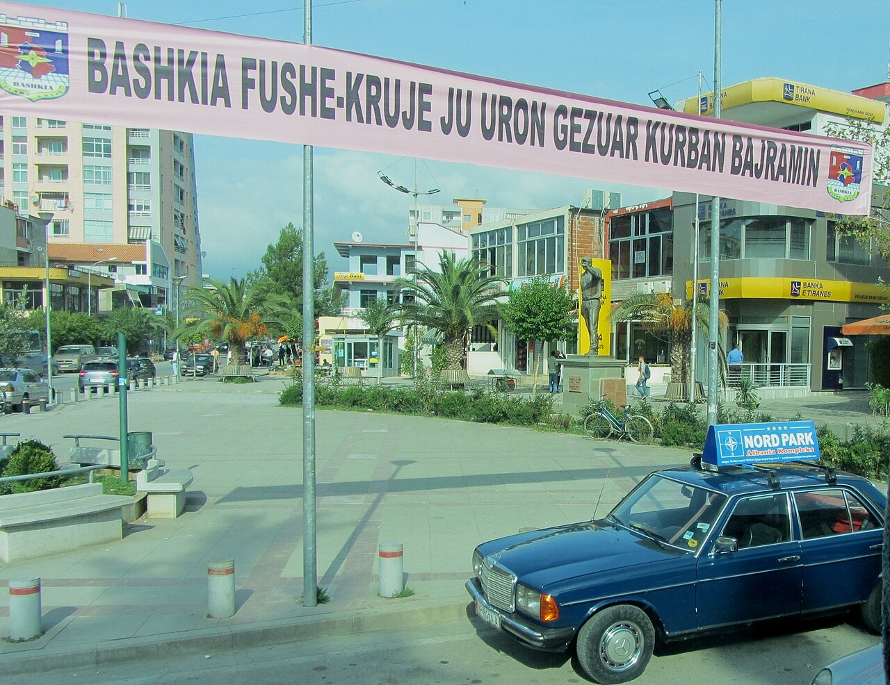
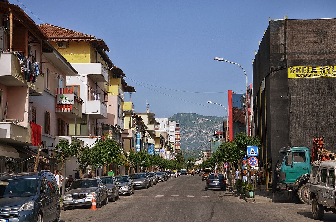
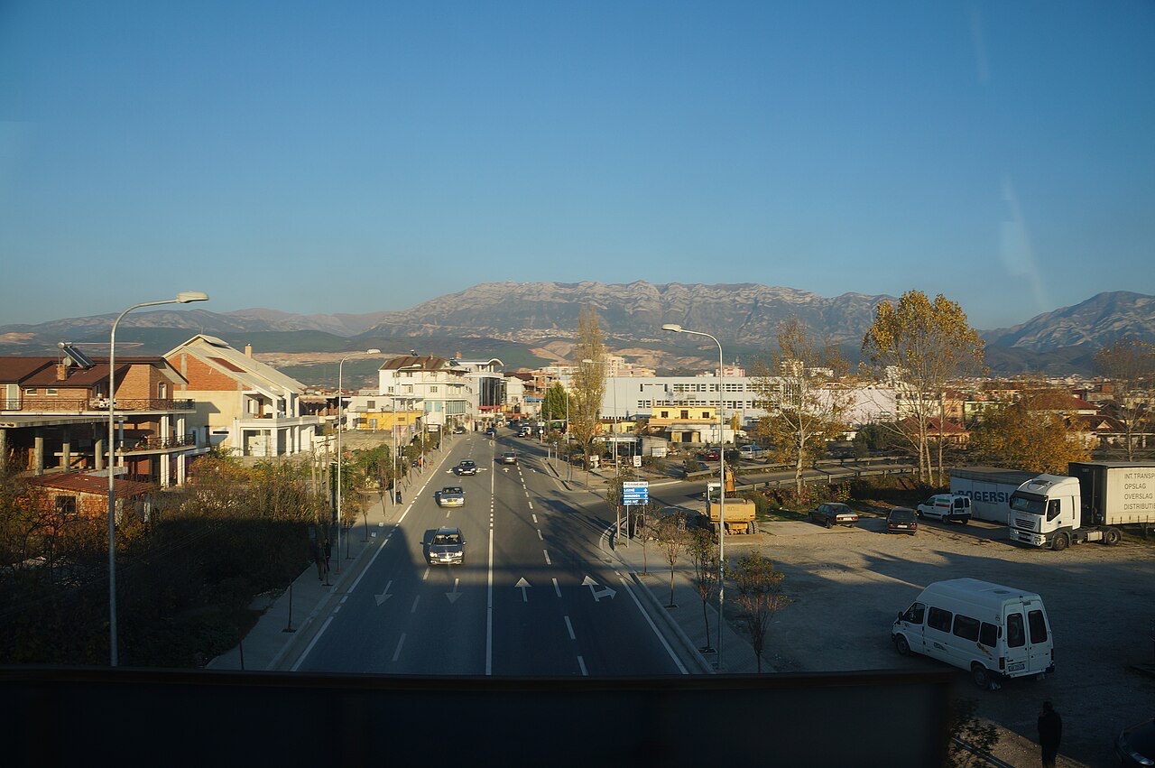
The industrial town on the plain below Krujë, and the site of Albania's largest cement works.
Save
Fushë-Krujë is on the flat land below the castle town of Krujë. It has cement and other factories.
Fushë-Krujë is on the flat land below the castle town of Krujë. It has cement and other factories.
City · Durrës
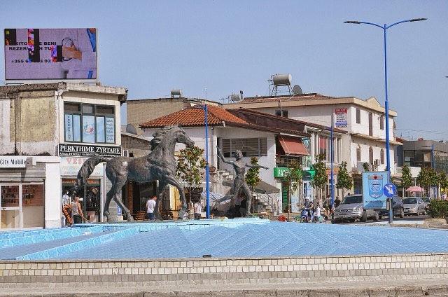
Albania's principal port and its oldest continuously inhabited city, founded as Epidamnos in 627 BC.
Town · Durrës
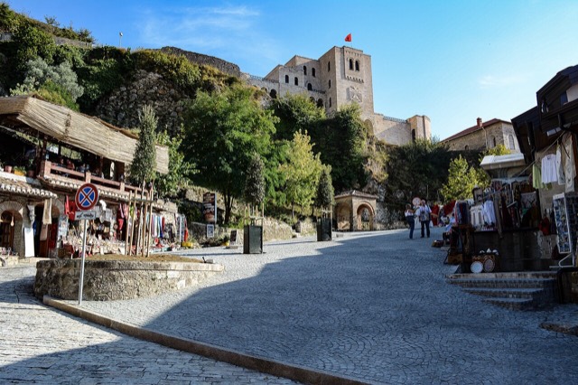
Skanderbeg's mountain stronghold, an old bazaar street, and the national museum of the resistance.
City · Tiranë
The capital: a fast-changing city of painted blocks, Ottoman survivals and new towers, under Mount Dajti.
Town · Tiranë
A city on Tirana's northern edge that grew almost entirely from internal migration after 1991.
Town · Lezhë
An industrial town and the site of the Saint Anthony pilgrimage church at Shëngjin i Vogël.
Company · Durrës
A large cement plant at Boka e Kuqe near Krujë, built by TITAN Cement.
Something wrong on this page? Corrections are welcome and are checked against the source record. Tell us what is wrong and, if you can, where the right figure comes from.