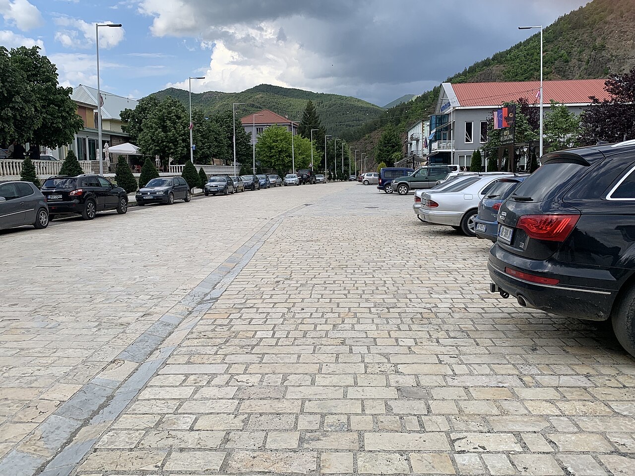
- Population (town)
- 2,438 (2012)
- Elevation
- 533 m
- Official website
- https://www.bashkiafushearrez.gov.al/
In plain language
Fushë-Arrëz is a small town in the northern mountains where timber and copper were worked.
Simple explanation
Fushë-Arrëz is a small town in the northern mountains where timber and copper were worked.
On this page
Climate by month
The warmest month is August (mean daily high 28°C), the coldest is January (mean daily low -2°C), and the wettest is December (106 mm). Total annual rainfall averages 868 mm.
| Month | High | Low | Rain | Wet days | Sun/day |
|---|---|---|---|---|---|
| January | 6°C | -2°C | 92 mm | 11 | 6.6 h |
| February | 7°C | -1°C | 80 mm | 11 | 7.7 h |
| March | 11°C | 2°C | 88 mm | 11 | 9.1 h |
| April | 15°C | 6°C | 84 mm | 12 | 10.4 h |
| May | 20°C | 11°C | 73 mm | 12 | 11.6 h |
| June | 25°C | 15°C | 43 mm | 9 | 13.3 h |
| July | 28°C | 18°C | 39 mm | 6 | 13.4 h |
| August | 28°C | 18°C | 33 mm | 6 | 12.5 h |
| September | 23°C | 14°C | 63 mm | 8 | 10.2 h |
| October | 18°C | 9°C | 71 mm | 9 | 8.6 h |
| November | 12°C | 4°C | 96 mm | 10 | 6.9 h |
| December | 7°C | 0°C | 106 mm | 12 | 6.1 h |
Source: ERA5 reanalysis via Open-Meteo, 1994–2023 · “High” and “Low” are mean daily maximum and minimum air temperature. “Wet days” counts days with at least 1 mm of precipitation.
Connected subjects
Nearby
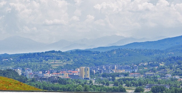
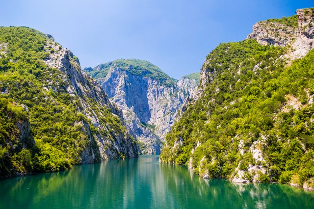
Lake · Shkodër
Lake Koman
A 34 km reservoir in a gorge so narrow the ferry crossing is treated as a scenic journey in its own right.
Sources
- Wikipedia.
Fushë-Arrëz — English Wikipedia
· retrieved 13 Oct 2026
Used to ground the deep-research section and as a discovery aid; not relied on alone for contested claims. - Wikidata.
Wikidata item Q516116
· retrieved 13 Oct 2026
Source of the population, area and elevation figures shown in Quick facts, each with its own observation year. - Open-Meteo / ECMWF.
Monthly climate normals, 1994–2023
· retrieved 13 Oct 2026
Computed here from daily ERA5 reanalysis via Open-Meteo over 1994–2023. - Wikimedia Commons.
Photographs
· retrieved 13 Oct 2026
Each photograph carries its own creator, licence and file link beneath it. Only public-domain, CC0, CC BY and CC BY-SA files are published.
Something wrong on this page? Corrections are welcome and are checked against the source record. Tell us what is wrong and, if you can, where the right figure comes from.