町 · Durrës
Krujë
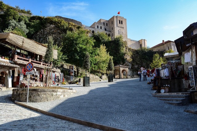
Skanderbeg's mountain stronghold, an old bazaar street, and the national museum of the resistance.
すべての県、すべての海岸、すべての世紀
ガイドビュー
アルバニアを初めて知る方へ。各ページは、詳細に入る前に、10歳の子どもにも読み聞かせられる平易な説明から始まります。
エキスパートビュー
基本知識はすでにお持ちの方向け。平易な説明を非表示にし、内容を直接表示します。これがデフォルトです。
町 · Dibër County
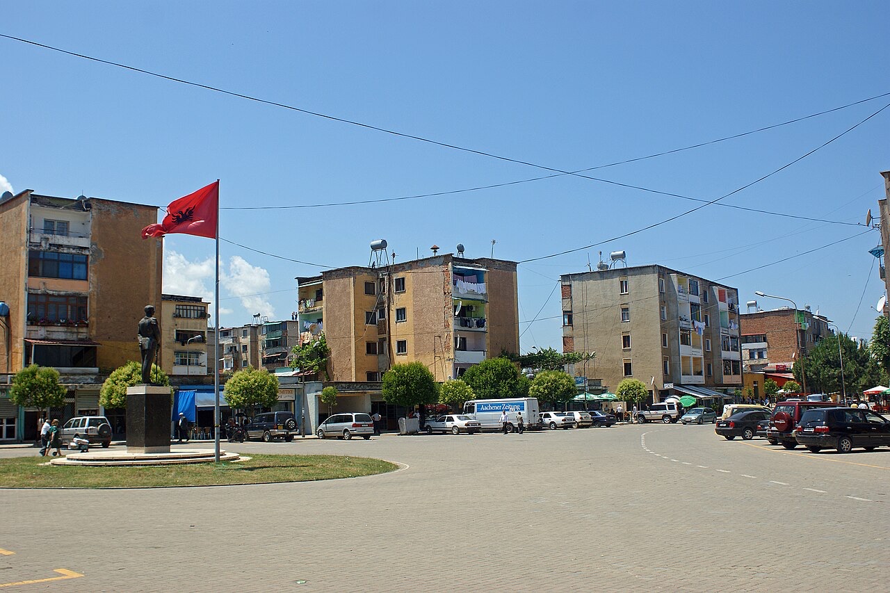
The seat of Mat municipality in the central highlands, near the Mat river dams.
保存
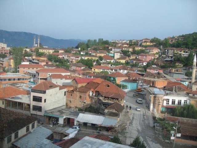
Burrel is a small mountain town in central Albania. Chrome was mined nearby, and several dams on the Mat river make electricity.
Burrel is a small mountain town in central Albania. Chrome was mined nearby, and several dams on the Mat river make electricity.
Burrel is a town in northern Albania, situated 91 kilometres from Tirana. It serves as the seat of the municipality of Mat, a role it assumed following the 2015 local government reform, at which point it also became a formal subdivision of that municipality. Before the reform, Burrel had been the seat of the former District of Mat.
The population recorded at the 2023 census stands at 7,928. The town is also rendered in older sources as 'Burrel, Mat', reflecting its close identification with the Mat valley region.
Archaeological research in the area has identified evidence of human presence from the Palaeolithic era onward, and the Mat valley is considered to have been continuously inhabited through all subsequent historical periods. In antiquity, the region was home to various Illyrian populations, among them the Pirustae. By the second century BC, the area had come under Roman control.
The earliest documentary record of the settlement under the name Burrel (recorded as 'Burjil') appears in an Ottoman defter of 1467. At that date it was listed as a settlement belonging to the timar of local Albanians named Kali Gjergji, Gjonima, Gjergji, and Todori, within the vilayet of Mati. The village comprised six households, headed by Tanush Shurbi, Abati Gjergj, Andrija Riçi, Gjergj Aleksi, Peter Shpani, and Gjon Skura.
At one time Burrel was informally known as the 'city of apples', a designation derived from the apple trees that lined many of its streets. During the communist period and the subsequent political unrest following the change of government, those trees were felled — cut down either for commercial profit or for use as firewood. Few apple trees remain in the town today.
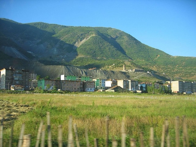
Under communist rule Burrel functioned primarily as a miners' town. Following the end of that system the mines closed, with the exception of a ferrochrome processing plant that remained operational in the vicinity of Burrel.
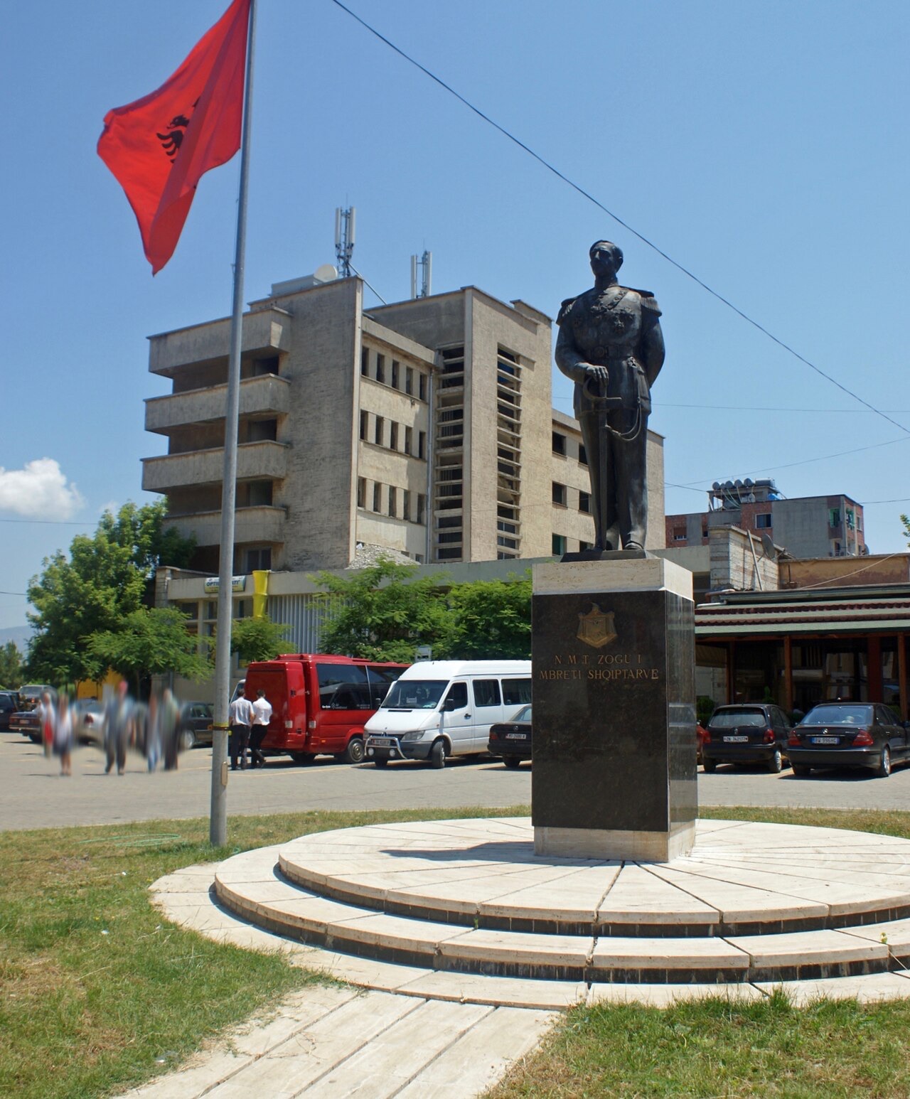
One of the most prominent natives of Burrel is Ahmet Zogu — born Ahmet Zogolli on 8 October 1895 and died 9 April 1961 — who reigned as King Zog I of Albania from 1928 to 1939, holding the title of first King of the Albanians. Before assuming the throne he had served as Prime Minister of Albania between 1922 and 1924, and as President of Albania between 1925 and 1928.
The wider Zogu family features prominently among the town's notable figures. The list of people associated with Burrel includes Xhemal Pasha Zogu, father of Zog I, and Xhelal Bey Zogu, described as an Albanian prince. Also associated with the town is Kurt Agë Kadiu, recorded as one of the signatories of the Albanian Declaration of Independence, and Tarhoncu Ahmed Pasha, who served as an Ottoman Grand Vizier.
Burrel was the site of one of the most severe prisons of the communist regime, used to hold both ordinary criminals and political prisoners. Among those detained there were Bashkim Shehu, writer Fatos Lubonja, and the Catholic priest Dom Simon Jubani. Political prisoners were typically sentenced for alleged attempts to overthrow the state or for anti-communist propaganda and agitation, with minimum terms of 20 years; sentences were frequently extended while prisoners were still serving them.
The prison was also where Pjetër Arbnori was held. Arbnori, who later became a member of the Albanian Parliament after the fall of communism, was known as 'the Mandela of the Balkans' on account of an internment that lasted more than 28 years. The facility was classified as one of the Labour camps of the People's Socialist Republic of Albania.
After the collapse of the communist government, the Democratic Party of Albania closed the prison and converted it into a museum. In 1997, however, Sali Berisha re-opened it as a functioning prison.
During the Kosovo conflict a refugee camp was established near Burrel with a capacity for 2,000 people. The camp was supplied with food, water and other provisions by NATO and the United States Armed Forces.
The Mat region is regarded as having substantial archaeological importance and is considered an early centre of Illyrian culture. Researcher Dilaver Kurti conducted explorations of the area, uncovering objects spanning all ancient historical periods. The Museum of Mat holds many Illyrian artefacts and also displays and analyses Kurti's book Trashigime Iliro-Arberore.
In addition to his archaeological work, Kurti travelled from village to village across the region collecting ethnographic materials and photographs. These materials form the basis of his books Shenime Etnografike Neper Mat and Foklor Nga Mati.
Klubi Sportiv Burreli (KS Burreli) is the principal football club of the town. Founded in 1952 under the name 'KS 31 Korriku Burrel', the club made its first appearance in the Albanian First Division in 1982. Its home ground is the Liri Ballabani Stadium, also referred to as Burreli Stadium, which has a stated capacity of 3,000 spectators.
As of the 2022–2023 season, KS Burreli competed in the Kategoria e Parë, finishing that season in tenth place.
最も暖かい月は August (日中の平均最高気温 30°C), 最も寒い月は January (夜間の平均最低気温 -1°C), 最も雨が多い月は December (169 mm). 年間総降水量の平均は 1,444 mm.
| 月 | 最高気温 | 最低気温 | 降水量 | 降水日数 | 日照時間/日 |
|---|---|---|---|---|---|
| January | 9°C | -1°C | 144 mm | 12 | 6.9 h |
| February | 10°C | -0°C | 128 mm | 12 | 7.9 h |
| March | 13°C | 2°C | 136 mm | 13 | 9.4 h |
| April | 17°C | 6°C | 138 mm | 15 | 10.5 h |
| May | 22°C | 11°C | 126 mm | 15 | 11.9 h |
| June | 26°C | 15°C | 80 mm | 10 | 13.6 h |
| July | 29°C | 18°C | 55 mm | 8 | 13.7 h |
| August | 30°C | 18°C | 54 mm | 8 | 12.8 h |
| September | 25°C | 14°C | 122 mm | 11 | 10.6 h |
| October | 20°C | 10°C | 130 mm | 10 | 9.1 h |
| November | 15°C | 6°C | 162 mm | 12 | 7.2 h |
| December | 10°C | 1°C | 169 mm | 13 | 6.5 h |
出典: ERA5 reanalysis via Open-Meteo, 1994–2023 · 「最高気温」および「最低気温」は日平均最高・最低気温です。「降水日数」は降水量が1mm以上の日数を計上しています。
町 · Durrës
Skanderbeg's mountain stronghold, an old bazaar street, and the national museum of the resistance.
保護区域 · Dibër
A cluster of small glacial lakes among black pine on the Lurë ridge, badly damaged by logging and slowly recovering.
町 · Dibër
The seat of Dibër County, known for thermal springs and the high pastures below Mount Korab.
産業
Electricity almost entirely from hydropower — which makes supply depend on rainfall.
このページに誤りがありますか? 修正は歓迎しており、原典記録と照合して確認します。何が誤っているか、また可能であれば正しい数値の出典をお知らせください。