Ville · Korçë
Korçë
The highland city of serenades, the first Albanian-language school, and the country's oldest brewery.
Chaque comté, chaque côte, chaque siècle
Vue guidée
Nouveau en Albanie ? Chaque page s'ouvre sur une explication en langage clair, accessible à un enfant de dix ans, avant d'entrer dans le détail.
Vue expert
Vous connaissez déjà les bases. Directement à l'essentiel, les explications simples étant masquées. Il s'agit du réglage par défaut.
Bourg · Korçë County
The seat of Devoll municipality, on the Greek border in an apple-growing plain.
Enregistrer
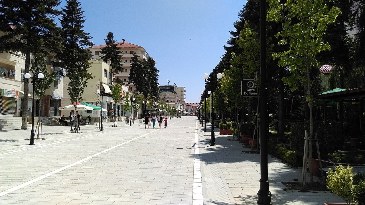
Bilisht is a small town near the Greek border. The area around it grows a lot of apples.
Bilisht is a small town near the Greek border. The area around it grows a lot of apples.
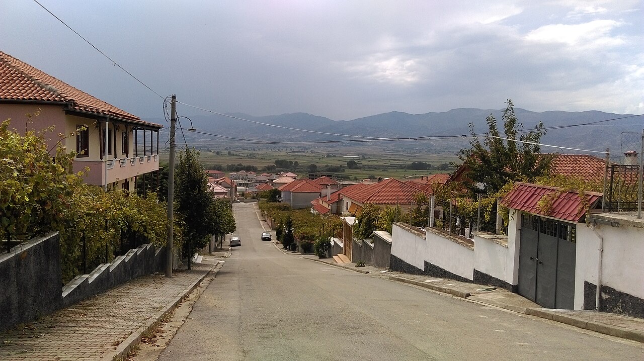
Bilisht is the most south-eastern town in Albania, situated in Korçë County at an average altitude of 925 metres above sea level, making it the second-highest town in the country after Ersekë, which stands at 1,020 metres. The town occupies a hilly terrain that runs from the bed of the Devoll River up to Kokogllava hill and covers an area of approximately 1.4 square kilometres, with the elevation range within the built area spanning roughly 880 to 970 metres.
The town sits 7 to 9 kilometres west of the border crossing with Greece at Kapshticë, with the nearest Greek settlement across the border being Krystallopigi in the Florina regional unit. The surrounding topography includes the hills of Kokogllava at 1,140 metres, Stranra at 1,280 metres, and the village of Sellcë to the east. To the north lies Bitinckë (3 km), to the south Vishoçicë (3 km), and to the west the Devoll River and several villages including Poloskë, Kuç, Baban, and Hoçisht. The continental climate produces cool summers and cold winters.
The town functions as the economic centre for agriculture, mining, food, and textile industries in the Devoll region. A major motorway connecting Albania to Greece via the Kapshticë customs point passes through Bilisht, giving the town significance as a transit point. The Trans Adriatic Pipeline (TAP), which carries Azerbaijani gas to Europe, also runs through Bilisht; it was built in the late 2010s.
Bilisht was formerly a municipality in its own right and the seat of the Devoll District. Under the 2015 local government reform it became a subdivision and the designated seat of the enlarged Municipality of Devoll. The municipal council for Devoll, composed of 17 members, is located in Bilisht.
The population as recorded by the 2023 census stands at 7,287. Earlier figures show considerable fluctuation: approximately 5,600 inhabitants during the 1980s, rising to 8,000 in 1995, then falling to 7,000 in 2001. Urban status was formally recognised following the Albanian census of 1923. Post-communist Bilisht has also received a small in-migration of people from other parts of Albania, attributed to pre-existing family connections.
A fortified site dating from the early Iron Age exists in the vicinity of Bilisht, indicating long-term human occupation of the area. The town was part of the Ottoman Empire for several centuries, known in Ottoman Turkish as بهلشته (Bihlişte). By the late 16th century, Muslims in the kaza of Bilisht held tenant farms known as baștina.
Bilisht became a notable centre for the Sufi Halveti order, maintaining two or three tekkes that were connected to the order's tekke in Ohrid. Until the early twentieth century, the town grew as a hub for artisan trades and commerce on important transport routes, drawing population from the surrounding rural area. This same position made the town vulnerable to robberies and disruption during periods of conflict.
During the Great Eastern Crisis, the Treaty of San Stefano (1878) proposed incorporating Albanian-populated areas including Bilisht into a large Bulgarian state. The subsequent Treaty of Berlin reversed this, leaving Bilisht and its surroundings within the Ottoman Empire. In the late Ottoman period, the nahiya of Bilisht was a centre of revolutionary activity for Albanian and Aromanian cheta groups, estimated collectively at 150 to 200 individuals.
Ottoman geographer Hadji Khalfa (1609–1657) recorded that in the mid-seventeenth century the nahiya of Bilisht held a mixed Albanian and Bulgarian population, and that the Christian element was declining due to local disturbances and conversions to Islam. In the early nineteenth century, the ethnic boundary between Albanians and the neighbouring Slavic (Bulgarian) population ran close to and to the east of Bilisht. The British traveller William Martin Leake, passing through between 1805 and 1807, noted this boundary and recorded that the people of Bilisht spoke Albanian.
A Romani community settled in Bilisht during the 17th century and remains present. Apart from the village of Vërnik, all settlements of the Devoll region, including Bilisht, are described as Albanian-speaking. As of the late 2010s, the majority of Bilisht's population is Muslim, specifically of the Bektashi Order, while a significant proportion are Orthodox Christians. The tyrbe (tomb) of the Muslim Sufi saint Qazim Baba is located in the town.
Some Muslim Albanian villages on the Greek side of the border used Bilisht as their market town until 1923, when their inhabitants were transferred to Turkey under the Greco-Turkish population exchange, which was conducted on religious criteria. During the interwar period a tekke of the Rifaʿi Sufi Order existed in Bilisht, and part of the surrounding Muslim rural population emigrated to Australia.
Following the Balkan Wars of 1912–1913, Bilisht became part of Albania. Its urban status was recognised through the Albanian census of 1923, reflecting its role as a regional market and administrative centre. Bilisht served as the centre of the Bilisht district during this period.
By the 1960s, the area around Bilisht and the neighbouring city of Korçë recorded the highest population densities among mountainous districts in Albania (those above 500 metres). The communist government constructed numerous bunkers in the Bilisht area, a programme applied widely across Albania during that period.
During the early 1990s, religious practice was revived across Albania after decades of enforced atheism under communism. In Bilisht, the Orthodox church of Saint Paraskeva (Shën e Premte) was rebuilt in 1992, followed by the construction of a new mosque in 1995.
Former communist-era bunkers in Bilisht have been repurposed into cafes and other commercial uses. The town has attracted investment and seen new shops open, and it has received a small number of internal migrants from other parts of Albania. The TAP pipeline contributed directly to local infrastructure: in 2018, the Fuat Babani elementary school was completely reconstructed and modernised through a €600,000 investment by the TAP project.
In local elections of the early 2000s, a member of the Romani community was elected to the Devoll municipal council. At the 2011 Albanian local elections, the Macedonian minority succeeded in electing one councillor to the municipal council. In the early 1990s, the Greek political party Omonia fielded a candidate from Bilisht but later withdrew following threats of violence.
An Ottoman secondary school (rüştiye) opened in Bilisht in 1881–1882. It closed approximately twelve years later due to a decline in student numbers and poor teaching from its single educator, and was converted into a primary school by the early 1890s. By the mid-1890s it had reverted to secondary level status and was described as the smallest in the region; by the 1900s it had two teachers and around 20 students.
A Greek-language school was already operating in Bilisht by 1888, and Greek-language education continued through the 1912–1914 period. Because Bilisht lies outside Albania's officially designated Greek minority zone, the post-communist Greek-language presence takes the form of a cultural and language tutoring centre rather than a formal state minority school.
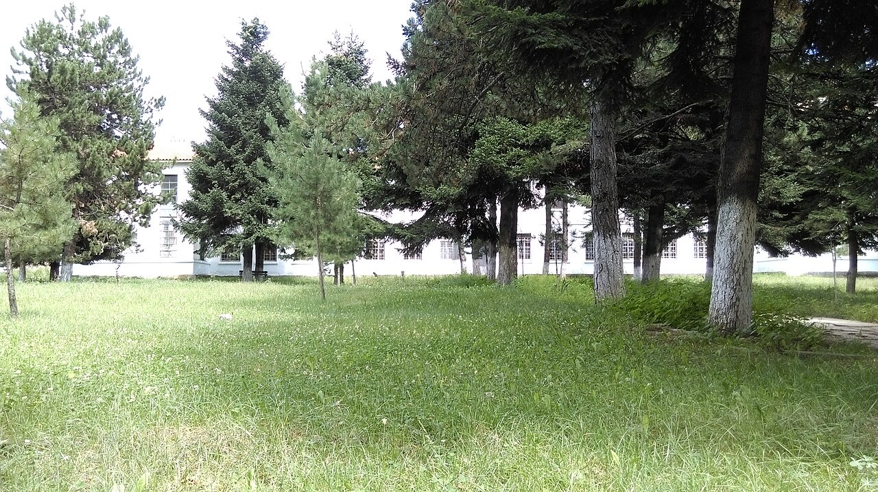
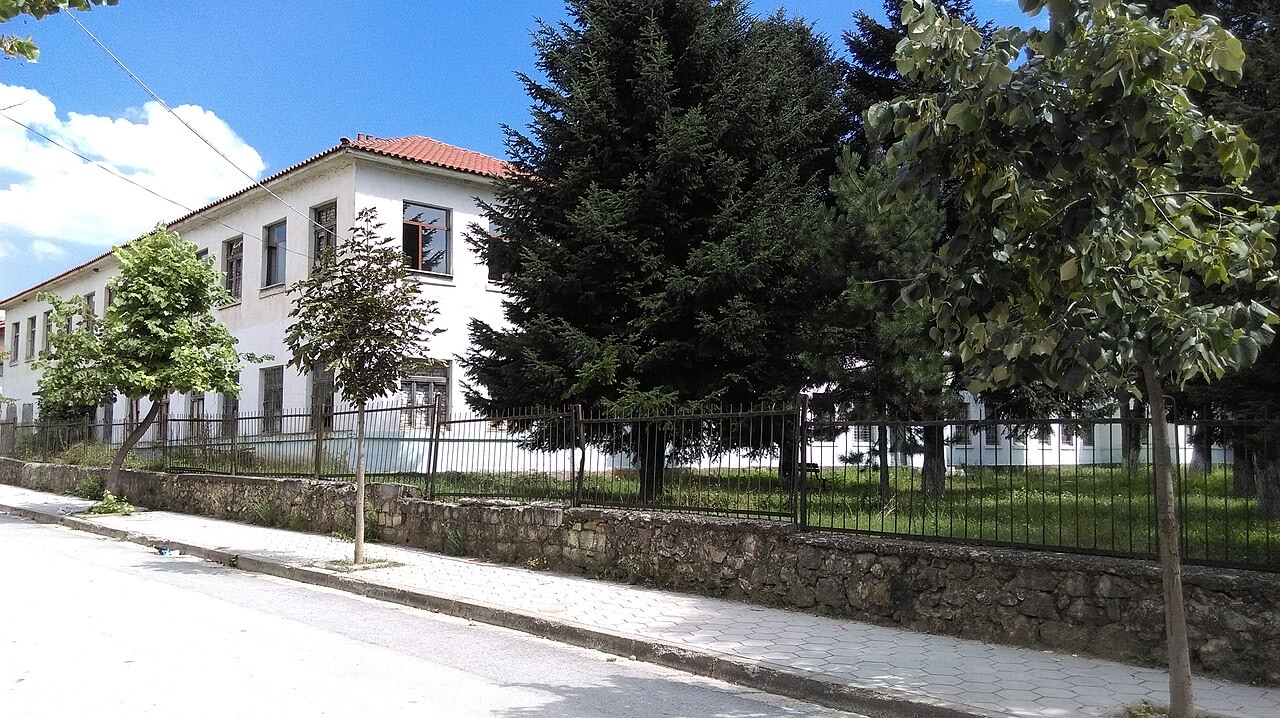
Modern Bilisht has two Albanian primary schools: 'Myteza Sala', with 20 teachers, and 'Dritëro Agolli', with 25 teachers. The elementary school 'Fuat Babani' caters to up to 800 students and was fully reconstructed and modernised in 2018 using €600,000 in funding provided by the TAP pipeline project.
Bilisht gives its name to an Albanian polyphonic song, Në plepat Bilishtit (The Poplars of Bilisht), which commemorates themes of male bravery, honour, and family values, with its narrative events set in the town.
The town's football club is Bilisht Sporti. The wider cultural landscape of the town also includes the tyrbe of the Sufi saint Qazim Baba, which reflects the long presence of Sufi orders—particularly the Halveti and later the Bektashi—in Bilisht's religious life.
Le mois le plus chaud est August (maximum quotidien moyen 27°C), le plus froid est January (minimum quotidien moyen -3°C), et le plus pluvieux est December (84 mm). La pluviométrie annuelle totale est en moyenne de 739 mm.
| Mois | Max. | Min. | Pluie | Jours de pluie | Ensoleil./jour |
|---|---|---|---|---|---|
| January | 4°C | -3°C | 73 mm | 10 | 6.4 h |
| February | 6°C | -2°C | 65 mm | 9 | 7.6 h |
| March | 9°C | -0°C | 71 mm | 11 | 8.9 h |
| April | 14°C | 4°C | 69 mm | 13 | 10.5 h |
| May | 19°C | 8°C | 70 mm | 12 | 11.6 h |
| June | 24°C | 12°C | 46 mm | 9 | 13.5 h |
| July | 27°C | 15°C | 31 mm | 6 | 13.6 h |
| August | 27°C | 16°C | 29 mm | 7 | 12.7 h |
| September | 22°C | 12°C | 52 mm | 7 | 10.4 h |
| October | 16°C | 7°C | 69 mm | 8 | 8.5 h |
| November | 11°C | 3°C | 82 mm | 10 | 6.5 h |
| December | 6°C | -2°C | 84 mm | 11 | 5.8 h |
Source: ERA5 reanalysis via Open-Meteo, 1994–2023 · « Max. » et « Min. » sont les températures de l'air maximale et minimale quotidiennes moyennes. « Jours de pluie » comptabilise les jours avec au moins 1 mm de précipitations.
Ville · Korçë
The highland city of serenades, the first Albanian-language school, and the country's oldest brewery.
Industrie
A large share of employment on very small holdings — the legacy of the 1991 land redistribution.
Une erreur sur cette page ? Les corrections sont les bienvenues et sont vérifiées par rapport au document source. Indiquer ce qui est erroné et, si possible, d'où provient le chiffre correct.