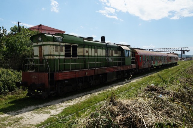
都市
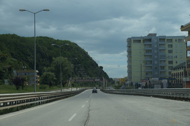
Durrës
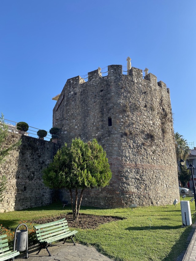
Albania's principal port and its oldest continuously inhabited city, founded as Epidamnos in 627 BC.
🧭 ガイドビュー
アルバニアを初めて知る方へ。各ページは、詳細に入る前に、10歳の子どもにも読み聞かせられる平易な説明から始まります。
⚡ エキスパートビュー
基本知識はすでにお持ちの方向け。平易な説明を非表示にし、内容を直接表示します。これがデフォルトです。
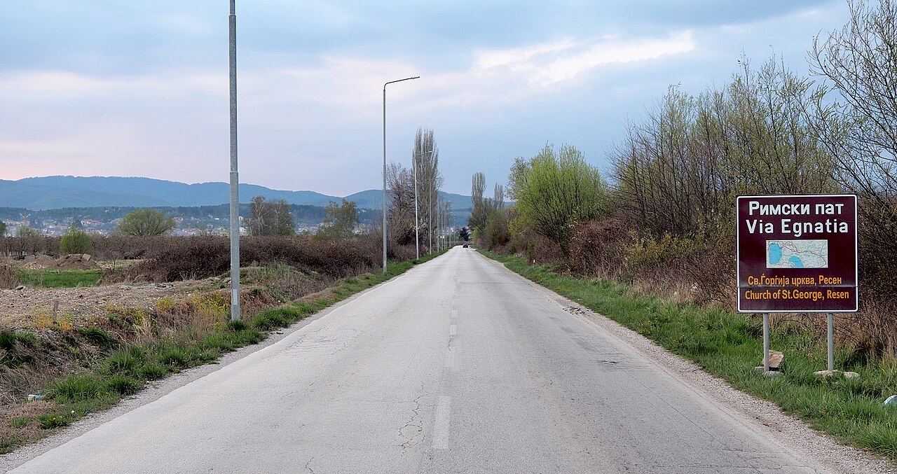
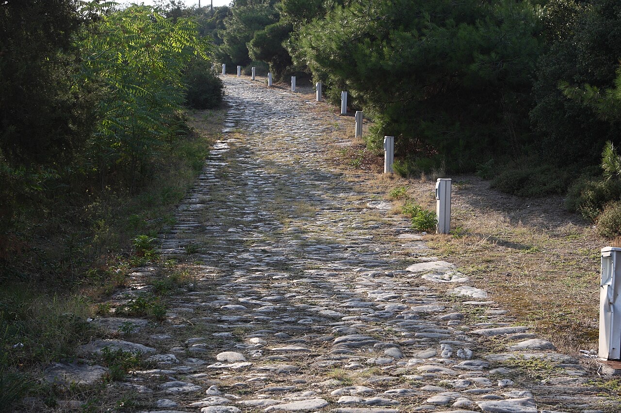
The Via Egnatia was a Roman road that started on the Albanian coast and ran all the way east to the city that became Istanbul. It was how armies, traders and later pilgrims crossed the Balkans for more than a thousand years.
The Via Egnatia was a Roman road that started on the Albanian coast and ran all the way east to the city that became Istanbul. It was how armies, traders and later pilgrims crossed the Balkans for more than a thousand years.
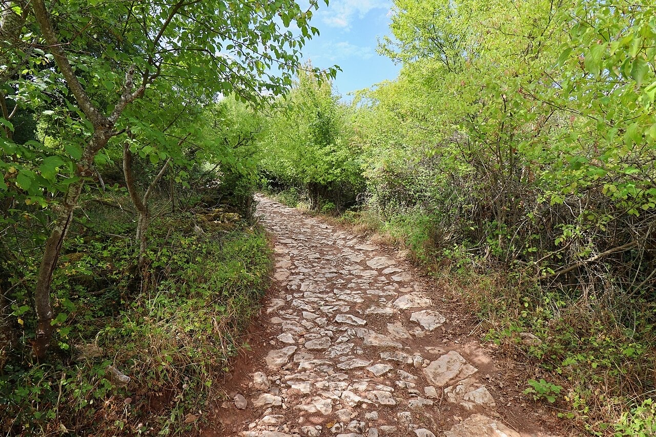
これらはアトラス内の実際の関係性です——この場所に近い地点と、実際に関連する項目です。汎用的な推薦は含まれていません。
Albania's principal port and its oldest continuously inhabited city, founded as Epidamnos in 627 BC.
A central industrial city inside an Ottoman fortress wall, on the old Via Egnatia.
An Ottoman fortress built on a Roman site, with a living town inside its walls.
The Via Egnatia crossed here, making the coast Rome's gateway to Greece and the East.
The river that splits Albania in two — the historic dividing line between Gheg and Tosk.
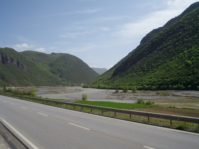
A small town on the Shkumbin at a crossing point used since Roman times.
このページに誤りがありますか? 修正は歓迎しており、原典記録と照合して確認します。何が誤っているか、また可能であれば正しい数値の出典をお知らせください。