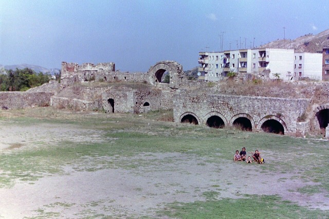
शहर · Durrës
Durrës
Albania's principal port and its oldest continuously inhabited city, founded as Epidamnos in 627 BC.
हर काउंटी, हर तट, हर सदी
निर्देशित दृश्य
Albania में नए हैं? हर पृष्ठ एक सरल-भाषा स्पष्टीकरण के साथ खुलता है जिसे आप किसी दस वर्षीय बच्चे को पढ़ कर सुना सकते हैं, इससे पहले कि विस्तृत जानकारी शुरू हो।
विशेषज्ञ दृश्य
आप मूल बातें पहले से जानते हैं। सीधे मूल विषय पर, सरल स्पष्टीकरण छिपे हुए। यह डिफ़ॉल्ट है।
विषय
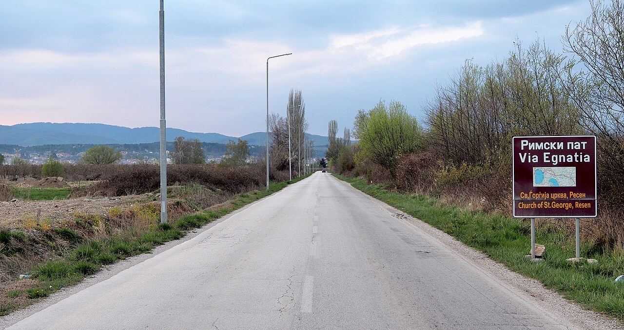
Rome's road from the Adriatic to Byzantium, which began at Durrës and Apollonia.
सहेजें
The Via Egnatia was a Roman road that started on the Albanian coast and ran all the way east to the city that became Istanbul. It was how armies, traders and later pilgrims crossed the Balkans for more than a thousand years.
The Via Egnatia was a Roman road that started on the Albanian coast and ran all the way east to the city that became Istanbul. It was how armies, traders and later pilgrims crossed the Balkans for more than a thousand years.
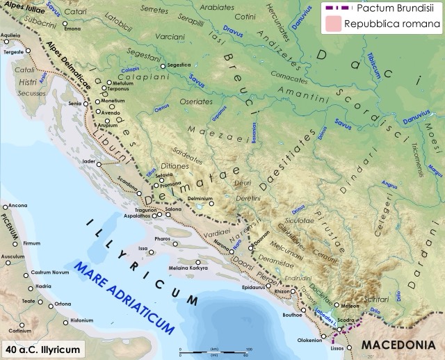
The Via Egnatia was a Roman road constructed in the 2nd century BC. It crossed the provinces of Illyricum, Macedonia, and Thracia, running through territory that is now Albania, Greece, North Macedonia, and European Turkey. It functioned as the eastern continuation of the Via Appia, which led from Rome itself, with the western terminus of the Via Egnatia and the eastern terminus of the Via Appia positioned almost directly opposite each other on the east and west shores of the Adriatic Sea.
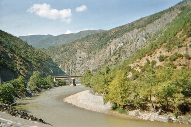
The road began at Dyrrachium, now the Albanian city of Durrës, on the Adriatic coast. From there it followed the river Genusus — today the Shkumbin — before crossing the Candaviae mountains, now known as the Jablanica range, and continuing into the highlands around Lake Ohrid. It then turned generally southward through high mountain passes to reach the northern Aegean coast at Thessalonica, and from there ran east through Thrace to Byzantium, later Constantinople and now Istanbul. Its total distance was approximately 1,120 km (696 miles, or 746 Roman miles).
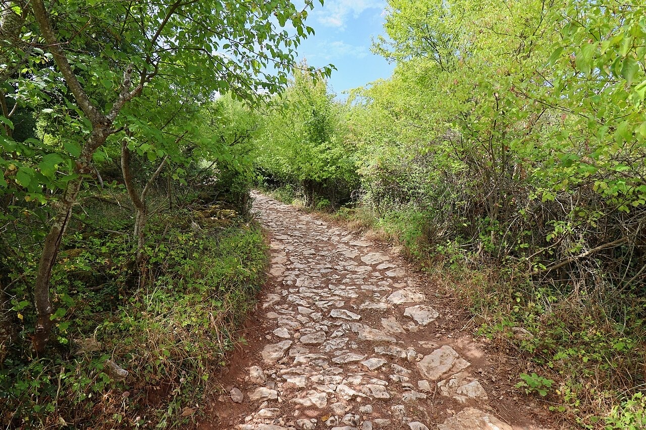
Like other major Roman roads, the Via Egnatia was approximately six metres (19.6 ft) wide. It was paved with large polygonal stone slabs or covered with a hard layer of compacted sand. Archaeological evidence from the Thrace region shows that construction was adapted to local topography, geology, and ground conditions. Pavement thickness varied from 25 cm to more than 150 cm depending on foundation conditions: in stable rocky ground a single layer of well-fitted cobblestones sufficed, while soft or unstable ground required excavation followed by multiple layers of cobbles, gravels, rubble, and compacted sandy soil or lime mortar, sometimes with clay layers to provide waterproofing.
The road's width ranged from 4 m to 8 m in most sections but could reach up to 20 m within cities to accommodate heavier traffic. Road gradients were normally 1 to 2 percent, rising to 16 to 18 percent in mountain regions, with gradients of up to 20 percent recorded on a stretch 2 km west of Kavala. Large rock blocks were placed along the edges of the carriageway to prevent lateral spread of the pavement and keep vehicles from sliding off. A series of elongated central stone blocks appears to have separated opposing traffic flows.
The principal literary sources for the road's construction are Strabo's Geographica and a series of milestones found along the route, which mark the road for approximately 860 kilometres as far as the border between Macedonia and Thrace. Bilingual inscriptions on those milestones record that Gnaeus Egnatius, proconsul of Macedonia, ordered the construction. The road is presumed to have taken its name from him, though the exact date of construction is not recorded and remains uncertain.
The road may have replaced or incorporated an earlier military route from Illyria to Byzantium, which Polybius and Cicero describe and which the Romans apparently built over or improved. Whether the Via Egnatia was an entirely new project or a major upgrading of a pre-existing road cannot be determined from surviving sources.
The Via Egnatia was built to link a chain of Roman colonies stretching from the Adriatic Sea to the Bosphorus. It gave the colonies of the southern Balkans a direct overland connection to Rome via the Via Appia. It also served as Rome's principal connection to her territories in the eastern Mediterranean. Until a more northerly route across Illyria was opened under the emperor Augustus, the Via Egnatia was the main road by which Rome communicated with and supplied her eastern empire.
The road was repaired and expanded on multiple occasions throughout the Roman period, but it also experienced prolonged periods of neglect during Rome's civil wars. Surviving milestones record that the emperor Trajan undertook extensive repairs prior to his military campaign of 113 against the Parthians.
The Albanian section of the road began at Dyrrachium (Durrës) on the Adriatic coast, the road's western terminus and the point where travellers crossing from Italy would land. The route then followed the right bank of the Shkumbin river eastward from the vicinity of modern Elbasan — the ancient station of Scampa — before crossing to the left bank and continuing through the Polis massif as far as the village of Qukës, where it crossed the river again on a bridge of which remains were still visible as of the 1957 Czech geological expedition that surveyed the stretch.
From Qukës the road climbed towards and across the Candaviae (Jablanica) mountains, the most difficult terrain on the Albanian portion of the route. Research has identified several ancient stations in this stretch: the mansio Grandavia (Ad Dianam) near the summit of the Polis massif close to the commune of Babjë, and the mutatio In Candavia (Tres Tabernas) near the bridge at Qukës. The exact alignment of the road between Qukës and the Ohrid lakeshore has been debated in the scholarly literature, with some researchers proposing a route along the Perroj i Lingajce tributary while others, relying on surviving road remains, coin finds, and local tradition, argue for a higher alignment through Skroskë, Pishkash, and Rajcë.
The Via Egnatia featured directly in several of the most consequential military events of the late Roman Republic. During Caesar's civil war, the armies of Julius Caesar and Pompey both marched along the road. During the Liberators' civil war that followed Caesar's assassination, Mark Antony and Octavian used the Via Egnatia to pursue Cassius and Brutus eastward, a march that ended at the Battle of Philippi.
The Apostle Paul also travelled sections of the road during his second missionary journey, passing along it from Philippi to Thessalonica, as recorded in the Acts of the Apostles (chapters 16–17). This places the road among the documented routes of early Christian missionary activity in the Balkans.
By the 5th century AD the Via Egnatia had largely fallen out of use as a result of violent instability across the region. A 5th-century historian recorded that the western sections were in such a deteriorated state that travellers could barely pass along them.
The road was subsequently revived as a key artery of the Eastern Roman Empire. The historian Procopius records that the emperor Justinian I carried out repairs during the 6th century, though even after those works the road was reported to be virtually impassable in wet weather. Almost all Byzantine overland trade with western Europe passed along the Via Egnatia. During the Crusades, armies travelling overland to the east used the road to reach Constantinople before crossing into Asia Minor. Following the Fourth Crusade, control of the road was of critical importance to the Latin Empire and to the Byzantine successor states, the Empire of Nicaea and the Despotate of Epirus.
During the early Ottoman conquests in Europe, the principal western military route — known as sol kol, meaning 'left arm' — followed the alignment of the Via Egnatia. The road thus remained strategically relevant into the Ottoman period, though under a different administrative framework.
The Aromanians, a Romance-speaking people of the Balkans, knew the road by the name Calea Mare, meaning 'The Big Road', in their Aromanian language. This name, preserved in oral tradition, reflects the road's long presence in the everyday geography of the region even after it had ceased to function as an official imperial highway.
A modern Greek motorway named Egnatia Odos — the Greek translation of 'Via Egnatia' — was constructed in reference to the ancient road. The eastern section of the motorway, between Thessaloniki and the Turkish border on the Evros river, runs roughly parallel to the ancient road's alignment. The western section, between Thessaloniki and Igoumenitsa, runs considerably further south than the ancient Via Egnatia.
European Union cohesion funding contributed to the construction of the modern road: a 1994 Commission Decision recorded grant assistance from the Cohesion Financial Instrument for the Igoumenitsa–Pedini section, specifically the Vrosina (Psilorachi)–Pedini subsection. The naming of the modern motorway after its ancient predecessor reflects the historical significance of the corridor as a trans-Balkan route.
शहर · Durrës
Albania's principal port and its oldest continuously inhabited city, founded as Epidamnos in 627 BC.
शहर · Elbasan
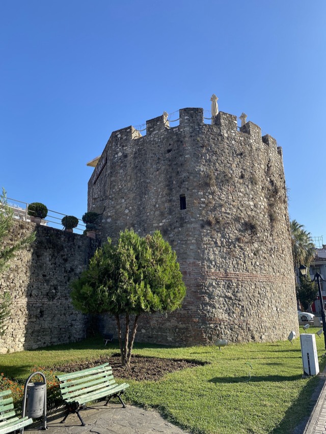
A central industrial city inside an Ottoman fortress wall, on the old Via Egnatia.
ऐतिहासिक स्थल · Elbasan
An Ottoman fortress built on a Roman site, with a living town inside its walls.
ऐतिहासिक काल
The Via Egnatia crossed here, making the coast Rome's gateway to Greece and the East.
नदी · Elbasan
The river that splits Albania in two — the historic dividing line between Gheg and Tosk.
इस पृष्ठ पर कुछ गलत है? सुधार स्वागतयोग्य हैं और स्रोत अभिलेख के विरुद्ध जाँचे जाते हैं। हमें बताएँ क्या गलत है और, यदि संभव हो, तो सही आँकड़ा कहाँ से आता है।