都市 · Gjirokastër
Gjirokastër
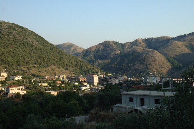
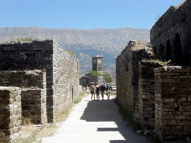
The 'stone city': slate-roofed tower houses on a steep slope beneath one of the Balkans' largest castles.
すべての県、すべての海岸、すべての世紀
ガイドビュー
アルバニアを初めて知る方へ。各ページは、詳細に入る前に、10歳の子どもにも読み聞かせられる平易な説明から始まります。
エキスパートビュー
基本知識はすでにお持ちの方向け。平易な説明を非表示にし、内容を直接表示します。これがデフォルトです。
泉 · Vlorë County
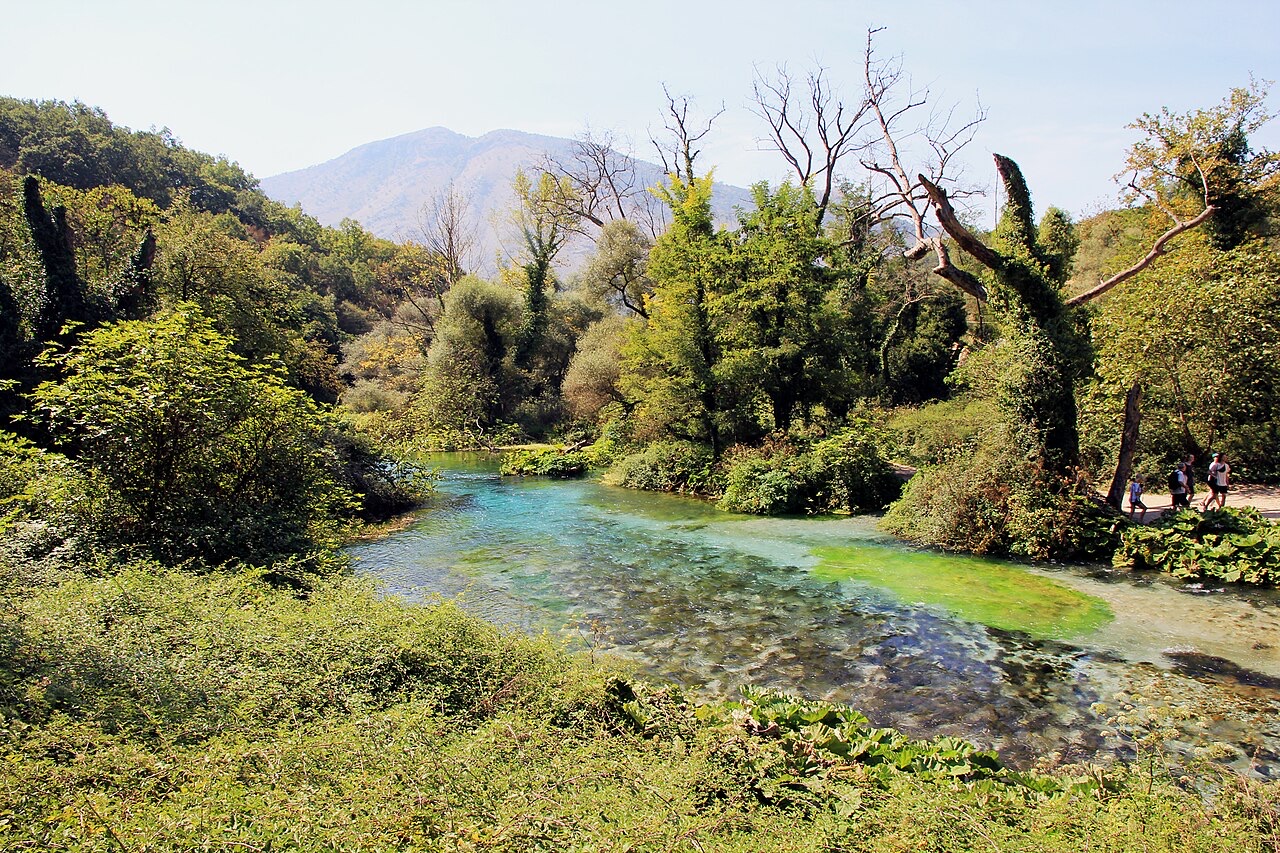
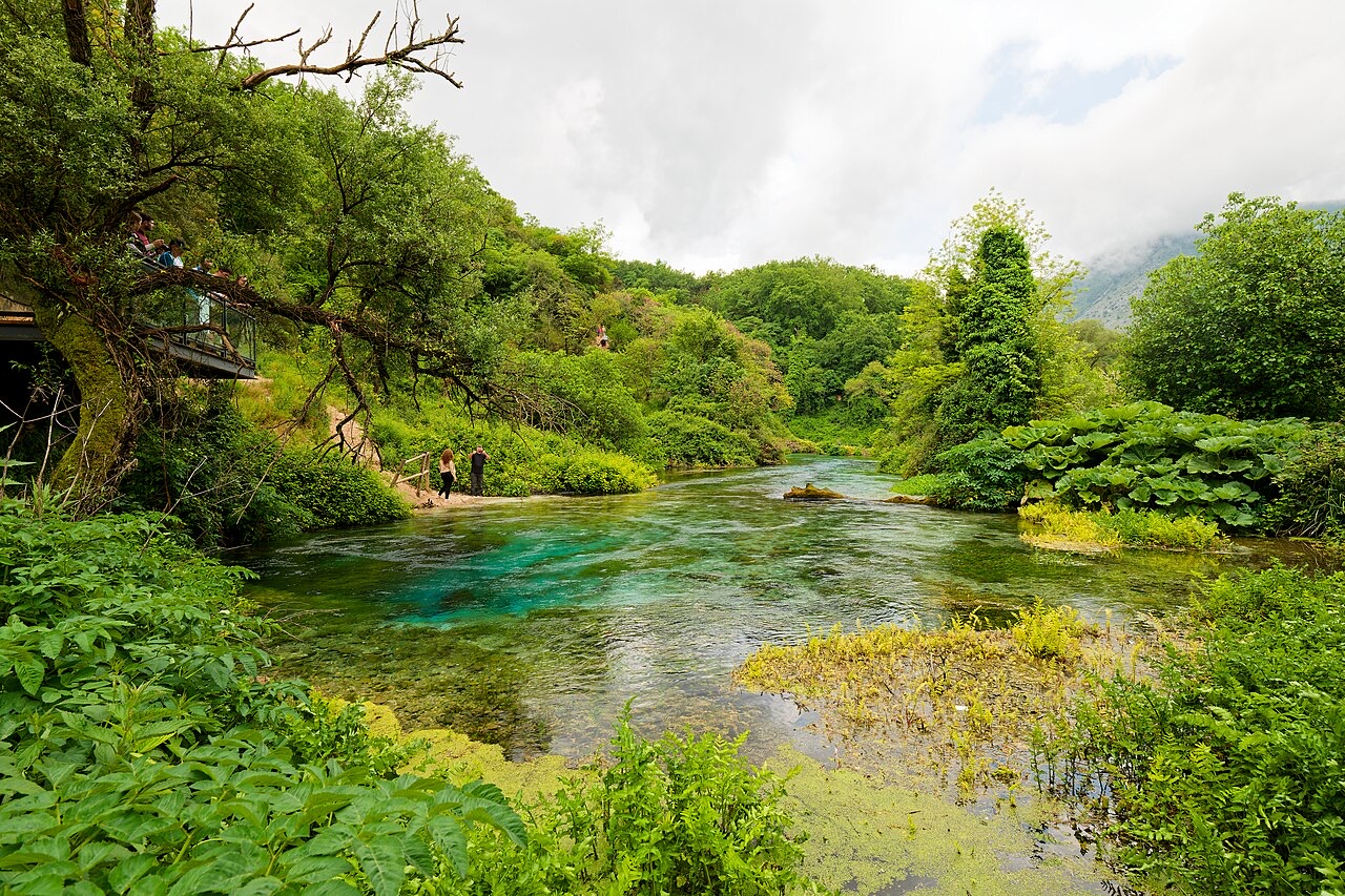
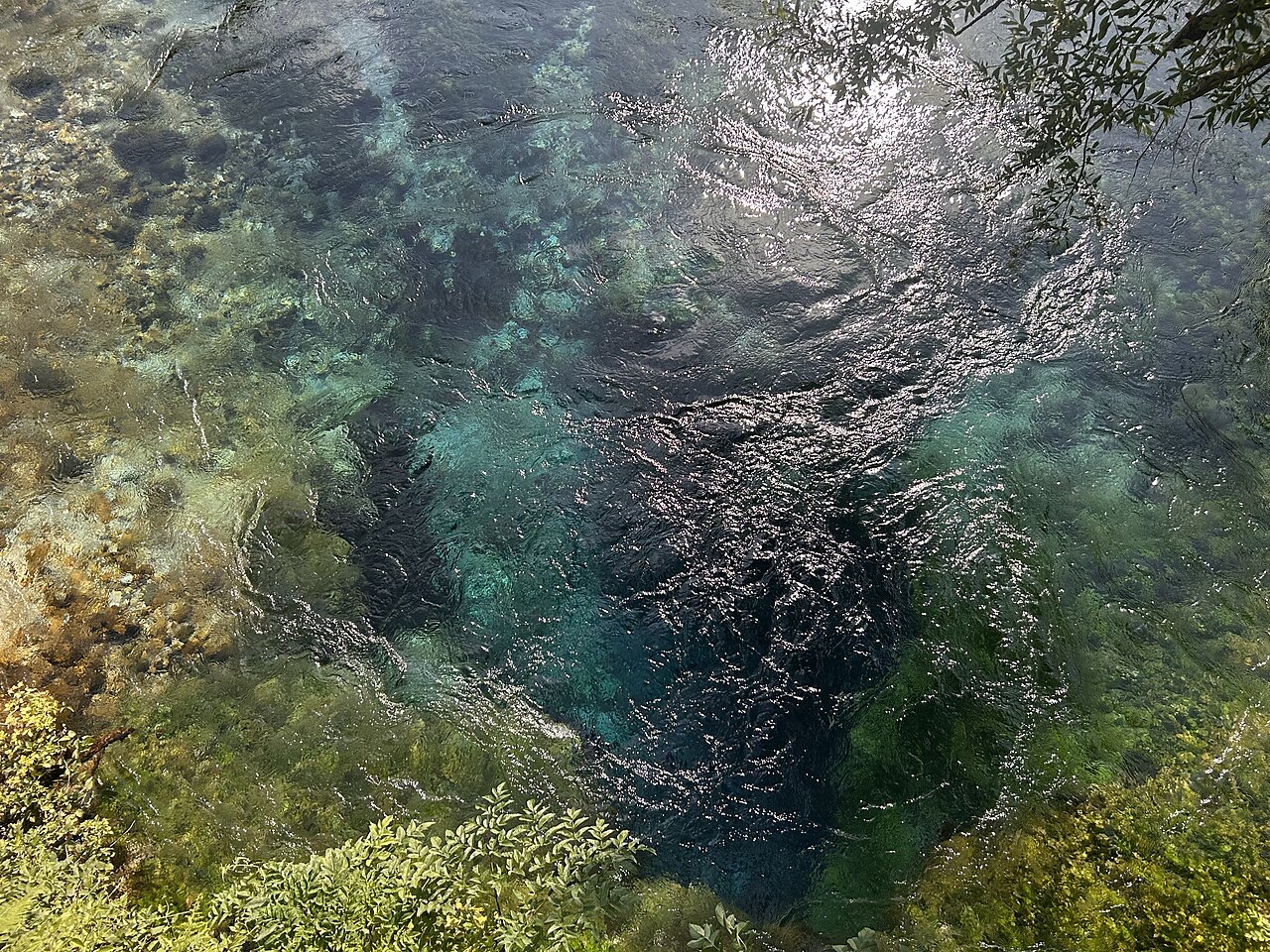
A karst spring of extraordinary clarity whose bottom has never been definitively reached.
保存
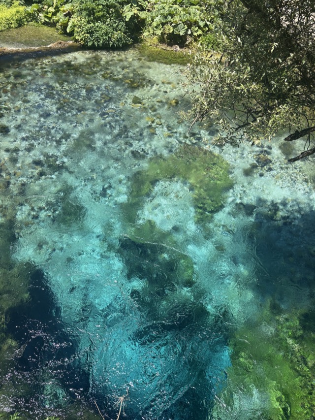
The Blue Eye is a spring where water comes up out of the ground so clear you can see deep into it. The middle is dark blue and the edges are pale — that is why it is called an eye. Divers have gone down more than 50 metres without finding the bottom.
The Blue Eye is a spring where water comes up out of the ground so clear you can see deep into it. The middle is dark blue and the edges are pale — that is why it is called an eye. Divers have gone down more than 50 metres without finding the bottom.
The Blue Eye (Albanian: Syri i Kaltër) is a water spring located slightly west of the village of Muzinë, in Finiq municipality, southern Albania. It is reached by car via the Sarandë–Gjirokastër road, joining from the village of Krongj. The spring sits at an altitude of 152 metres above sea level.
The spring is the initial water source of the Bistricë river, which runs for 25 kilometres before emptying into the Ionian Sea south of Sarandë. This connection has given the site an alternative name: the 'springs of Bistricë'.
The Blue Eye is a karst spring, meaning it issues from a hole dissolved through limestone bedrock over geological time. The clear blue water is visible from a depth of more than fifty metres. Divers have reached fifty metres, but the actual depth of the karst hole remains unknown.
The discharge rate of the spring is recorded at 18,400 litres per second, making it a substantial and consistent water source. The intense blue colouration of the water, visible from depth, is the defining visual characteristic that gives the spring its name in both Albanian and English.
The immediate area around the spring, covering 1.8 square kilometres (0.69 square miles), is designated a Nature Monument under Albanian protected-area legislation. The formally designated natural monument covers 180 hectares in total.
The vegetation of the protected zone is characterised by oak and sycamore trees. No further detail on the ecological composition of the area is provided in the available record.
In the summer of 2004, the Blue Eye spring temporarily dried up entirely. The article does not record the duration of the dry period, the cause, or whether flow returned naturally or as a result of intervention.
This event is notable given the spring's role as the sole recorded source of the Bistricë river. A cessation of flow at the source would have direct consequences for the full 25-kilometre length of the river downstream.
In the summer of 2017, part of the Blue Eye site was burned by wildfire. The article does not specify which portion of the protected area was affected, the extent of the damage, or whether recovery measures were undertaken following the fire.
The site's oak and sycamore tree cover would have been the primary vegetation at risk. Given that the protected zone covers 180 hectares, the scale of any loss is not quantified in the available record.
The Blue Eye is described as a popular tourist attraction. Its accessibility by road from the Sarandë–Gjirokastër route, combined with its position in the context of southern Albania's Ionian coast, places it within reach of the region's broader visitor infrastructure.
No visitor statistics, entry arrangements, or facilities are detailed in the available article. The site's status as a designated Nature Monument places it within Albania's system of protected areas, the framework for which is governed separately under national legislation.
最も暖かい月は August (日中の平均最高気温 31°C), 最も寒い月は January (夜間の平均最低気温 3°C), 最も雨が多い月は November (243 mm). 年間総降水量の平均は 1,491 mm.
| 月 | 最高気温 | 最低気温 | 降水量 | 降水日数 | 日照時間/日 |
|---|---|---|---|---|---|
| January | 11°C | 3°C | 177 mm | 13 | 6.9 h |
| February | 12°C | 3°C | 153 mm | 11 | 7.7 h |
| March | 15°C | 5°C | 144 mm | 12 | 9.3 h |
| April | 18°C | 8°C | 109 mm | 12 | 10.7 h |
| May | 23°C | 13°C | 79 mm | 10 | 11.9 h |
| June | 27°C | 17°C | 41 mm | 6 | 13.6 h |
| July | 31°C | 20°C | 20 mm | 4 | 13.8 h |
| August | 31°C | 20°C | 27 mm | 5 | 12.8 h |
| September | 26°C | 17°C | 115 mm | 9 | 10.6 h |
| October | 21°C | 12°C | 159 mm | 9 | 9.0 h |
| November | 16°C | 8°C | 243 mm | 13 | 6.9 h |
| December | 12°C | 4°C | 223 mm | 14 | 6.3 h |
出典: ERA5 reanalysis via Open-Meteo, 1994–2023 · 「最高気温」および「最低気温」は日平均最高・最低気温です。「降水日数」は降水量が1mm以上の日数を計上しています。
都市 · Gjirokastër
The 'stone city': slate-roofed tower houses on a steep slope beneath one of the Balkans' largest castles.
都市 · Vlorë
The Ionian resort town facing Corfu, and the arrival point for most visitors to southern Albania.
町 · Vlorë
Four small islands and very clear shallow water; the most photographed and most crowded stretch of the Albanian coast.
町 · Vlorë
A municipality of villages near Sarandë, containing the Blue Eye and the ancient site of Phoenice.
解説
Twenty-eight thousand square kilometres, seventy per cent of it hills and mountains, and a coast that changes character halfway…
このページに誤りがありますか? 修正は歓迎しており、原典記録と照合して確認します。何が誤っているか、また可能であれば正しい数値の出典をお知らせください。