Città · Berat
Berat
The 'city of a thousand windows': an Ottoman hill town under a still-inhabited castle, UNESCO-listed since 2008.
Ogni contea, ogni costa, ogni secolo
Vista guidata
Non conosci l'Albania? Ogni pagina si apre con una spiegazione in linguaggio semplice, comprensibile anche a un bambino di dieci anni, prima di entrare nei dettagli.
Vista per esperti
Conosci già le basi. Direttamente alla sostanza, con le spiegazioni elementari nascoste. Questa è l'impostazione predefinita.
Fiume · Berat County
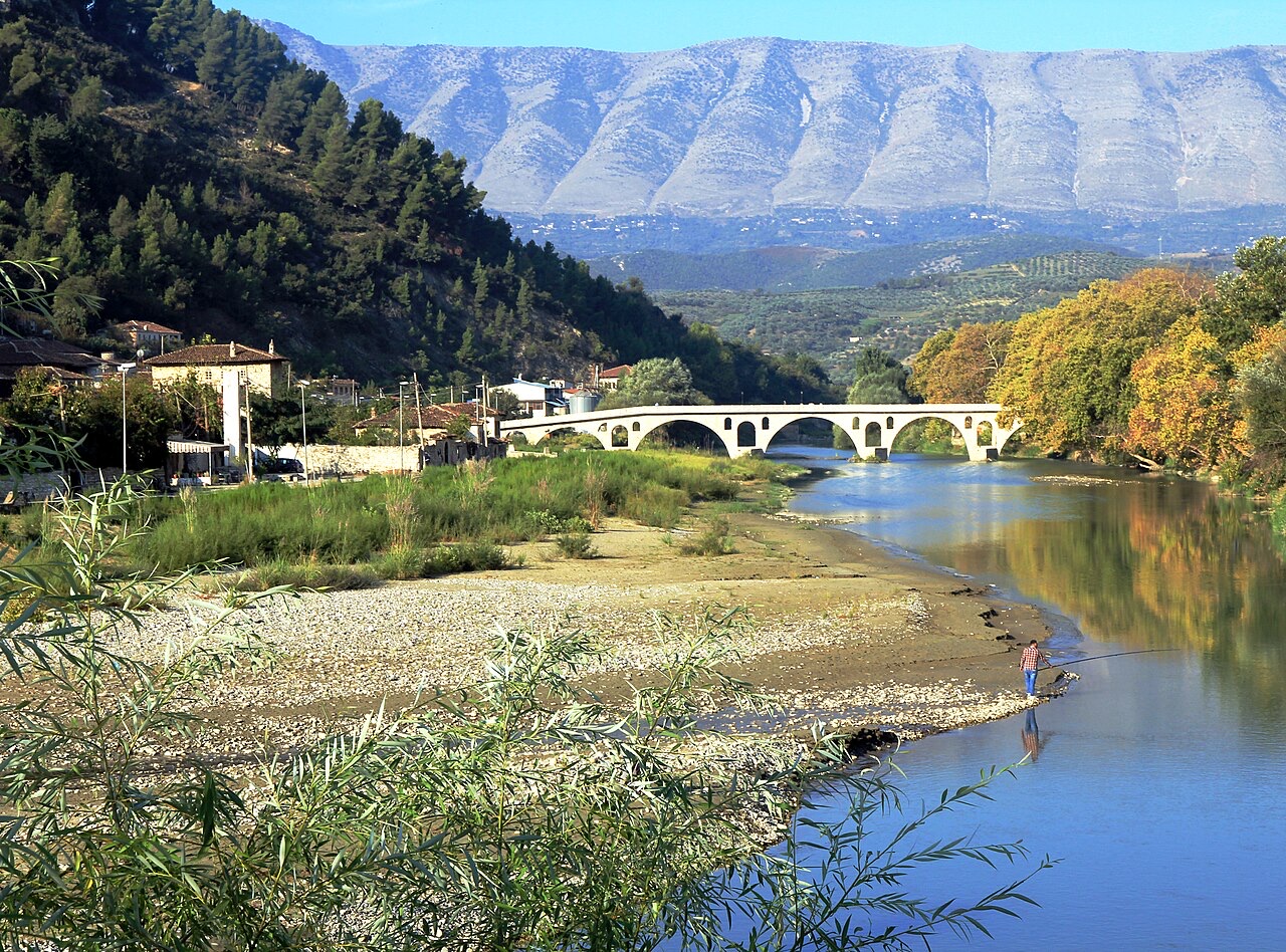
The river that carved the Osum canyon and runs through the middle of Berat.
Salva
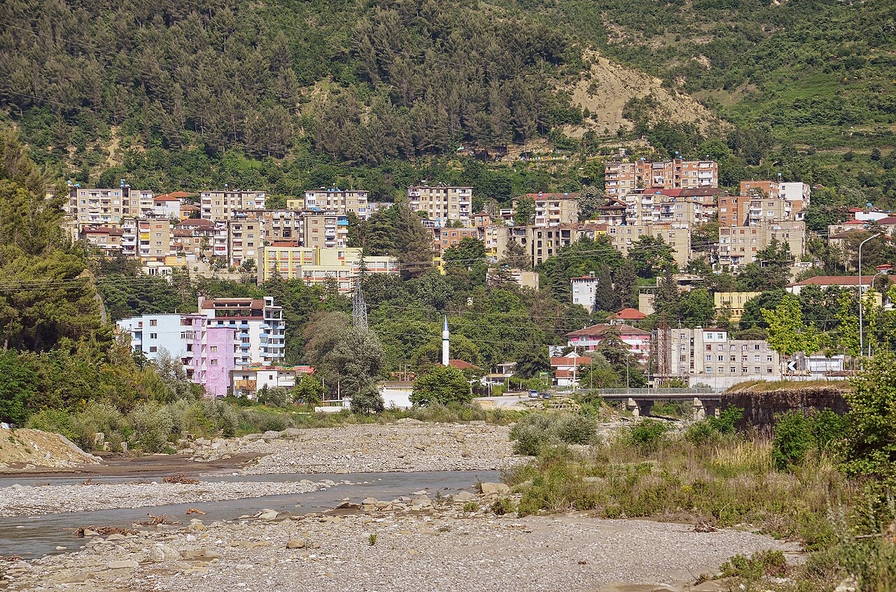
The Osum flows through a deep, narrow canyon and then past the old houses of Berat.
The Osum flows through a deep, narrow canyon and then past the old houses of Berat.
Il mese più caldo è August (massima giornaliera media 32°C), il più freddo è January (minima giornaliera media 2°C), e il più piovoso è November (114 mm). La precipitazione annua totale è in media 953 mm.
| Mese | Massima | Minima | Pioggia | Giorni piovosi | Sole/giorno |
|---|---|---|---|---|---|
| January | 12°C | 2°C | 92 mm | 11 | 7.2 h |
| February | 13°C | 3°C | 85 mm | 10 | 8.2 h |
| March | 16°C | 5°C | 96 mm | 11 | 9.6 h |
| April | 20°C | 8°C | 86 mm | 12 | 10.8 h |
| May | 24°C | 12°C | 75 mm | 9 | 12.0 h |
| June | 29°C | 17°C | 50 mm | 7 | 13.6 h |
| July | 32°C | 19°C | 29 mm | 5 | 13.8 h |
| August | 32°C | 20°C | 32 mm | 5 | 12.8 h |
| September | 27°C | 16°C | 90 mm | 9 | 10.7 h |
| October | 22°C | 12°C | 95 mm | 8 | 9.2 h |
| November | 17°C | 8°C | 114 mm | 10 | 7.3 h |
| December | 13°C | 4°C | 111 mm | 11 | 6.7 h |
Fonte: ERA5 reanalysis via Open-Meteo, 1994–2023 · «Massima» e «Minima» sono la temperatura dell'aria massima e minima giornaliera media. «Giorni piovosi» conta i giorni con almeno 1 mm di precipitazione.
Città · Berat
The 'city of a thousand windows': an Ottoman hill town under a still-inhabited castle, UNESCO-listed since 2008.
Canyon · Berat
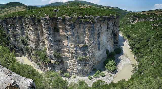
A 26 km limestone gorge up to 80 m deep, run by raft in spring and walked in late summer.
Città di medie dimensioni · Berat
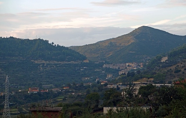
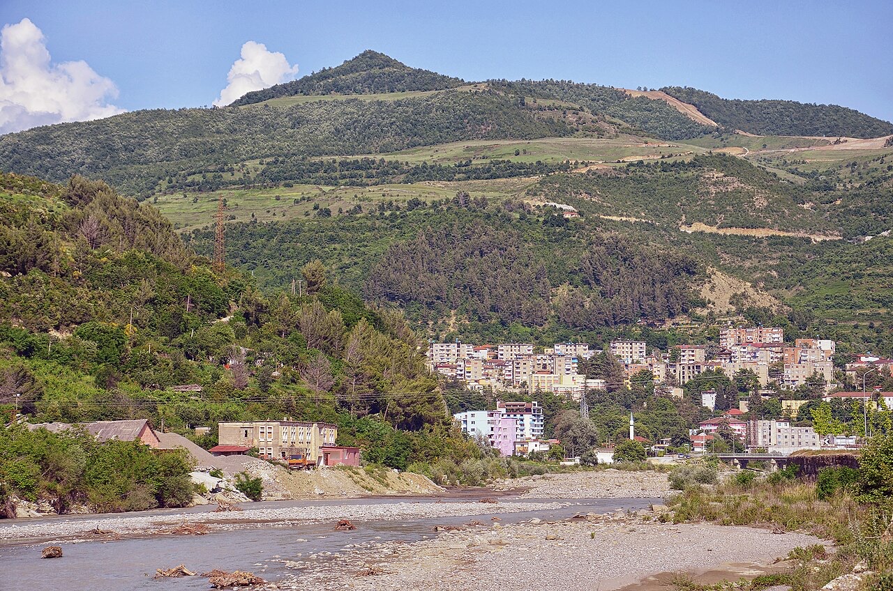
A small town below Mount Tomorr built around a former arms factory.
Hai notato un errore in questa pagina? Le correzioni sono benvenute e vengono verificate rispetto al record di fonte. Indica cosa è sbagliato e, se possibile, da dove proviene il dato corretto.