Kota besar · Berat
Berat
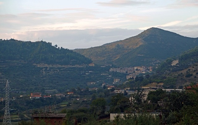
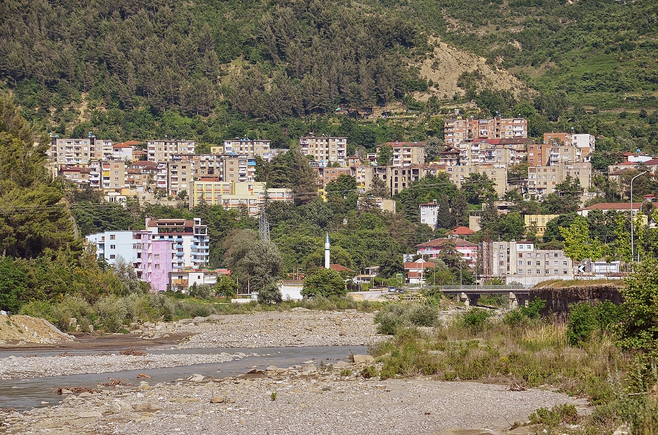
The 'city of a thousand windows': an Ottoman hill town under a still-inhabited castle, UNESCO-listed since 2008.
Setiap kabupaten, pantai, dan abad
Tampilan terpandu
Baru mengenal Albania? Setiap halaman dibuka dengan penjelasan dalam bahasa sederhana yang dapat dibaca oleh anak usia sepuluh tahun, sebelum detail lebih lanjut dimulai.
Tampilan ahli
Anda sudah mengetahui dasar-dasarnya. Langsung ke inti pembahasan, dengan penjelasan sederhana yang disembunyikan. Ini adalah tampilan default.
Sungai · Berat County
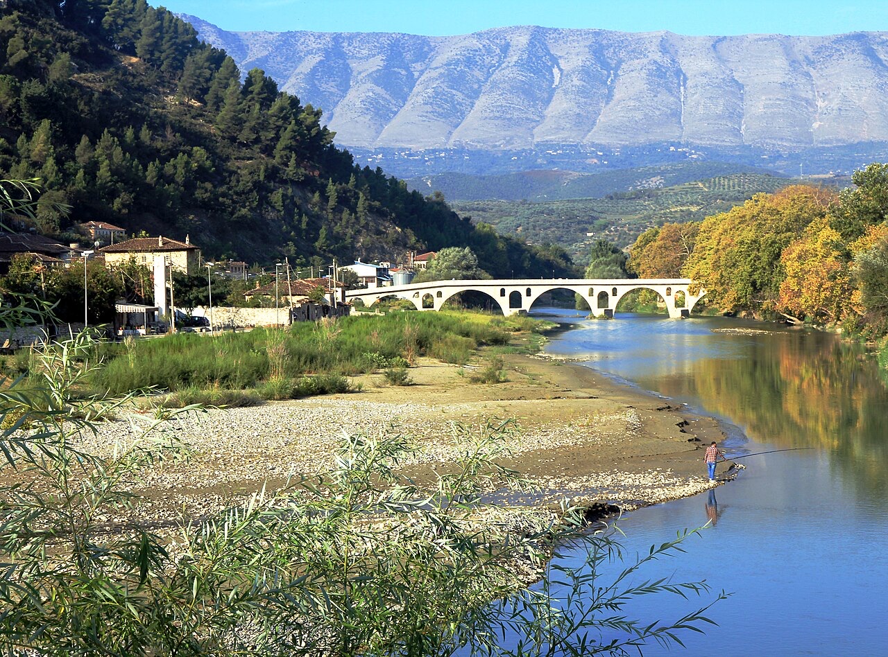
The river that carved the Osum canyon and runs through the middle of Berat.
Simpan
The Osum flows through a deep, narrow canyon and then past the old houses of Berat.
The Osum flows through a deep, narrow canyon and then past the old houses of Berat.
Bulan terhangat adalah August (rata-rata suhu harian tertinggi 32°C), yang terdingin adalah January (rata-rata suhu harian terendah 2°C), dan yang terbasah adalah November (114 mm). Total curah hujan tahunan rata-rata 953 mm.
| Bulan | Tertinggi | Terendah | Hujan | Hari hujan | Matahari/hari |
|---|---|---|---|---|---|
| January | 12°C | 2°C | 92 mm | 11 | 7.2 h |
| February | 13°C | 3°C | 85 mm | 10 | 8.2 h |
| March | 16°C | 5°C | 96 mm | 11 | 9.6 h |
| April | 20°C | 8°C | 86 mm | 12 | 10.8 h |
| May | 24°C | 12°C | 75 mm | 9 | 12.0 h |
| June | 29°C | 17°C | 50 mm | 7 | 13.6 h |
| July | 32°C | 19°C | 29 mm | 5 | 13.8 h |
| August | 32°C | 20°C | 32 mm | 5 | 12.8 h |
| September | 27°C | 16°C | 90 mm | 9 | 10.7 h |
| October | 22°C | 12°C | 95 mm | 8 | 9.2 h |
| November | 17°C | 8°C | 114 mm | 10 | 7.3 h |
| December | 13°C | 4°C | 111 mm | 11 | 6.7 h |
Sumber: ERA5 reanalysis via Open-Meteo, 1994–2023 · "Tertinggi" dan "Terendah" adalah rata-rata suhu udara harian maksimum dan minimum. "Hari hujan" menghitung hari dengan curah hujan minimal 1 mm.
Kota besar · Berat
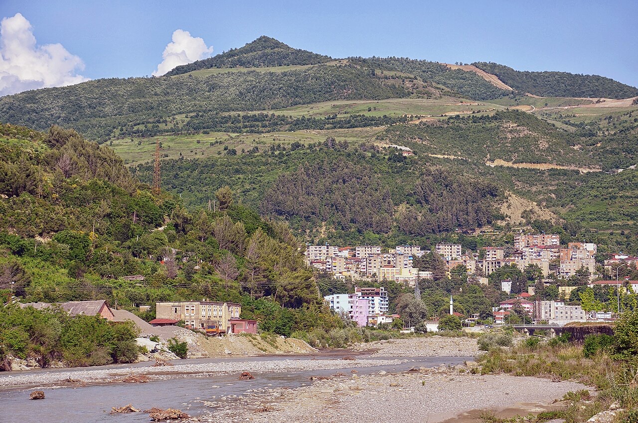
The 'city of a thousand windows': an Ottoman hill town under a still-inhabited castle, UNESCO-listed since 2008.
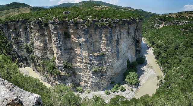
Ngarai · Berat
A 26 km limestone gorge up to 80 m deep, run by raft in spring and walked in late summer.
Ada yang salah di halaman ini? Koreksi sangat disambut dan akan diperiksa terhadap catatan sumber. Beri tahu kami apa yang salah dan, jika memungkinkan, dari mana angka yang benar berasal.