Stadt · Berat
Berat
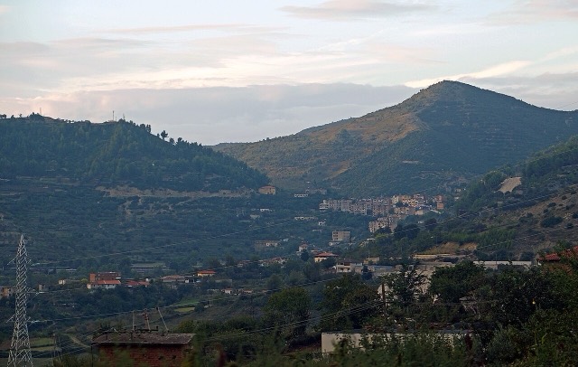
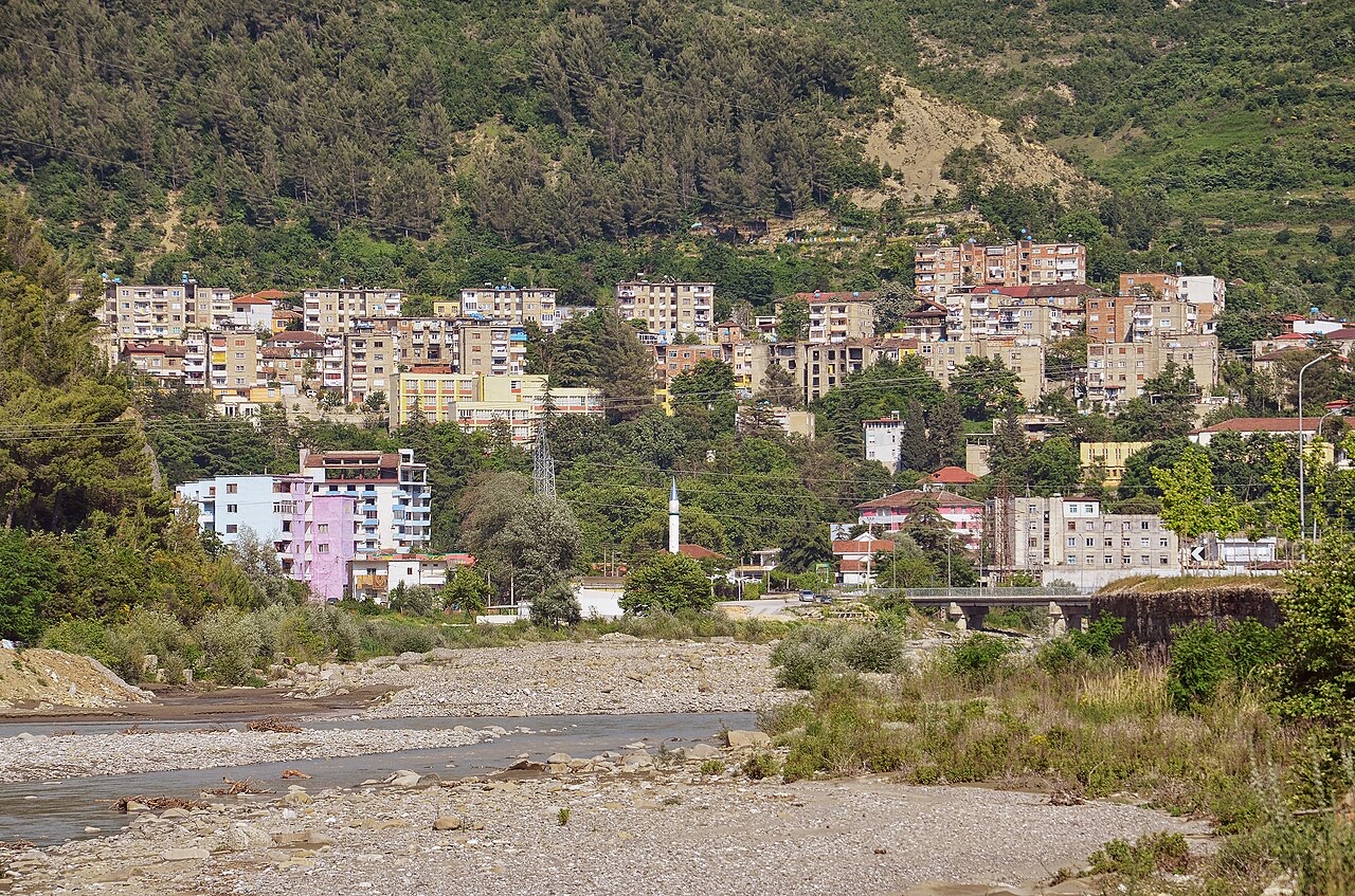
The 'city of a thousand windows': an Ottoman hill town under a still-inhabited castle, UNESCO-listed since 2008.
Jeder Kreis, jede Küste, jedes Jahrhundert
Geführte Ansicht
Neu in Albanien? Jede Seite beginnt mit einer einfachen Erklärung, die auch ein Zehnjähriger verstehen würde – bevor es ins Detail geht.
Expertenansicht
Sie kennen die Grundlagen bereits. Direkt zur Substanz, ohne die vereinfachten Erklärungen. Dies ist die Standardeinstellung.
Fluss · Berat County
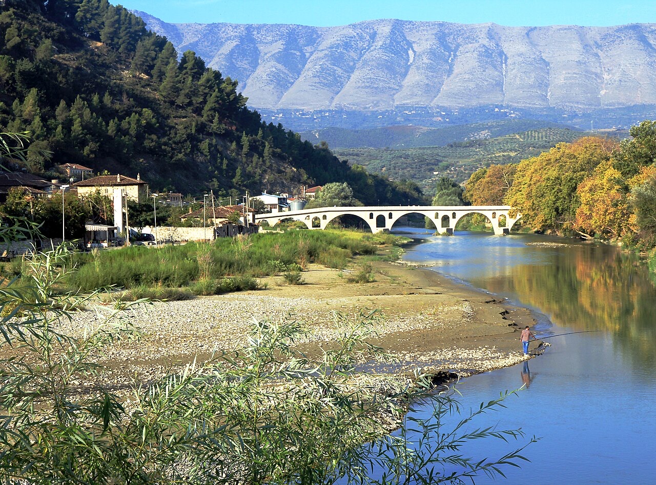
The river that carved the Osum canyon and runs through the middle of Berat.
Speichern
The Osum flows through a deep, narrow canyon and then past the old houses of Berat.
The Osum flows through a deep, narrow canyon and then past the old houses of Berat.
Der wärmste Monat ist August (mittleres tägliches Maximum 32°C), der kälteste ist January (mittleres tägliches Minimum 2°C), und der regenreichste ist November (114 mm). Der mittlere jährliche Gesamtniederschlag beträgt 953 mm.
| Monat | Maximum | Minimum | Niederschlag | Regentage | Sonne/Tag |
|---|---|---|---|---|---|
| January | 12°C | 2°C | 92 mm | 11 | 7.2 h |
| February | 13°C | 3°C | 85 mm | 10 | 8.2 h |
| March | 16°C | 5°C | 96 mm | 11 | 9.6 h |
| April | 20°C | 8°C | 86 mm | 12 | 10.8 h |
| May | 24°C | 12°C | 75 mm | 9 | 12.0 h |
| June | 29°C | 17°C | 50 mm | 7 | 13.6 h |
| July | 32°C | 19°C | 29 mm | 5 | 13.8 h |
| August | 32°C | 20°C | 32 mm | 5 | 12.8 h |
| September | 27°C | 16°C | 90 mm | 9 | 10.7 h |
| October | 22°C | 12°C | 95 mm | 8 | 9.2 h |
| November | 17°C | 8°C | 114 mm | 10 | 7.3 h |
| December | 13°C | 4°C | 111 mm | 11 | 6.7 h |
Quelle: ERA5 reanalysis via Open-Meteo, 1994–2023 · „Maximum" und „Minimum" sind das mittlere tägliche Temperaturmaximum bzw. -minimum. „Regentage" zählt Tage mit mindestens 1 mm Niederschlag.
Stadt · Berat
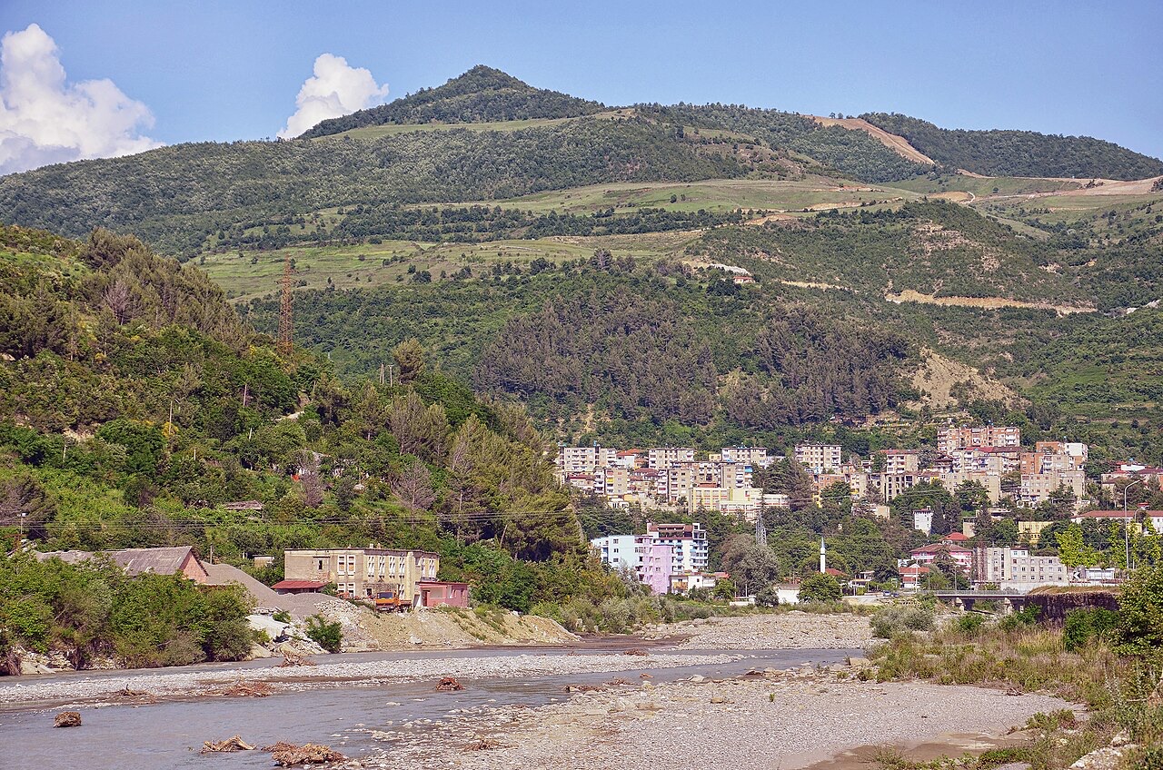
The 'city of a thousand windows': an Ottoman hill town under a still-inhabited castle, UNESCO-listed since 2008.
Schlucht · Berat
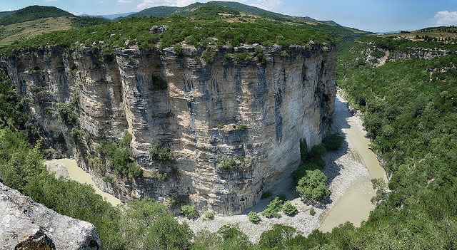
A 26 km limestone gorge up to 80 m deep, run by raft in spring and walked in late summer.
Etwas falsch auf dieser Seite? Korrekturen sind willkommen und werden gegen den Quelldatensatz geprüft. Bitte mitteilen, was falsch ist und, wenn möglich, woher die richtige Angabe stammt.