
Stadt · Vlorë
Sarandë
The Ionian resort town facing Corfu, and the arrival point for most visitors to southern Albania.
Jeder Kreis, jede Küste, jedes Jahrhundert
Geführte Ansicht
Neu in Albanien? Jede Seite beginnt mit einer einfachen Erklärung, die auch ein Zehnjähriger verstehen würde – bevor es ins Detail geht.
Expertenansicht
Sie kennen die Grundlagen bereits. Direkt zur Substanz, ohne die vereinfachten Erklärungen. Dies ist die Standardeinstellung.
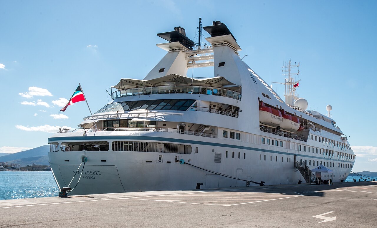
Hafen · Vlorë County
A small passenger port whose Corfu crossings are the busiest sea route into southern Albania.
Speichern
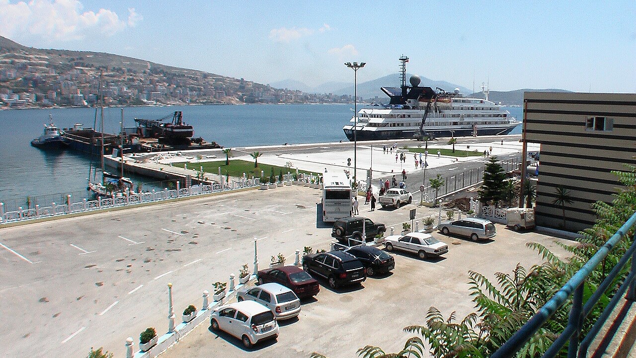
Sarandë's port is small, but boats to the Greek island of Corfu leave from it many times a day in summer, and cruise ships sometimes stop there.
Sarandë's port is small, but boats to the Greek island of Corfu leave from it many times a day in summer, and cruise ships sometimes stop there.
Der wärmste Monat ist August (mittleres tägliches Maximum 31°C), der kälteste ist January (mittleres tägliches Minimum 5°C), und der regenreichste ist November (206 mm). Der mittlere jährliche Gesamtniederschlag beträgt 1,225 mm. Die Meerestemperatur erreicht im August einen Höchstwert von etwa 26°C.
| Monat | Maximum | Minimum | Niederschlag | Regentage | Sonne/Tag | Meer |
|---|---|---|---|---|---|---|
| January | 12°C | 5°C | 143 mm | 12 | 7.2 h | 16°C |
| February | 13°C | 5°C | 124 mm | 11 | 8.0 h | 15°C |
| March | 15°C | 7°C | 112 mm | 11 | 9.6 h | 16°C |
| April | 19°C | 10°C | 78 mm | 10 | 10.9 h | 16°C |
| May | 23°C | 14°C | 52 mm | 8 | 12.1 h | 19°C |
| June | 28°C | 19°C | 27 mm | 4 | 13.6 h | 24°C |
| July | 31°C | 21°C | 14 mm | 2 | 13.8 h | 26°C |
| August | 31°C | 22°C | 22 mm | 3 | 12.9 h | 26°C |
| September | 26°C | 18°C | 109 mm | 8 | 10.7 h | 26°C |
| October | 22°C | 14°C | 144 mm | 10 | 9.1 h | 25°C |
| November | 17°C | 10°C | 206 mm | 13 | 7.1 h | 21°C |
| December | 13°C | 6°C | 195 mm | 13 | 6.5 h | 18°C |
Quelle: ERA5 reanalysis via Open-Meteo, 1994–2023 · „Maximum" und „Minimum" sind das mittlere tägliche Temperaturmaximum bzw. -minimum. „Regentage" zählt Tage mit mindestens 1 mm Niederschlag.
Stadt · Vlorë
The Ionian resort town facing Corfu, and the arrival point for most visitors to southern Albania.
Kleinstadt · Vlorë
Four small islands and very clear shallow water; the most photographed and most crowded stretch of the Albanian coast.
Fährverbindung · Vlorë
The busiest sea crossing into southern Albania, and the usual day-trip link with Greece.
Etwas falsch auf dieser Seite? Korrekturen sind willkommen und werden gegen den Quelldatensatz geprüft. Bitte mitteilen, was falsch ist und, wenn möglich, woher die richtige Angabe stammt.
