河流 · Gjirokastër
The Vjosa
One of the last large free-flowing rivers in Europe, declared a Wild River National Park in March 2023.
每个县、每段海岸、每个世纪
引导视图
初次了解阿尔巴尼亚?每个页面均以通俗易懂的说明开篇——即便是十岁的孩子也能读懂——随后再展开详细内容。
专业视图
您已掌握基础知识。直接进入正题,简明解释默认隐藏。此为默认模式。
地点
欧洲最后的野河之一维约萨河,以及沙拉河、奥苏姆河、德林河、什昆比尼河和布纳河。
河流 · Gjirokastër
One of the last large free-flowing rivers in Europe, declared a Wild River National Park in March 2023.
河流 · Shkodër
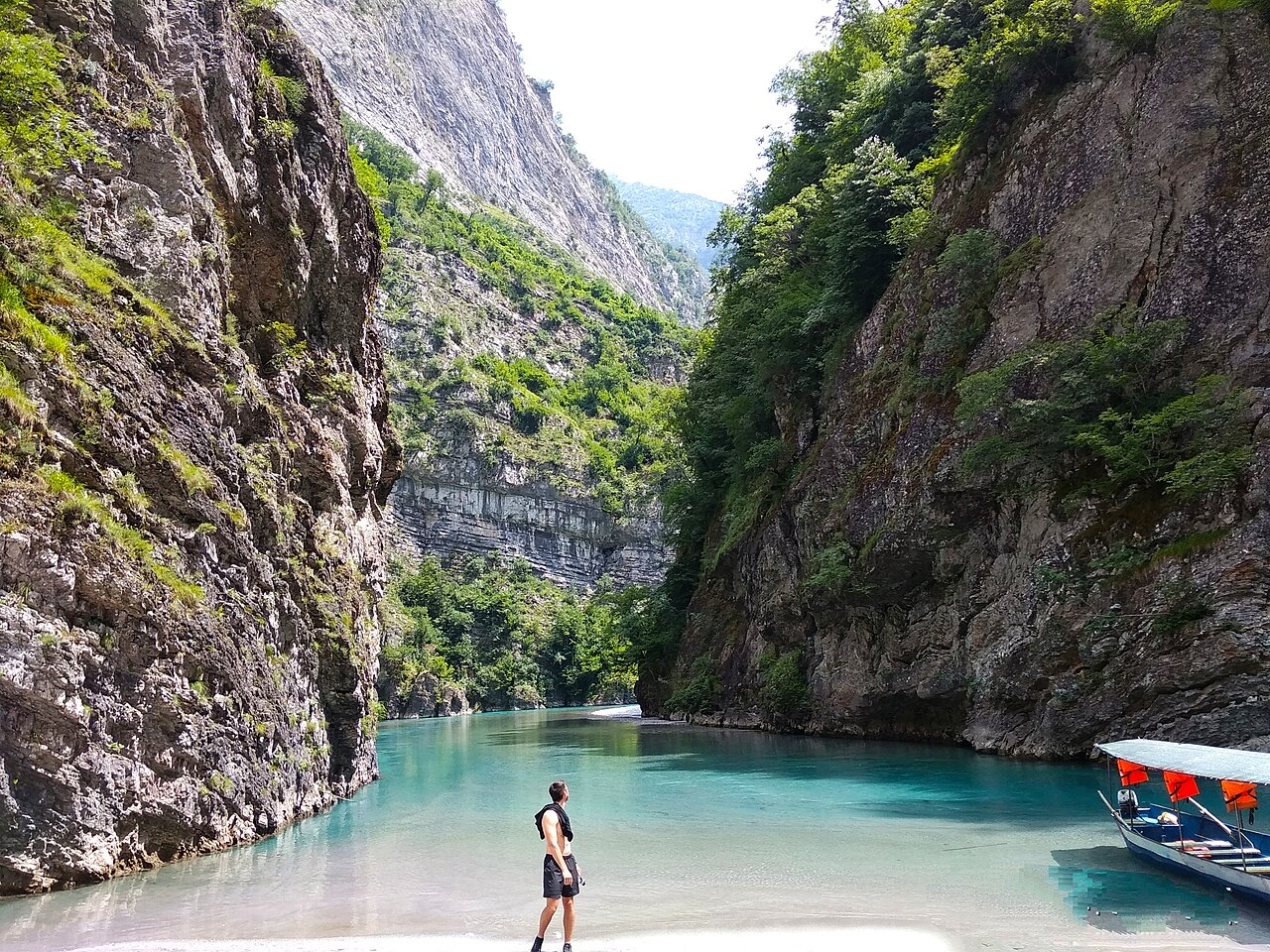
A tributary of the Drin above Koman, reached by boat and often called Albania's Thailand.
河流 · Shkodër
Albania's longest river and the backbone of its electricity system, dammed three times in the north.
河流 · Elbasan
The river that splits Albania in two — the historic dividing line between Gheg and Tosk.