Река · Gjirokastër
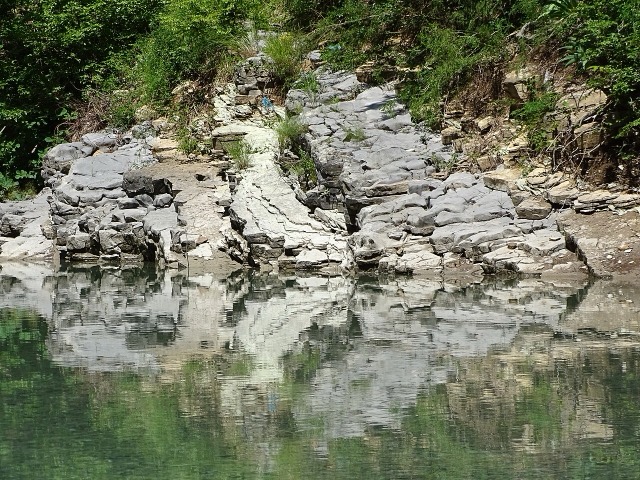
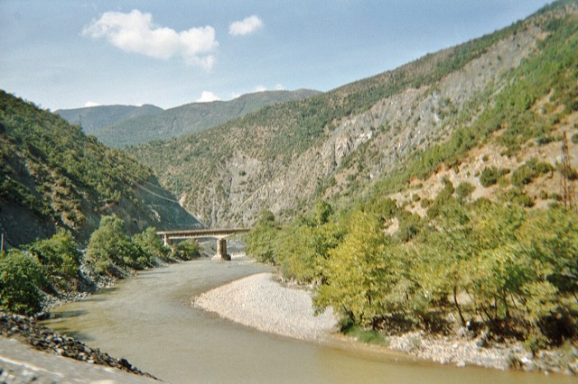
The Vjosa
One of the last large free-flowing rivers in Europe, declared a Wild River National Park in March 2023.
Каждый округ, каждый берег, каждый век
Режим с пояснениями
Впервые об Албании? Каждая страница начинается с доступного объяснения, понятного даже десятилетнему ребёнку, и лишь затем переходит к подробностям.
Режим эксперта
Основы вам уже известны. Сразу к существу вопроса, без простых пояснений. Это режим по умолчанию.
Места
Вьоса, одна из последних диких рек Европы, а также Шала, Осум, Дрин, Шкумбин и Буна.
Река · Gjirokastër
One of the last large free-flowing rivers in Europe, declared a Wild River National Park in March 2023.
Река · Shkodër
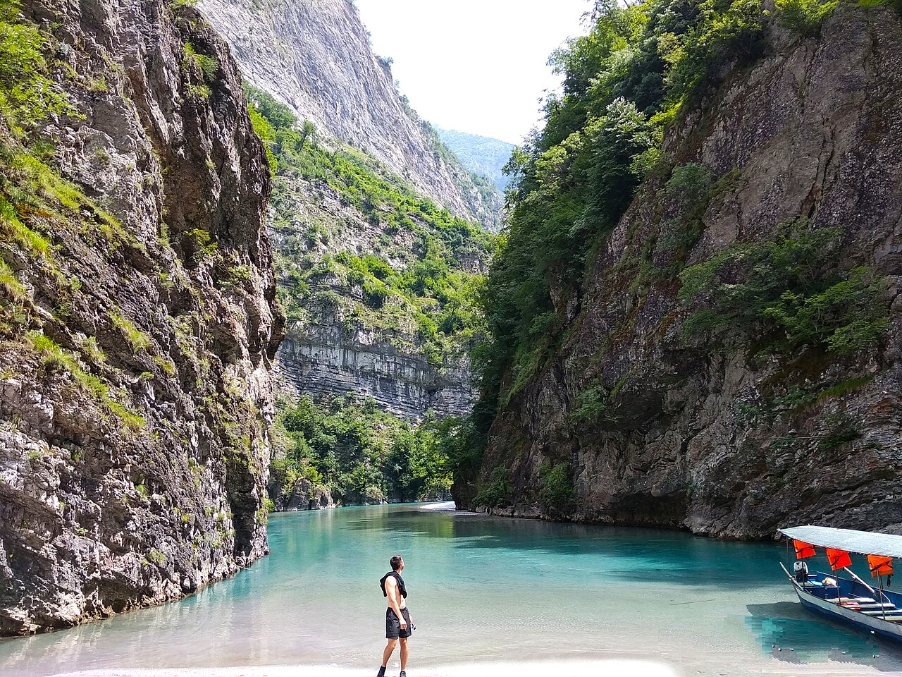
A tributary of the Drin above Koman, reached by boat and often called Albania's Thailand.
Река · Shkodër
Albania's longest river and the backbone of its electricity system, dammed three times in the north.
Река · Elbasan
The river that splits Albania in two — the historic dividing line between Gheg and Tosk.