Rio · Gjirokastër
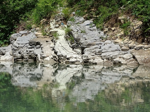
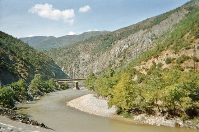
The Vjosa
One of the last large free-flowing rivers in Europe, declared a Wild River National Park in March 2023.
Cada condado, cada costa, cada século
Vista guiada
Novo na Albânia? Cada página começa com uma explicação em linguagem simples, acessível a uma criança de dez anos, antes de entrar em pormenor.
Vista para especialistas
Já conhece o essencial. Direto ao conteúdo, com as explicações simples ocultadas. Esta é a vista predefinida.
Lugares
O Vjosa, um dos últimos rios selvagens da Europa, e o Shala, o Osum, o Drin, o Shkumbin e o Buna.
Rio · Gjirokastër
One of the last large free-flowing rivers in Europe, declared a Wild River National Park in March 2023.
Rio · Shkodër
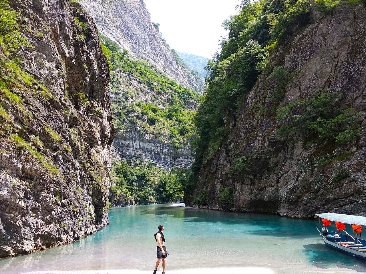
A tributary of the Drin above Koman, reached by boat and often called Albania's Thailand.
Rio · Shkodër
Albania's longest river and the backbone of its electricity system, dammed three times in the north.
Rio · Elbasan
The river that splits Albania in two — the historic dividing line between Gheg and Tosk.