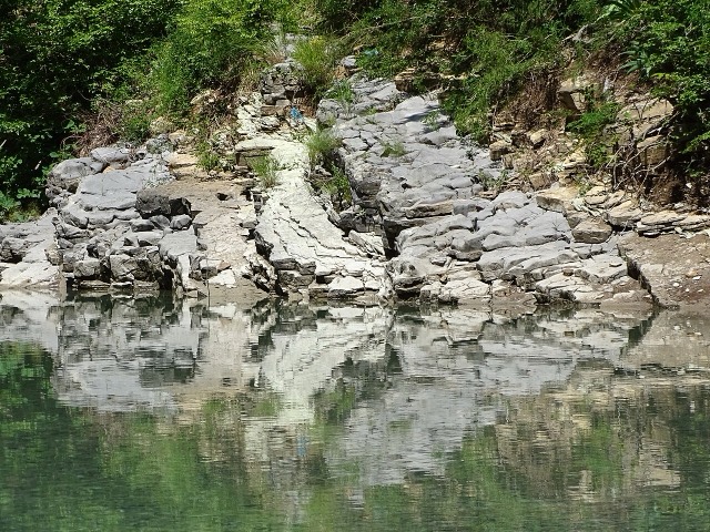
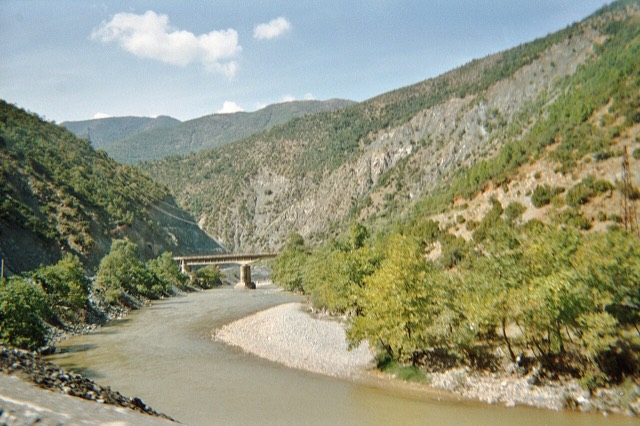
Rivier · Gjirokastër
The Vjosa
One of the last large free-flowing rivers in Europe, declared a Wild River National Park in March 2023.
Elke provincie, elke kust, elke eeuw
Begeleidende weergave
Nieuw in Albanië? Elke pagina begint met een uitleg in eenvoudige taal die u aan een tienjarige zou kunnen voorlezen, voordat de details beginnen.
Expertweergave
U kent de basis al. Meteen naar de kern, met de eenvoudige uitleg verborgen. Dit is de standaardinstelling.
Plaatsen
De Vjosa, een van de laatste wilde rivieren van Europa, en de Shala, Osum, Drin, Shkumbin en Buna.
Rivier · Gjirokastër
One of the last large free-flowing rivers in Europe, declared a Wild River National Park in March 2023.
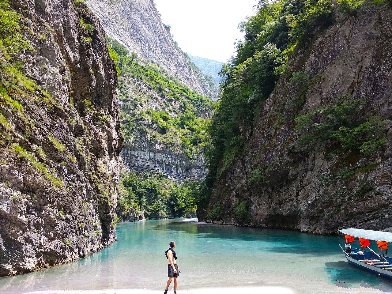
Rivier · Shkodër
A tributary of the Drin above Koman, reached by boat and often called Albania's Thailand.
Rivier · Shkodër
Albania's longest river and the backbone of its electricity system, dammed three times in the north.
Rivier · Elbasan
The river that splits Albania in two — the historic dividing line between Gheg and Tosk.