川 · Gjirokastër
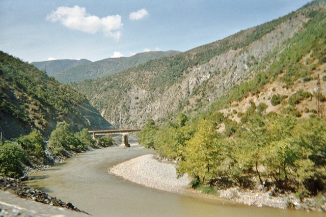
The Vjosa
One of the last large free-flowing rivers in Europe, declared a Wild River National Park in March 2023.
すべての県、すべての海岸、すべての世紀
ガイドビュー
アルバニアを初めて知る方へ。各ページは、詳細に入る前に、10歳の子どもにも読み聞かせられる平易な説明から始まります。
エキスパートビュー
基本知識はすでにお持ちの方向け。平易な説明を非表示にし、内容を直接表示します。これがデフォルトです。
場所
ヨーロッパ最後の野生の川のひとつヴョサ川、そしてシャラ川、オスム川、ドリン川、シュクンビン川、ブナ川。
川 · Gjirokastër
One of the last large free-flowing rivers in Europe, declared a Wild River National Park in March 2023.
川 · Shkodër
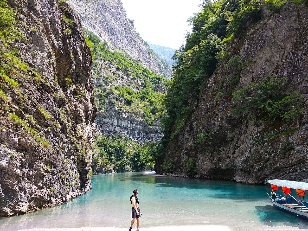
A tributary of the Drin above Koman, reached by boat and often called Albania's Thailand.
川 · Shkodër
Albania's longest river and the backbone of its electricity system, dammed three times in the north.
川 · Elbasan
The river that splits Albania in two — the historic dividing line between Gheg and Tosk.