Fiume · Gjirokastër
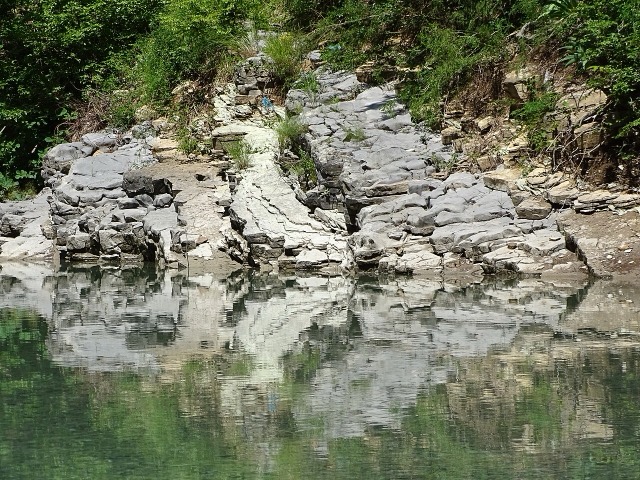
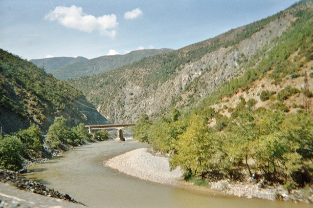
The Vjosa
One of the last large free-flowing rivers in Europe, declared a Wild River National Park in March 2023.
Ogni contea, ogni costa, ogni secolo
Vista guidata
Non conosci l'Albania? Ogni pagina si apre con una spiegazione in linguaggio semplice, comprensibile anche a un bambino di dieci anni, prima di entrare nei dettagli.
Vista per esperti
Conosci già le basi. Direttamente alla sostanza, con le spiegazioni elementari nascoste. Questa è l'impostazione predefinita.
Luoghi
La Vjosa, uno degli ultimi fiumi selvaggi d'Europa, e lo Shala, l'Osum, il Drin, lo Shkumbin e la Buna.
Fiume · Gjirokastër
One of the last large free-flowing rivers in Europe, declared a Wild River National Park in March 2023.
Fiume · Shkodër
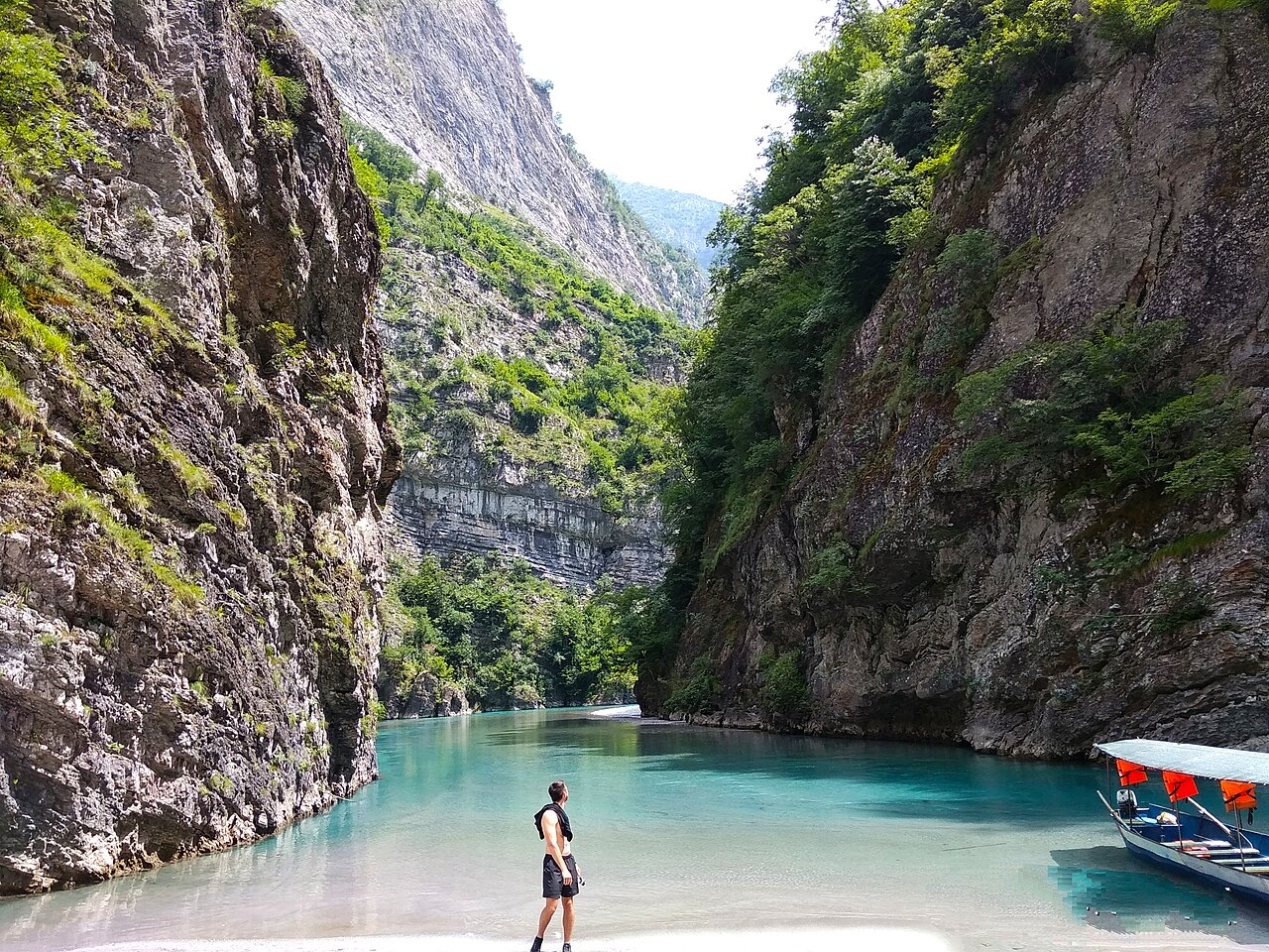
A tributary of the Drin above Koman, reached by boat and often called Albania's Thailand.
Fiume · Shkodër
Albania's longest river and the backbone of its electricity system, dammed three times in the north.
Fiume · Elbasan
The river that splits Albania in two — the historic dividing line between Gheg and Tosk.