Sungai · Gjirokastër
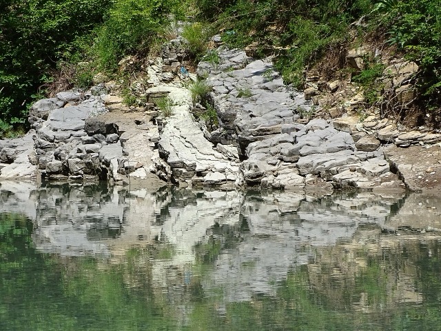
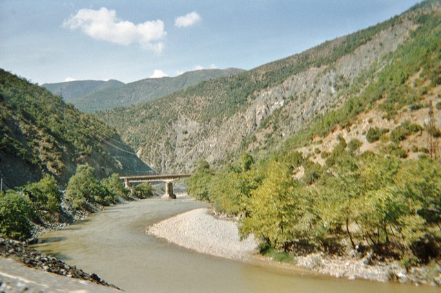
The Vjosa
One of the last large free-flowing rivers in Europe, declared a Wild River National Park in March 2023.
Setiap kabupaten, pantai, dan abad
Tampilan terpandu
Baru mengenal Albania? Setiap halaman dibuka dengan penjelasan dalam bahasa sederhana yang dapat dibaca oleh anak usia sepuluh tahun, sebelum detail lebih lanjut dimulai.
Tampilan ahli
Anda sudah mengetahui dasar-dasarnya. Langsung ke inti pembahasan, dengan penjelasan sederhana yang disembunyikan. Ini adalah tampilan default.
Tempat
Vjosa, salah satu sungai liar terakhir di Eropa, serta Shala, Osum, Drin, Shkumbin, dan Buna.
Sungai · Gjirokastër
One of the last large free-flowing rivers in Europe, declared a Wild River National Park in March 2023.
Sungai · Shkodër
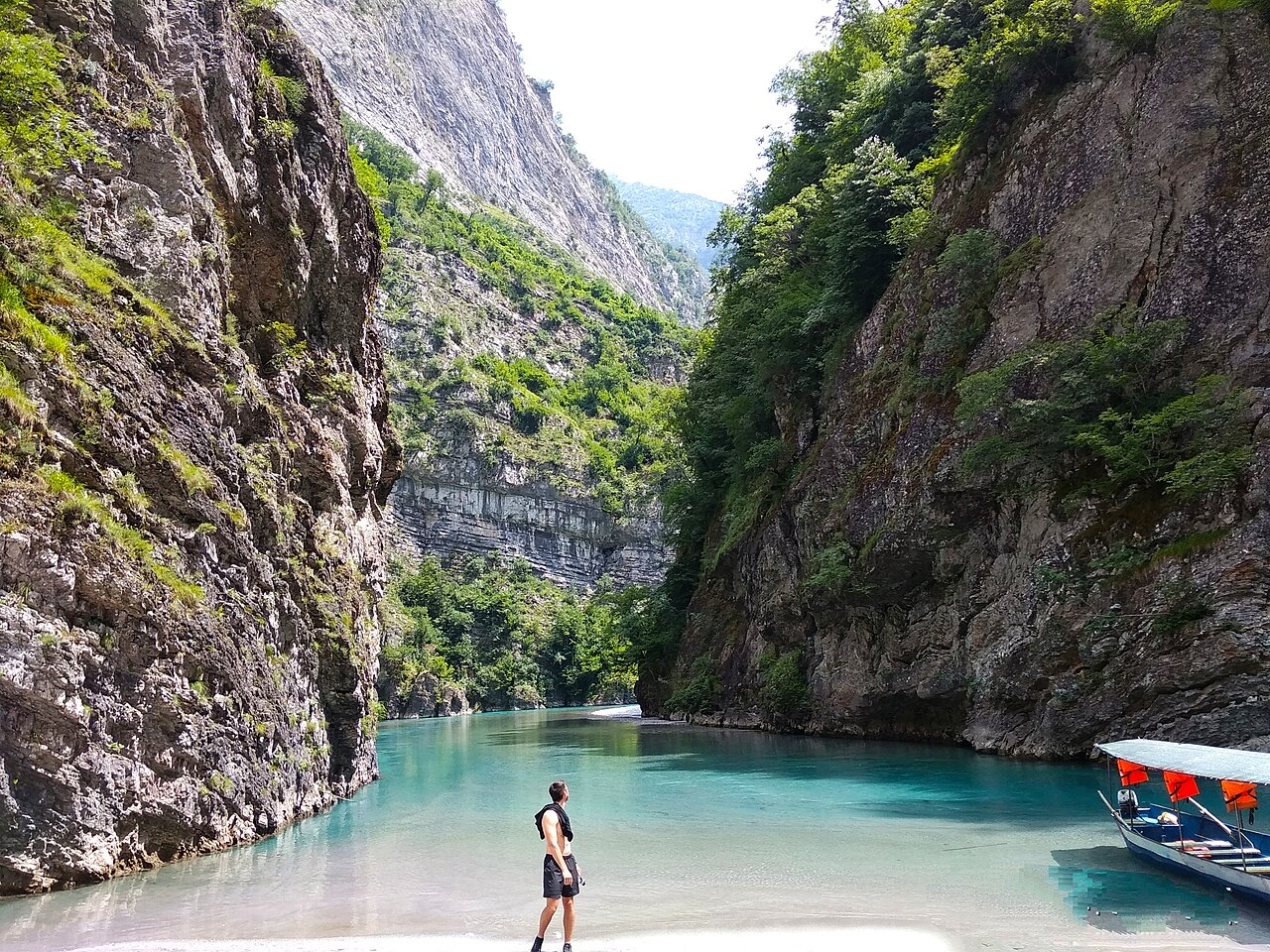
A tributary of the Drin above Koman, reached by boat and often called Albania's Thailand.
Sungai · Shkodër
Albania's longest river and the backbone of its electricity system, dammed three times in the north.
Sungai · Elbasan
The river that splits Albania in two — the historic dividing line between Gheg and Tosk.