Fleuve/Rivière · Gjirokastër
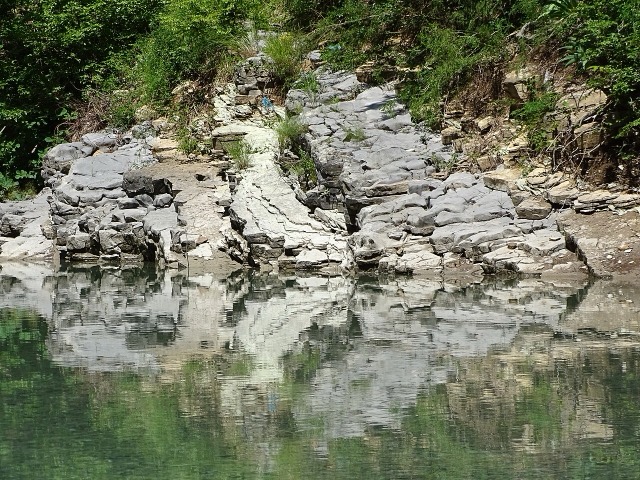
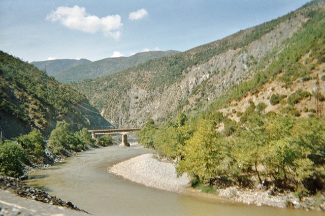
The Vjosa
One of the last large free-flowing rivers in Europe, declared a Wild River National Park in March 2023.
Chaque comté, chaque côte, chaque siècle
Vue guidée
Nouveau en Albanie ? Chaque page s'ouvre sur une explication en langage clair, accessible à un enfant de dix ans, avant d'entrer dans le détail.
Vue expert
Vous connaissez déjà les bases. Directement à l'essentiel, les explications simples étant masquées. Il s'agit du réglage par défaut.
Lieux
La Vjosa, l'une des dernières rivières sauvages d'Europe, et la Shala, l'Osum, le Drin, le Shkumbin et la Buna.
Fleuve/Rivière · Gjirokastër
One of the last large free-flowing rivers in Europe, declared a Wild River National Park in March 2023.
Fleuve/Rivière · Shkodër
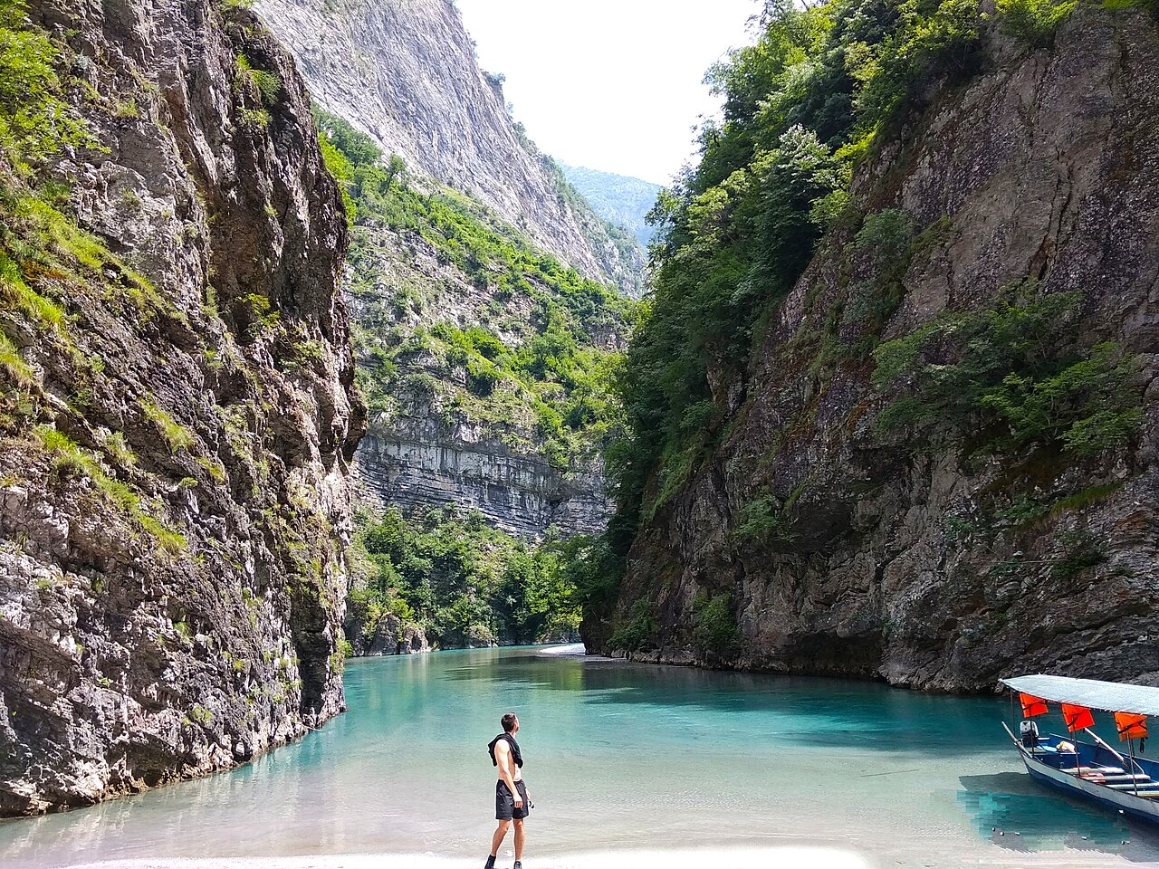
A tributary of the Drin above Koman, reached by boat and often called Albania's Thailand.
Fleuve/Rivière · Berat
The river that carved the Osum canyon and runs through the middle of Berat.
Fleuve/Rivière · Shkodër
Albania's longest river and the backbone of its electricity system, dammed three times in the north.
Fleuve/Rivière · Shkodër
The short outflow of Lake Shkodër, and Albania's only navigable river.
Fleuve/Rivière · Elbasan
The river that splits Albania in two — the historic dividing line between Gheg and Tosk.